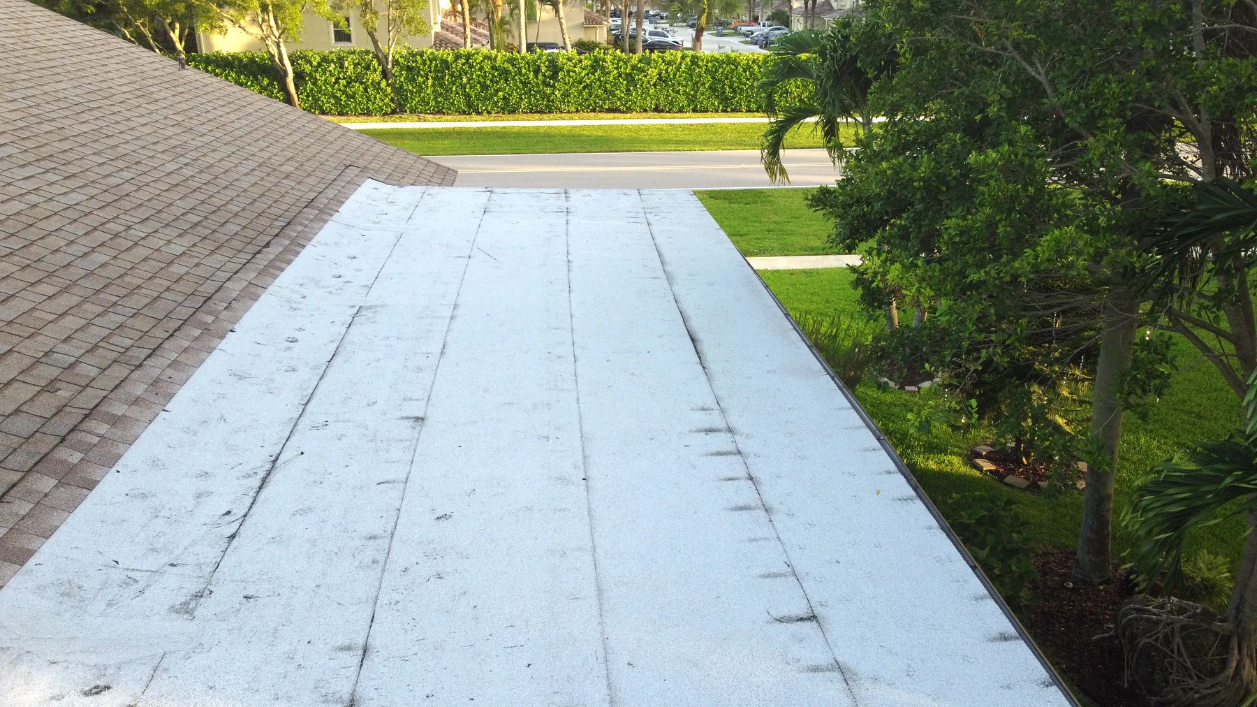
Aerial Thermal Imaging: When It Helps Property Teams
How aerial thermal imaging adds useful temperature context for roofs, equipment and solar arrays, and where a closer inspection still matters.
Aerial thermal imaging uses an infrared camera to show relative surface-temperature patterns from above. For a property team, that can make a large roof, rooftop equipment area or solar array easier to screen without immediately sending someone into every hard-to-reach location. It is especially useful when the question is practical: Which areas deserve a closer look? Where should a contractor begin? What did the surface pattern look like before or after a change?
The image is not a diagnosis. A thermal camera records infrared energy, not a hidden defect label. Sun exposure, shade, wind, surface materials, moisture, recent rain and equipment operation can all influence the pattern. The value comes from planning the flight around a clear question, pairing thermal views with visible-light images and giving the right trade professional a useful starting point for the next step.
That distinction is important for budgets as well as safety. A well-planned aerial review can help a team focus roof access, maintenance time and specialist attention on the areas that need it most. It should not be sold or used as a promise that a camera can replace a roofer, electrician, solar technician or building-envelope professional. The stronger outcome is a better-informed next conversation. It gives the person responsible for the property a clearer map of what to discuss, document or investigate next, with less guesswork and fewer unnecessary site visits.
What aerial thermal imaging shows
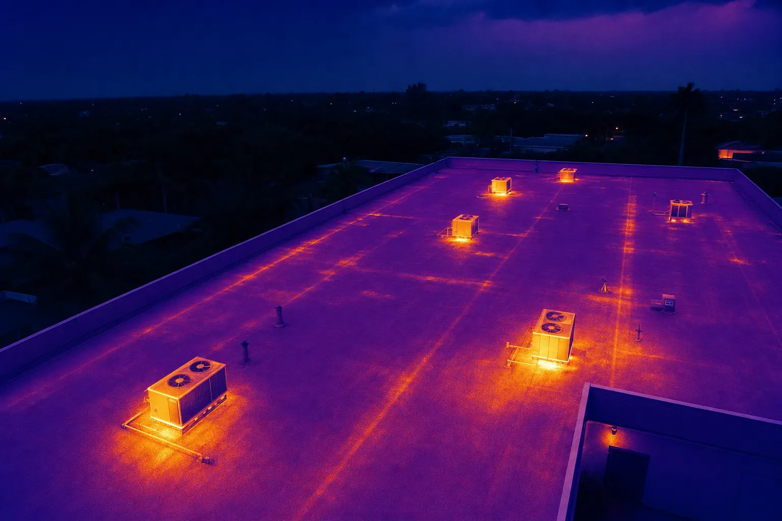
A thermal image translates differences in infrared energy into a visible color scale. In a building or property review, that can reveal an area that appears warmer or cooler than nearby surfaces. The broad aerial view is helpful because it shows whether a pattern is isolated to one roof section, clustered around equipment, following a drainage path or spread across a larger area. It gives the reviewer context before they focus on a closer image.
For roof work, thermal imagery can help a team identify areas that may warrant a closer review, particularly when compared with standard aerial photography and the building layout. On a solar array, it can show temperature differences that may help direct maintenance attention. Around mechanical or electrical equipment, it can document relative heat patterns visible at the time of capture. The company's thermal inspection service is built around that combination of planned aerial views and organized handoff.
The key word is relative. A warmer-looking area is not automatically a failure, and a cooler-looking area is not automatically sound. A useful thermal image identifies a location and a pattern. It does not skip the work of checking operating conditions, construction details and the relevant professional judgment. In practice, the image is often the first layer of a review, not the last.
Start with the decision the images need to support
Thermal capture is most useful when it answers a defined property question. A facilities manager may need to prioritize roof areas before scheduling access. A contractor may need a broad baseline before a repair discussion. A solar operator may want organized visual and thermal views for a maintenance team. An owner may need a dated record after a weather event or before work changes a surface that will be difficult to review later.
Share the site address, the concern, the priority areas, the roof or equipment layout, any recent work and who will review the images after the flight. Those details shape the timing, the flight path and the delivery. They also prevent a common problem: a technically interesting thermal image that cannot be connected to a specific roof zone, piece of equipment or decision.
For a building-wide exterior record, the drone building inspection guide explains how to organize roof, facade, equipment and site-context views into a clearer property record. When the scope is limited to a roof, the drone roof inspection guide helps define the visible conditions and location references that should be included.
Build a capture plan before the flight
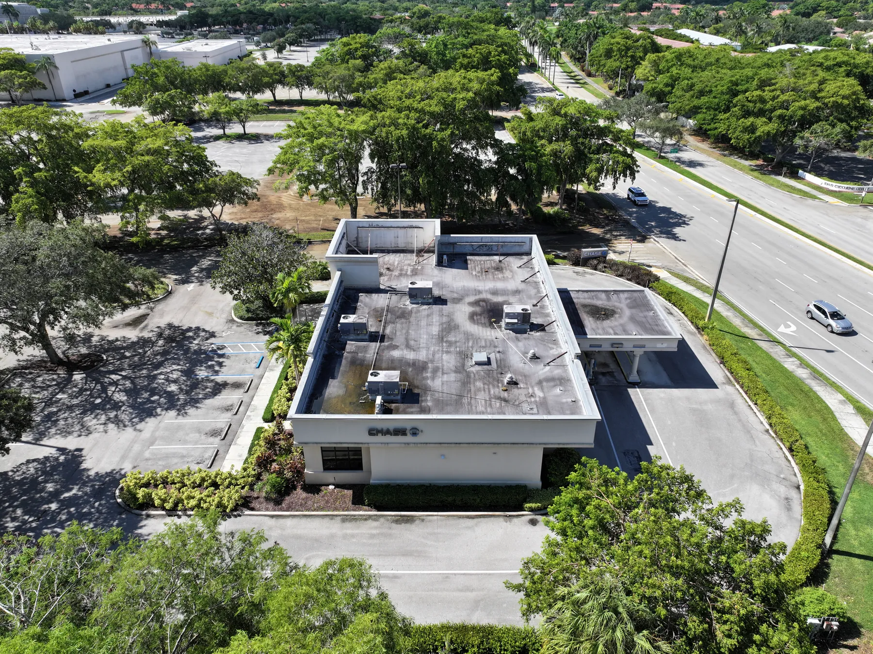
A useful thermal assignment begins with a short, written plan. Identify the property sections that matter, the sequence for covering them and the views a reviewer will need to locate a concern later. For a warehouse, that may mean an overall property image, separate roof-zone views, equipment groups and a few closer details. For a retail center, the plan may also include drainage areas, signage, loading access or facade transitions. For a solar array, it may follow rows, inverters or the parts of the system a maintenance team already wants to compare.
The plan should also set the delivery standard before the aircraft launches. Decide whether the recipient needs a full image library, a concise issue-led set or a marked-up handoff for a contractor. Name the files by building, roof zone, array section or another reference the site team already uses. Include the capture date and enough orientation images that a person who was not present can move from the property overview to the exact area being discussed.
This structure is particularly valuable when the images will be reviewed days later by an owner, maintenance manager, insurer or specialist. Aerial work can save time at the beginning of a conversation, but only when the finished record makes the next action clear. The commercial inspection field work illustrates how roof, building, parking and access context can be documented together rather than treated as separate fragments.
Choose the right conditions for a useful flight
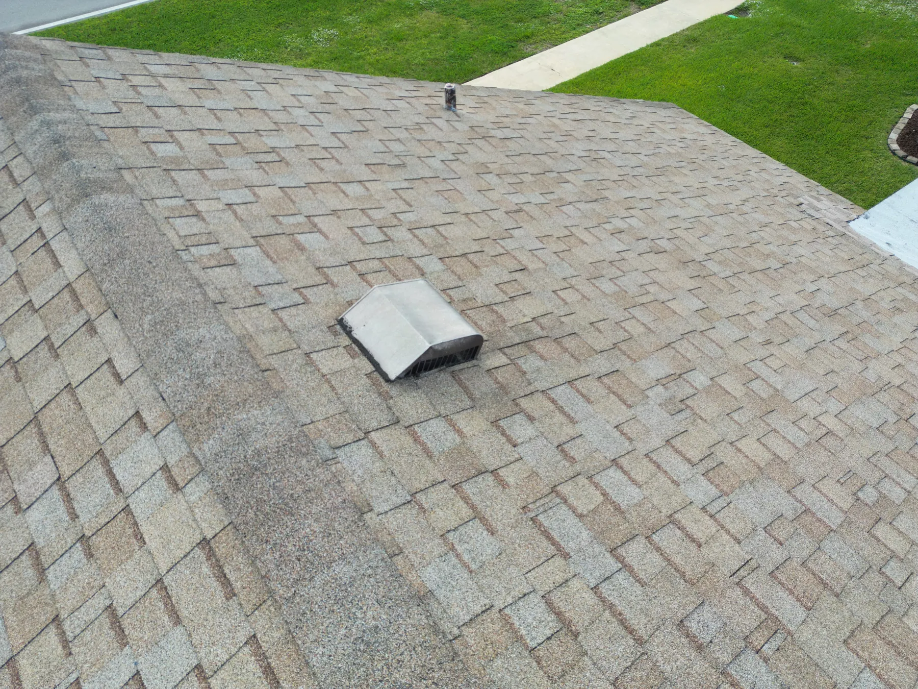
Thermal results are tied to the conditions at the time of capture. A roof that has been heated unevenly by the sun, cooled by wind, shaded by nearby trees or recently wet may show patterns that need careful interpretation. Equipment load and operating cycles can also change what a camera sees. Before the flight, confirm the recent weather, the time of day, whether equipment is running and whether the site has any conditions that could alter the surface temperature.
That is why a planned assignment is more useful than an opportunistic flyover. The pilot should have a safe launch area, site contact, access instructions and a clear understanding of active work, people, vehicles and restricted areas. The Federal Aviation Administration's commercial drone guidance also requires the remote pilot to plan around applicable operating rules and airspace, rather than assuming a clear view of a roof makes the flight simple.
If the conditions are not suitable for the question at hand, rescheduling can be the right call. A credible inspection record is more valuable than an image set produced simply because the aircraft was available that day. This is particularly relevant after severe weather, when an owner may want immediate answers but wet surfaces, changing clouds or site-access constraints can make a rushed thermal interpretation less reliable. A visible-light aerial record may still be useful at that moment, while the thermal portion is scheduled for conditions that support the question properly.
Pair thermal views with visible-light images
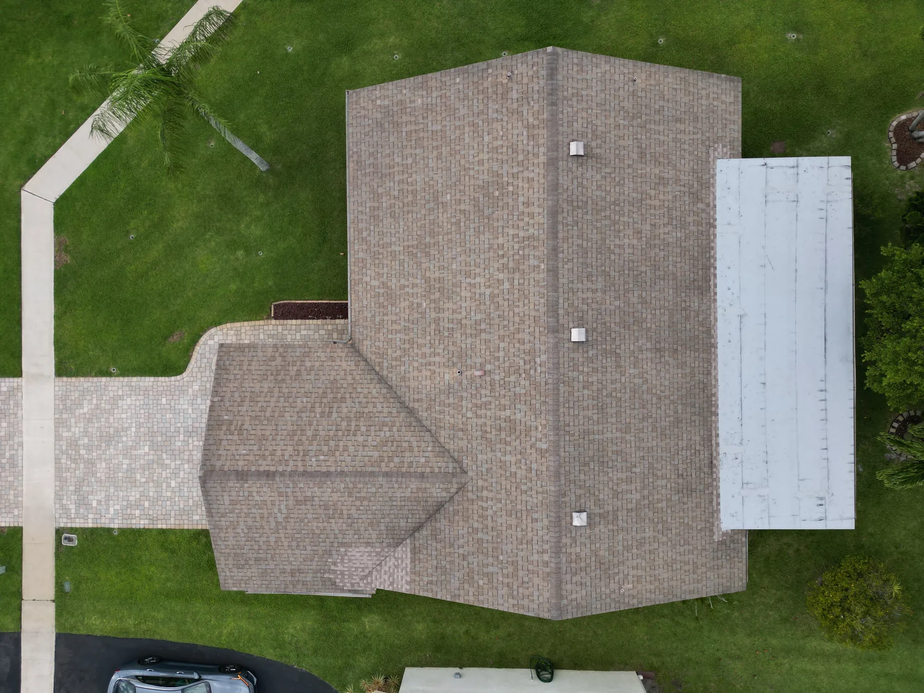
A thermal image is much easier to use when it is paired with a conventional photograph from a similar position. The visible-light view helps the reviewer recognize the roof edge, drain, curb, solar row or equipment unit. The thermal view adds the surface-temperature pattern. Together, they make it easier to locate the area, compare it with nearby surfaces and decide whether an on-foot review is appropriate.
A useful delivery usually begins with a high overview, then moves to medium views of each roof zone or work area, followed by closer images of the pattern that needs attention. This wide, medium and close sequence prevents isolated images from becoming a guessing game later. The same structure makes repeat coverage more useful because the team can compare similar views over time instead of sorting through unrelated angles.
Captions should describe what is visible, not turn an image into a conclusion. “Warmer pattern near the west-facing equipment curb” is a more useful and more credible note than “failed insulation” or “active leak.” The first statement tells the reviewer where to look and preserves the limits of the image. The second skips necessary investigation and can create an expensive misunderstanding.
The drone inspection report guide covers the labels, image pairs, dates and location references that turn an aerial capture into a handoff someone can act on. For sites that need a broader overhead reference, construction and mapping coverage can add a consistent site overview alongside perspective images.
Where thermal aerial coverage is most useful
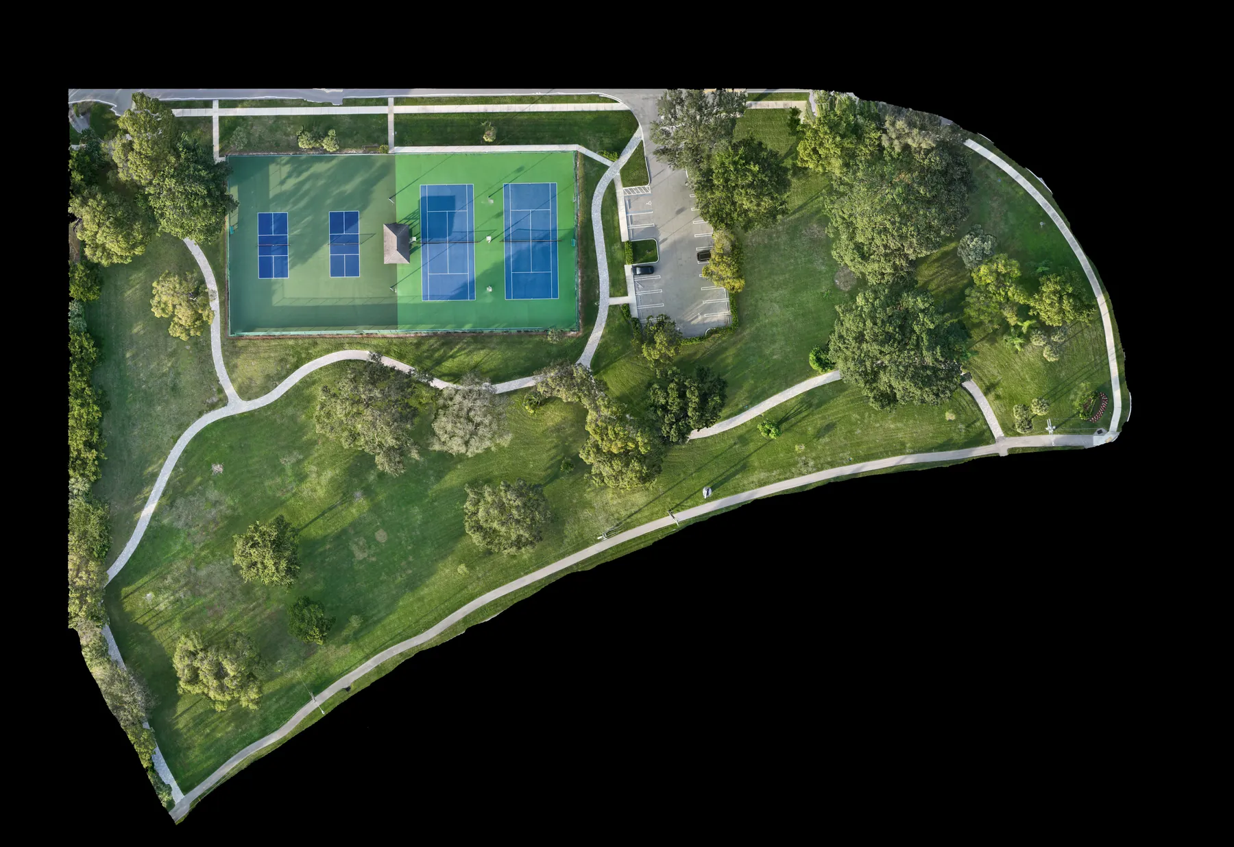
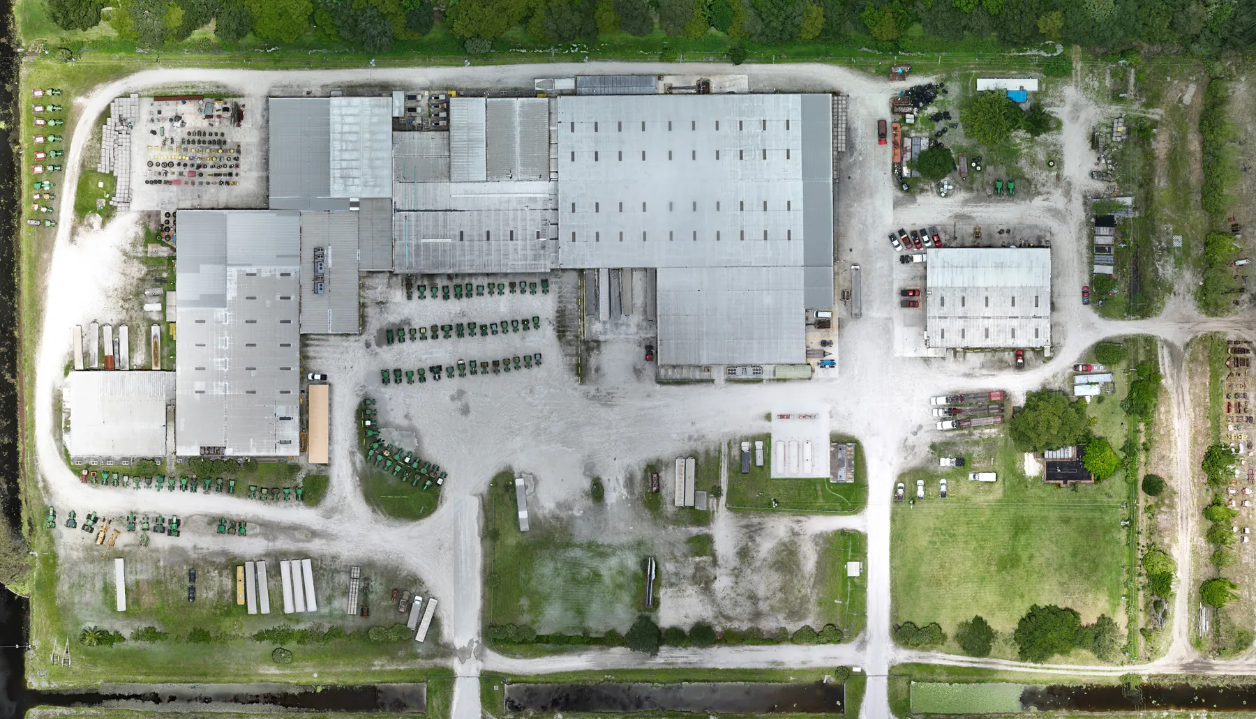
Commercial roofs are a common starting point because a large surface can be hard to review safely and efficiently from the ground. A planned thermal pass can add context around roof sections, drains, penetrations, edges and equipment areas that may need closer review. It works best when the property team has already identified the business question, such as a recurring concern, a maintenance-planning need or a condition that should be documented before repair work begins.
Solar arrays can also benefit from thermal and visible-light imagery when the goal is to direct a maintenance conversation toward specific locations. The site's solar panel drone inspection service explains how organized aerial coverage can support a commercial solar review without claiming that a thermal image alone identifies the root cause of a performance issue.
Equipment and electrical areas may show relative temperature patterns that are useful to document, but the follow-up still belongs with the qualified technician who understands the system. Aerial imagery can shorten the search and give that technician better location context. It cannot replace direct testing, safety procedures or repair decisions.
Know the limits before making a maintenance decision
Thermal imaging is a screening and documentation tool, not a shortcut around professional inspection. It cannot see through a roof assembly, confirm moisture content, verify electrical performance, determine structural integrity or certify that a repair is needed. Two areas that look different in a thermal image may differ because of material, angle, shading, airflow or recent exposure rather than a defect.
The best next step is to treat the image as evidence to review, not an answer to assume. Note the location, time, weather and visible context. Compare the thermal and standard images. Then share the record with the roofing, mechanical, electrical or solar professional who can investigate the issue with the right access and instruments. That approach protects the property team from overreading a single image while still getting real value from a faster aerial overview.
Repeat visits need the same discipline. A thermal image from one date is not automatically comparable with an image from another date if the weather, lighting, roof condition or equipment loading has changed. When comparison is the goal, record the conditions, recreate the same broad viewpoints where practical and make the differences clear to the reviewer. The point is to build a trustworthy baseline, not to imply laboratory precision from a changing outdoor site.
For a quote or planned roof review, the drone roof inspection cost guide explains the site, access, coverage and delivery factors that shape the scope. The company's roof inspection field work also shows the kind of roof and property context a planned aerial record can provide.
How West Boca Aerial Photography supports the review
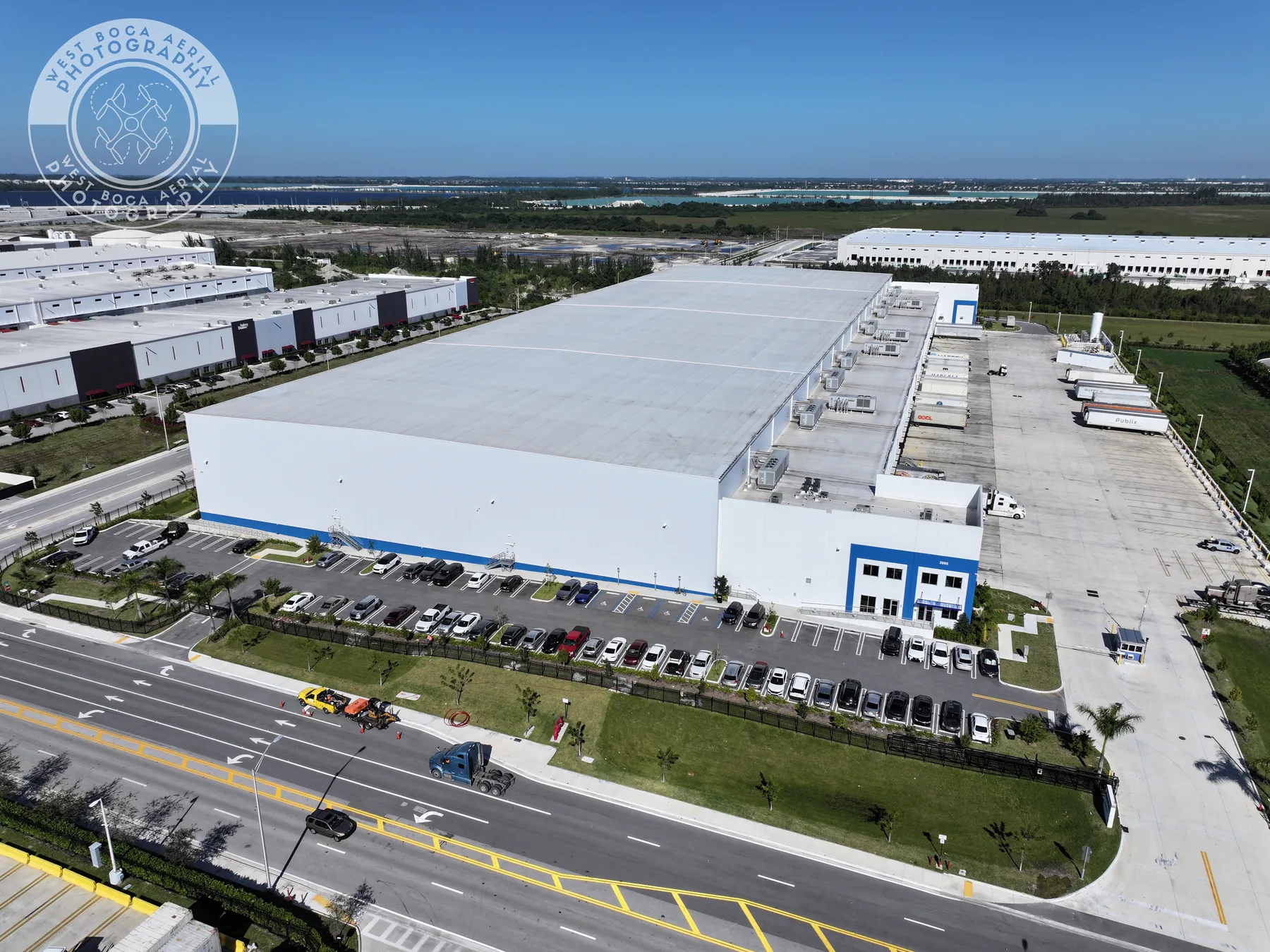
West Boca Aerial Photography plans thermal aerial coverage around the property, the visible question and the person who needs to use the results. Assignments can combine thermal capture, high-resolution photography and organized overview-to-detail views so a facilities manager, contractor or owner can move from a broad site question to a specific location for follow-up.
The practical starting point is a short brief: the site address, the reason for the review, the priority areas, access details, current activity and any available roof plan, ground photo or maintenance note. That lets the flight plan focus on the views that will matter after the aircraft has landed. The pilot credentials and project inquiry page provide a direct route to begin that conversation.
Frequently asked questions
What is aerial thermal imaging used for?
Aerial thermal imaging is used to document relative surface-temperature patterns across roofs, solar arrays, equipment and other hard-to-reach exterior areas. It can help a property team identify locations that may need a closer review and organize those views for the appropriate contractor or technician.
Can a thermal drone inspection find a roof leak?
A thermal drone inspection can show a pattern that may warrant a closer roof review, but it cannot confirm the cause of a leak or replace a qualified hands-on assessment. Weather, shade, materials and recent moisture can all affect surface temperatures, so the imagery should guide the next inspection rather than serve as a final diagnosis.
When is the best time for aerial thermal imaging?
The best timing depends on the surface, the question being investigated, recent weather, sun exposure, wind and equipment operation. Share the concern and site conditions before scheduling so the flight can be planned around a window that gives the images the best chance of being useful.
Why are visible-light photos included with thermal images?
Visible-light photos help a reviewer locate the roof section, equipment area or feature shown in the thermal image. Paired views provide both location context and the relative temperature pattern, making the record easier for a maintenance team or qualified professional to review.
Related posts
Drone Roof Inspection: What It Can and Cannot Show
A practical guide to planning aerial roof imagery, understanding its limits and getting a useful record for the next decision.
Read the guide →Drone Inspection Report: What to Ask For
A practical guide to turning aerial imagery into an organized record that helps property and project teams decide what happens next.
Read the guide →Solar Panel Thermal Inspection: What a Drone Can Show
A practical guide to planning thermal aerial coverage, reading the images responsibly and directing the right follow-up.
Read the guide →