Drone Inspection Report: What to Ask For
A practical guide to turning aerial imagery into an organized record that helps property and project teams decide what happens next.
A drone inspection report should do more than deliver attractive aerial images. It should help a property owner, facilities manager, contractor or project team understand what was captured, where it was captured and which items deserve the next conversation. That is especially important on a large roof, commercial property, construction site or piece of equipment where a close photograph without context can be hard to use.
The useful question is not, “Did the drone find a problem?” Aerial imagery can document visible conditions and make difficult areas easier to review, but it does not replace a trade professional's diagnosis, a hands-on inspection or a site safety plan. A useful report keeps those boundaries clear while giving the people who need to act a clean visual starting point.
This guide explains what to request before the flight, which details make an inspection record easier to use and how to keep observations separate from conclusions. The goal is a better handoff from aerial capture to maintenance, construction, operations or the appropriate specialist.
Begin with the decision the report needs to support
The best report starts before the drone leaves the ground. A property manager may need to compare roof conditions after a weather event. A construction team may need a dated record of exterior progress before the next phase covers it. A facilities team may need clear views of rooftop equipment, drainage paths or a specific area mentioned in a maintenance note. Those are different jobs, so they should not receive the same generic set of photos.
Write down the decision first. It might be “identify the roof areas a contractor should review,” “show the condition of a site before work begins” or “create a baseline for the next quarterly visit.” Then share any existing report, reference image, site plan, room number, roof zone or equipment label that helps the pilot locate the right area. A focused question gives the flight a useful shot list and prevents a common failure: plenty of footage with no clear link to the issue people actually need to discuss.
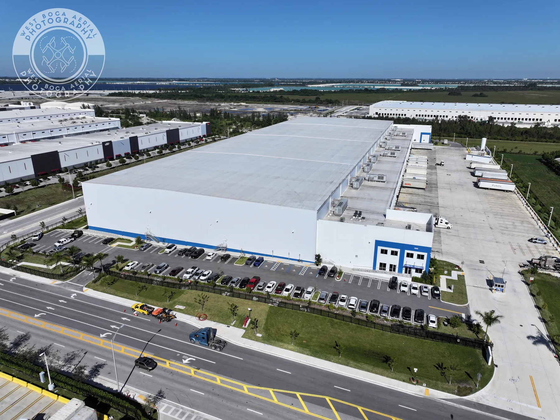
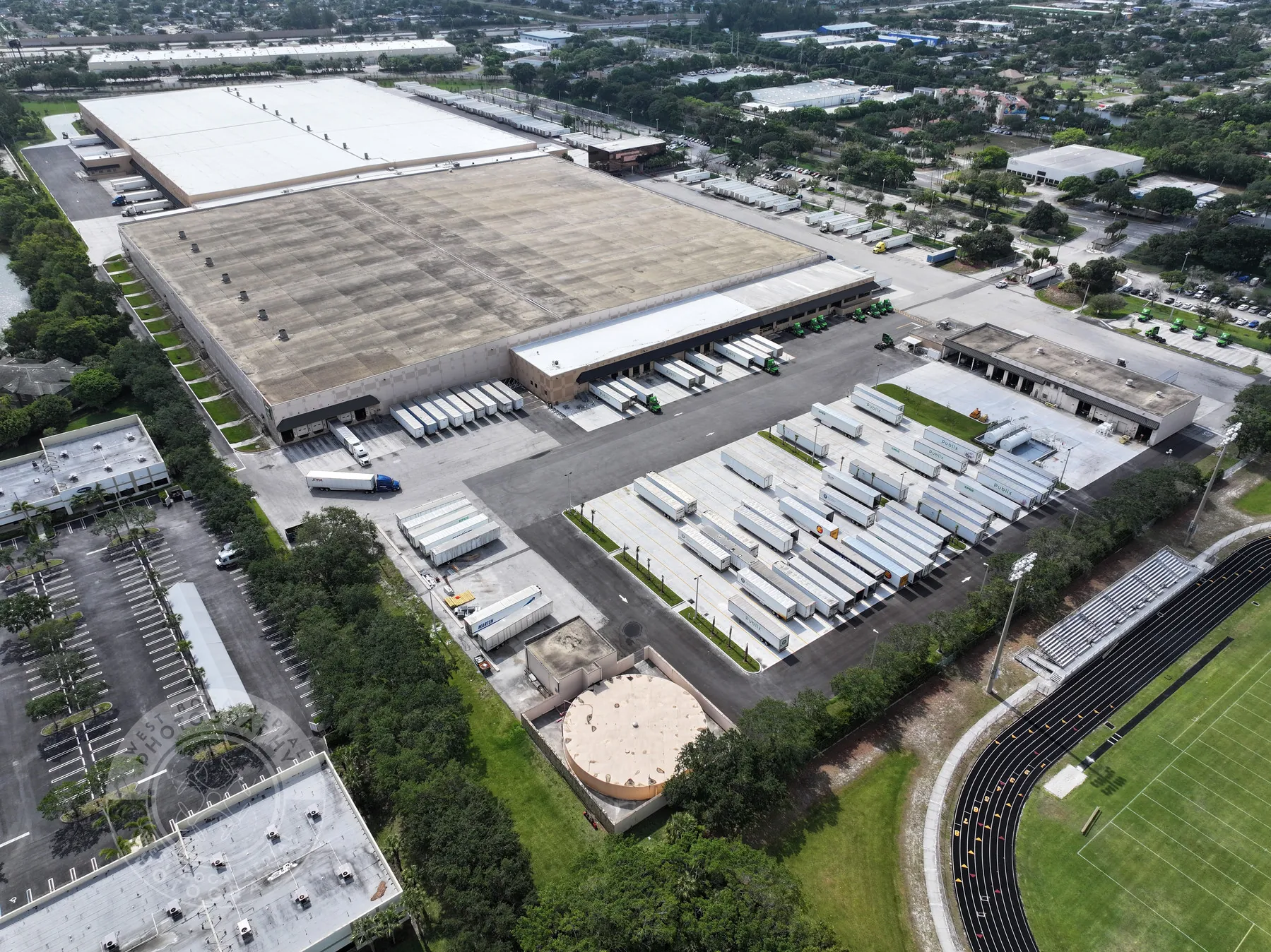
For broader property context, existing commercial inspection field work shows why a full-site view matters. A close image can be valuable, but the overview is what lets someone who was not on site find the same roof section, parking area, loading dock or equipment bank later.
Request an inspection record, not a folder of files
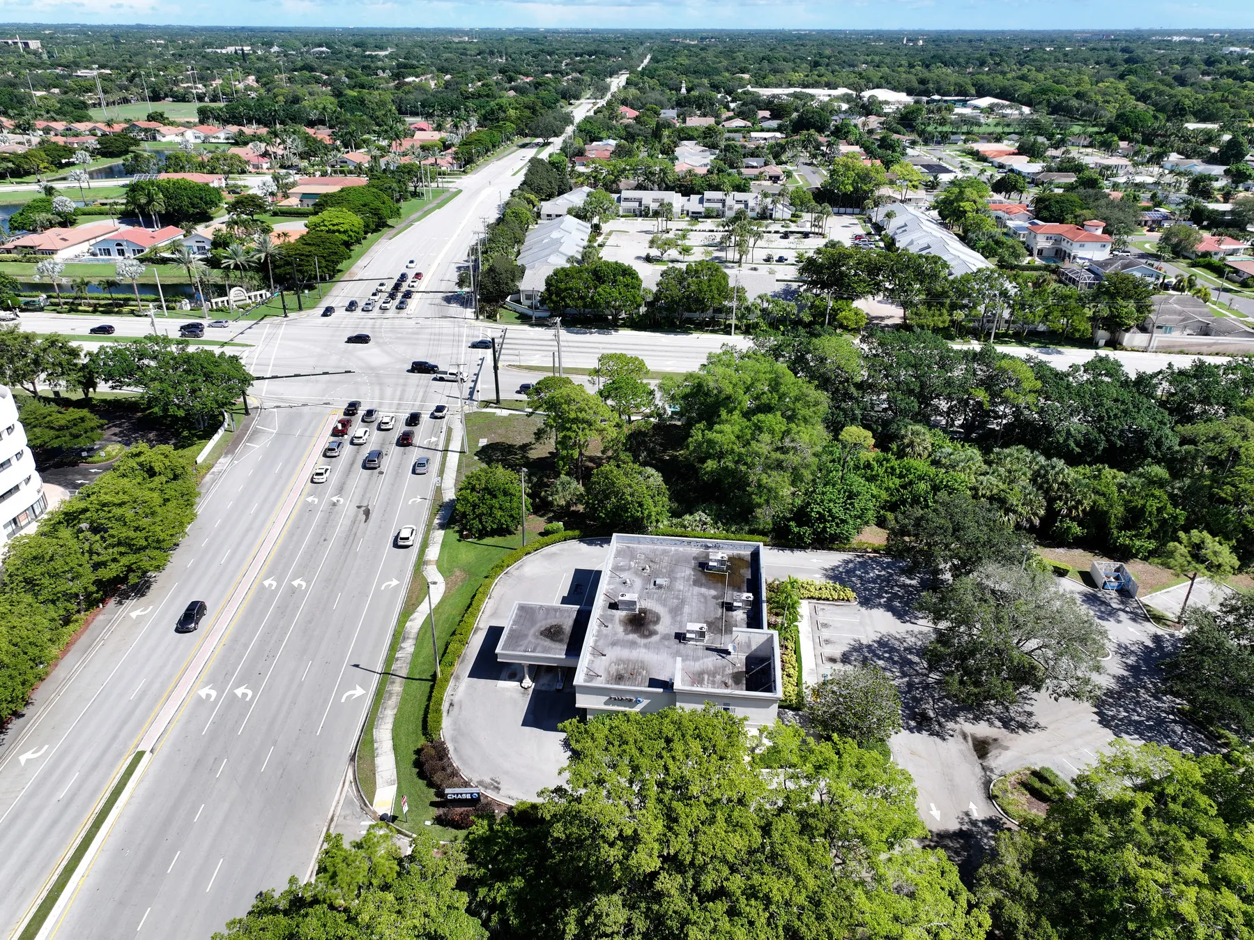
A useful drone inspection report has a simple structure. Start with a site overview that establishes orientation. Follow it with section views that divide a large roof, property or work area into understandable zones. Then include close views of the visible conditions that prompted attention. Each detail image should be easy to connect back to the larger scene.
At a minimum, ask for the site name or address, capture date, the purpose of the visit and a clear way to identify each area. That may be a roof-zone label, a north arrow, a building side, a grid reference or a short image caption. The exact format can stay simple. What matters is that a maintenance manager, contractor or owner can open the report weeks later and understand where a close image belongs without guessing.
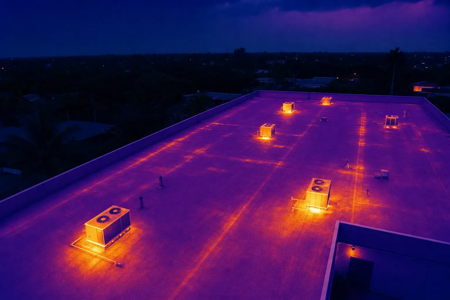
For an issue-led assignment, the record should show the observed condition in context. For example, a close image of debris, ponding water, a roof edge, a penetration, a mechanical unit or a damaged surface is much easier to use when it sits beside an overview of the relevant section. When a thermal image is included, pair it with a visible-light image from the same area whenever practical. The two views answer different questions, and together they make the follow-up conversation more grounded.
A report does not need to become a complicated engineering document to be useful. It needs organized images, clear labels and a deliberate sequence from wide context to close detail. Those small choices reduce the time people spend searching for the right view and make the record more useful for the next person who joins the project.
Use overview, section and detail images together
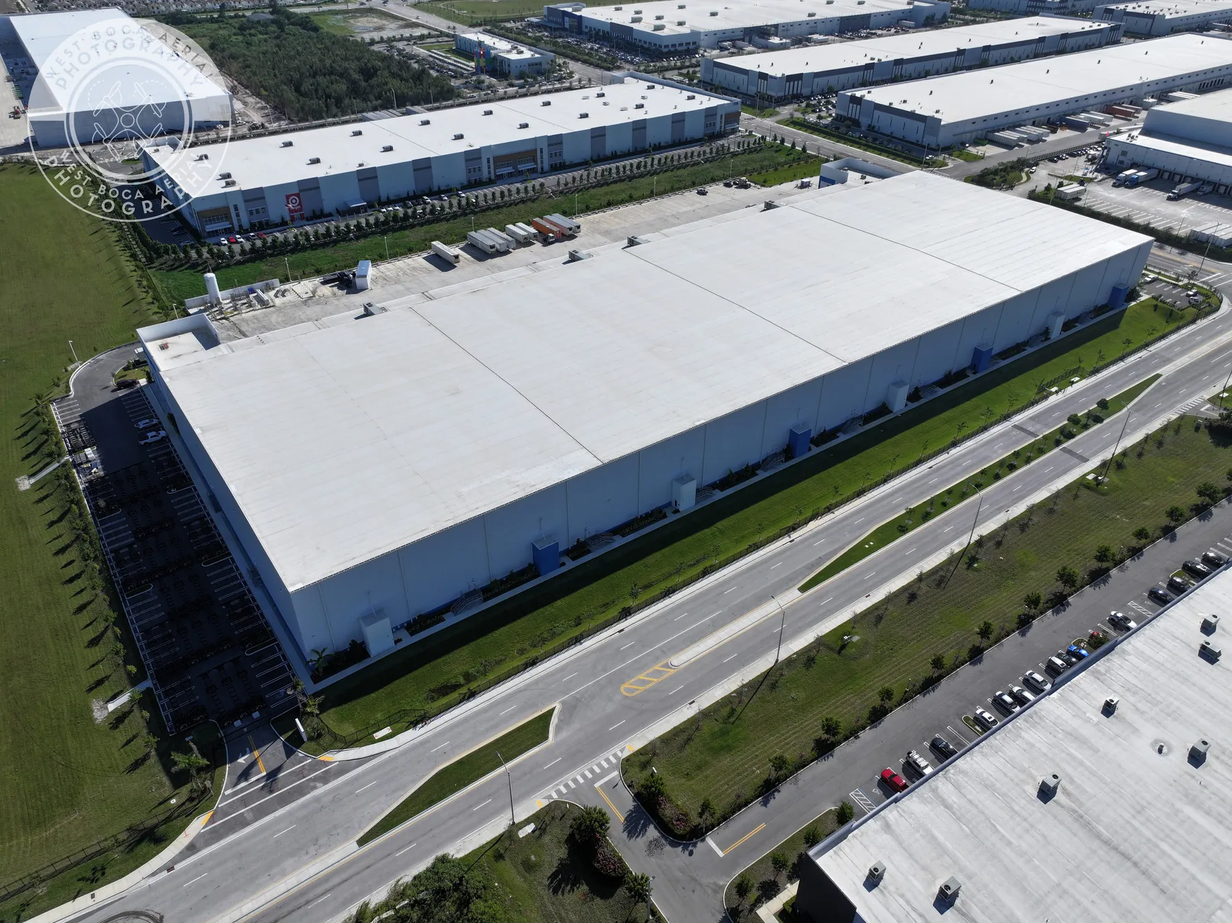
Aerial inspections work best as a visual sequence. The overview establishes the property layout and access points. Section images show the relevant roof plane, work area or equipment group. Detail images make a visible condition easier to review. Skipping the first two levels leaves a close photograph floating without location. Skipping the close level can make a broad aerial view too vague for a useful handoff.
This sequence is also valuable for repeat inspections. Use comparable overview positions from one visit to the next, then add the close views that are needed for a new concern. A property team can compare the same roof elevation, site corner or equipment zone over time without having to reconstruct the camera position from a disconnected image library.
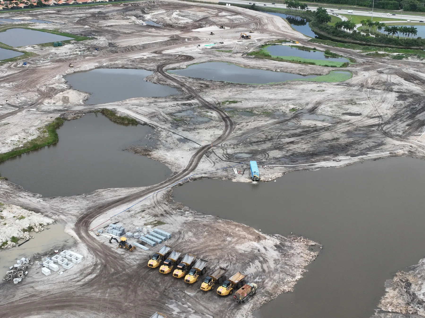
When the assignment calls for a measured overhead reference rather than perspective photography, a construction mapping capture can complement the inspection report. An orthomosaic or consistent overhead image gives teams a shared way to point to a location, while the inspection images provide the perspective and detail that a map alone cannot show.
Keep observations separate from conclusions
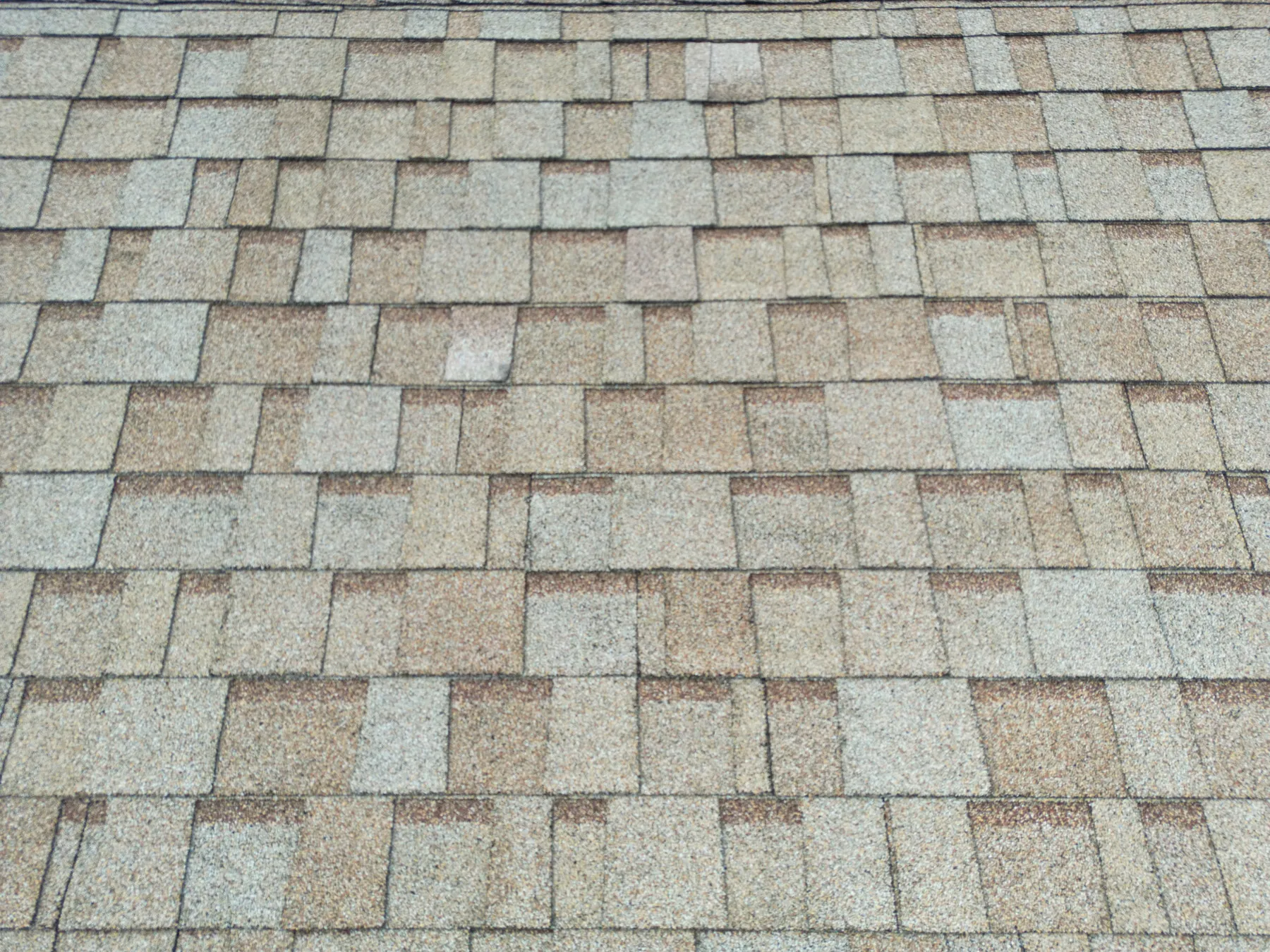
The language in an inspection report matters. Aerial imagery can document what is visible: standing water, debris, discoloration, a damaged edge, an open-looking seam, a blocked drain, unusual surface temperature or a change from an earlier image. It should not claim a hidden cause, confirm compliance, diagnose a failure or prescribe a repair when the image alone cannot prove those things.
A disciplined caption might say, “Visible debris near the northwest drain,” or “Temperature difference visible on the upper roof section, recommended for qualified review.” It should not say that a drain is failed, a roof is leaking or a piece of equipment is defective unless the person making that conclusion has completed the appropriate inspection. This distinction protects the accuracy of the record and helps the right specialist focus on the right location.
Thermal capture deserves the same care. Surface-temperature patterns can be useful screening information, but sunlight, wind, reflected heat, material type, recent weather and equipment operation can affect what the camera sees. West Boca Aerial Photography's thermal inspection capability can add valuable context, while the maintenance or trade team remains responsible for diagnosis and repair decisions.
Plan the flight around the site, not just the camera
A strong report begins with a practical flight plan. The pilot needs a safe launch and recovery area, a clear site contact, current information about vehicles and people moving through the property, active construction work, restricted areas and the views that matter most. The project team can make the visit more efficient by sharing access instructions, work hours, known hazards, site drawings and any area that should not be photographed.
Commercial operations also have real operating requirements. The Federal Aviation Administration's commercial drone guidance explains the framework for business flights. The visual-line-of-sight rule is one of the practical limits that affects pilot position, flight path and what can be captured safely from a property. Airspace conditions can also affect planning, which is why the FAA's LAANC authorization system matters for many controlled-airspace locations.
The site's own safety rules still apply. Construction and maintenance teams should identify active hazards, restricted work zones and required protective equipment before the visit. The OSHA construction standards are a useful reminder that aerial documentation supports site coordination, not a reason to bypass the site's safety process.
Build a clean review and handoff process
The report creates value when it reaches the right person quickly. Decide before the flight who receives the files, who reviews visible conditions, who evaluates thermal findings and who owns the next step. A short list of recipients and responsibilities keeps an observation from disappearing into a shared folder with no follow-up.
For recurring work, keep the naming and location system consistent. Group files by property, visit date and area. Use the same broad views when practical. Record any conditions that affected the flight, such as wind, rain, construction activity or a blocked access point. These details help the next reviewer understand why a view may be different or why a planned area was not captured.
A concise report is often easier to use than a massive unfiltered delivery. Include the complete image set when the client needs it, but add a short visual summary with the priority overview images, the relevant detail views and notes that describe what is visible. That summary gives a project manager or owner a quick starting point, while the larger archive remains available for a closer review.
How West Boca Aerial Photography helps build useful inspection records
West Boca Aerial Photography plans aerial inspection coverage around the property, the operating question and the people who will use the finished record. Assignments can include high-resolution aerial imagery, thermal capture and organized views that move from full-site context to the details that need a closer look.
For a useful flight plan, share the property address, the reason for the inspection, access details, active site conditions, any restricted areas and the decision the report needs to support. The team's pilot credentials, roof inspection work and thermal services provide a practical starting point for building the right scope.
Frequently asked questions
What should a drone inspection report include?
A useful report should include the site or property, capture date, purpose of the visit, overview images, section views and close images of the visible conditions that need attention. Each detail image should have enough context or labeling that a reviewer can identify its location later.
Can a drone inspection report diagnose a roof or equipment problem?
No. Aerial imagery can document visible conditions and help direct a qualified follow-up review, but it cannot establish a hidden cause, certify compliance or replace a hands-on assessment by the appropriate professional. The report should clearly separate what is visible from what still needs diagnosis.
Why are overview images important in an inspection report?
Overview images show where each close image belongs. They let a maintenance manager, contractor or owner connect a detail view to the correct roof section, equipment area or part of the property. They also make recurring visits easier to compare over time.
Can thermal images be included in a drone inspection report?
Yes. Thermal images can add useful surface-temperature context for roofs, solar arrays and equipment. They should be interpreted carefully because weather, sunlight, material type and operating conditions can affect the result. Pairing a thermal image with a visible-light view and a qualified follow-up process makes the record more useful.
Related posts
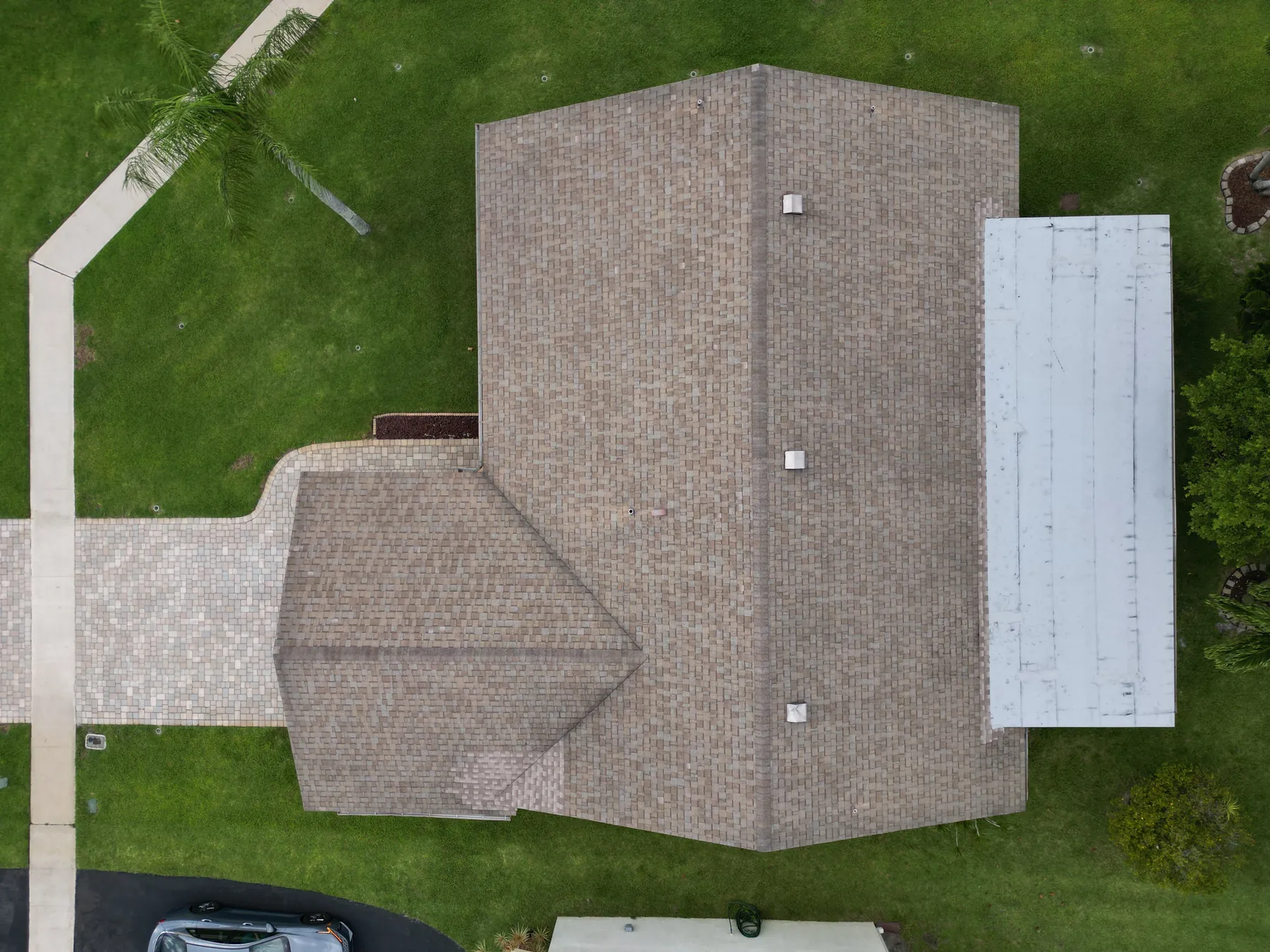
Drone Roof Inspection: What It Can and Cannot Show
A practical guide to planning aerial roof imagery, understanding its limits and getting a useful record for the next decision.
Read the guide →Solar Panel Thermal Inspection: What a Drone Can Show
A practical guide to planning thermal aerial coverage, reading the images responsibly and directing the right follow-up.
Read the guide →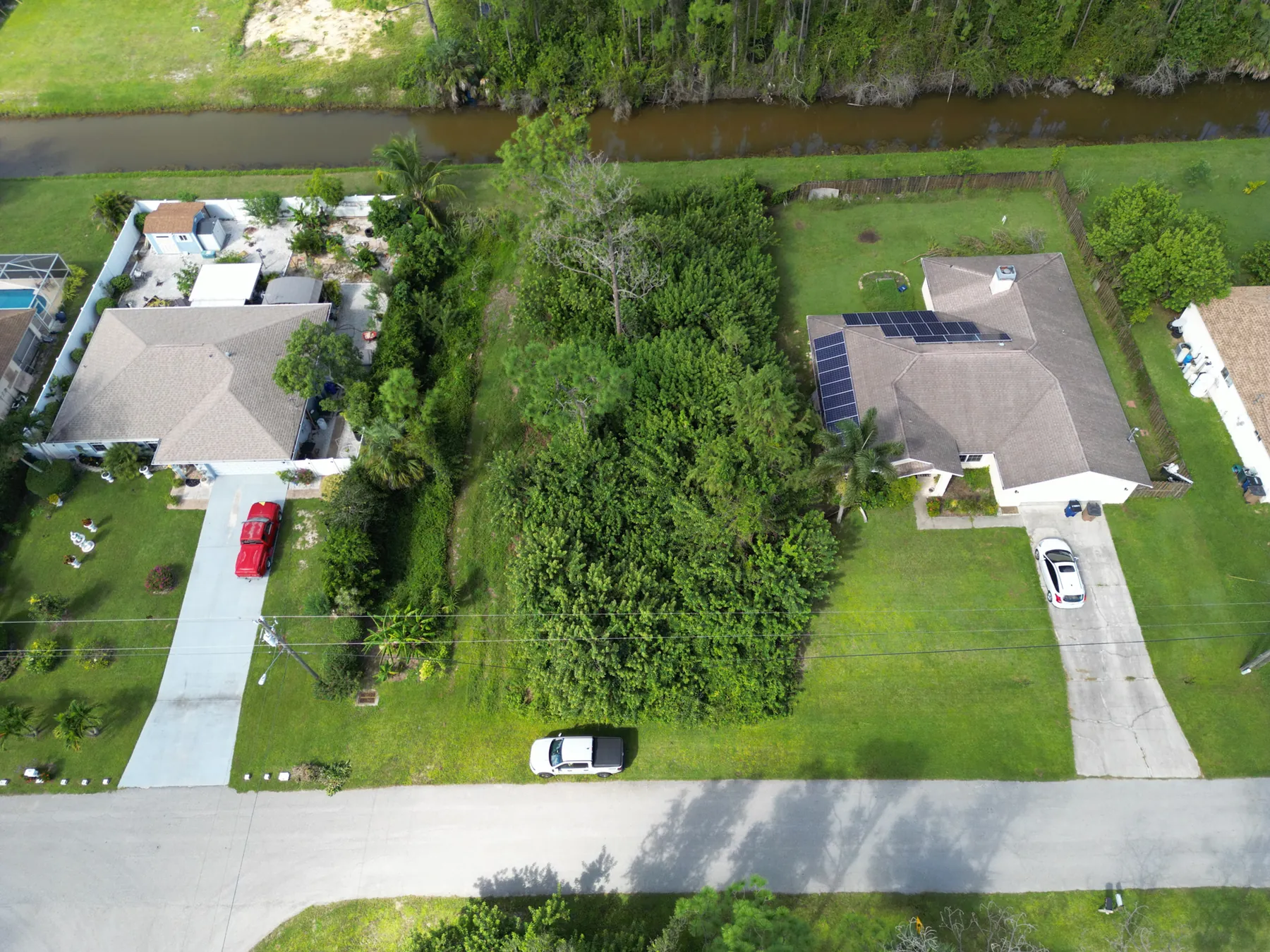
Drone Roof Inspection Cost: What Shapes the Quote
A practical guide to the site, scope and deliverables that determine the cost of a useful aerial roof inspection.
Read the guide →