Solar Panel Thermal Inspection: What a Drone Can Show
A practical guide to planning thermal aerial coverage, reading the images responsibly and directing the right follow-up.
A solar panel thermal inspection can make a large roof or array easier to review without sending someone across every surface first. The value is not a dramatic heat map on its own. It is a well-planned set of thermal and visible-light images that helps an owner, facilities team or solar contractor understand where to look next.
That distinction matters. A thermal image can show a temperature difference, but it does not diagnose the cause, prove a failed component or replace electrical testing. Conditions such as sunlight, wind, recent weather, loading, panel angle and camera setup all affect what the image shows. The most useful flights treat thermal capture as one part of an organized inspection record, then hand the right locations to the right reviewer.
Start with the question the inspection needs to answer
Before arranging a flight, decide what decision the images need to support. A property manager may need a visual record after a storm. An operations team may want to screen a large rooftop array before a maintenance visit. A buyer may need a high-level view of apparent panel condition, access routes and nearby roof equipment. A contractor may need current images to help plan a focused follow-up.
That question sets the scope. A broad site overview can show the layout of the array, roof sections, access points, parapets and obstructions. Closer thermal and visible-light views can document a particular string, row or area of concern. Without a defined question, a flight can produce a large collection of interesting images that nobody can use to make a decision.
It also helps to share any existing service notes, inverter alerts, roof plans, recent cleaning dates, known access limits and the location of a concern. Those details let the capture plan match the site instead of assuming every panel needs the same kind of review.
What thermal aerial imagery can reveal
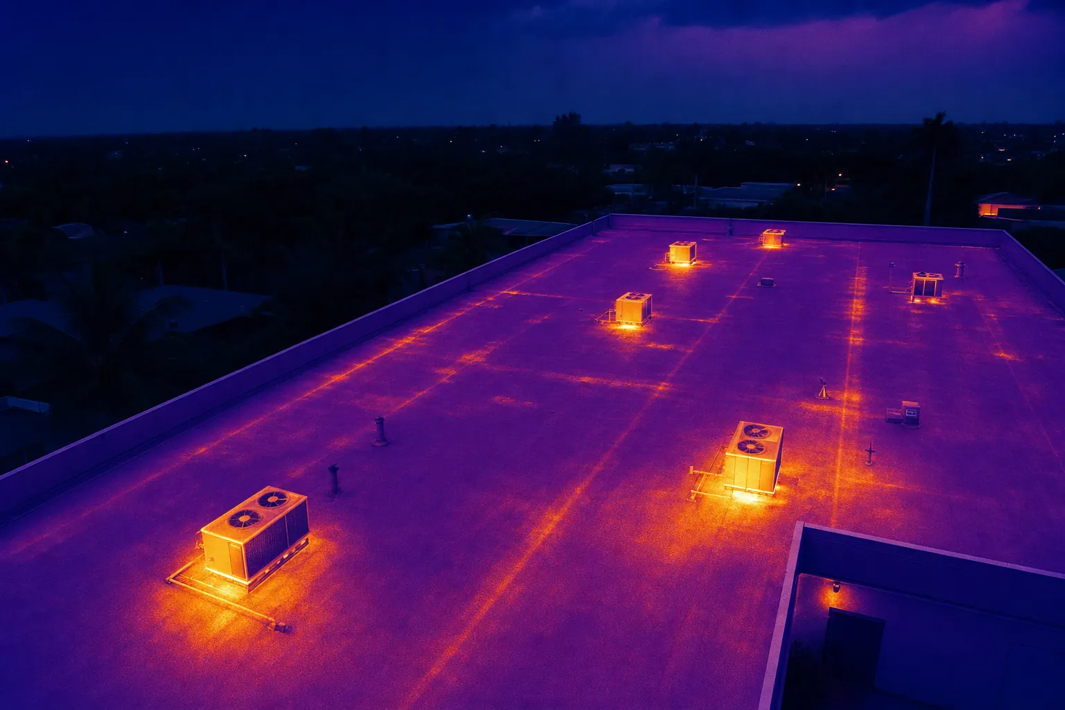
Thermal imagery records relative surface temperature patterns. When paired with a visible-light image of the same area, it can help a reviewer spot a temperature difference that deserves closer attention. Depending on the site and conditions, that may include an area that appears warmer or cooler than nearby panels, a pattern across several modules, shading from a nearby object, debris, standing water near rooftop equipment or a location where the array should be examined on foot.
The useful unit of information is not simply a colored image. It is a location-aware observation: which roof section or array row is shown, the direction of view, the time of capture, the weather conditions, the visible-light reference and the reason the area stood out. That context makes it easier for a technician to find the same place later.
For a quick foundation on how photovoltaic systems turn sunlight into electricity, the U.S. Department of Energy explains the basics of solar photovoltaic technology. Thermal images are most useful when they are interpreted alongside that system context, rather than treated as a standalone verdict.
What a thermal image cannot prove
A temperature variation is an observation, not a repair diagnosis. It may be associated with a panel, connection, bypass diode, soiling pattern, shading condition or another factor, but the image alone cannot confirm the electrical root cause. A thermal flight also cannot certify system performance, establish code compliance, verify a warranty claim or replace a qualified electrical assessment.
The same caution applies to clear-looking images. An array can appear uniform from the air and still have an issue that requires production data, electrical testing or a closer physical inspection. The responsible conclusion is simple: use the imagery to prioritize where to investigate, then let the appropriate technician determine what the condition means.
This is why a good delivery labels visible conditions plainly. "Warmer area near the west edge of the array" is more useful and more honest than "failed panel." It directs attention without overstating what the flight can establish.
Plan the flight around operating and weather conditions
Thermal results depend on circumstances. An array needs a meaningful temperature pattern to review, and changing cloud cover, wind, recent rain, shade and the system operating state can affect that pattern. The system owner or maintenance team should help select a flight window that fits the reason for the inspection and avoids confusing results.
A practical preflight checklist includes the site address, array layout, access point, roof rules, safe takeoff and landing space, active work, recent cleaning, recent weather, areas that should not be photographed and the point of contact who can answer questions on site. For repeatable reviews, record the time of day, weather notes and basic camera approach so the next visit can be compared fairly.
Commercial drone operations also require an appropriately planned flight. The FAA's commercial drone guidance explains the baseline operating framework, while the federal visual-line-of-sight rule requires the aircraft to remain visible to the remote pilot or visual observer during the operation. A pilot should consider airspace, people, rooftop hazards and the site's own access requirements before the inspection begins.
Ask for visible-light and thermal images together
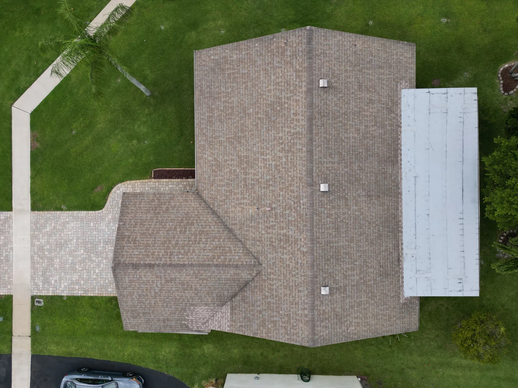
Thermal and visible-light views work best as a pair. The thermal frame shows where a pattern may deserve attention. The visible frame shows the physical context: a row of modules, a vent casting shade, debris, roof equipment, a nearby wall or another feature that changes how the image should be read.
Request broad context images first, then closer matching pairs for the locations that matter. For a large array, that may mean a roof overview, a grid of section views and a short set of closer images for exceptions. For a smaller rooftop system, it may mean a complete array overview plus clear views of each concern. The right amount of detail depends on who will use the record next.
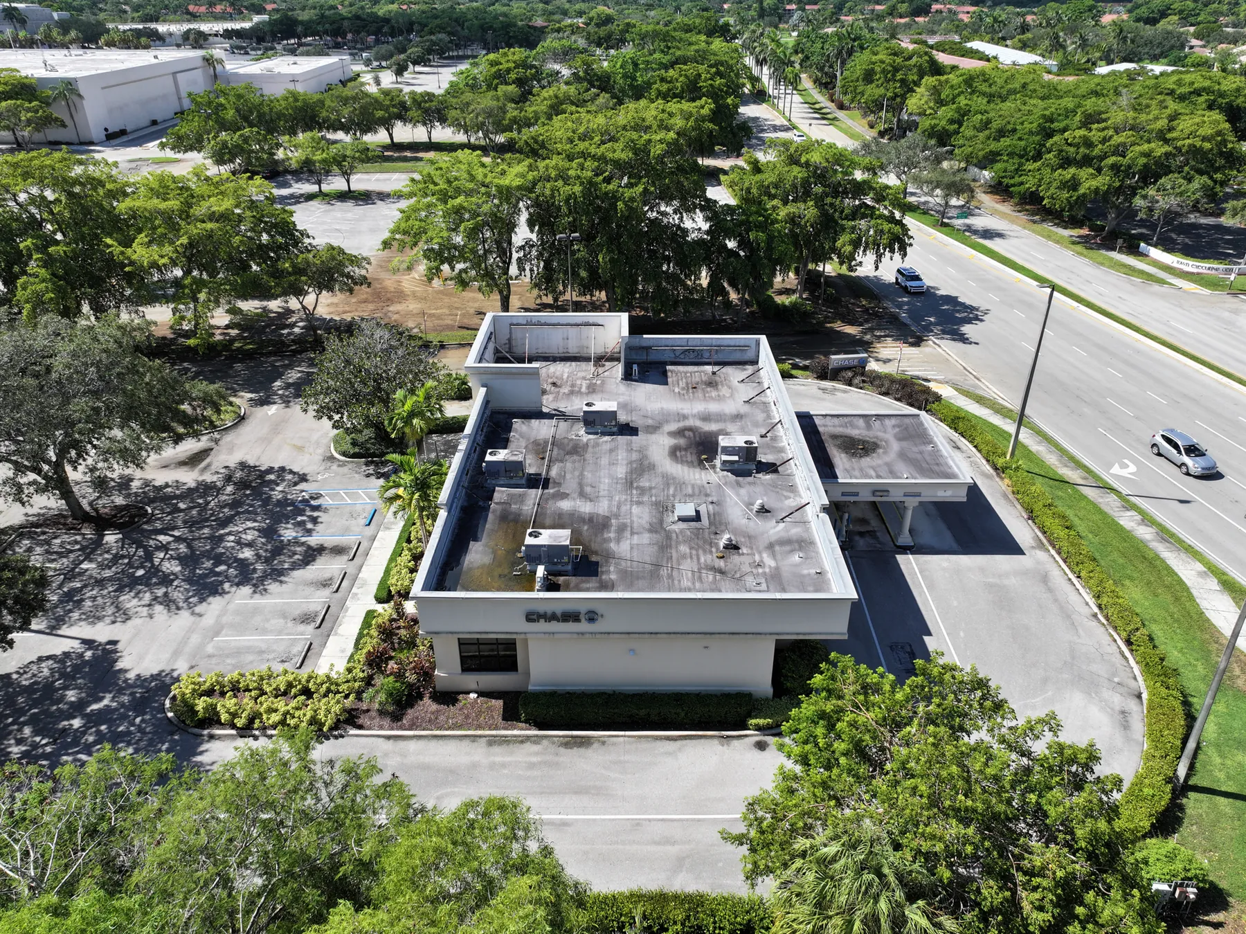
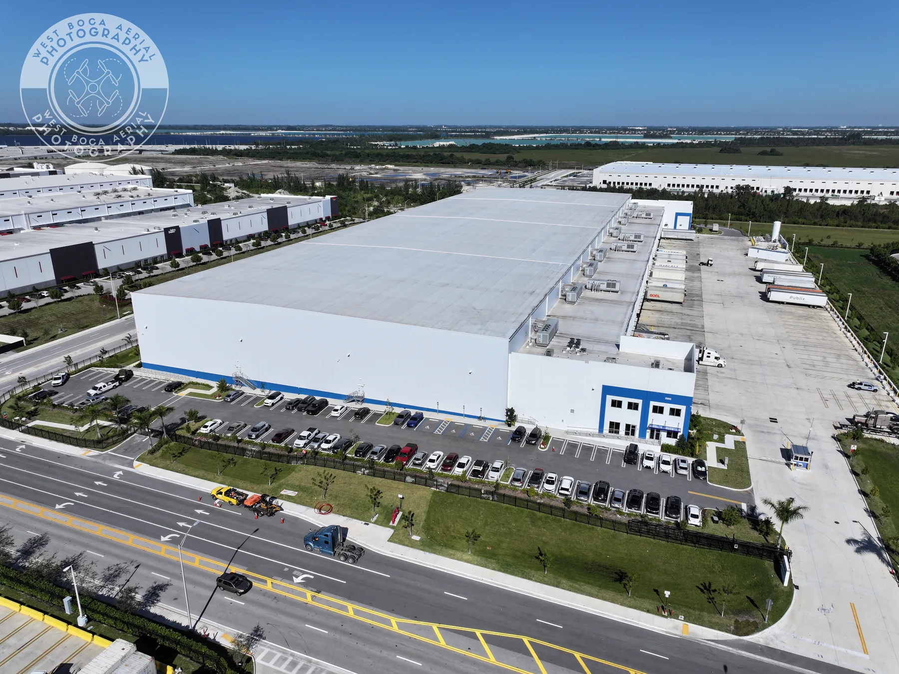
The company's roof inspection field work shows why context matters on a commercial roof. A close image may reveal an apparent issue, but a wider view is what helps a reviewer understand where it sits relative to access, equipment and the rest of the roof.
Make the report easy to hand off
A useful solar inspection delivery is organized for someone who was not on the flight. Group files by site and date. Name each image or report section by roof area, array row or reference point. Include a simple site overview that identifies the areas covered, then pair thermal and visible-light images for the observations that need follow-up.
A short observation list can make the handoff faster. Each entry should identify the location, show the image pair, describe what is visible, note relevant conditions and name the next action. The next action might be “review with maintenance team,” “compare with production data,” “inspect on foot” or “retain as baseline record.” It should not leap to a cause that the image cannot confirm.
Teams that need a broader site record can combine the inspection with construction and mapping coverage. A planned aerial overview can add useful site context when the solar array sits among multiple roofs, buildings, parking areas or active work zones.
Avoid the common mistakes that weaken a thermal review
The most common mistake is treating every temperature difference as a defect. Rooftops contain vents, curbs, mechanical equipment, reflective surfaces, shade lines and changing materials that can affect what the camera records. A reviewer needs the visible-light image, a clear location and the site conditions before deciding whether a pattern is meaningful.
Another mistake is capturing only isolated closeups. A close thermal image may look compelling, but it can be impossible to locate later without an overview. Start with the whole roof or array, then work toward section views and details. That simple sequence creates a visual trail from the site entrance to the exact location a technician should review.
Finally, do not compare visits as though they were laboratory measurements when the conditions changed substantially. If one flight happened under clear, stable conditions and the next occurred after rain, strong wind or different system loading, the images may not be directly comparable. Note the conditions, keep the flight approach consistent where practical and use the records to guide a qualified review rather than to make unsupported performance claims.
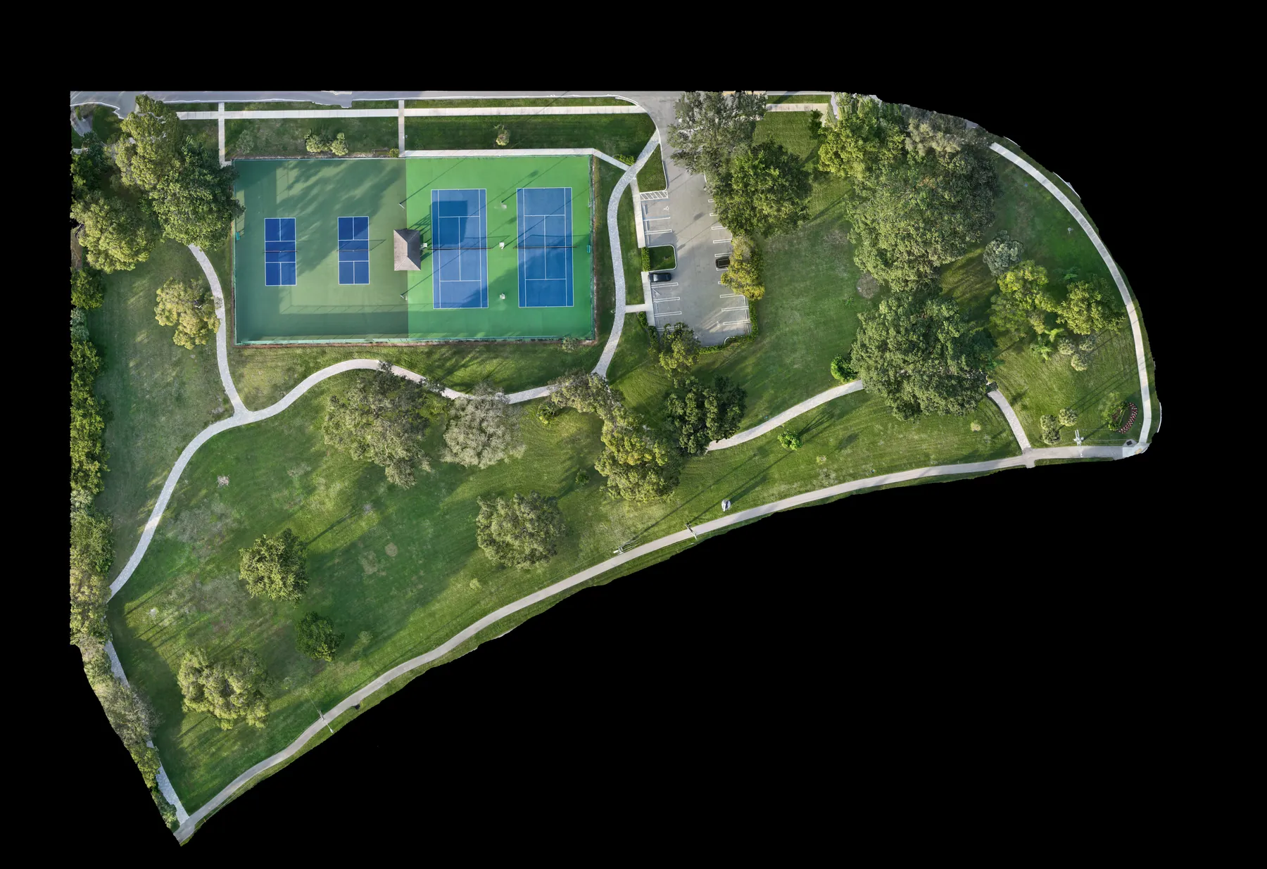
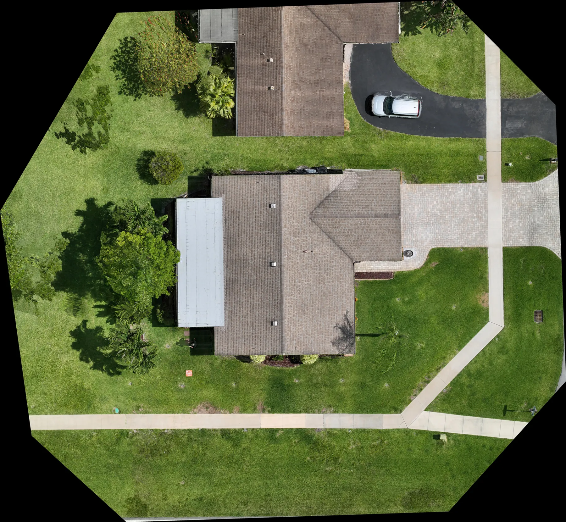
A well-organized aerial base map can help teams keep those locations straight across a larger property. The orthomosaic field work shows how a single overhead reference can make a site easier to discuss before the closer inspection images are opened.
Use repeat visits to create a better baseline
One flight can answer an immediate question, but repeatable coverage is where an organized record becomes more valuable. Returning to the same broad viewpoints, collecting similar thermal and visible-light pairs and noting the operating conditions gives the owner a clearer baseline over time.
That does not mean every site needs frequent flights. A sensible schedule depends on the size of the system, the site environment, maintenance activity, weather exposure and the decisions the owner needs to make. A property team may use aerial documentation after a significant event. An operations team may prefer a planned seasonal or annual review. The key is to make the timing purposeful and the records comparable.
When a repeat visit is planned, bring the prior record to the preflight conversation. It helps the pilot recreate the coverage and helps the reviewer distinguish a new pattern from one that was already known.
How West Boca Aerial Photography helps
West Boca Aerial Photography provides visible and thermal aerial capture for roofs, solar arrays and commercial properties. Each assignment is planned around the site, the question being asked and the people who need to review the images afterward. The goal is an organized visual record that makes the next conversation more specific.
For a planned visit, share the site address, array type, reason for the inspection, access details, active hazards and any views that need to be repeated. You can review the thermal inspection service, see the company's pilot credentials or request a flight plan with the project details.
Frequently asked questions
What can a solar panel thermal inspection find?
A thermal drone flight can document relative temperature differences and visible conditions that may deserve follow-up, such as a pattern across modules, shading, debris or an area that appears different from nearby panels. The images help direct attention, but they do not confirm electrical root cause or replace a qualified technician's assessment.
Do solar panels need to be operating during a thermal drone inspection?
The operating state and weather conditions matter because they affect the temperature patterns the camera records. Coordinate the flight with the system owner or maintenance team, and share recent weather, cleaning, production and access information so the inspection can be timed appropriately.
Can a thermal drone image diagnose a failed solar panel?
No. A thermal image is an observation that may help a technician decide where to investigate. Electrical testing, production data and a closer assessment are needed to determine the cause of a condition and the appropriate repair.
What should be included in a thermal solar inspection report?
A useful report includes a site overview, clear locations for the areas shown, matched visible-light and thermal images, capture conditions, plain-language observations and a practical next step for each item. This makes the record easier to hand to a facilities manager, contractor or maintenance technician.
Related posts
Drone Roof Inspection: What It Can and Cannot Show
A practical guide to planning aerial roof imagery, understanding its limits and getting a useful record for the next decision.
Read the guide →Drone Inspection Report: What to Ask For
A practical guide to turning aerial imagery into an organized record that helps property and project teams decide what happens next.
Read the guide →
Drone Roof Inspection Cost: What Shapes the Quote
A practical guide to the site, scope and deliverables that determine the cost of a useful aerial roof inspection.
Read the guide →