Drone Building Inspection: What Aerial Imaging Can Document
A practical guide to using aerial imagery to document roofs, facades, equipment and site context before the next property decision.
A drone building inspection can give a property team a clearer view of exterior conditions that are difficult to see from the ground. That may include a broad roof layout, upper facade details, rooftop equipment, gutters, drainage paths, exterior lighting, parking areas or the relationship between a building and its surrounding site. The value is not simply height. It is the ability to document the right views in a sequence that another person can understand later.
The best use of aerial imagery starts with a practical question. A facilities manager may need a current record before maintenance planning. A buyer may need visual context for due diligence. A contractor may need help locating a visible condition before sending a crew to investigate. A project manager may need an organized baseline after a weather event or before work begins. The flight plan, images and final delivery should all be built around that decision.
What a drone building inspection can show
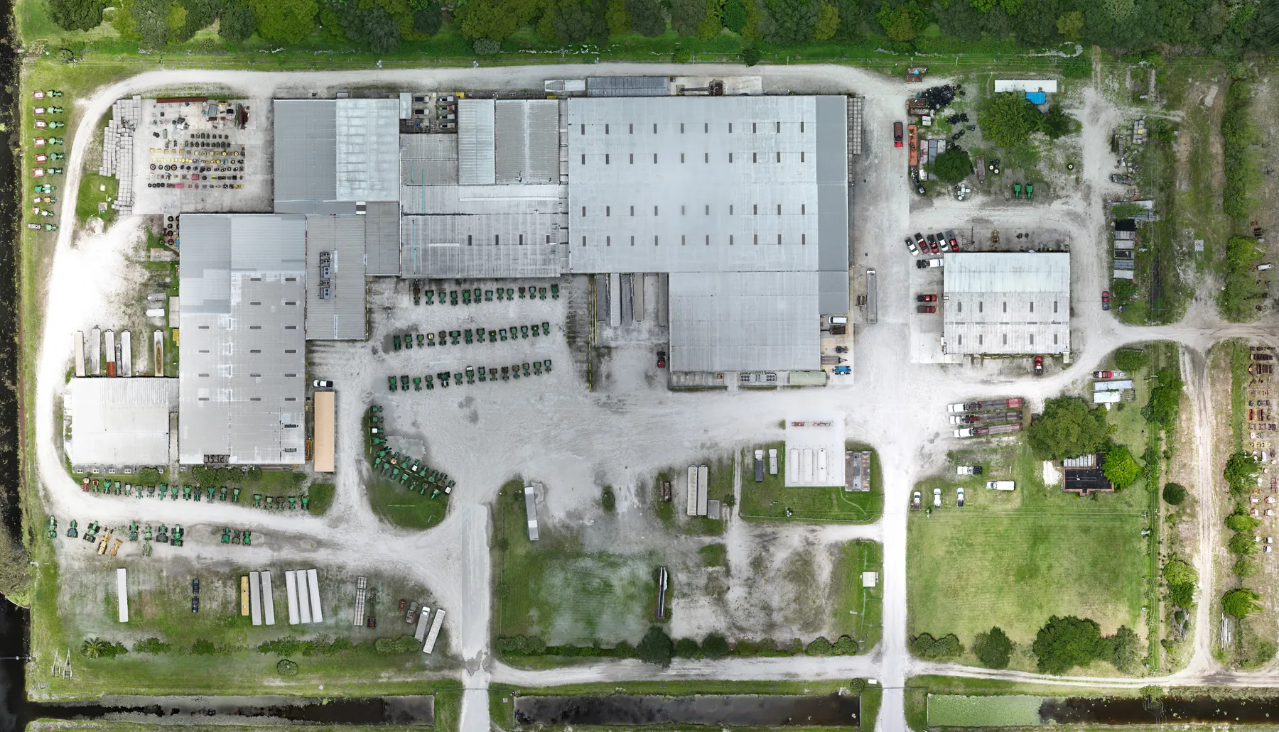
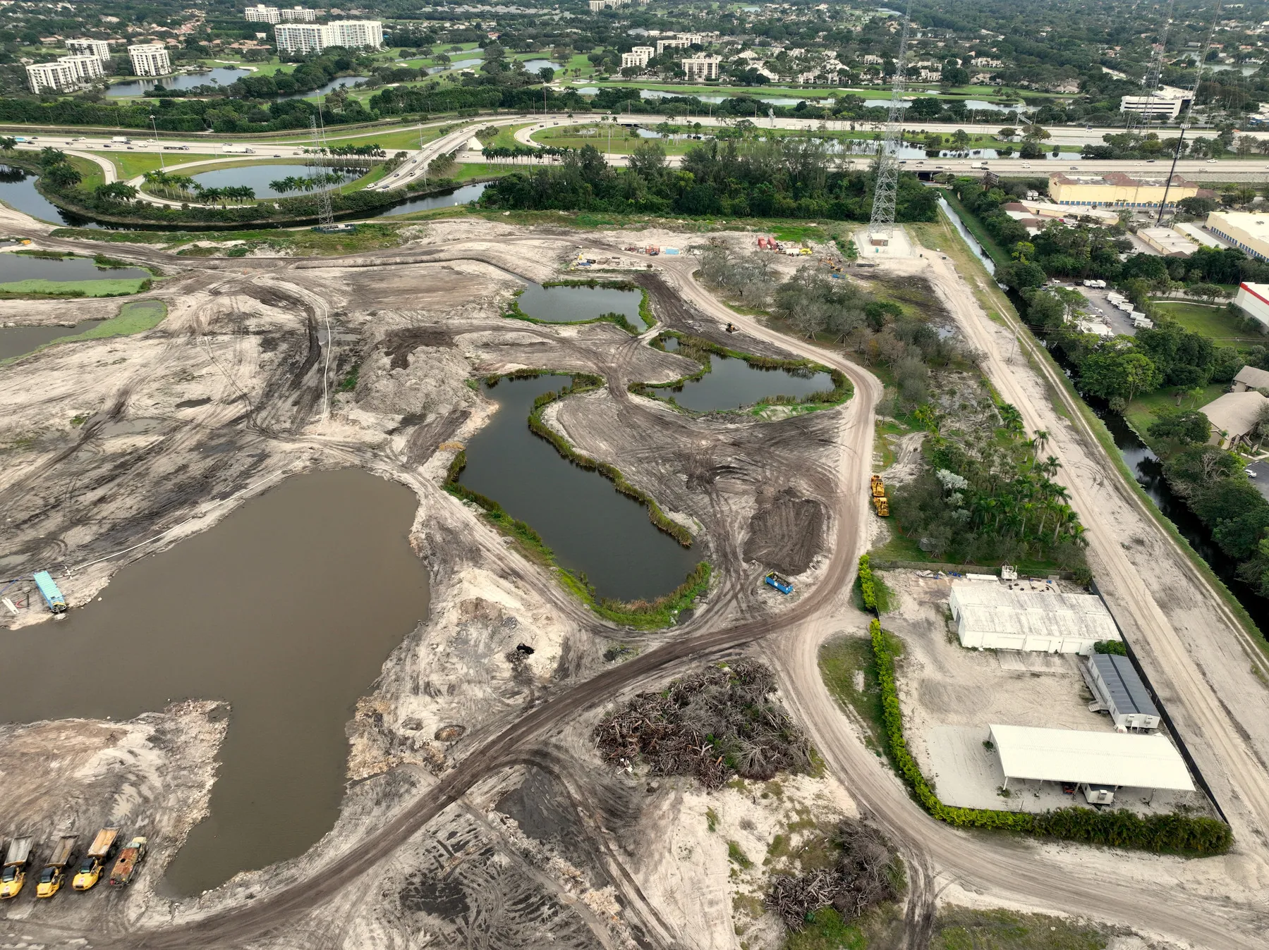
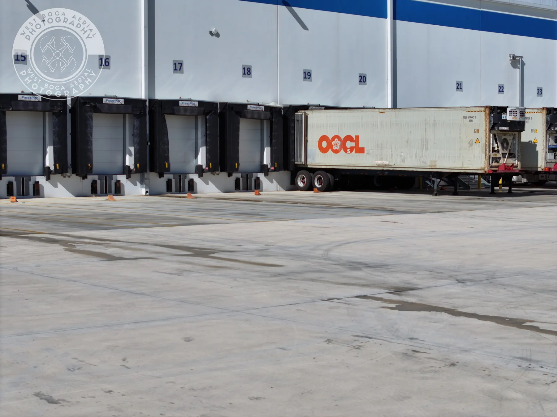
Aerial imagery is particularly useful for exterior areas that are elevated, spread across a large site or difficult to understand from one ground-level position. On a commercial property, a planned flight can show roof sections, parapet walls, flashing, skylights, drains, vents, mechanical units, facade transitions, exterior signs, loading areas, site circulation and nearby tree cover. On a campus or multi-building property, the wide view helps the team see how each condition relates to the rest of the site.
The right image set moves from orientation to detail. Begin with a full-property overview, then document each building side or roof zone, and only then move into closer views of the areas that need attention. This gives a contractor or maintenance team a clear route from the address to the specific feature. It is more useful than a collection of isolated closeups that look dramatic but cannot be located without guesswork.
For a focused roof assignment, the drone roof inspection guide explains the visible conditions aerial imagery can document and the limits it should respect.
Use aerial capture to document visible conditions, not diagnose them
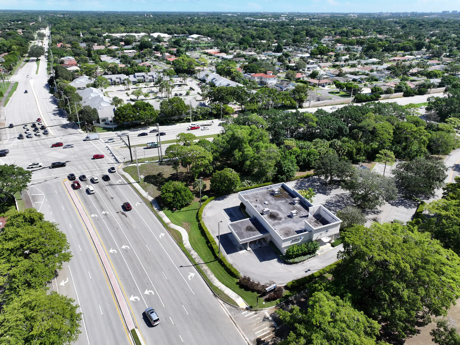
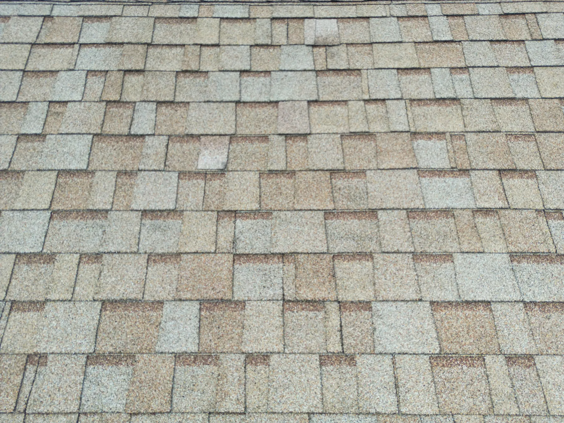
A drone can document what is visible: standing water, loose debris, staining, a damaged edge, a displaced component, an access concern or an area that appears different from the surrounding surface. It cannot tell a property owner the cause of a leak, confirm structural integrity, certify code compliance, determine electrical root cause or replace a qualified hands-on assessment. That distinction matters most when the images will be used in a maintenance, insurance or purchase conversation.
A useful delivery uses careful language. It identifies where a condition appears, shows the broad context and states the visible observation without making a conclusion the image cannot support. That gives the right professional a quicker starting point while keeping the record credible. The drone inspection report guide covers the labels, image pairs and location references that make that handoff easier.
Choose the right coverage for the building
Not every property needs the same aerial coverage. A single-story warehouse may need roof-zone overviews, drainage context and selected equipment views. A taller building may need a planned facade sequence that shows elevations, corners, roof edges and upper features that are difficult to photograph safely from the ground. A retail center may need building views alongside signage, delivery access, parking circulation and exterior lighting context.
Start by naming the decision and the priority areas. Share a site address, roof plan, recent ground photos, maintenance note or prior report when one exists. Those references help the pilot determine whether the assignment needs a broad property record, a targeted condition review, repeat views for comparison or a combination of those approaches. A defined priority list keeps the work centered on what the team needs to resolve after the flight.
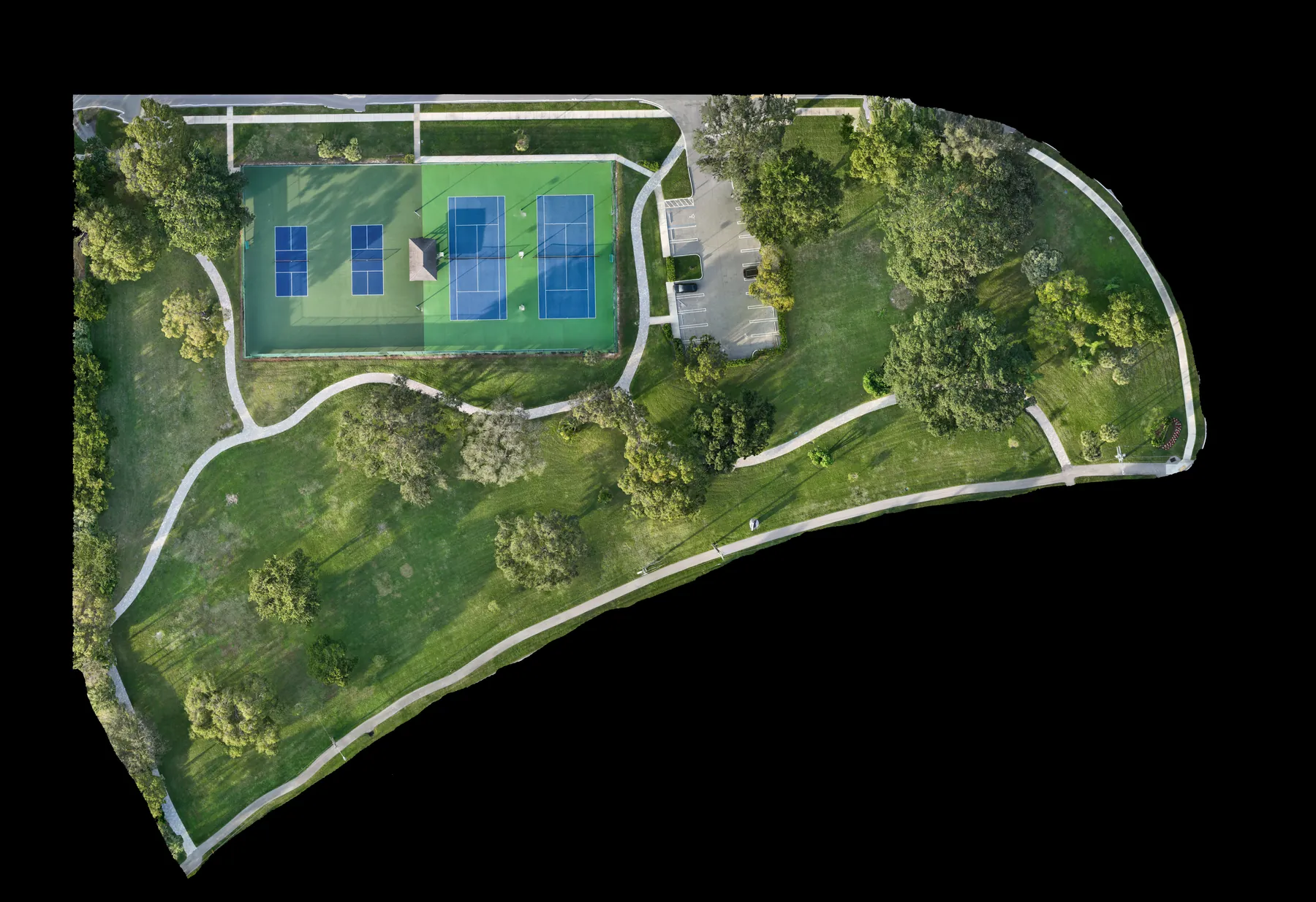
When the project needs a measured overhead reference instead of perspective imagery, construction and mapping coverage can add an orthomosaic or consistent site overview for a different kind of review.
Plan the flight around access, activity and airspace
A building inspection flight begins with conditions on the ground. The site needs a safe launch and recovery area, a clear contact, access instructions and information about active work, deliveries, people, vehicles, sensitive areas and temporary hazards. Those details affect what can be captured safely and how long the assignment takes. They also prevent a flight from becoming a disruption to the property or its tenants.
Commercial drone work in the United States is governed by the Federal Aviation Administration's commercial-operator requirements. The pilot must plan for applicable operating rules and airspace, rather than treating a building as automatically available to fly around. Controlled airspace can require authorization, and weather or site activity may change the safest capture window. A careful plan leaves room to adjust the route while protecting the priority views.
Pair wide, medium and close views
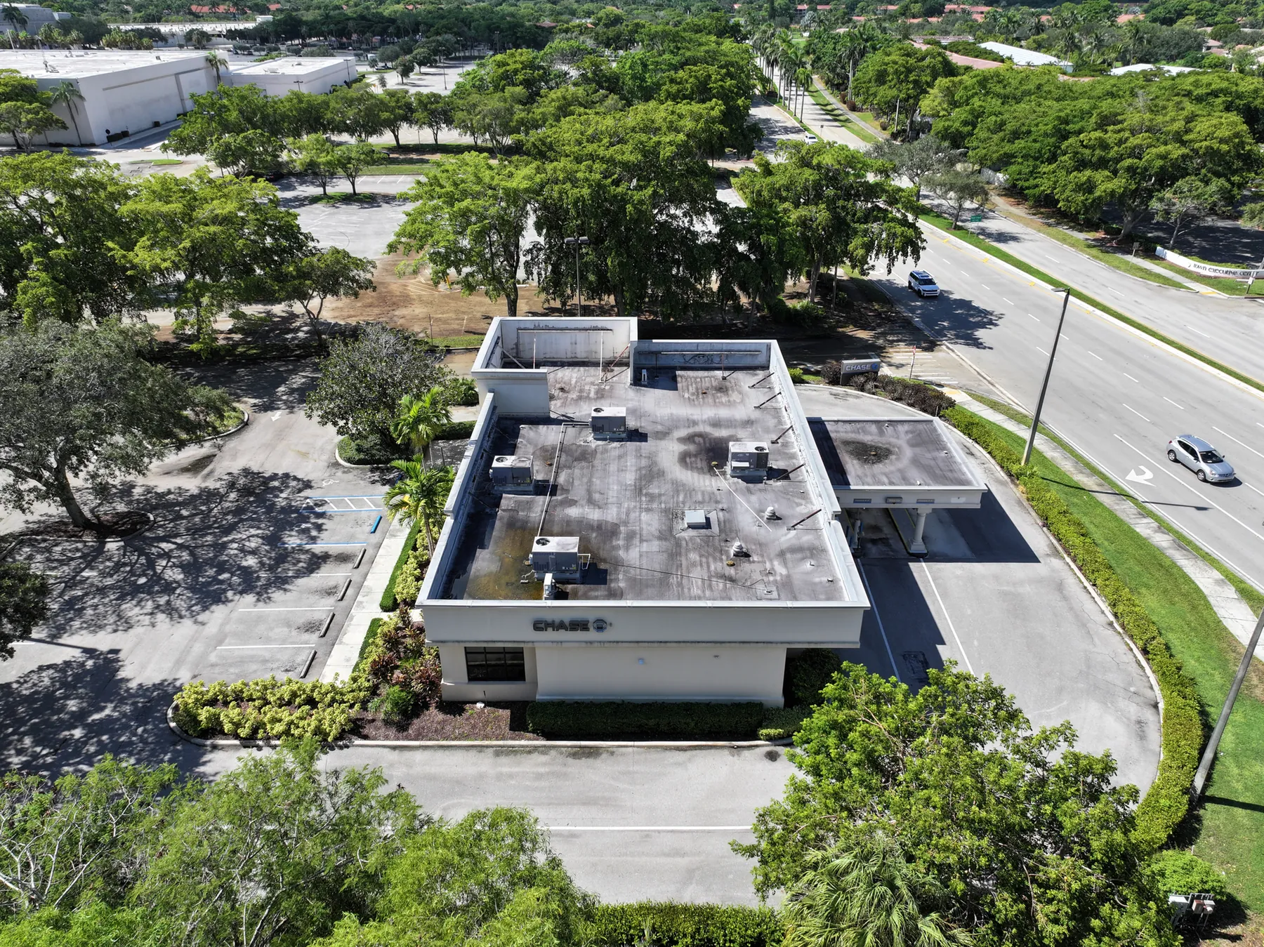
A broad overhead image provides orientation. Medium-height views show how a roof area, facade feature or piece of equipment relates to the building. Close views make the visible condition easier to review. Together, those three distances create a visual trail that a person who was not present can follow. The same approach is useful for a roof drain, upper facade detail, rooftop unit, retaining wall or loading area.
This sequence also makes repeat coverage more useful. When a property team needs to compare a condition over time, the broad and medium views can be recreated from similar positions before the pilot documents new details. A consistent baseline is far more useful than unrelated flights captured from different heights and directions. It turns aerial imagery into a record the team can use over several maintenance cycles.
Know when thermal imagery adds value
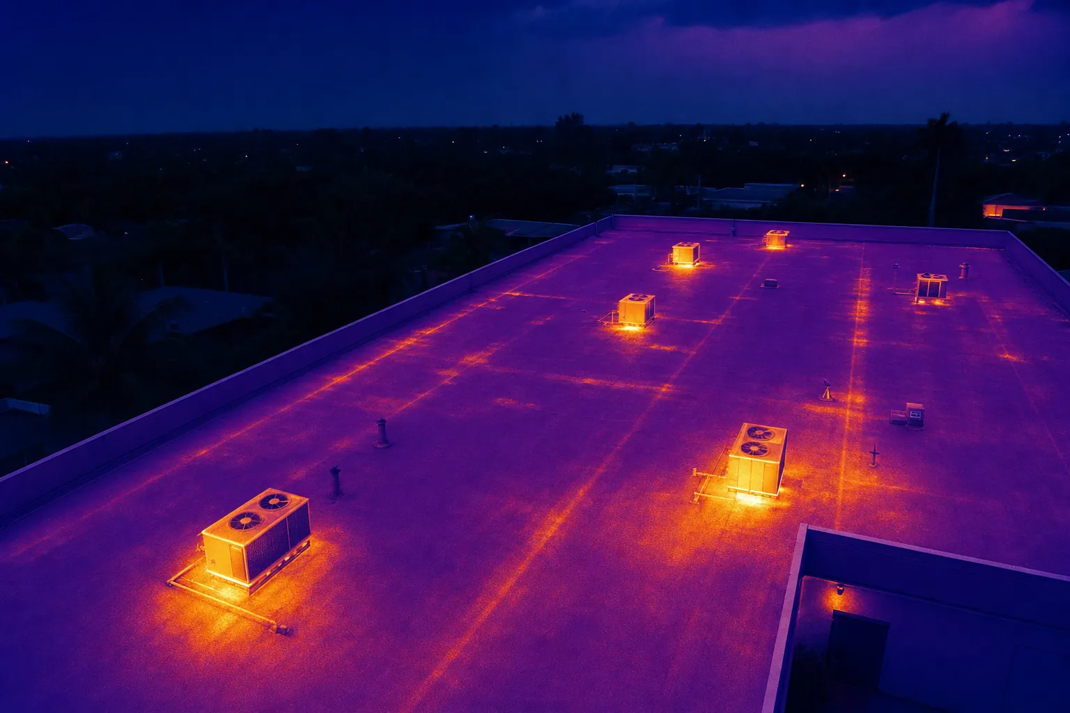
Visible-light images show what the building surface looks like. Thermal imagery shows relative surface-temperature patterns. That additional layer can be useful for a roof, equipment, electrical area or solar array when the property team has a specific reason to screen for a pattern that may deserve closer attention. It is most useful when the site conditions, timing and next reviewer have been considered before the flight.
A temperature difference is not a diagnosis. Sun exposure, shade, wind, reflected heat, recent rain, surface material and equipment operation can all influence what the camera records. The image should be paired with a visible-light view and clear location context, then used to guide the appropriate follow-up. The thermal inspection service is designed around that disciplined approach to capture and handoff.
Make the final delivery useful after the flight
An aerial inspection is most valuable when the next person can find the image they need without being on the property. Ask for the files to be organized by site, date, building, roof section or another clear reference. Where a visible condition needs follow-up, include an overview image that establishes its location before the closer view. A short observation note can describe what is visible and suggest the next practical action, such as review with the maintenance team or inspect on foot.
Decide who needs the finished record before the visit. A facilities manager may need a complete image library. An owner may want a concise summary. A contractor may need selected views with location context. A buyer may need a dated baseline for a due-diligence conversation. Defining the audience early prevents a common failure: a technically good flight that produces files nobody can use quickly.
The company's commercial inspection field work shows how roof, building and site context can sit together in one organized aerial record.
When a drone building inspection is the right first step
Aerial coverage is a strong first step when the property team needs to understand an exterior condition before deciding who should inspect it more closely. It can be useful after a weather event, before a maintenance-planning meeting, during a property transaction, ahead of a roof or facade project, when a building has difficult access or when several stakeholders need to review the same condition without sending everyone onto the roof.
It is not the right tool for every question. Interior conditions, concealed damage, material testing, code certification and repair design require the appropriate trade professional and may require direct access. Aerial imagery is most effective when it helps that professional arrive better informed, with a clear location and a better sense of what they need to investigate.
How West Boca Aerial Photography helps
West Boca Aerial Photography plans commercial building inspection coverage around the property, the visible questions that matter and the people who need to review the results. Assignments can combine high-resolution aerial photography, thermal capture and organized views that show both the whole site and the areas that need closer attention.
For a project-specific flight plan, share the site address, building type, reason for the review, access details, active conditions and any reference images. The team's pilot credentials, thermal capability and project enquiry path provide a practical starting point.
Frequently asked questions
What can a drone building inspection inspect?
A drone can document visible exterior conditions on roofs, facades, rooftop equipment, gutters, drains, signs, parking areas and other hard-to-reach parts of a property. It is especially useful for giving those details location context within the larger building or site.
Can a drone building inspection replace a physical inspection?
No. Aerial imagery can help a property team screen and document visible conditions, but it cannot inspect concealed areas, test materials, confirm a diagnosis or replace the judgment of a qualified roofing, building-envelope, electrical or maintenance professional.
What should I provide before a drone building inspection?
Provide the site address, a primary contact, access instructions, active hazards, restricted areas and the question the images need to answer. A roof plan, recent ground photos, maintenance note or reference image is also useful when the goal is to document a known area of concern.
When is thermal drone imaging useful for a building?
Thermal imagery can add relative surface-temperature context for a roof, exterior equipment, electrical area or solar array when the site conditions and timing are appropriate. It should identify locations that may need closer review, not serve as a stand-alone diagnosis.
Related posts
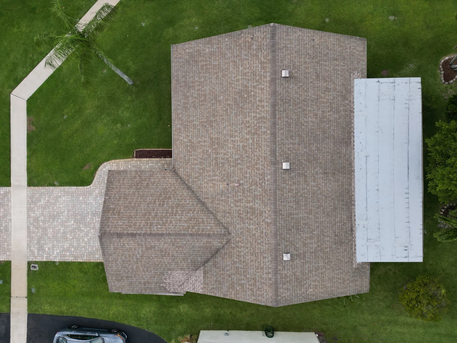
Drone Roof Inspection: What It Can and Cannot Show
A practical guide to planning aerial roof imagery, understanding its limits and getting a useful record for the next decision.
Read the guide →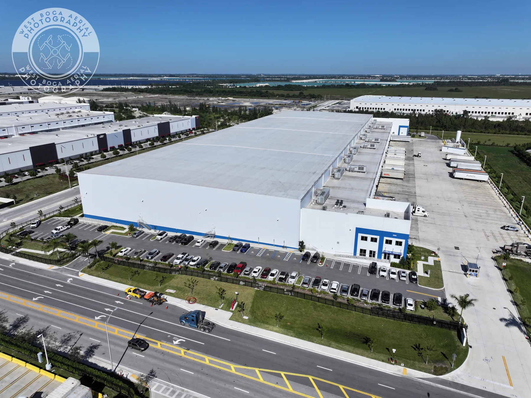
Drone Inspection Report: What to Ask For
A practical guide to turning aerial imagery into an organized record that helps property and project teams decide what happens next.
Read the guide →Solar Panel Thermal Inspection: What a Drone Can Show
A practical guide to planning thermal aerial coverage, reading the images responsibly and directing the right follow-up.
Read the guide →