Drone Construction Photography: A Guide for Project Teams
How to plan aerial construction photography that gives owners, contractors and stakeholders a clear record of an active site.
Drone construction photography is most useful when it answers a project question. A superintendent may need to show a remote owner what changed since the last visit. A project manager may need a wide reference before a coordination meeting. A developer may need a clean record of site scale, access and exterior progress for a lender, partner or future marketing package. In each case, the value comes from a planned visual record, not from collecting dramatic aerial views for their own sake.
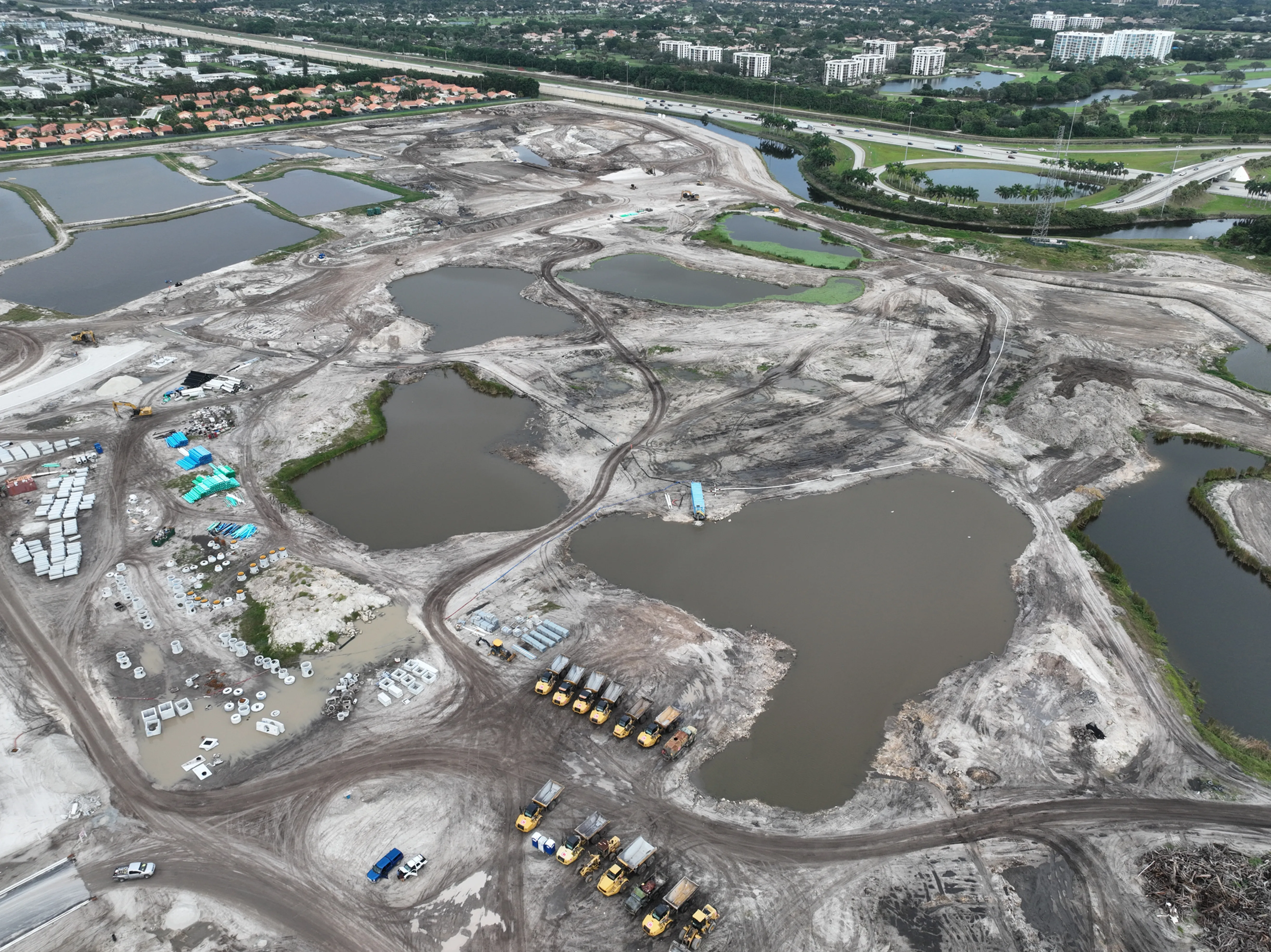
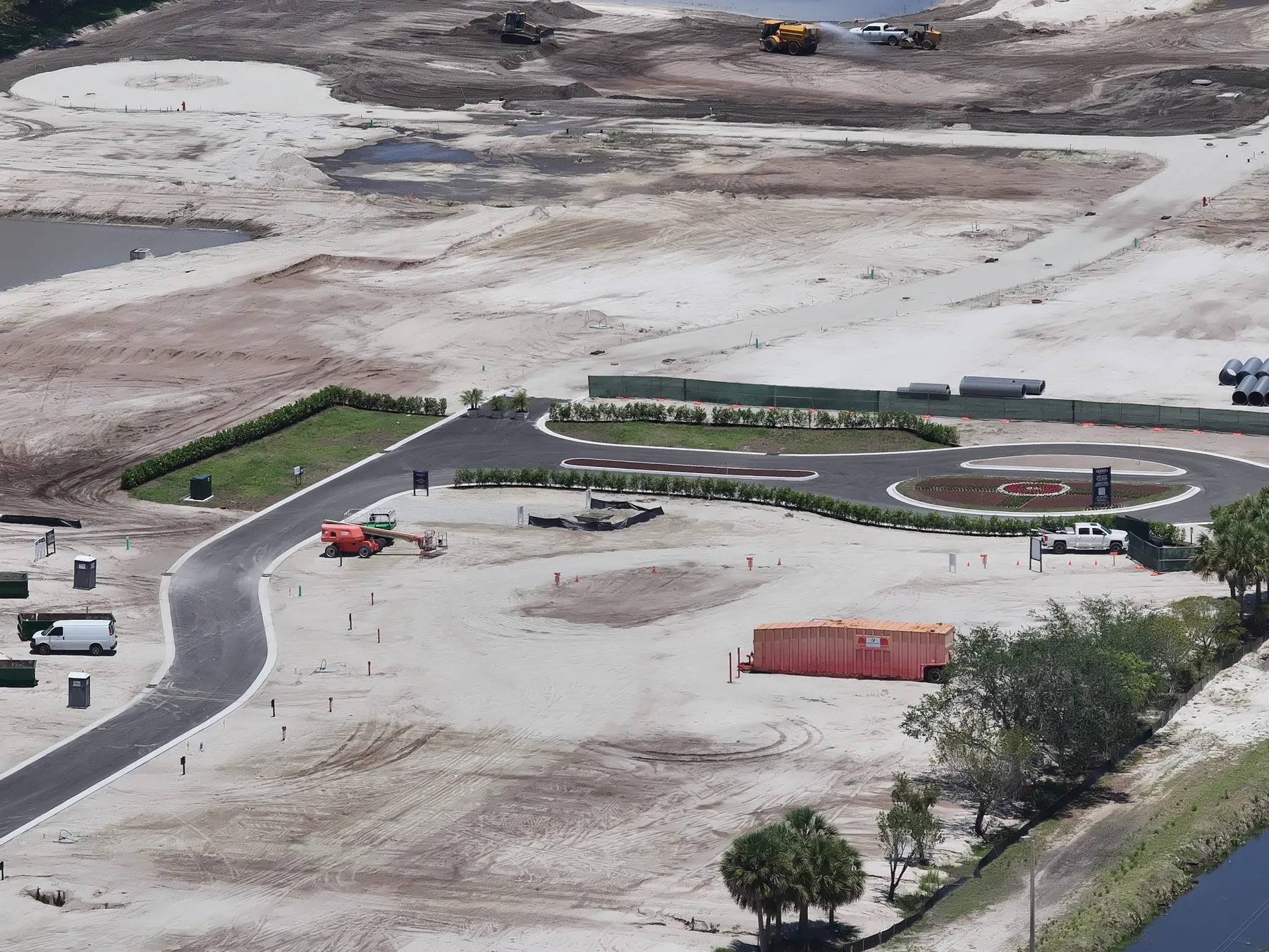
A good construction photo flight gives people who were not on site enough context to understand the work. It can show the relationship between buildings, staging areas, roads, drainage, parking, equipment and nearby development. Repeated views can make changes easier to compare from one milestone to the next. This guide explains what to decide before the flight, which views create the most useful record and how to keep aerial coverage working smoothly on an active South Florida project.
Start with the decision the images need to support
Before choosing an altitude, angle or visit schedule, name the decision behind the assignment. For an owner update, the priority may be a dependable set of matching overview views. For a lender or investor, it may be visible progress against the broader site plan. For a construction team, it may be current context around access, laydown areas, exterior work and the areas changing most quickly. A closeout or marketing assignment has a different job again: showing the completed building in its surroundings and documenting the finished exterior honestly.
This short conversation prevents a common problem: receiving many attractive images that do not answer the question someone needed to ask. Share the project stage, the audience, the deliverable deadline and the features that matter most. A site plan, prior progress report, ground-level reference photo or marked-up aerial can help identify the views worth repeating. West Boca Aerial Photography's construction progress photography service is built around that kind of brief, so each visit has a useful purpose before the aircraft leaves the ground.
Plan a small set of views that work together
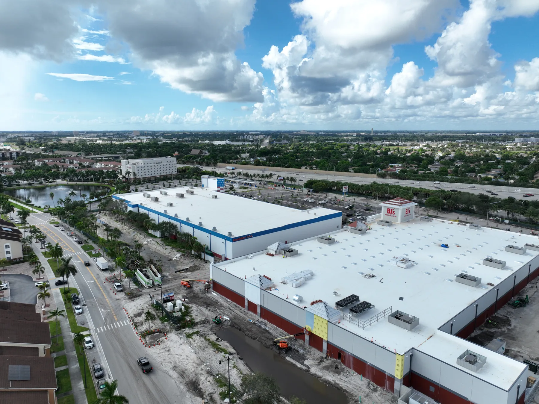
The strongest construction record usually combines broad, medium and detail views. A high overview establishes the site in its surroundings and makes the footprint easy to understand. Mid-level oblique views can show building form, circulation, access points and the relationship between work areas. Closer views can document visible progress at a facade, roof, parking field, retaining area, staging zone or exterior system. Together, those images tell a clearer story than a long folder of similar flyovers.
Ask which views should stay consistent from visit to visit. A matching angle is especially valuable when the project needs to show change over time, because a viewer can compare the same portion of the site without trying to reconstruct the camera position. Leave room for a few responsive images as well. An unexpected delivery, a major pour, a completed elevation or a newly opened access route may deserve a one-time view that adds context to that milestone. The existing construction progress photography guide explains how a repeatable capture plan can follow the project from early site work through closeout.
Coordinate the flight with the active site
A construction site changes by the hour, so the flight should fit the work rather than interrupt it. Give the pilot a current site contact, entry instructions, the best meeting point and an overview of active operations. Mention cranes, lifts, deliveries, concrete trucks, changing traffic patterns, restricted areas and any location where people may gather. A short pre-flight conversation lets the operator select a safe launch area and gives the project team a chance to identify the parts of the site that should be documented that day.
Commercial drone flights also operate within the rules that apply to the location and conditions. The Federal Aviation Administration's Part 107 guidance covers commercial small-drone operations, including visual line of sight, airspace, operating limitations and safe operation around people and property. The practical takeaway for a project team is simple: share site conditions early, avoid treating the drone as a shortcut around safety planning and give the pilot enough time to confirm the flight can be carried out responsibly.
Keep the capture separate from the work sequence. A pilot does not need every crew member to stop, but the site contact should know when the aircraft is arriving and which areas need a little extra awareness. If a requested view cannot be collected safely while a lift, crane or delivery is active, the useful choice may be to wait, adjust the position or return at another time. That is not a failed image. It is a record that respects the project's real operating conditions instead of creating a visual at the expense of the people on site.
The same principle applies to sensitive project details. Tell the operator if an area contains confidential work, security-sensitive infrastructure, nearby residences or people who should not be featured. A well-planned aerial set can still establish scale and progress without making a questionable image part of the project record. Clear expectations before the flight are easier to manage than trying to remove a problem after files have been delivered to a large stakeholder group.
Use light and timing to make progress legible
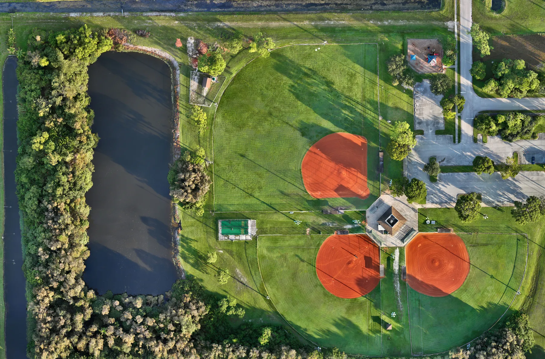
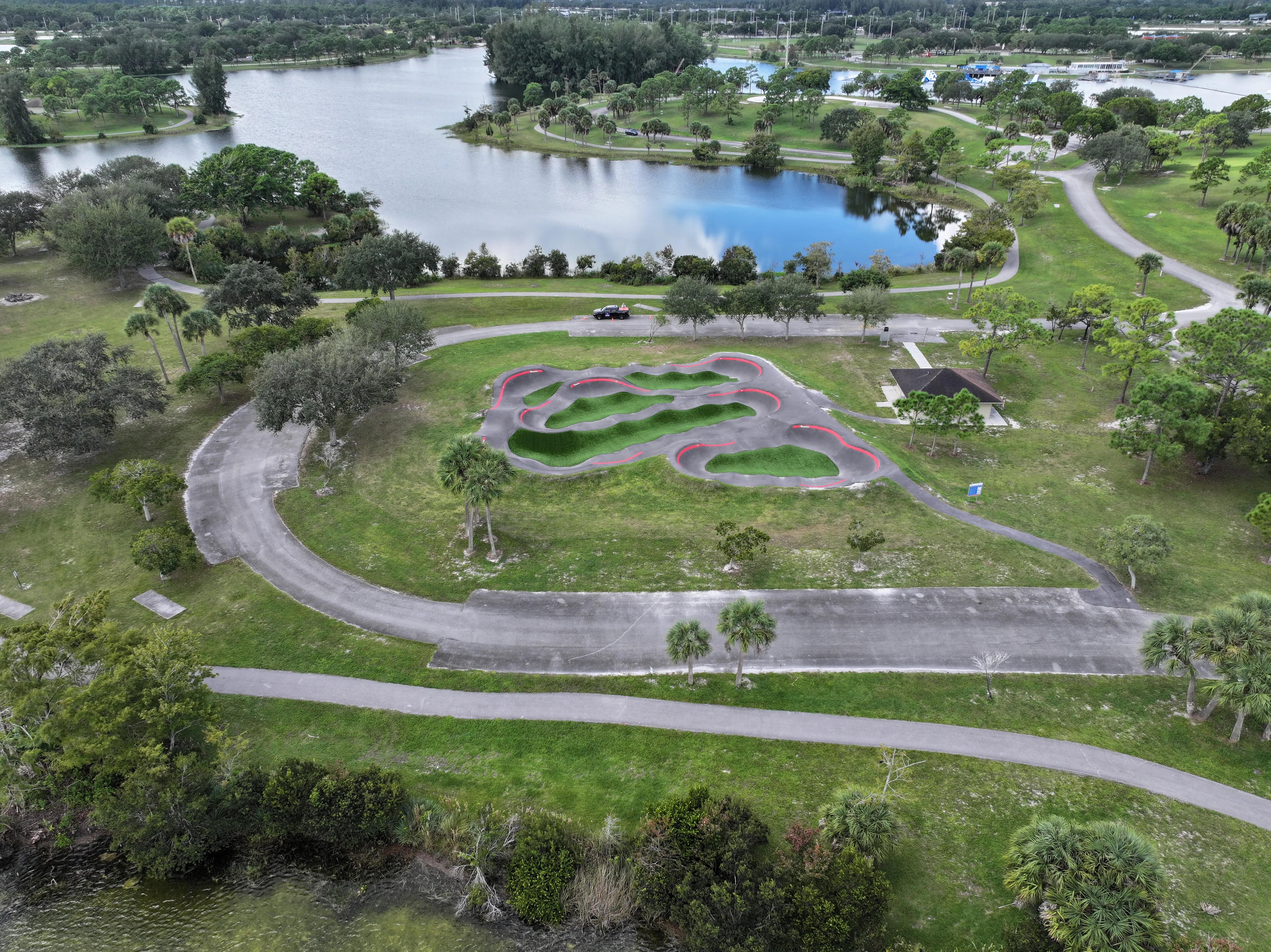
Construction photography has to be readable before it has to be cinematic. Strong low-angle light can reveal building form, texture and vertical progress, while a clearer overhead view may be better for showing layout, material staging, equipment position or a large area of earthwork. Cloud cover, wind, recent rain and the site's operating rhythm all affect what the final images can show. A project with reflective roofing, a busy loading zone or deep shadows beside a tall structure may need a different capture window than an open site in early grading.
For repeat documentation, consistency is often more valuable than chasing ideal light on every visit. Similar timing and comparable perspectives make a sequence easier to scan. When a special milestone deserves a more polished image, plan a separate capture around the finish, facade, landscaping or broader setting. That balance gives the team a dependable working record while still leaving room for the few images that will carry a presentation, announcement or closeout package.
Know what aerial photography can and cannot prove
An aerial image can document what was visibly present from the chosen position on the day of capture. It can show site context, visible exterior work, apparent access conditions and a broad relationship between features. It does not establish property boundaries, verify dimensions, certify code compliance, replace a survey or prove the condition of a concealed system. Keeping that distinction clear protects the usefulness of the record. The image can direct a conversation or help a qualified professional focus a site visit, but it should not make a conclusion it cannot support.
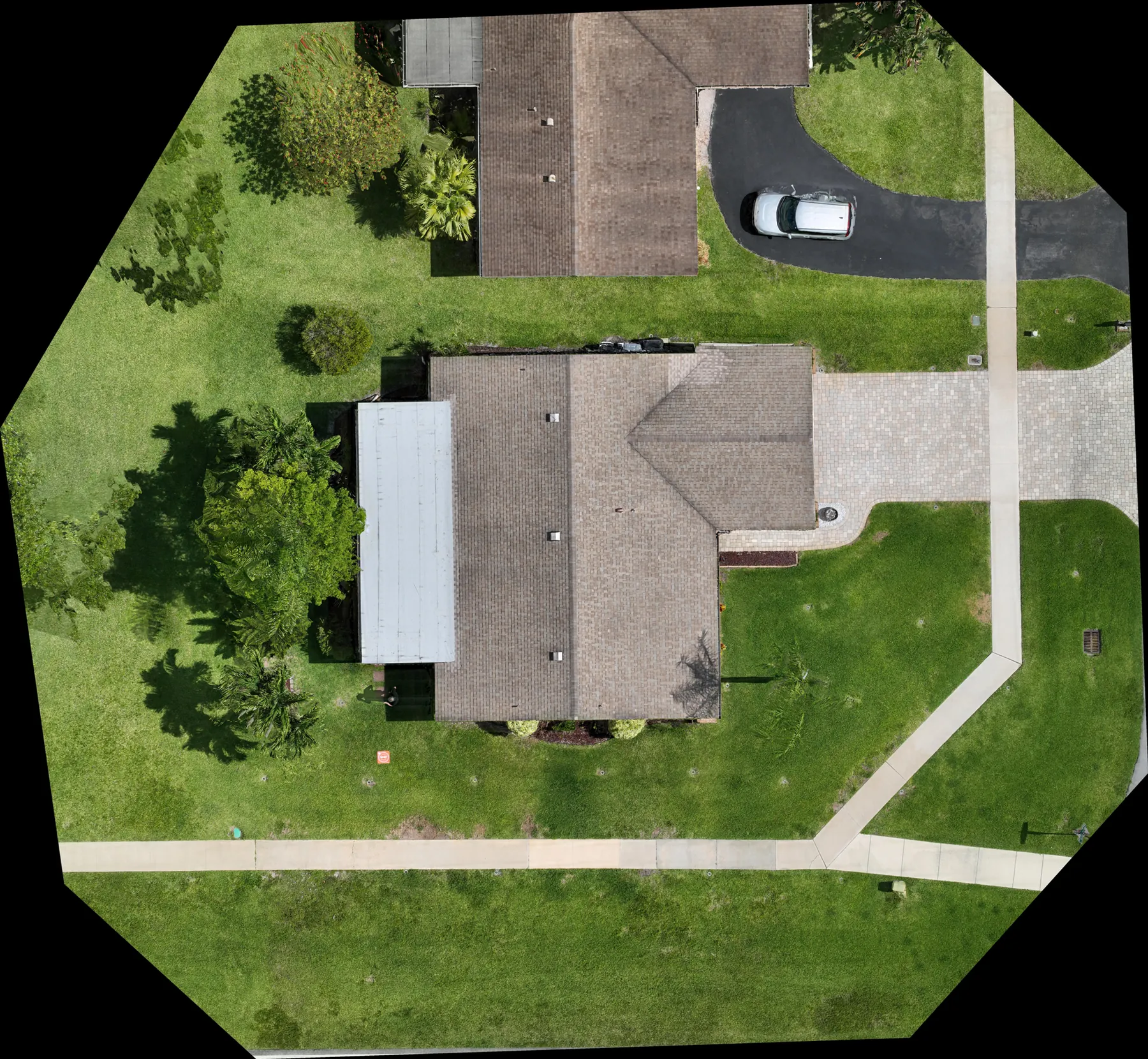
If the project needs a measured overhead reference rather than a photographic overview, discuss a dedicated construction and mapping capture. If the question concerns visible roof or equipment conditions, an inspection-led scope may be more appropriate than a progress flight. The site's drone building inspection guide covers how aerial imagery can create a useful property record while leaving diagnosis and repair decisions to the right trade professional.
Make delivery useful after the flight
The delivery should make the project easier to explain, not create another sorting task. A practical set often includes a short group of key overview images, a few labeled progress views and the full-resolution files the team needs for reports or later reference. Date the folders consistently and identify the view or area when that helps a person who was not present. The useful test is whether an owner, architect, lender or project manager can open the delivery and understand what they are seeing without an extra round of explanation.
Think about how the images will travel. A weekly field update may need a compact group of repeatable views. A monthly report may need wider context and a few milestone images. A final marketing package may need a more selective, polished edit. When video would explain movement, arrival or scale better than a still image, it can complement the photographs, but it should not replace the stills that people need to review quickly in a report or email. West Boca's commercial drone videography service can be planned alongside still photography when the project needs both formats.
A simple brief for drone construction photography
A clear brief can fit on one page. Include the site address, project stage, intended audience, requested date, priority work areas, deadline, site contact, entry procedure, active hazards, restricted areas and the decision the images need to support. Add prior aerials, a site plan or reference photos when they help identify the repeatable views. If a project team needs a sequence across several months, note the preferred cadence and the milestones likely to deserve extra coverage.
The pilot also needs enough context to plan within the site and airspace conditions. The FAA notes that commercial remote pilots must follow the applicable small-drone operating rules and assess what is safe for each operation. Its commercial operator guidance is a useful reference for teams that are new to arranging an aerial assignment. A thoughtful brief gives the operator the information needed to plan responsibly, and it gives the project team a more reliable record in return.
How West Boca Aerial Photography helps project teams
West Boca Aerial Photography plans construction coverage around the people who need to understand the site from somewhere else. The work can combine repeatable progress views, broad context, focused exterior documentation, video and organized delivery, based on the project stage and the decision the images need to support. The approach is practical: make the site clearer, preserve an honest visual record and keep the capture coordinated with the work already happening there.
For a planned assignment, share the location, timeline, project stage, priority views, access information and the next decision the images should help support. Review the team's construction field work and pilot credentials, then request a flight plan tailored to the site.
Frequently asked questions
What does drone construction photography document?
Drone construction photography can document broad site context, visible exterior progress, access, circulation, staging areas, equipment position and the relationship between project features. The useful scope depends on the project stage and the question the images need to answer. It documents visible conditions from the chosen perspective and date, rather than replacing surveys, engineering review or trade-specific inspection.
How often should a construction project be photographed by drone?
The right schedule depends on the pace of work and who needs the record. A project with frequent owner updates may benefit from regular repeat visits, while a smaller project may need coverage at key milestones such as site work, framing, exterior completion and closeout. Consistent viewpoints are especially helpful when the team needs to compare change over time.
What should a construction team provide before an aerial photo flight?
Provide the project address, a site contact, entry instructions, current work areas, active hazards, restricted zones, preferred timing, priority views and the intended use of the images. A site plan, previous aerial images or a short shot list can also help the pilot plan a safe and useful capture.
Can drone photography replace a construction survey or inspection?
No. Aerial photography can create a clear visual record and show visible conditions, but it does not establish boundaries, dimensions, compliance or the condition of concealed systems. Use the right survey, engineering, inspection or trade professional when the decision requires those conclusions.
Related posts
Construction Progress Photography: What to Capture and When
A practical capture plan for owners, contractors and project teams who need a clear visual record of a job as it moves.
Read the guide →Construction Aerial Drone Photography: A Planning Guide
How to plan aerial construction photography that gives project teams useful site context, repeatable records and clear updates.
Read the guide →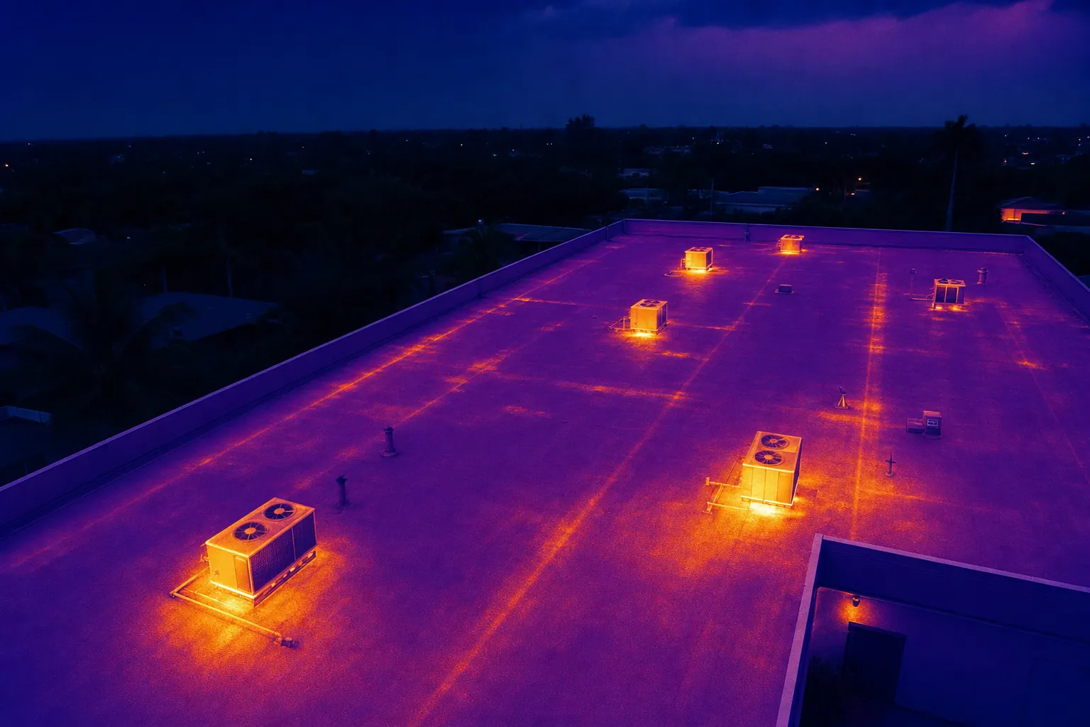
Drone Solar Panel Inspection: A Planning Guide
What a drone inspection can show, how thermal imaging fits in and what to define before a solar site is flown.
Read the guide →