Construction Aerial Drone Photography: A Planning Guide
How to plan aerial construction photography that gives project teams useful site context, repeatable records and clear updates.
Construction aerial drone photography is most valuable when it answers a project question. A high view can show a building footprint, access route, roof condition or changing site relationship in seconds. It is less useful when it is treated as a quick flyover with no agreed purpose, no repeatable views and no plan for who will use the finished images.
A practical assignment starts with the decisions the imagery needs to support. That could mean giving an owner a concise update, helping a project manager explain site logistics, creating a dated record before work is covered, or giving a marketing team approved views of an active development. The flight, shot list and delivery should all follow that job.
Start with the site question, not the aircraft
Before scheduling a flight, decide what a successful image set must make clear. For a large development, the priority may be the relationship between buildings, roads, parking and drainage. For a vertical project, it may be exterior progress, roof work, equipment placement and access. For a renovation, the useful view may be a before-and-after record of the property edge, loading area or work zone.
That distinction matters because one broad aerial image cannot serve every audience. A lender may need an overall milestone view. A superintendent may need a clear record of site conditions on a particular day. A project owner may want a smaller set of polished images for an update. Establish the audience, decision and delivery format before deciding where the drone should fly.
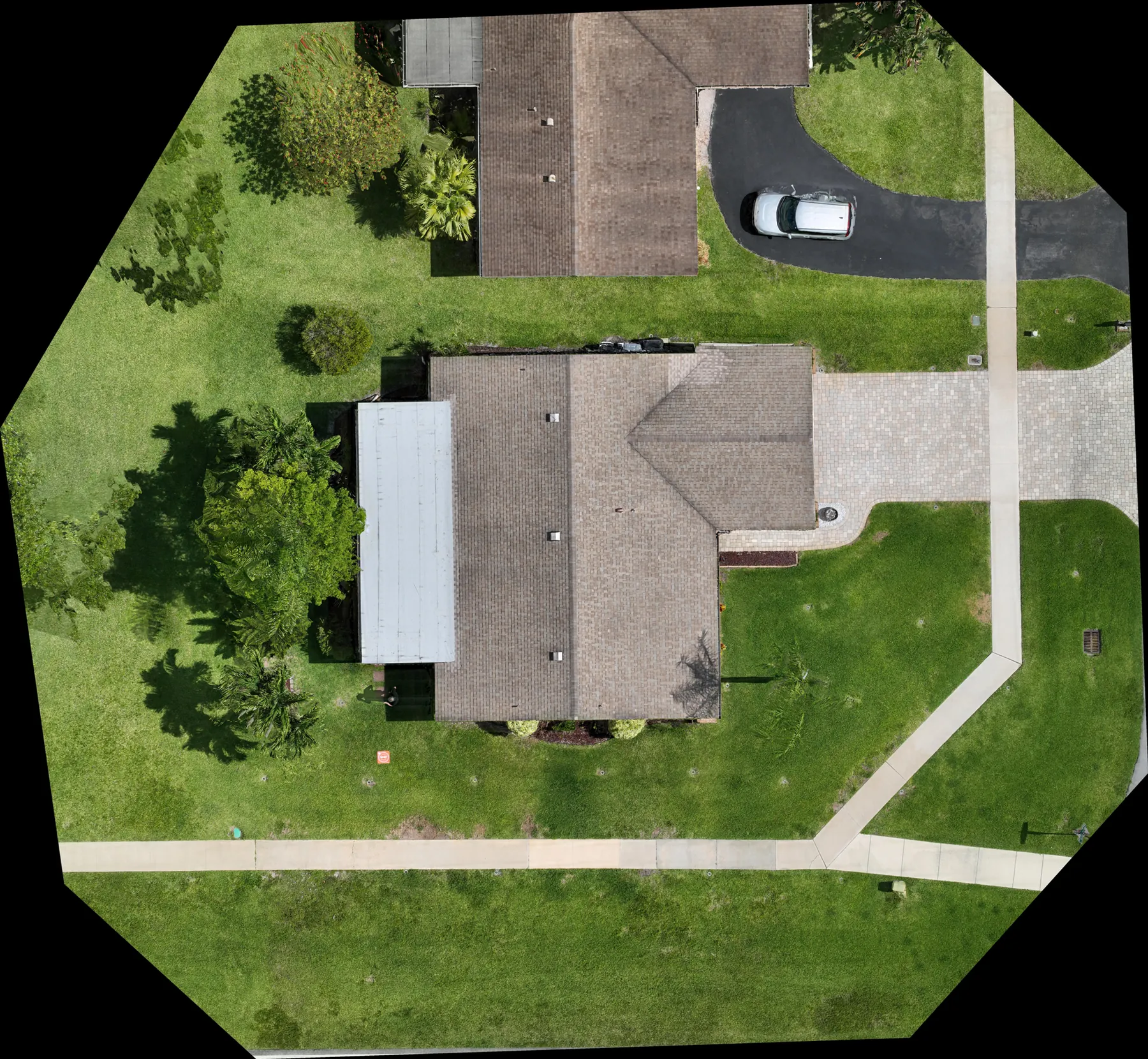
Teams that also need measurable site context can pair aerial photography with construction mapping. An orthomosaic can complement perspective photographs by showing a broad, consistent overhead view of the site.
Build a short aerial shot list that can be repeated
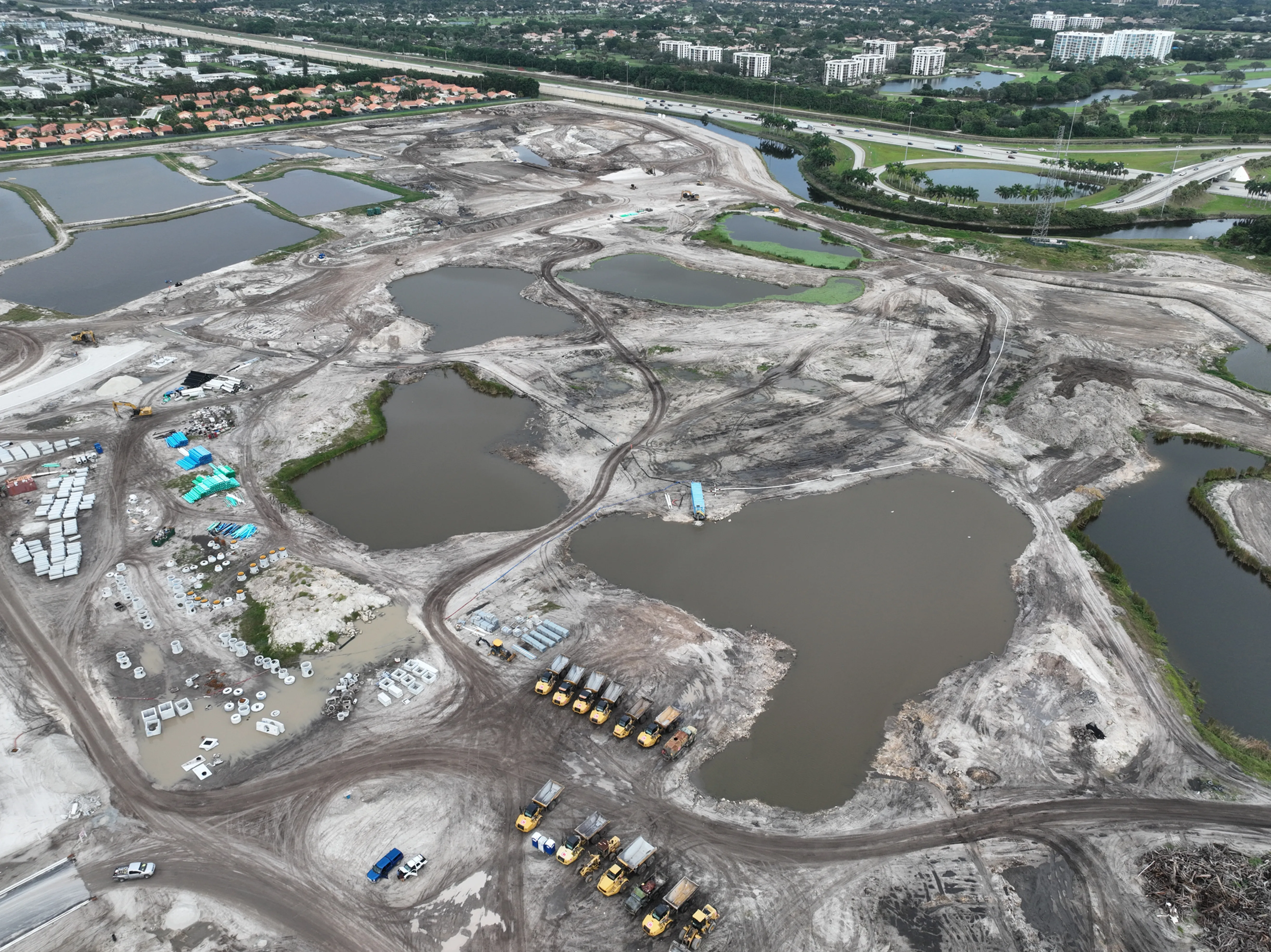
The strongest construction image sets are repeatable. Start with a handful of broad reference views: a high overall, the primary approach, each major elevation, site access, staging or laydown areas, and any condition that will soon change. Then add the views that are unique to the job, such as a rooftop unit, parking circulation, retaining wall, utility corridor or relationship to an adjacent property.
For each view, note the subject, the direction, the approximate height or distance, and why it matters. A reference image from the first visit is often enough to help the next flight recreate the framing. That consistency is what lets a project team compare progress without spending time guessing whether two images were taken from the same perspective.
Keep the list concise. A useful set may include ten carefully chosen views rather than a hundred near-duplicates. The goal is a visual record people can use, not a gallery that forces them to search for the one image that explains the condition.
Match the flight schedule to construction milestones
A monthly visit is a sensible starting point for many projects, but the schedule should follow the work. Add coverage before demolition, after grading, during underground utilities, at slab and structural milestones, during enclosure, before paving, and at completion when those stages matter to the project record. Fast-moving sites may need weekly or biweekly coverage; slower work may be better served by milestone visits.
The important moments are often the ones that disappear. Once a trench is backfilled, a roof is covered or a staging area is reconfigured, a later photo cannot show the earlier condition. Ask the project team which work will be concealed, removed or difficult to see from the ground before choosing the flight date.
For a complete record, aerial views work alongside ground photography. The aerial perspective gives context and scale, while ground images can show close conditions, interiors and details beneath overhangs. The right mix depends on what the team needs to explain later.
Plan around the workday and the site boundaries
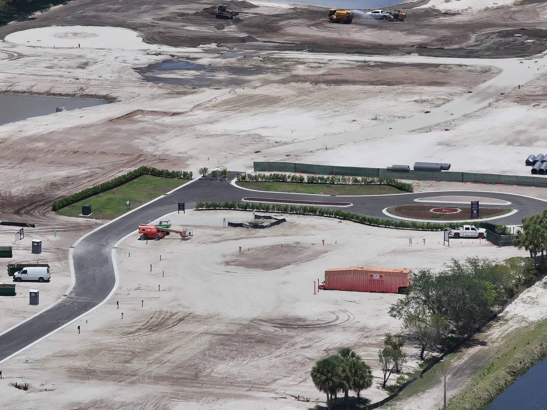
A construction site is not a controlled studio. Active deliveries, cranes, lifts, trucks, people on foot, weather and temporary restrictions can change the best flight plan from one hour to the next. Give the pilot a site contact, work hours, access instructions, known hazards and any areas that should not be photographed. That short exchange makes the visit more efficient and avoids unnecessary interruptions.
The project team should also identify material that is sensitive or not ready for public use. Construction imagery can show security measures, neighboring homes, proprietary equipment and unfinished work. A clear distinction between the internal record and images approved for public release protects the project while keeping the documentation useful.
The Occupational Safety and Health Administration describes construction as a high-hazard industry. Aerial photography can provide helpful context, but it does not replace site supervision, safety planning, inspection or professional judgment.
Keep commercial drone operations practical and compliant
Commercial construction drone work requires more than arriving with a camera. The remote pilot needs to consider airspace, weather, takeoff and landing areas, people on the site, temporary obstacles and the views that can be captured without disrupting the work. A workable flight plan respects the site first, then creates the images the team needs.
For commercial small-drone operations, federal rules generally require the aircraft to remain within visual line of sight of the remote pilot or visual observer. The visual-line-of-sight requirement in 14 CFR 107.31 is one reason a well-planned viewpoint and clear operating area matter on a busy jobsite.
The pilot should confirm the airspace and operating conditions for the specific location before the assignment. Conditions can change, and a good plan always leaves room to adjust the shot list or timing when safety, access or the site superintendent requires it.
Use the right view for the condition you need to explain
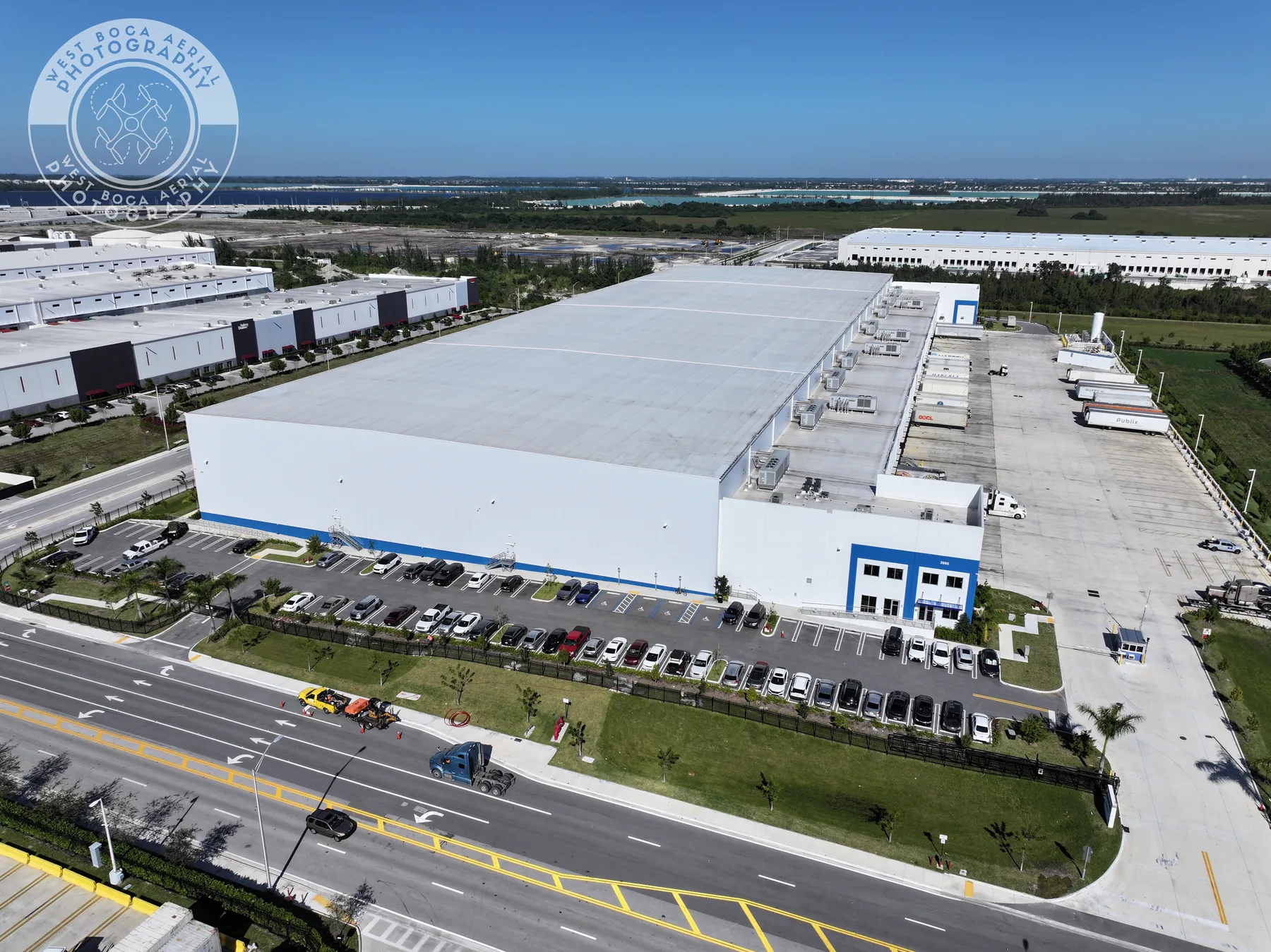
Aerial photography is not only a straight-down view. A high oblique image can show building mass, site access and the relationship between a project and its surroundings. A lower oblique view can make an exterior elevation, roof edge or equipment area easier to understand. A near-vertical image can be useful when the goal is broad layout, grading, circulation or a repeatable record of a defined area.
Choose the view based on the condition, not on what looks most dramatic. A sweeping perspective can be strong for an owner update, while a repeatable overhead view may do more work for a project team comparing staging, parking or material movement. When the image needs to become part of a mapping deliverable, plan the capture and processing requirements in advance rather than treating a standard photograph as a measurement tool.
Light also changes what the camera can reveal. Morning or late-afternoon light can make elevation changes and building form more legible, while midday can reduce long shadows on an open site. The best time depends on the subject, the surrounding obstructions and whether consistent comparison or presentation is the primary goal.
Deliver images that are easy to use after the flight
The value of construction aerial drone photography is realized after the flight. Organize the delivery by project, date and area or milestone so a person can find the right view quickly. A short index or descriptive file name can identify the location, direction and visible condition without making claims the image cannot prove.
Different stakeholders need different versions of the same work. A project manager may need a complete dated library. An owner may prefer a concise milestone update. A marketing team may need a separate, approved selection. Planning those outputs in advance prevents a useful photo record from becoming a folder that is too large or too vague to circulate.
The same approach can create a useful before-and-after sequence. Put like-for-like views next to each other, label the dates and make any changed condition easy to spot. That is usually more persuasive and more useful than a dramatic aerial image with no comparison point. It also gives future team members a quick way to understand what changed before they joined the project.
How West Boca Aerial Photography supports construction teams
West Boca Aerial Photography plans construction coverage around the site, schedule and people who need the images. Assignments can include repeatable aerial views, progress documentation, high-resolution photography and orthomosaic capture when a broader site record is needed.
The portfolio includes commercial construction, redevelopment and development work, including the Executive Center project and a Boca Raton housing development. Reviewing relevant field work before the assignment helps establish the level of site context and repeatability the finished imagery should provide.
For an aerial capture plan, share the location, project phase, access requirements, timeline and the questions the images need to answer. That gives the team a clear starting point for a useful record rather than a one-size-fits-all flight. It also helps the photographer recommend the right combination of aerial, ground and mapping coverage.
Frequently asked questions
What is construction aerial drone photography used for?
Construction aerial drone photography gives teams a clear view of site layout, exterior progress, access, staging, roof conditions and the relationship between work areas. It is commonly used for dated project updates, milestone documentation, owner communication, marketing images and before-and-after comparisons.
How often should a construction site be photographed by drone?
The right schedule follows the pace and milestones of the project. Monthly coverage works well for many long jobs, while fast-moving work may need weekly, biweekly or milestone-based visits. Plan flights before work is covered, removed or changed enough that a later image cannot show the earlier condition.
Are drone photos enough for construction documentation?
Drone photos are excellent for broad site context, roofs, exterior progress and large-scale relationships. They work best alongside ground photography when the record also needs close detail, interior conditions or views that cannot be safely or clearly captured from above.
What should a construction team provide before a drone flight?
Provide the site address, a primary contact, work hours, access instructions, active hazards, any restricted areas, the project phase and the decisions the images need to support. A short shot list or reference image is helpful when the team needs repeatable views over several visits.
Related posts
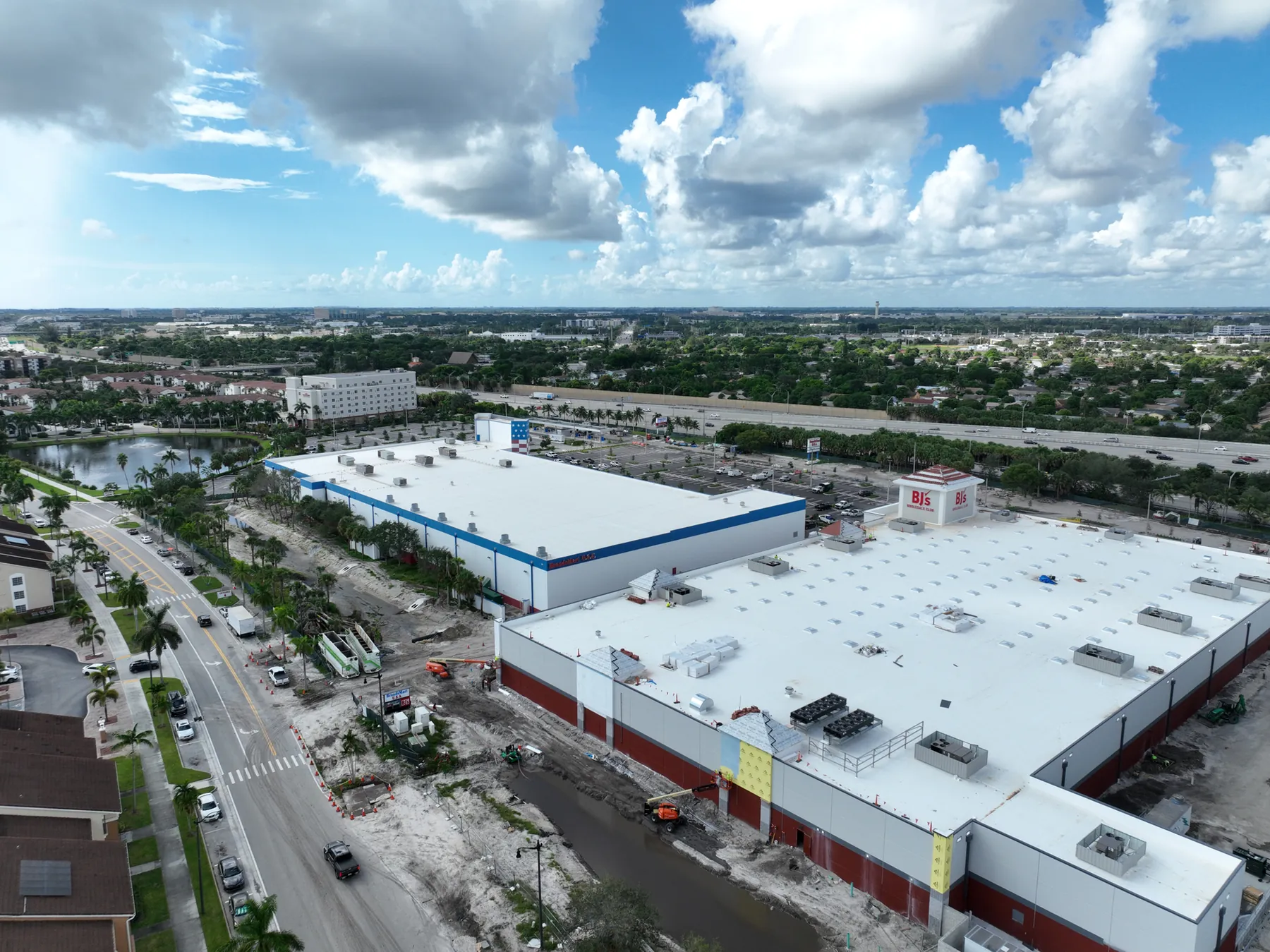
Construction Progress Photography: What to Capture and When
A practical capture plan for owners, contractors and project teams who need a clear visual record of a job as it moves.
Read the guide →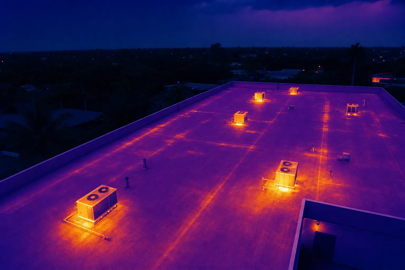
Drone Solar Panel Inspection: A Planning Guide
What a drone inspection can show, how thermal imaging fits in and what to define before a solar site is flown.
Read the guide →
Expertise of Expert Aerial Photographers
A closer look at the planning, skill and perspective behind effective aerial photography.
Read the guide →