Drone Solar Panel Inspection: A Planning Guide
What a drone inspection can show, how thermal imaging fits in and what to define before a solar site is flown.
A drone solar panel inspection is most useful when it answers a clear operational question. A property owner may need a visual record after a storm. A facilities team may want to screen a large roof before sending a technician into the field. An operations manager may need a repeatable image set that helps prioritize which areas deserve a closer look.
The flight itself is only one part of that work. Useful inspection imagery starts with the array layout, the site conditions, the right sensor and a plan for reviewing what comes back. This guide explains what an aerial inspection can reveal, where its limits are and how to prepare a visit that gives the maintenance team something they can act on.
Start with the question the inspection must answer
Before booking a flight, decide what needs to be confirmed. The goal might be documenting visible damage after wind or hail, checking for debris and shading, comparing a roof-mounted array with a prior visit or identifying areas that need a closer thermal review. Each goal changes the flight plan, the image scale and the final deliverable.
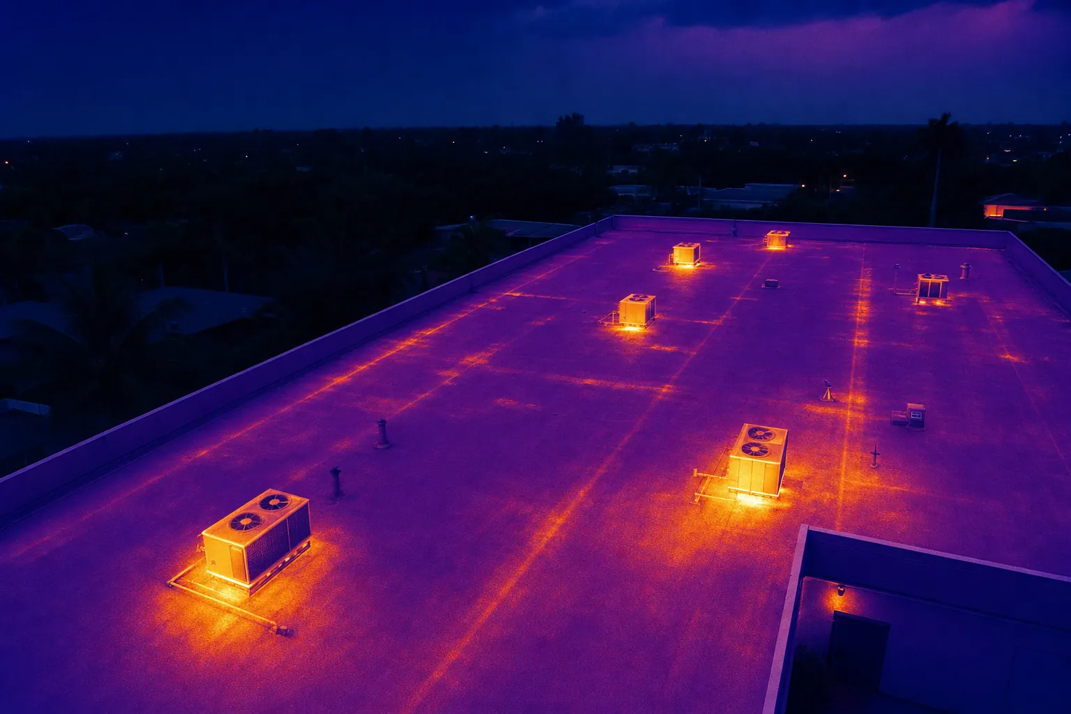
A broad overview is valuable for showing array condition in context, access routes and roof edges. Closer views are better for recording an isolated area of concern. Thermal capture has a different job again: it can flag temperature differences that may warrant follow-up. The U.S. Department of Energy notes that infrared imaging is used for photovoltaic modules and DC wiring because it can identify hot spots and several failure modes, but it also requires trained personnel and an appropriate inspection scope.
Write the question in one sentence and share any recent repair notes, production concerns or reference images. That turns the work from a general flyover into a documented inspection visit.
Choose visible-light, thermal or both
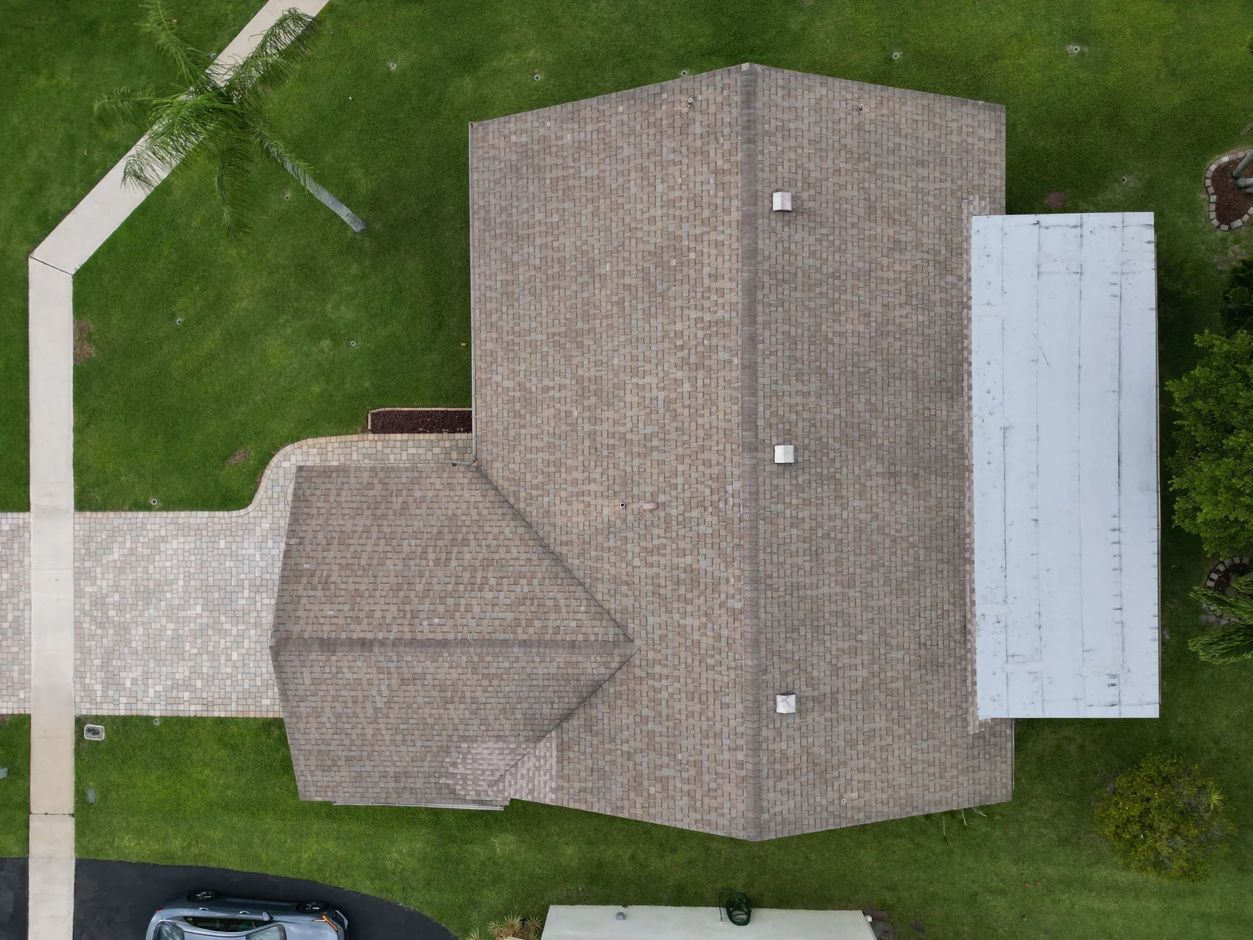
Visible-light imagery is the right starting point when the team needs a clean record of the physical site. It can show loose debris, standing water, obvious breakage, heavy soiling, vegetation growth, roof access issues and the relationship between the array and nearby structures. It is also useful for communicating a finding to an owner, insurer or contractor who was not on site.
Thermal imagery records surface temperature patterns rather than ordinary colour. On a solar array, a temperature difference can point to an area worth investigating, but it is not a final diagnosis by itself. Irradiance, wind, panel temperature, angle, loading and the timing of the flight all affect what the camera sees. A thermal finding should be reviewed alongside operating data and, when needed, a qualified technician's close inspection.
For many commercial roofs, the most practical deliverable is both: visible imagery that gives the team orientation and thermal imagery that directs follow-up attention. West Boca Aerial Photography's thermal inspection service is built around that combination of aerial context and focused capture.
Plan the timing around weather and site conditions
Conditions matter. A thermal image taken at the wrong time can be hard to interpret, while a flight scheduled around the site's operating window has a much better chance of producing a useful comparison. The inspection team should agree on the array being energized, the weather outlook, recent cleaning or rainfall, access windows and any areas that cannot be flown over.
The site also needs to be safe to work around. Active loading areas, rooftop contractors, lift operations, public spaces and nearby traffic can change where the aircraft can safely launch, recover and travel. The Federal Aviation Administration requires commercial small-drone operations to follow Part 107 operating guidance, including the applicable airspace and operational rules. A professional operator should plan those constraints before showing up with the aircraft.
For a recurring program, keep the capture timing and major views consistent from visit to visit. The photos become more useful when the team can compare like with like rather than trying to interpret a different angle every time.
Build a shot list that makes review simple
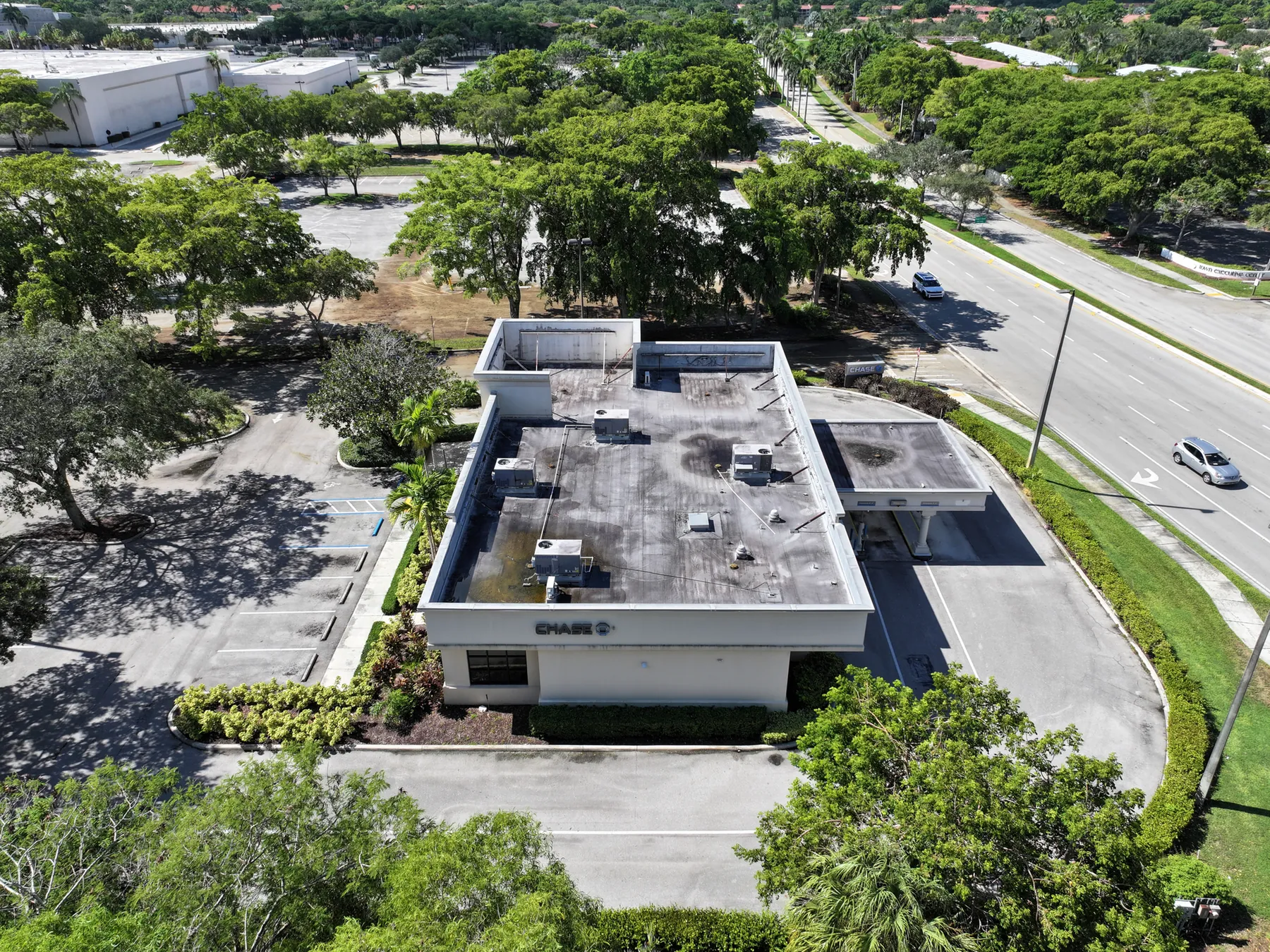
A strong shot list moves from orientation to detail. Start with wide views that show the full array, roof edges, equipment locations and access points. Then capture repeatable passes or oblique angles for individual sections. Finish with close views of known concerns, such as a shaded section, a damaged module, a drain area or an equipment enclosure.
Name the sections in a way that matches the owner's existing plan, string map or maintenance records. An image folder full of unnamed frames creates work for the person who has to review it later. A labeled overview, organized image groups and concise notes make it much easier to send a specific concern to the right contractor.
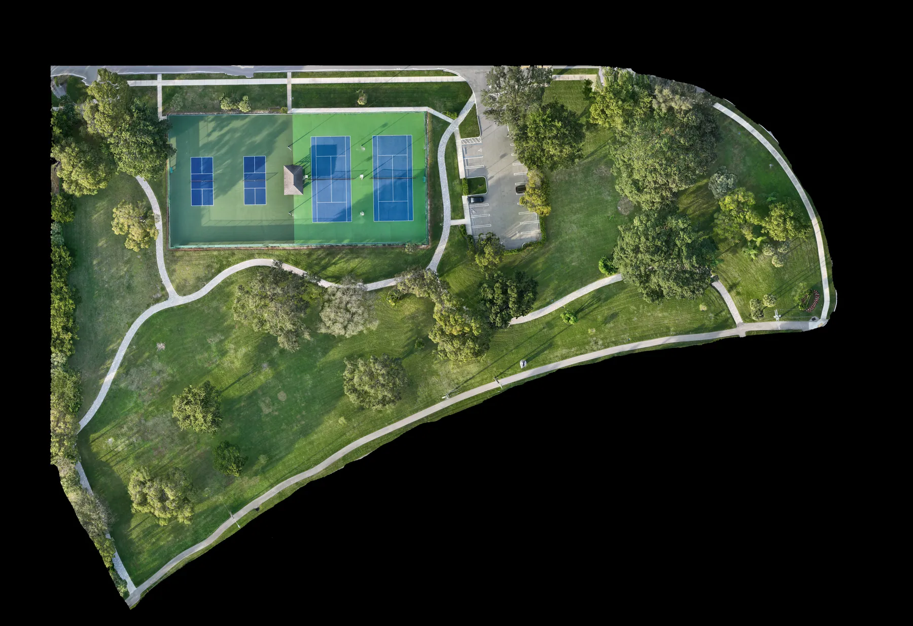
When location accuracy or a consistent site base is important, an orthomosaic or mapping capture can provide a larger, more repeatable site view alongside the inspection images. It does not replace electrical testing, but it can make the visual record easier to navigate.
Know what a drone inspection cannot confirm
An aerial inspection is a screening and documentation tool. It can show conditions that deserve attention, but it cannot determine electrical root cause, certify code compliance or replace a hands-on repair assessment. A thermal anomaly can be related to a module, connection, loading condition or environmental effect; the maintenance team needs the final word on what to repair.
The same limitation applies to safety. Clear imagery may help a team understand where a concern is, but it does not make a roof safe to access or remove the need for a site-specific safety plan. The FAA also emphasizes that remote pilots must operate within the applicable Part 107 rules, including visual line of sight and airspace requirements.
That is not a weakness. It is the point of a good inspection program: use aerial information to make field work more targeted, safer and easier to explain.
Set up a repeatable review process
The inspection creates value when the images reach the right person quickly. Decide in advance who reviews visible imagery, who reviews thermal findings, how a concern is logged and who has authority to approve follow-up work. A simple review path prevents a useful finding from disappearing into a shared folder without an owner.
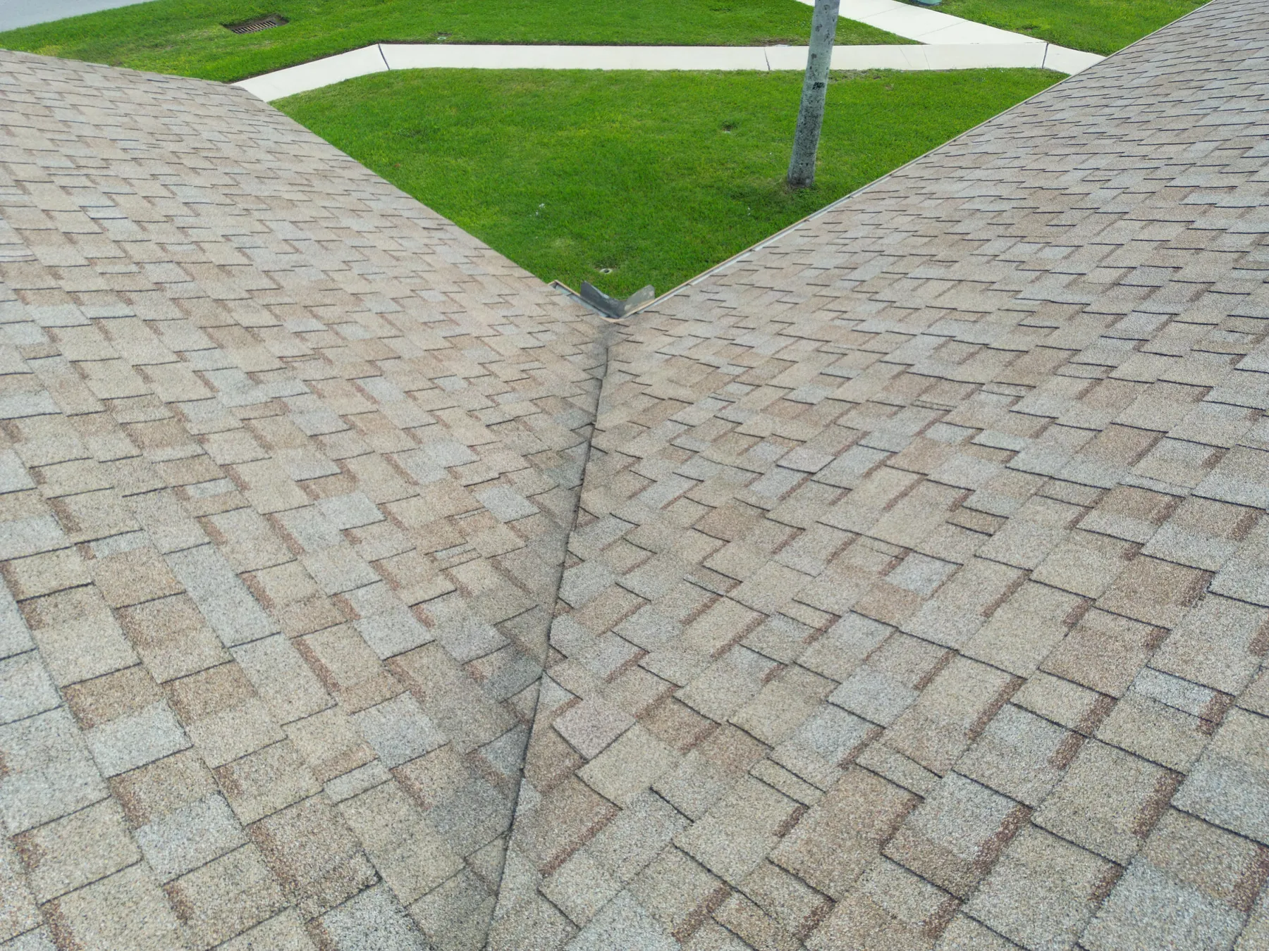
For larger arrays, use an overview image as the common reference point and assign simple area names before the flight. Pair each close image with its section label, capture date and a short note about why it was included. That makes it easier to compare later flights, communicate with a service contractor and keep an internal record when the facility changes hands.
A repeatable review process also helps separate observation from conclusion. The aerial team can clearly identify what is visible and where it appears. The solar maintenance team can then confirm the cause, decide whether a repair is needed and document the outcome. That division keeps the record accurate and useful.
What to ask for in the final deliverable
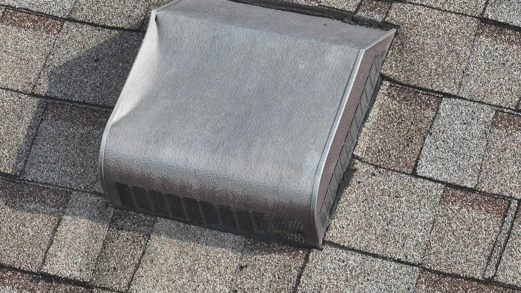
Ask for a deliverable that matches the decision you need to make. For a one-time visual review, that may be an organized set of high-resolution images with a few annotated overview frames. For an issue-led inspection, it may include visible and thermal pairs for the flagged areas. For a recurring program, request repeatable coverage, consistent file naming and a clear record of the flight date and site conditions.
The final package should help someone who was not present understand where each image belongs. That means useful labels, sensible groupings and enough context to connect a close image back to the larger array. Avoid treating the job as a pile of camera files. The value is in a record that a facilities, operations or maintenance team can use without redoing the detective work.
How West Boca Aerial Photography helps with solar inspections
West Boca Aerial Photography plans each inspection around the site, the operating question and the people who will review the imagery. The team provides visible and thermal aerial capture for roofs, solar arrays and equipment, with a focus on organized visual records that help guide the next conversation.
For a planned visit, share the site address, the array type, the reason for the inspection, access details, active hazards and any views the team needs to repeat. You can request a flight plan with those details, or review the company's pilot credentials before scheduling a commercial operation.
Frequently asked questions
What can a drone solar panel inspection find?
A drone can document visible conditions such as debris, shading, obvious damage, access issues and the overall state of an array. Thermal imagery can flag temperature differences that may need closer review. The images help direct maintenance work, but they do not replace electrical diagnosis or a qualified technician's assessment.
Do solar panels need to be producing power for thermal drone imaging?
The inspection conditions should be planned with the system operator because thermal results depend on the array's operating state and the weather. Share the production schedule, recent cleaning or rainfall, access restrictions and the reason for the inspection so the flight can be timed appropriately.
How often should a solar array be inspected by drone?
The right cadence depends on the asset, its environment and the decisions the owner needs to make. Some teams use aerial documentation after major weather events or before maintenance work, while others build a repeatable seasonal or annual record. A consistent capture plan is more useful than occasional images taken from unrelated angles.
Can drone images replace a hands-on solar inspection?
No. Aerial imagery is a practical way to screen large areas and document conditions, but it does not confirm electrical root cause, certify compliance or replace an on-site repair assessment. Use it to help the right technician focus on the right location.
Related posts
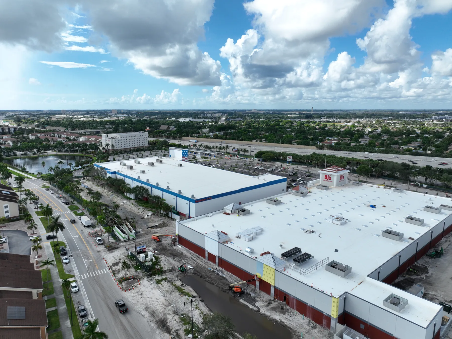
Construction Progress Photography: What to Capture and When
A practical capture plan for owners, contractors and project teams who need a clear visual record of a job as it moves.
Read the guide →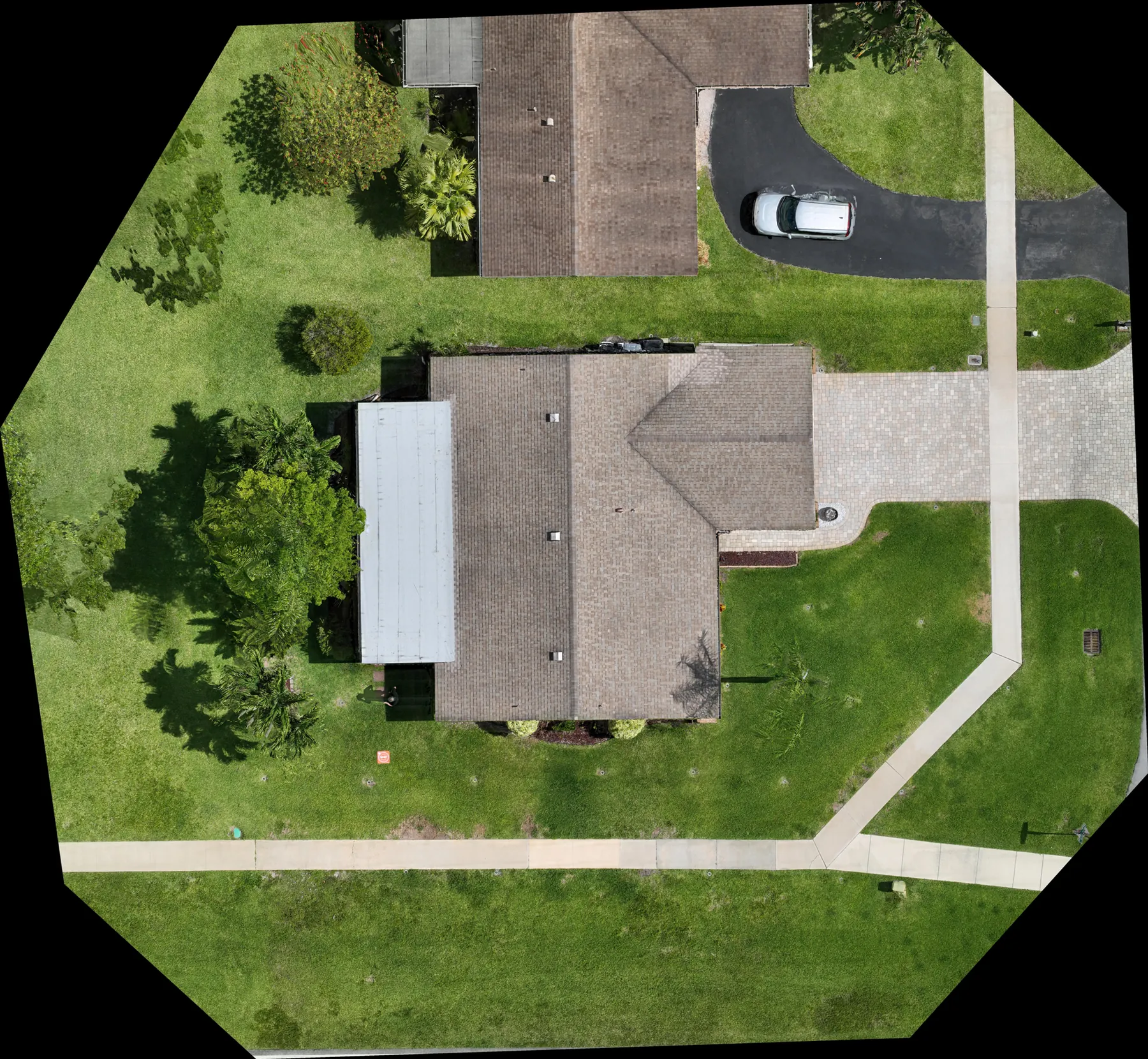
Construction Aerial Drone Photography: A Planning Guide
How to plan aerial construction photography that gives project teams useful site context, repeatable records and clear updates.
Read the guide →
Expertise of Expert Aerial Photographers
A closer look at the planning, skill and perspective behind effective aerial photography.
Read the guide →