Property Stories
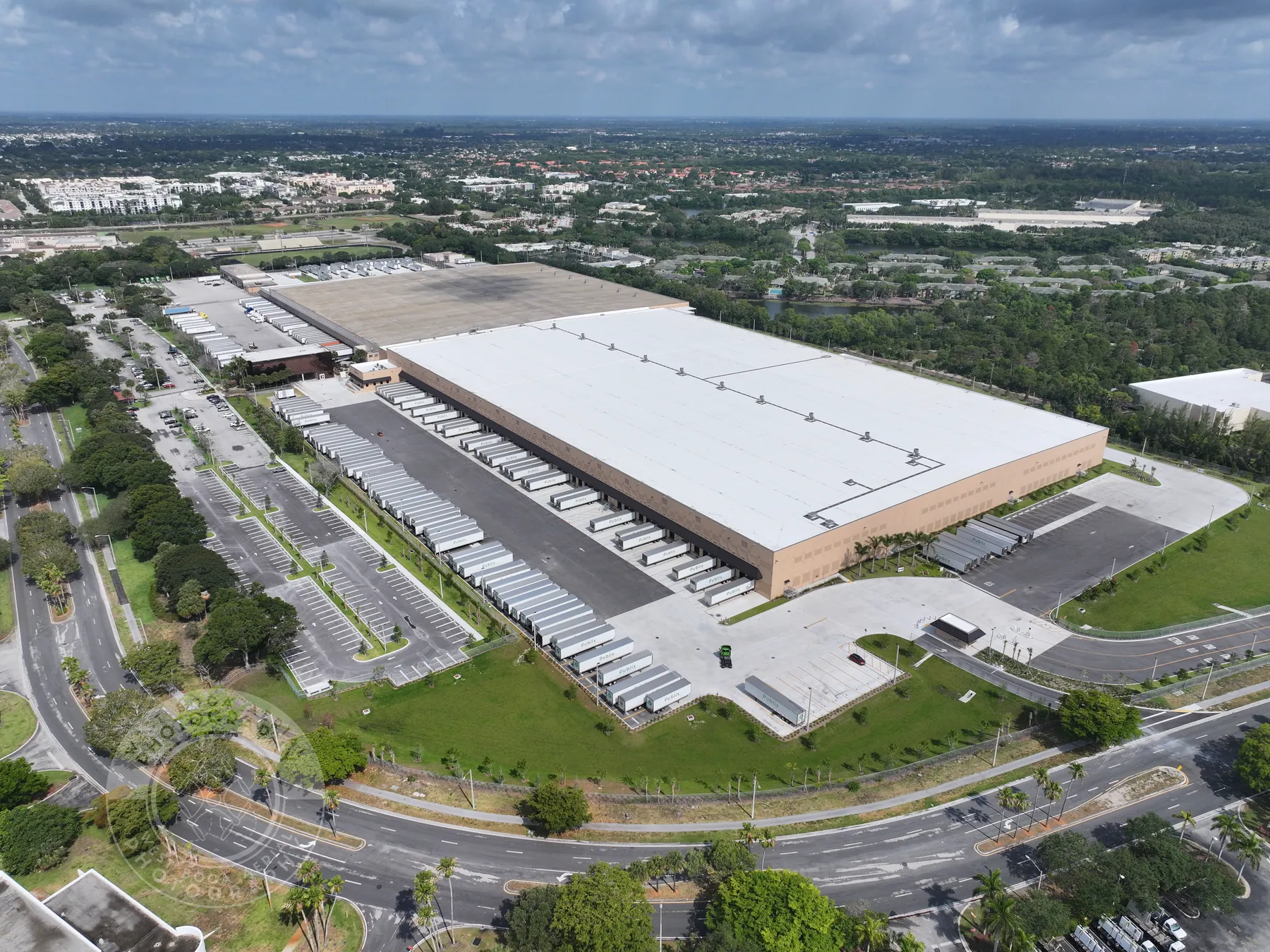
Aerial motion can show how a property sits within its approach roads, parking, neighboring uses, waterfront or surrounding landscape before the viewer ever arrives on site.
Aerial video that gives a property, project or place a clear story in motion.
Commercial drone videography is most valuable when it helps someone understand a place, project or property more quickly. A strong aerial sequence can reveal scale, approach routes, site relationships and movement through a setting in a way a single still frame cannot. It is not just a flyover. It is a planned visual path that gives the viewer context before asking them to focus on the detail that matters.
West Boca Aerial Photography plans each assignment around the job the footage needs to do. A commercial property may need a clean opening sequence that connects the building to its parking, access and surrounding area. A construction team may need a concise milestone update that makes site progress easier to share with owners or off-site stakeholders. A public-space, hospitality or destination project may need an inviting overview that shows the place in use and how it fits into the wider setting.
The right flight begins with the decision behind the video. That affects the time of day, shot list, camera movement, site coordination and final delivery. It also keeps the finished footage focused. Instead of receiving a long collection of unrelated clips, the client receives a planned set of views that can be edited, shared or used as a reliable visual record.
For assignments that need both movement and detail, aerial video can be captured alongside high-resolution photography. The two formats serve different purposes, but together they give a marketing, project or property team more flexibility after the visit.
Aerial motion can show how a property sits within its approach roads, parking, neighboring uses, waterfront or surrounding landscape before the viewer ever arrives on site.
For construction, redevelopment and public works, a planned flight can give stakeholders a concise view of scale, access, sequencing and the progress that a still image may not fully explain.
The final footage is organized around the intended use, whether that is a project update, presentation, listing, social edit, website feature or archive of a changing site.
Before a drone is launched, identify who needs to see the footage and what they should understand by the end. That may be the scale of a development, the approach to a commercial site, the relationship between buildings and amenities, the current phase of construction or the character of a park, waterfront or public space. Those priorities shape the route through the scene.
A thoughtful sequence commonly starts broad, then moves closer. A high establishing view can orient the viewer. A slower pass can show a building face, roofline, circulation route or work area. A lower angle can add depth and reveal how one feature connects to another. The flight does not need to chase every angle. It needs to capture the few movements that make the assignment easy to understand.
Site coordination keeps that plan practical. The team may need to account for active work, deliveries, people, vehicles, temporary equipment, restricted views, launch space, weather and applicable airspace. A short briefing also helps decide whether the goal is a quiet property sequence, a more active project update or footage that needs to avoid showing sensitive work before it is ready to be shared.
Explore commercial imagery →Explore construction progress photography →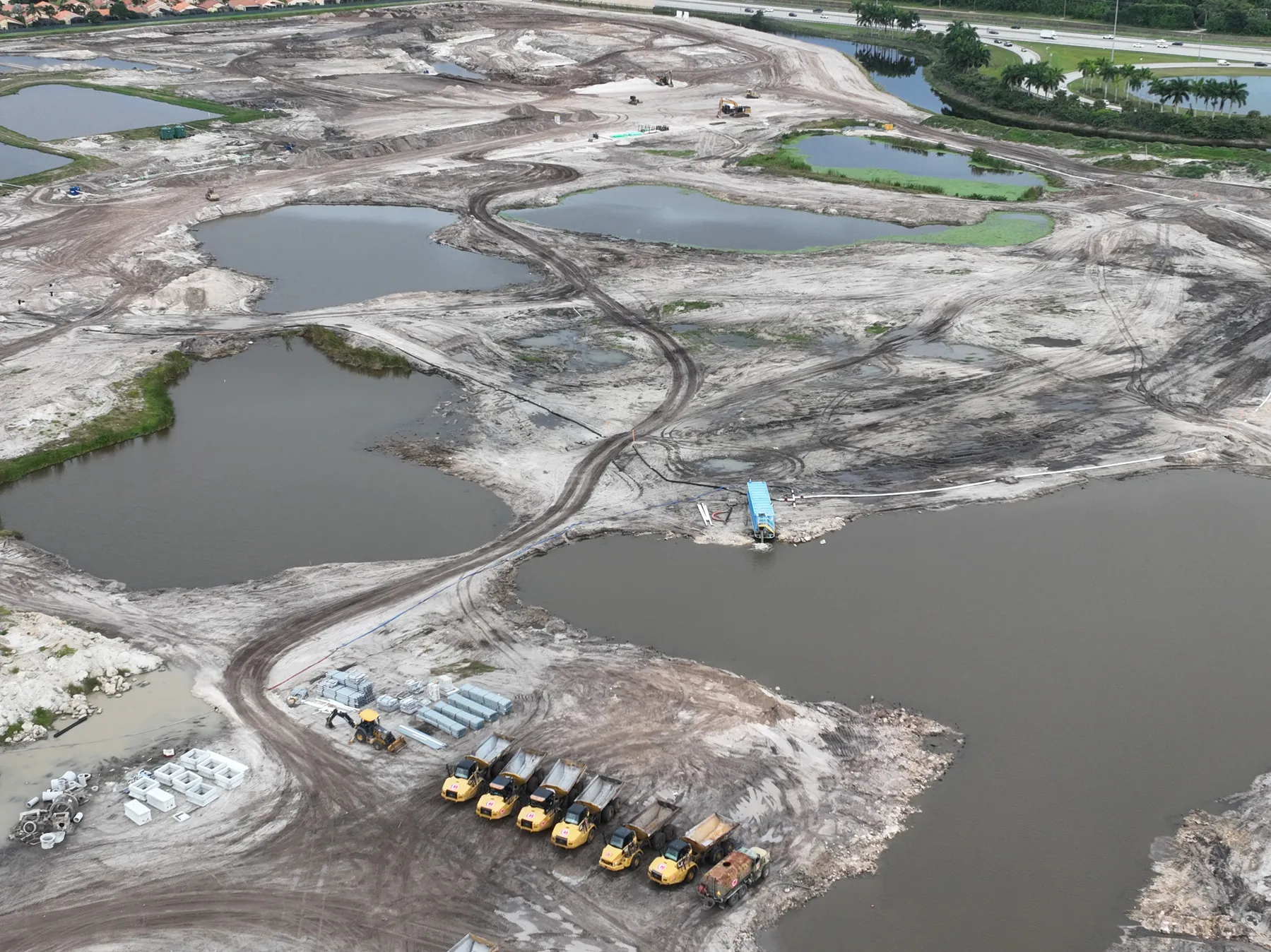
Start with the intended audience and the point they need to understand. A property investor, prospective tenant, project owner, community stakeholder and marketing team may all need different views from the same site. The brief identifies the priority areas, the tone of the footage and the final use before the shot list is set.
The flight uses steady, repeatable movements rather than random passes. Broad overviews, approach shots, lateral moves and carefully framed detail views can show the scale and relationship of a site while leaving enough space for an editor or project team to use the footage comfortably.
Footage is handed off around the assignment, with clips that are easier to review and identify later. When a project needs a finished edit, it is useful to establish the requested length, platform, audience and delivery schedule before the shoot so the capture plan supports that final piece.
For commercial property, video can help a prospective buyer, tenant, investor or partner grasp what is difficult to communicate in listing photos alone. Aerial footage can establish the location, show access and surrounding uses, reveal site scale and provide a more natural introduction to the property. Ground photography and high-resolution stills can then carry the closer details where a moving aerial shot is not the right tool.
For construction and development, planned video can give a project team an efficient way to communicate an update. A recurring view over the same site can show the changing relationship between completed areas, active work zones, circulation, landscaping and the surrounding neighborhood. That visual context can be useful for owner updates, presentations, milestone records and approved marketing material, while the supporting photo library holds the more detailed record.
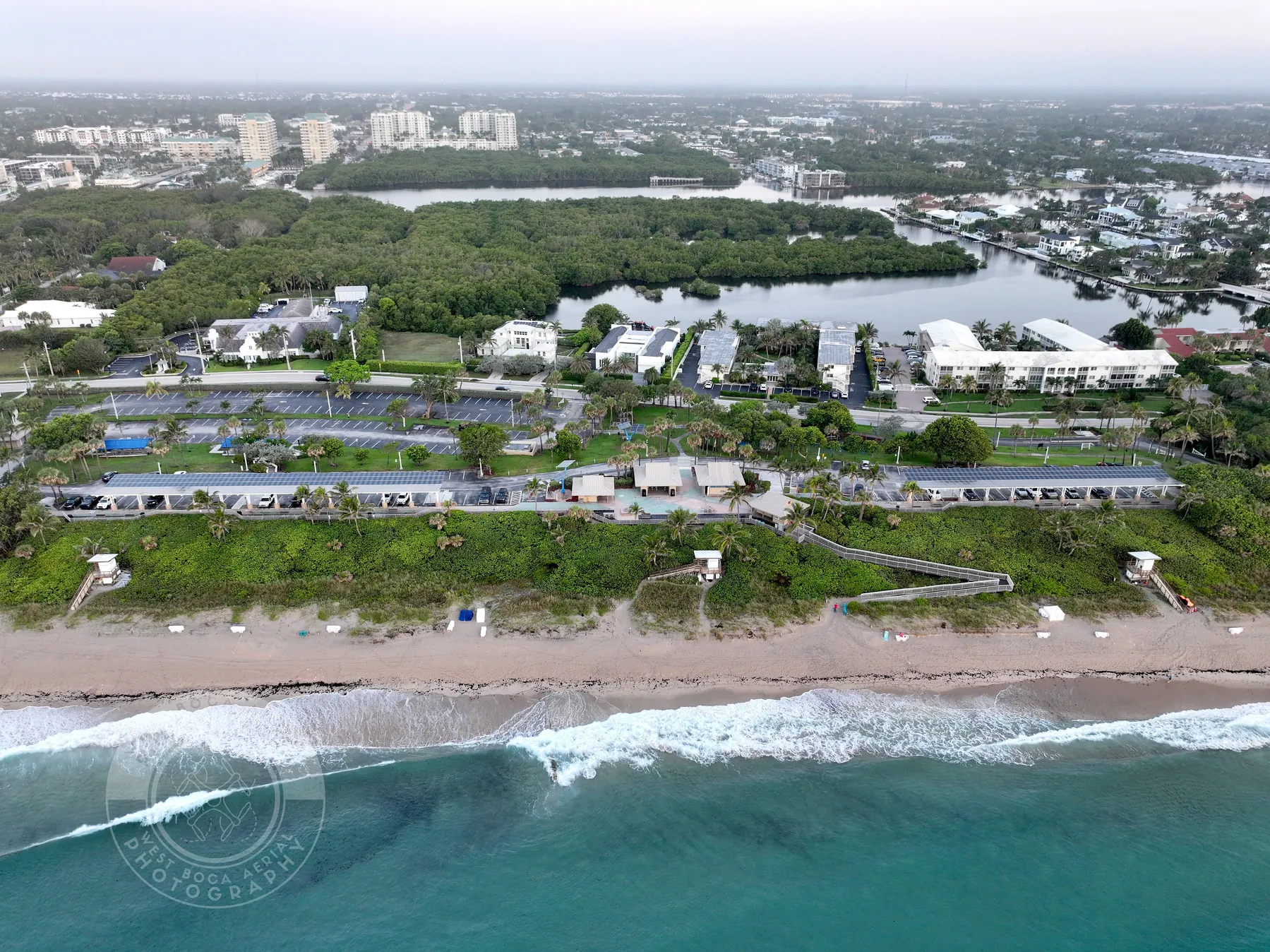
For public places, hospitality and destination work, aerial video can make a location feel tangible. It can show how a park, waterfront, campus, event space or resort connects to the surrounding area and why the setting is worth a closer look. The assignment should still respect privacy, site rules and any areas that the owner or operator does not want shown publicly.
West Boca Aerial Photography can also coordinate aerial video with drone mapping services when a project needs a clear overhead reference, or with thermal and visible-light inspection coverage when the purpose is an organized review rather than a marketing piece. The point is to match the format to the job, not treat every flight as the same deliverable.
West Boca Aerial Photography plans aerial video for commercial property, construction and development, public spaces, hospitality, infrastructure, events and other assignments where motion helps explain the place or work.
Yes. A flight can include both video and still photography when the assignment needs a polished motion sequence alongside high-resolution images for a listing, project update, presentation or record.
Share the site address, intended audience, timing, key views, access details, on-site contact, active work or restrictions, and where the finished video will be used. A short brief or reference video is helpful when a specific story or pace is important.
The flight plan considers the available launch area, people and vehicles, active equipment, temporary hazards, weather, airspace and the views that can be captured without disrupting the work. Site coordination before the visit helps identify any restrictions or sensitive areas.
Give the project a clearer point of view.
Request a video flight plan →