Site-Wide Context
A high, consistent aerial view can bring buildings, grading, access, drainage, staging and property edges into one useful reference.
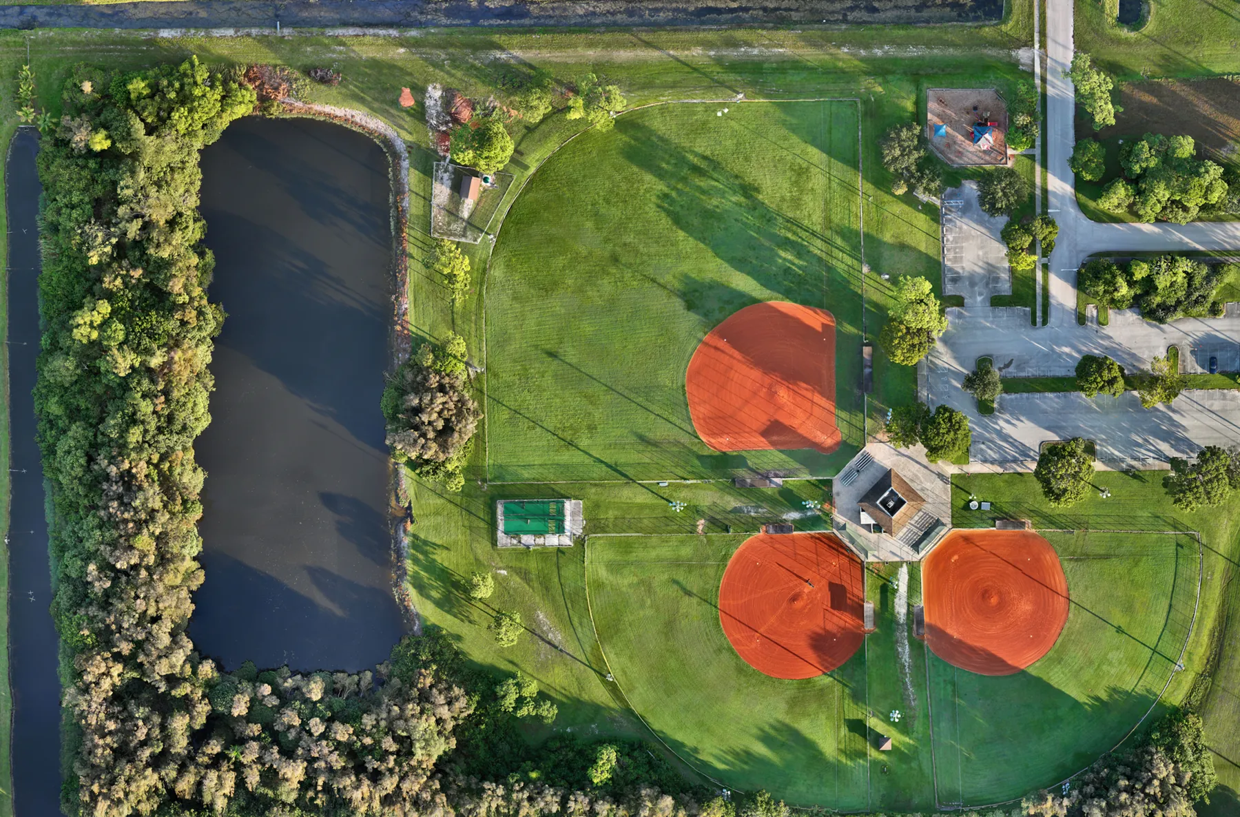
Clear overhead capture for teams that need a practical site reference, organized around the work in front of them.
When a site is large, changing quickly or difficult to understand from the ground, a well-planned aerial map gives the team a shared starting point. It can show how buildings, access roads, parking, drainage, open space, material staging and surrounding property relate to one another in a single overhead view. That context is useful before a planning meeting, during an active project or when a stakeholder needs a current picture without walking the whole site.
West Boca Aerial Photography provides drone mapping services for commercial property, construction, development, public-space and site-documentation assignments across Florida. The work begins with the decision the finished imagery needs to support. A developer may need a current site overview before a presentation. A contractor may need a repeatable reference alongside progress photographs. A property team may need a large area documented before work changes the conditions. Naming that purpose first keeps the flight and final delivery focused.
An orthomosaic or organized aerial overview is different from a collection of scenic drone images. The value is consistency and coverage. A planned capture can help a team point to the same road, roof, work area, retention pond or building edge when discussing what is visible. It can also pair naturally with perspective photographs, video or closer inspection imagery when the assignment needs both wide context and selected detail.
Drone mapping is not a replacement for a boundary survey, legal description, engineering design or professional inspection. It is a practical visual deliverable. When a project needs survey-grade measurements, stamped work or a formal construction layout, the appropriate licensed professional should define and perform that scope. West Boca can provide the aerial coverage that helps the wider project team understand the site around that work.
A high, consistent aerial view can bring buildings, grading, access, drainage, staging and property edges into one useful reference.
The flight is scoped around the area, timing and final use so the coverage supports a real project question rather than a generic flyover.
Deliverables are organized around the site and assignment, making it easier for a project team to review, share and return to the right view.
A useful mapping assignment starts with boundaries. The team identifies the site area, the conditions that need to be visible, access points, active hazards and any areas that should not be photographed. That short brief helps establish whether the priority is a full-property overview, a construction phase, a redevelopment area, drainage and circulation context or a repeatable project record.
For construction and development teams, aerial mapping can make a changing site easier to review from week to week or milestone to milestone. The broader view can reveal the relationship between completed work, active zones, deliveries, temporary access, landscaping, neighboring property and the building footprint. That does not replace close inspection on the ground. It gives the people who need to coordinate the work a concise visual reference before they decide what deserves closer attention.
For property, municipal and public-space work, an aerial overview can help explain scale and movement through a place. Parks, sports facilities, commercial campuses, road approaches, parking areas and open land often make more sense when the viewer can see the full arrangement. A careful capture can support an owner update, project briefing, planning conversation, proposal, public-facing communication or long-term site record.
View orthomosaic field work →Explore construction progress photography →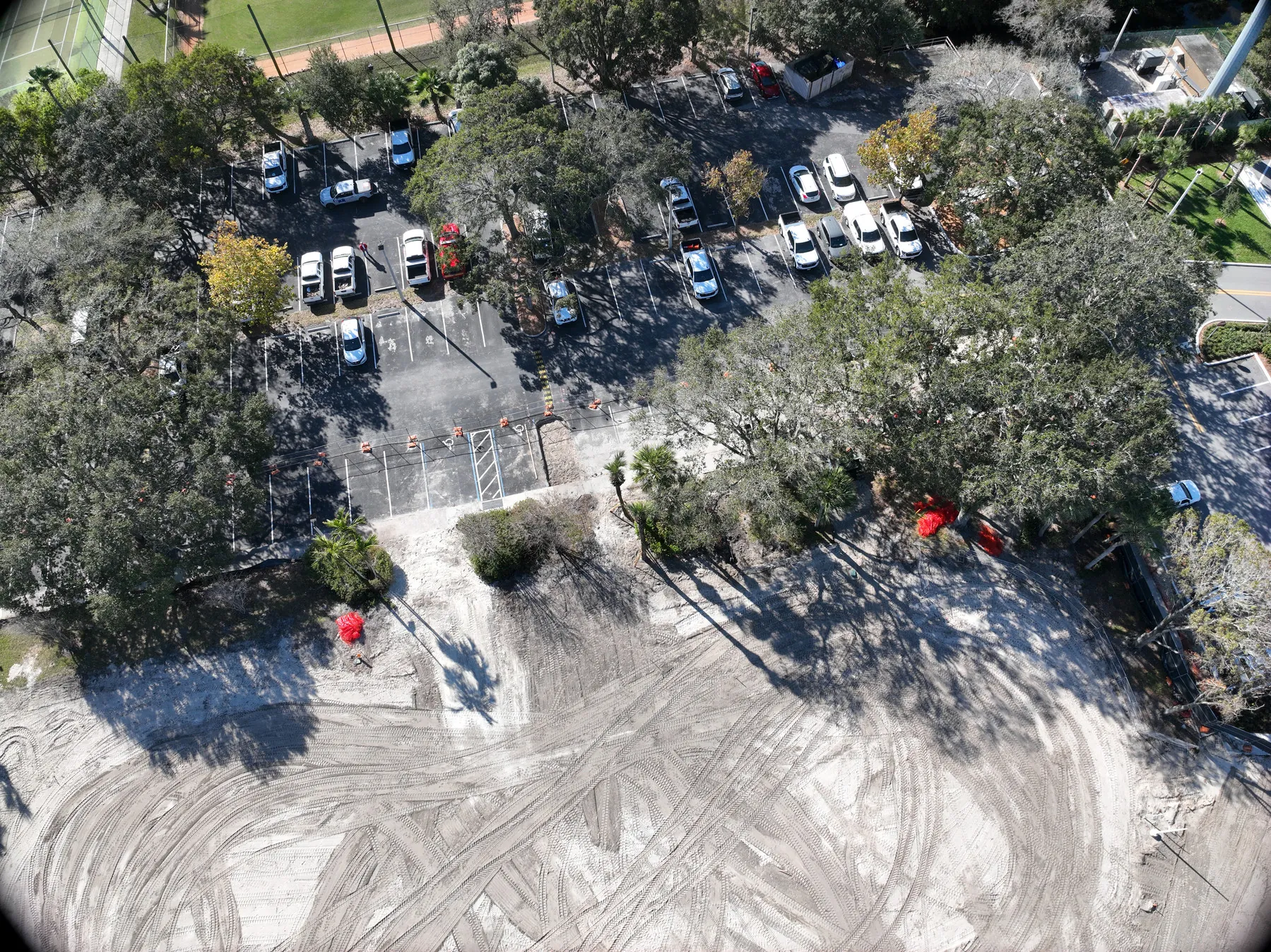
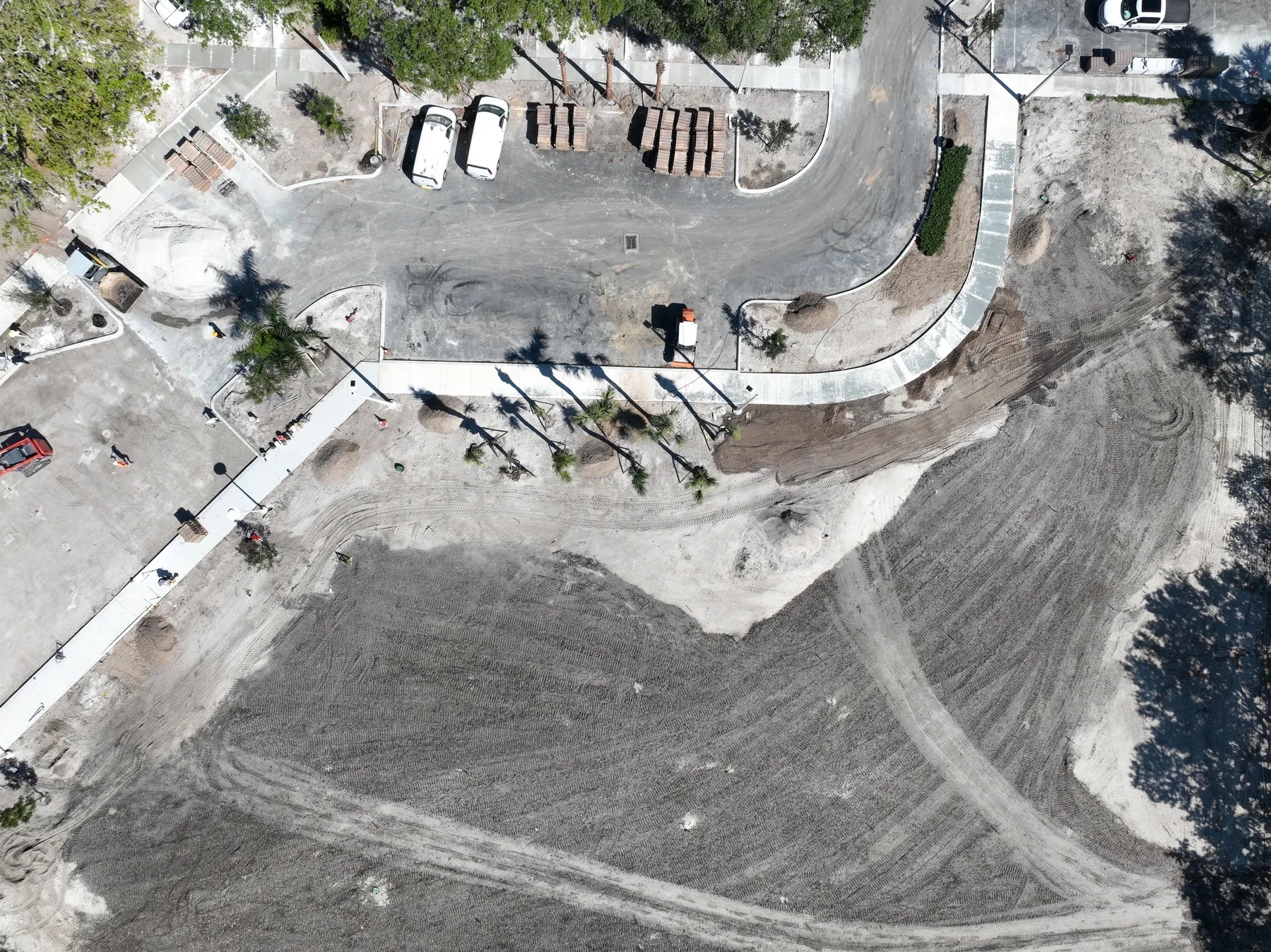
Start with the part of the site the final reference needs to cover. A current plan, marked image or short description can identify project limits, features to include, restricted areas and the people who will use the finished files. That detail helps match the flight height, overlap and image sequence to the assignment.
Weather, active equipment, people, temporary structures, traffic, airspace and available launch areas all affect a flight. Project coordination makes the work safer and helps avoid a map that is immediately less useful because the relevant area was blocked, in shadow or changing during capture.
The final handoff should match the project conversation. Some teams need a broad overhead image that can be circulated quickly. Others need a dated set of aerial views paired with construction progress photography or other field documentation. Organizing the delivery around the project and capture date makes the material easier to find when the site has changed again.
The strongest aerial mapping work is scoped around a real next step: a site review, an owner update, a construction milestone, a property discussion or a planning decision. That keeps the final imagery useful long after the flight is complete.
Drone mapping is most helpful when the question starts with location, scale or site-wide context. An overhead reference can bring the entire area into view and make it easier to orient a remote stakeholder, compare site conditions or identify where a closer review should begin. It is often the best fit when the site is too large or complex for a ground-level photo set to communicate clearly.
Construction progress photography is often the better choice when a team needs a visual timeline that shows how the work changed from one visit to the next. It can include a broad overview, but it is designed around repeatable views and milestone documentation. The two services can work together: mapping establishes a shared site reference, while progress photography adds the perspective and selected detail that makes a current condition easier to explain.
Commercial aerial photography serves a different audience again. It can show a property, project or place in a polished and accessible way for an owner update, leasing conversation, presentation or public-facing story. The same flight may include mapping-style coverage when it helps the assignment, but the final selection should be shaped by how the images will be used rather than by a one-size-fits-all package.
Thermal aerial imagery is used for focused visual screening where temperature patterns may help direct a closer review. It should be planned around appropriate conditions and used with visible-light context. For roof, equipment or solar work, thermal capture can complement a broader aerial map, but it does not identify the cause of a condition or replace assessment by the qualified professional responsible for that system.
Before requesting drone mapping services, gather the basics: site address, coverage area, desired timing, intended use, project contact, access information, active hazards and any priority features. A plan, site image or previous aerial photo can be especially helpful. West Boca uses that information to recommend a focused capture plan and an organized delivery that fits the people making the next decision.
Drone mapping can provide a broad, current overhead view of a project site for planning, progress documentation, property context, stakeholder communication and project records. The right output depends on the decision the team needs to support.
An orthomosaic is a stitched aerial image designed to show a large area in a consistent overhead view. It can make roads, buildings, site features and changing work areas easier to review together than separate perspective photographs.
No. Aerial mapping is useful visual and project documentation, but it does not replace boundary, elevation, legal or construction survey work performed by the appropriate licensed professional. West Boca can coordinate capture around the reference a project team needs.
Share the site address, the area to cover, the question the map should help answer, timing, access instructions, active hazards, required file format and any existing plans or reference images. That information helps define the right flight and delivery.
Put the whole site in view.
Request mapping coverage →