Drones for Solar Panel Inspection: A Practical Guide
How commercial solar teams can plan aerial and thermal coverage that creates a useful inspection record and a clearer next step.
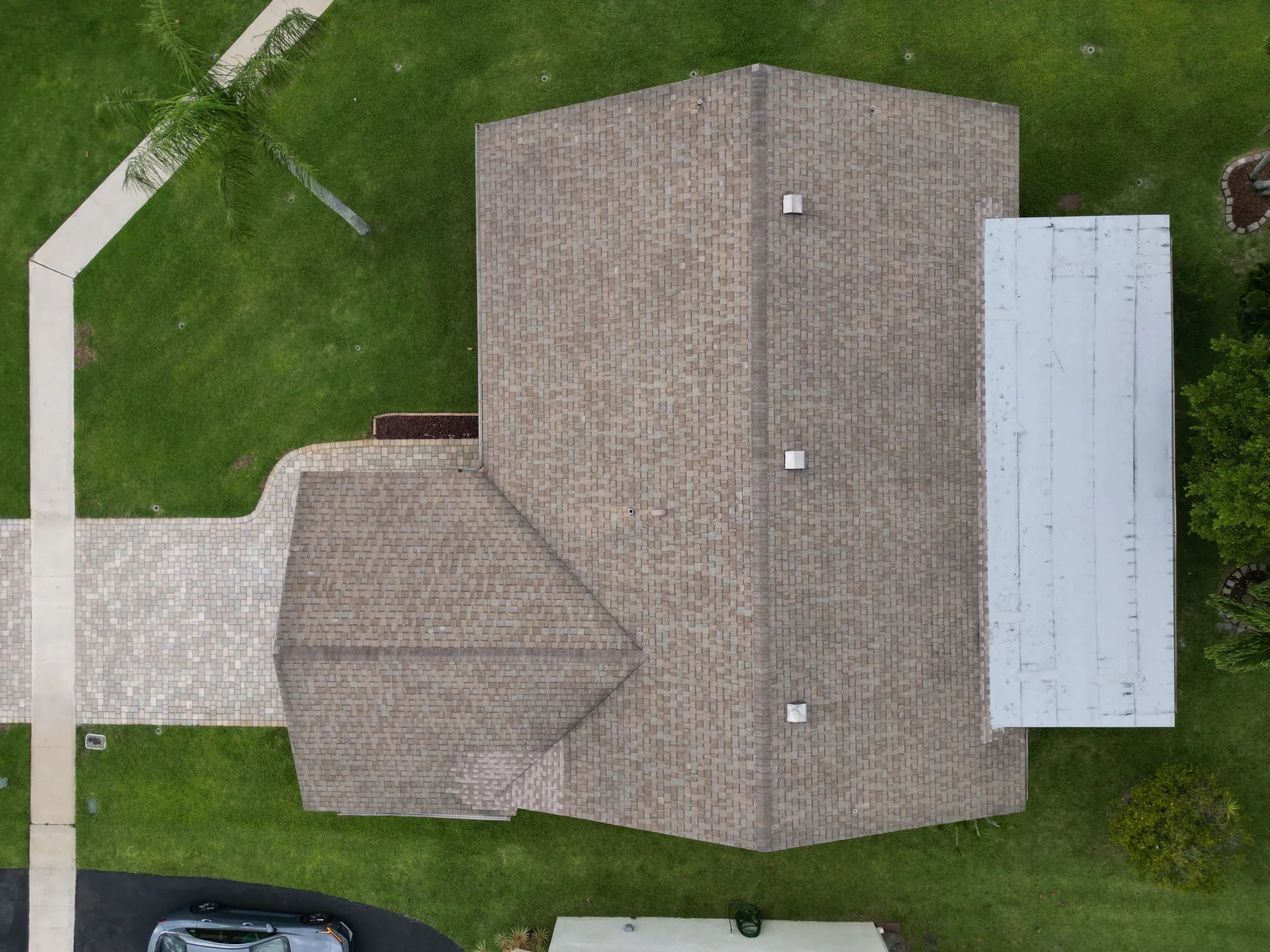
Drones for solar panel inspection are most useful when they help a property or maintenance team answer a specific question. A commercial roof may be difficult to access. A large array may be too time-consuming to understand from the ground. A manager may need a current visual record after a storm, before planned maintenance or when production data points to an area that deserves attention. Aerial coverage can give those conversations a much clearer starting point.
The best result is not a dramatic set of thermal images. It is an organized record that shows the full array, identifies the parts of the site that matter and gives the right technician enough context to investigate further. Visible-light imagery can show layout, debris, shade, access and obvious surface conditions. Thermal imagery can add relative temperature context. Neither image type, on its own, diagnoses an electrical fault or replaces hands-on testing by a qualified solar professional.
This guide explains how to decide whether a drone visit fits the question, how to plan a useful capture and what to ask for in the delivery. It is written for commercial property owners, facilities teams, solar operators and project partners who need better visual information without asking a camera to make a conclusion it cannot support.
Start with the maintenance question
Before selecting equipment or setting a flight date, state the decision the images need to support. That may be: document the array after severe weather, give a contractor a current roof-and-array overview, screen a broad area before a maintenance visit, establish a repeatable baseline or locate the physical context around a reported concern. A flight planned around one of those goals gives the resulting images a job to do.
A useful brief includes the property address, array layout, site contact, roof access details, active work, known restrictions and the specific parts of the system that matter. Production notes, inverter alerts, recent cleaning records, a roof plan and ground-level reference images can all help a pilot understand where to begin. They also make it easier to separate a broad visual record from a focused review of a known location.
For example, an owner who needs to understand storm exposure may prioritize wide views of the array, roof edges, drains, nearby trees and access points. A maintenance team responding to a reported issue may need a clear overview of the relevant row or section, then closer visible-light and thermal views from comparable positions. The site's solar panel inspection service is designed around that kind of practical, decision-led scope.
Know what a drone can document
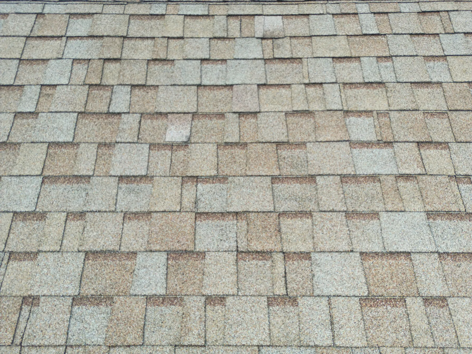
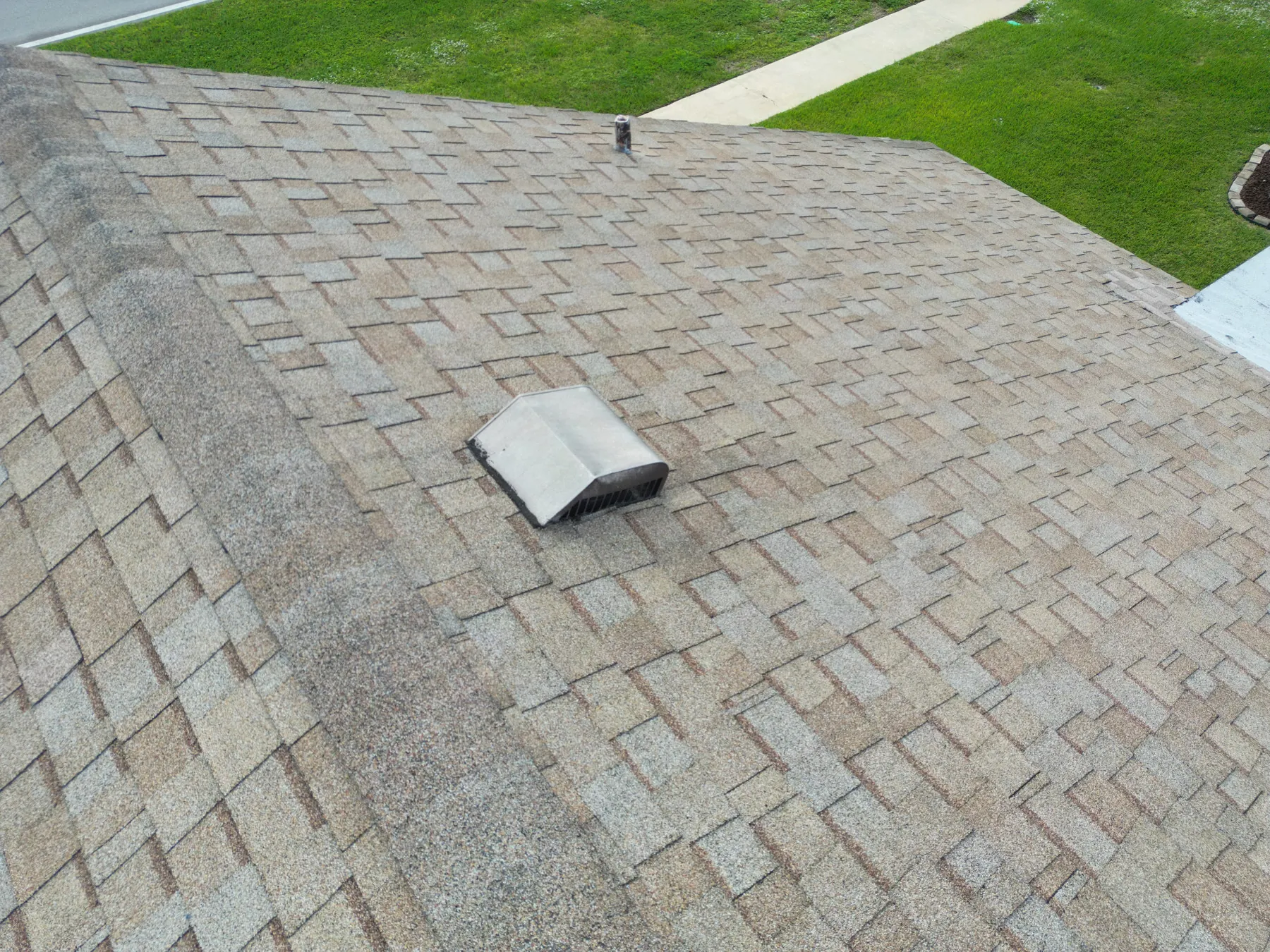
Aerial imagery is especially good at connecting detail to context. A high overview can show the position of the array within the roof or property. Medium-height views can divide a large installation into understandable zones. Closer images can document visible debris, shade, panel layout, roof features, equipment, access paths or an area that appears different from nearby surfaces. That wide-to-close sequence helps someone who was not present find the same area later.
The camera does not see inside a module, verify a connection, measure electrical output or prove the cause of a temperature difference. A visible mark may be dirt, glare, shadow or a surface change. A thermal pattern may be influenced by sunlight, wind, recent rain, loading, panel angle, reflected heat or the camera setup. The strongest language in an aerial record describes what is visible, states where it appears and points to the appropriate next review.
This distinction is not a limitation to hide. It is what makes the record credible. A phrase such as “warmer pattern in the south-facing row near the rooftop unit” gives a solar technician a location and a useful observation. A phrase that declares a failed module skips the verification that a qualified reviewer still needs to perform. The drone inspection report guide explains how image pairs, labels and overview views make that handoff easier.
Plan visible-light and thermal capture together
Visible-light and thermal images answer different parts of the same question. A standard image helps a reviewer recognize the physical scene: panel rows, roof lines, curbs, drains, shade sources and nearby equipment. A thermal image can show a relative surface-temperature pattern in that same area. When the two are captured from comparable positions and delivered together, they are much easier for a maintenance team to locate and interpret responsibly.
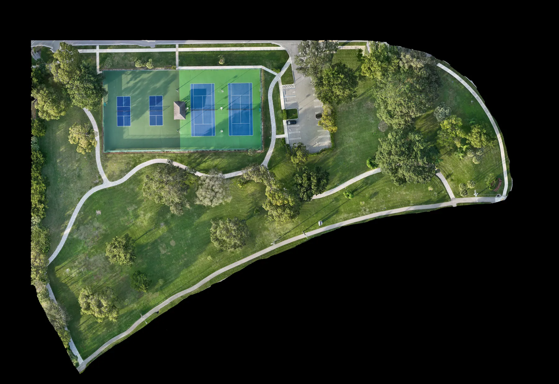
Start with a simple coverage sequence: full-property or full-roof overview, clear views of each array section, then closer images of the areas that need attention. Name the sections using labels the site team already understands, such as roof zone, row, inverter area or building side. That means a technician does not have to reconstruct the location from an isolated image days later.
Thermal work should be planned around conditions, not added as an afterthought. Confirm the system's operating state, recent weather, time of day, anticipated cloud cover, wind and any temporary shading or construction activity. If those conditions do not support the question, a visible-light record may still be worthwhile while the thermal portion is scheduled for a better window. The solar panel thermal inspection guide covers why those conditions change the meaning of a thermal image.
Build a safe flight plan around the site
A commercial solar inspection starts with conditions on the ground. The pilot needs a safe launch and recovery area, a clear site contact, access instructions and awareness of people, vehicles, rooftop hazards, active contractors and restricted areas. Those details influence what can be captured safely and whether the flight should happen at all. They also keep the visit from disrupting tenants, maintenance activity or a busy property.
Commercial drone operations in the United States must follow the Federal Aviation Administration's Part 107 rules, including the applicable airspace and visual-line-of-sight requirements. A clear view of panels is not the same as a clear, safe flight plan. Controlled airspace, site activity and changing weather can affect the route and timing, so they belong in the planning conversation rather than being discovered after arrival.
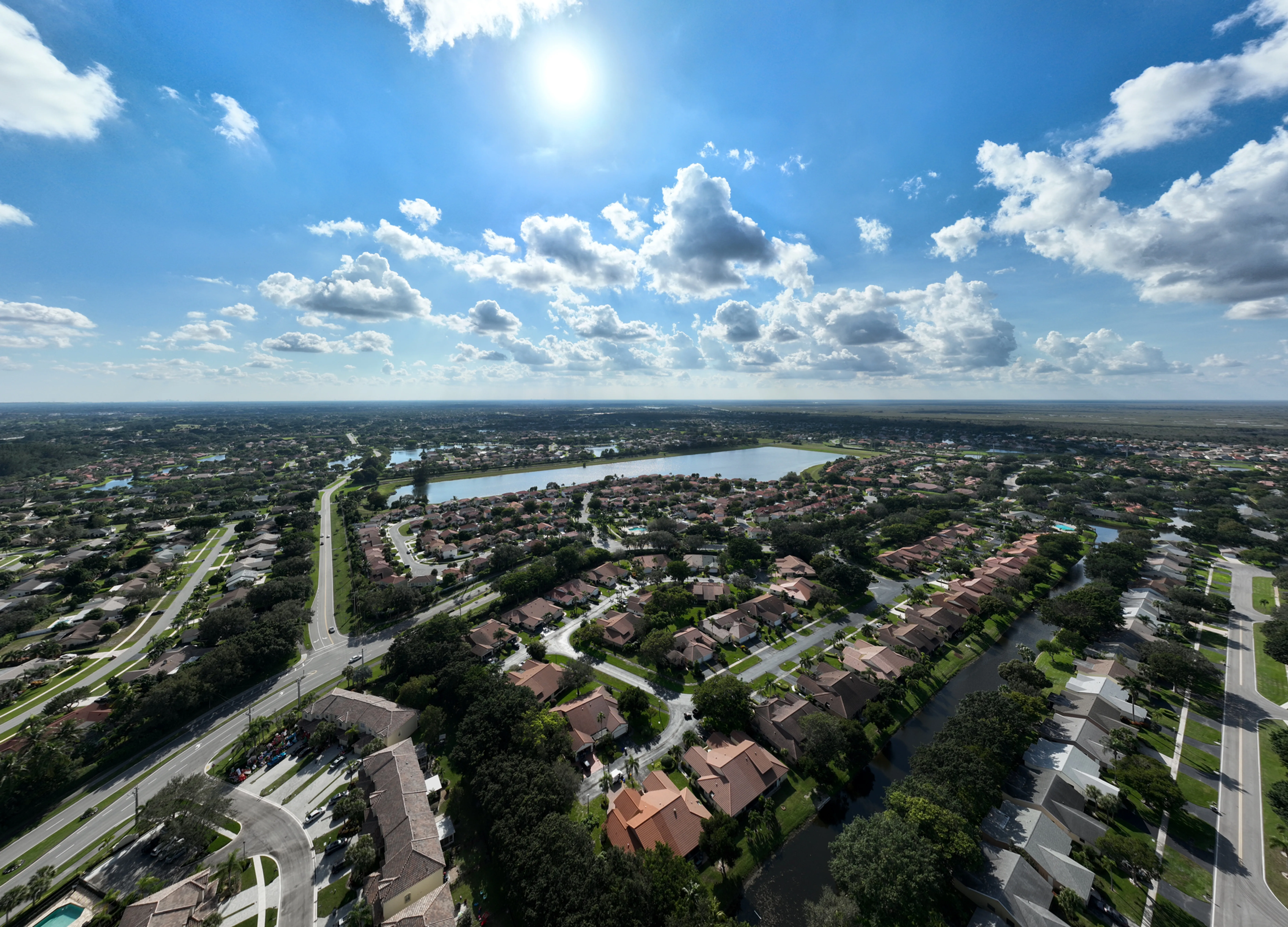
For a commercial property, it also helps to establish where the pilot will stand, which array sections can be seen from that position and whether a visual observer or another safe vantage point is needed. This is particularly important around large roofs, nearby airports, utility infrastructure and sites where a building can obstruct a direct view of the aircraft. West Boca's pilot credentials provide useful context before a project-specific plan is prepared.
Use thermal imagery as a screening layer
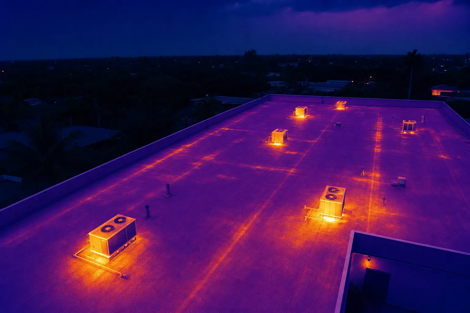
Thermal imagery records differences in infrared energy that appear as temperature patterns. On a solar array, that can help a team see an area that appears warmer or cooler than nearby panels under the conditions of the flight. The image may be useful for directing attention to a row, module area or component that deserves closer review. It becomes more useful when the delivery also includes a standard image, a location reference and notes about the conditions at capture.
It does not identify a root cause by itself. A temperature pattern may be consistent with several possible conditions, and the answer depends on the system, its operating state and a qualified follow-up. Electrical testing, production data, physical inspection and the judgment of a solar technician are what turn a visual observation into a repair decision. That is why a well-scoped flight is an efficient first layer of review, not a replacement for the rest of the maintenance process.
For teams that also need roof or equipment context, the thermal inspection capability can be combined with high-resolution aerial photography. The goal is to give the next reviewer a clearer location and a better question, rather than a folder of heat maps without a practical path forward.
Organize the delivery for the next person
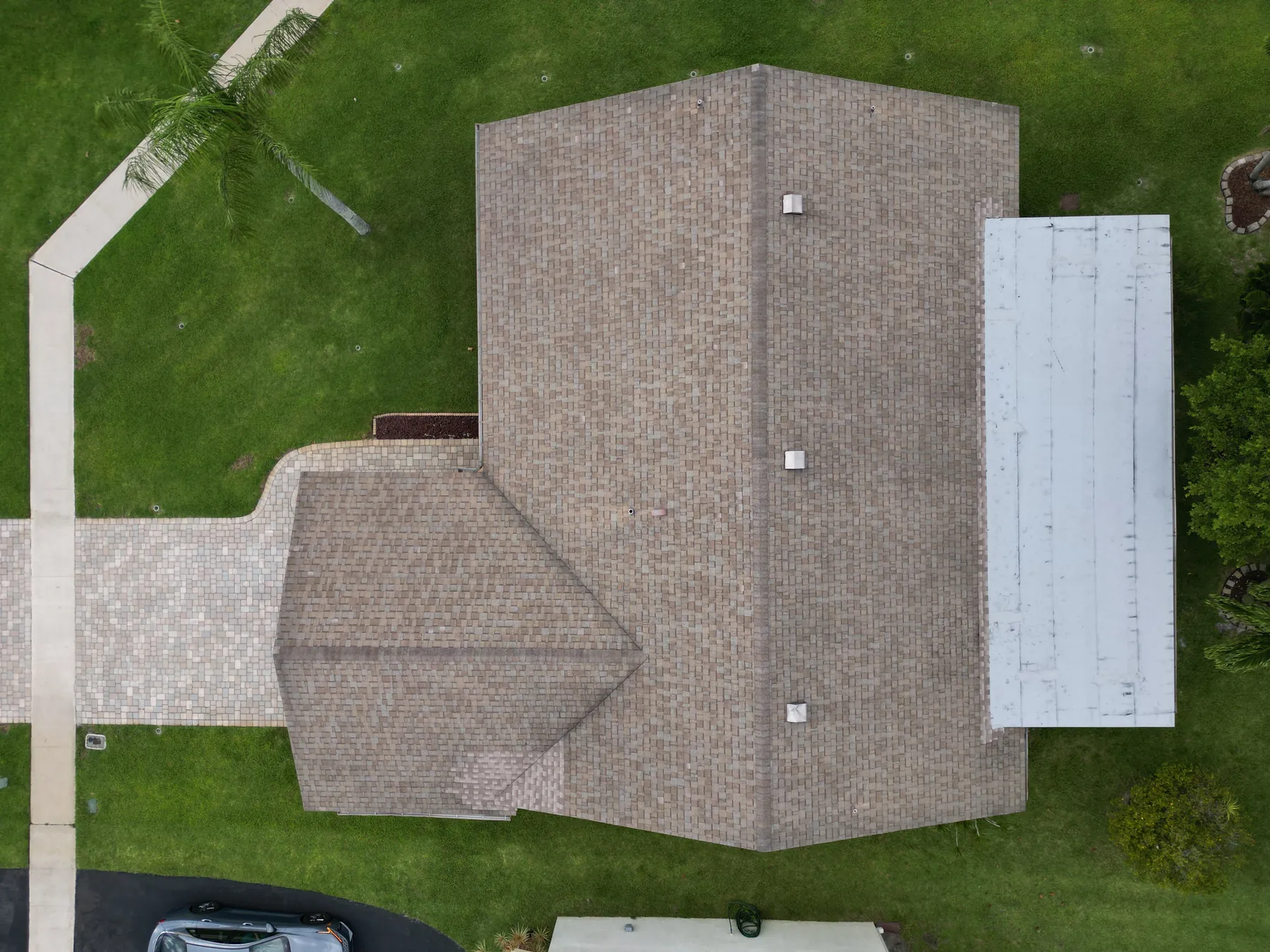
The value of the flight is often decided after the aircraft lands. Ask for the images to be grouped by property, date and array or roof section. Begin each sequence with an overview, then move to medium and close views. If a specific area needs follow-up, include a clear location reference before the detail image. A concise note can identify the visible observation and the next practical action, such as review with the maintenance team or inspection on foot.
The format should fit the audience. A facilities manager may need an organized library and a short issue-led summary. A solar contractor may need more closely paired visible and thermal images. An owner may need a small set of overview images for a planning meeting. Defining that recipient before the flight prevents a common failure: technically good images that cannot be used quickly by the people who need to act on them.
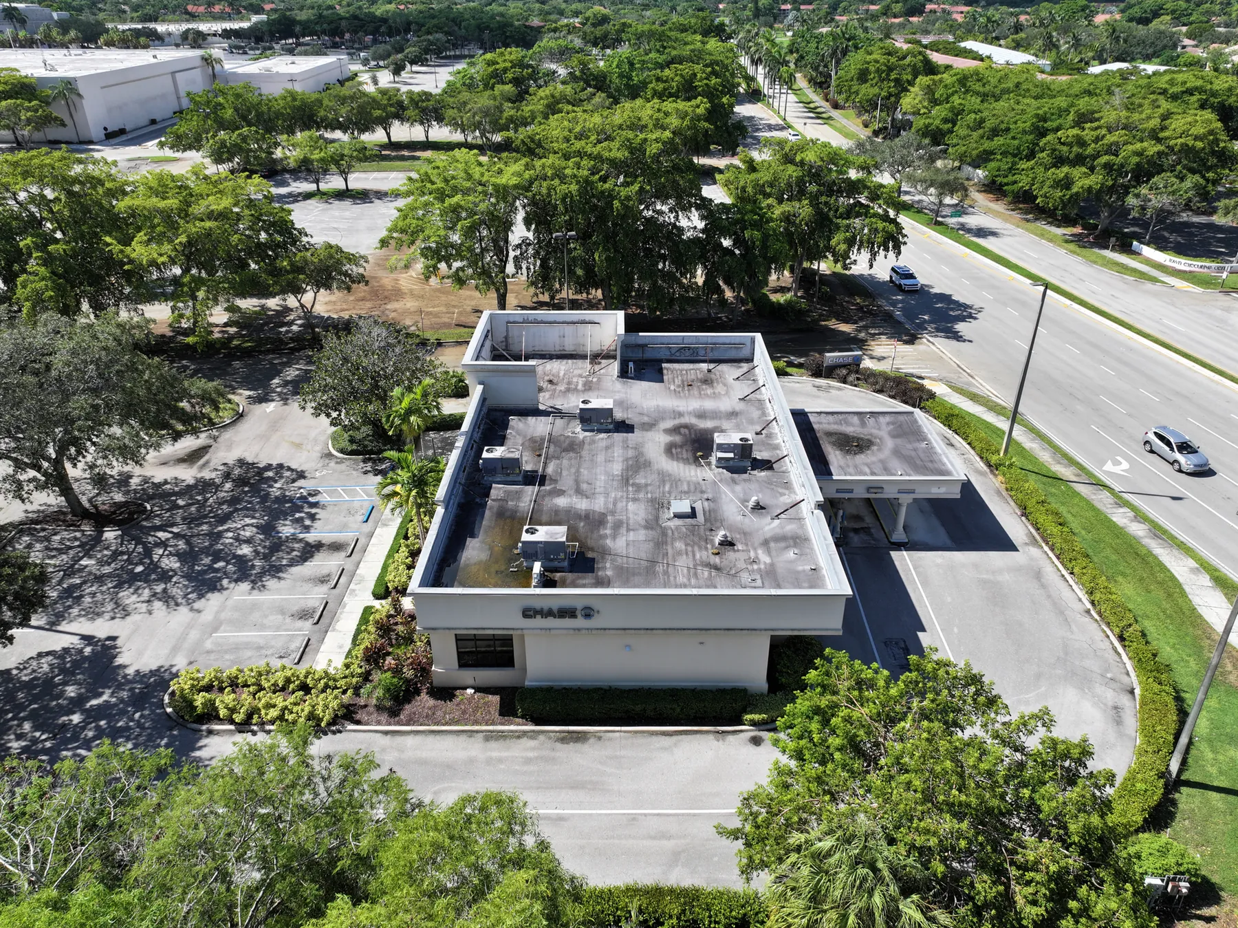
Repeat coverage benefits from a small set of reference views captured from comparable positions over time. Those views make it easier to discuss how a site changed, while allowing the pilot to add new close images when a concern appears. The roof inspection field work shows how broad roof context and closer visual records can work together on a commercial property.
Choose the right occasions for an aerial review
A drone visit can be helpful after severe weather, before a maintenance planning meeting, during due diligence, when access is difficult, before work changes the condition of a roof or array, or when several people need to review the same exterior site without putting everyone on the roof. It can also provide a useful current baseline for a property with a large or complex layout.
It is not the right tool for every question. If the decision requires electrical diagnosis, internal module testing, certification, repair design or a code determination, the relevant qualified professional should lead that work. Aerial imagery is most valuable when it makes that specialist's first visit more informed, with a clear location and a stronger sense of what needs investigation.
For a broader commercial property record, the drone property inspections guide explains how to plan roof, building, parking and access imagery around a visible question. For sites that need a consistent overhead reference alongside perspective views, construction and mapping coverage can provide a different kind of site context.
How West Boca Aerial Photography helps solar teams
West Boca Aerial Photography plans solar coverage around the decision the images need to support. Assignments can combine high-resolution aerial photography, thermal capture, wide property context, closer views and an organized delivery that helps the next reviewer find the right area quickly. The practical focus is a clear visual record, not an unsupported diagnosis.
A good starting brief includes the site address, array or roof plan, reason for the review, priority locations, access details, active conditions, recent weather and the person who will review the results. The team can then match the capture sequence to the site and the handoff to the people who need it. To discuss a planned visit, use the project enquiry page and share the question the imagery needs to answer.
Frequently asked questions
What can drones for solar panel inspection show?
Drones can document array layout, visible debris, shade, roof context, access conditions and relative temperature patterns. They are most useful when the images are organized from a broad overview to the specific areas a maintenance team may need to review more closely.
Do solar panel inspections by drone need thermal imagery?
Not every assignment needs thermal imagery. Visible-light capture can be the right choice for a current visual record, storm documentation, layout review or an access question. Thermal imaging adds value when a team needs relative surface-temperature context and can plan the flight around suitable conditions and qualified follow-up.
Can a drone identify a faulty solar panel?
A drone can document a visible condition or a thermal pattern that may deserve closer attention, but it cannot confirm the cause of a problem by itself. Electrical testing, system data and a qualified solar technician are needed to diagnose a fault and decide on a repair.
What should I provide before a drone solar inspection?
Provide the site address, array or roof plan, site contact, access instructions, active hazards, restricted areas, the reason for the review and any known areas of concern. Recent weather, maintenance notes, system alerts and reference images can also make the final record more useful.
Related posts
Drone Roof Inspection: What It Can and Cannot Show
A practical guide to planning aerial roof imagery, understanding its limits and getting a useful record for the next decision.
Read the guide →
Drone Inspection Report: What to Ask For
A practical guide to turning aerial imagery into an organized record that helps property and project teams decide what happens next.
Read the guide →Solar Panel Thermal Inspection: What a Drone Can Show
A practical guide to planning thermal aerial coverage, reading the images responsibly and directing the right follow-up.
Read the guide →