Drone Property Inspections: A Practical Planning Guide
How property teams can plan aerial coverage that creates a clear visual record, supports qualified follow-up and stays useful after the flight.
Drone property inspections are most useful when they answer a specific question about a site. A facilities manager may need a broad view after severe weather. A commercial owner may want an organized record before maintenance work begins. A buyer may need current exterior context during due diligence. A contractor may need clear images that help a specialist find a roof section, facade feature or equipment area before arriving on site.
The value is not simply that a camera can fly higher than a ladder. It is that aerial imagery can connect a close observation to the rest of the property. When the flight is planned around the decision at hand, a property team receives a record that makes a follow-up conversation faster and more grounded.
This guide explains how to scope a drone property inspection, what to request in the finished delivery and where aerial imagery should stop so the right trade professional can take over. It is written for commercial property owners, facilities teams, managers and project partners who need a clearer view of an exterior site without overstating what a photograph can prove.
Start with the decision, not the aircraft
The best first question is simple: what should the images help someone decide? A property team might need to prioritize roof areas for a qualified review, document a visible condition after a storm, establish a baseline before a tenant improvement, record exterior equipment, show truck access and drainage paths or create a visual reference for an owner who is not on site. Those requests call for different viewpoints, so they should not receive the same generic flight.
Write the purpose in a sentence before scheduling. For example: "Document the north roof and loading area after the storm," or "Create a current exterior record for a maintenance planning meeting." That statement gives the pilot a practical shot list and gives the person reviewing the images a clear reason for the visit. It also helps identify what information should come from a roofer, engineer, electrician or other qualified professional instead of the drone camera.
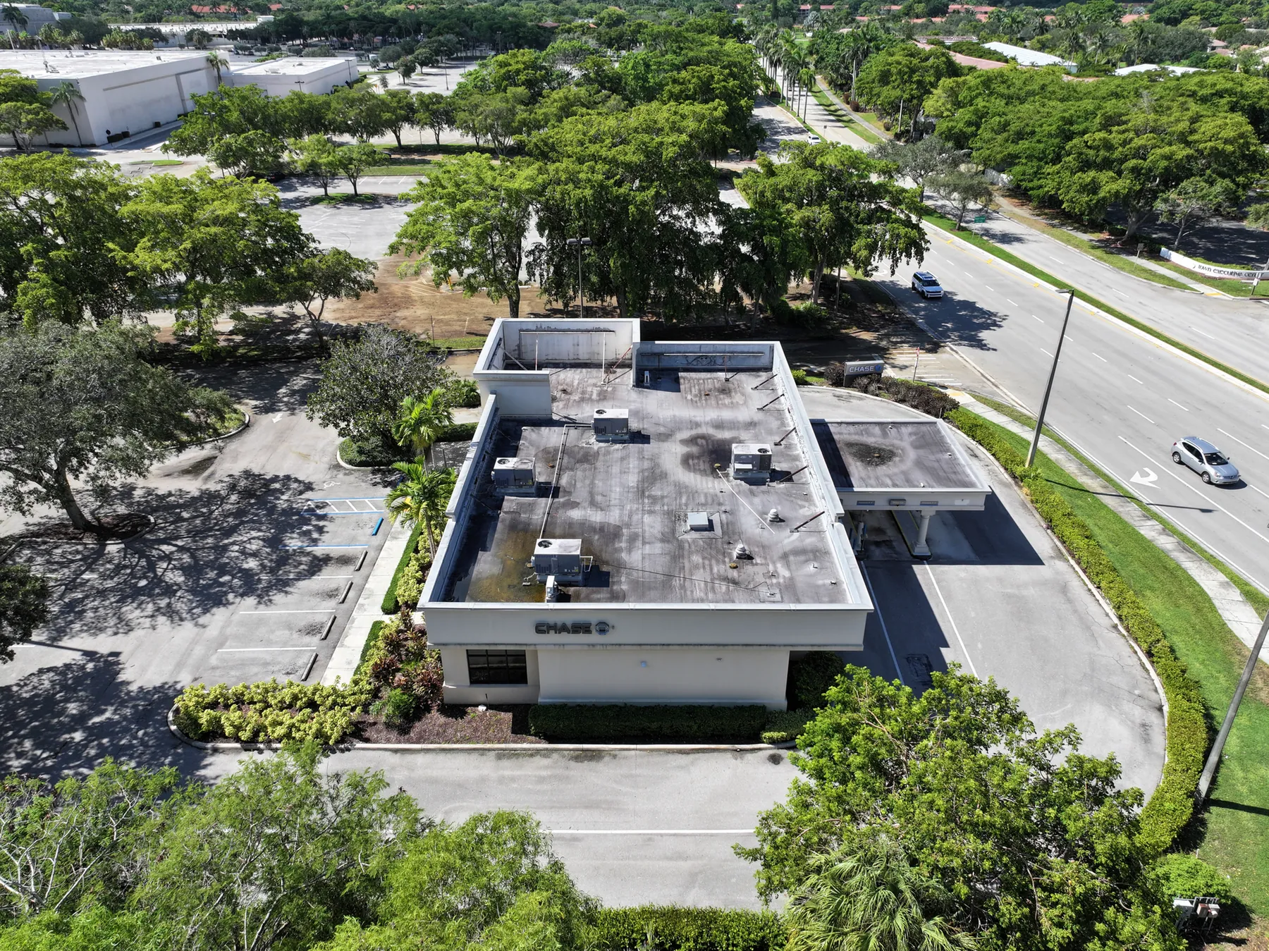
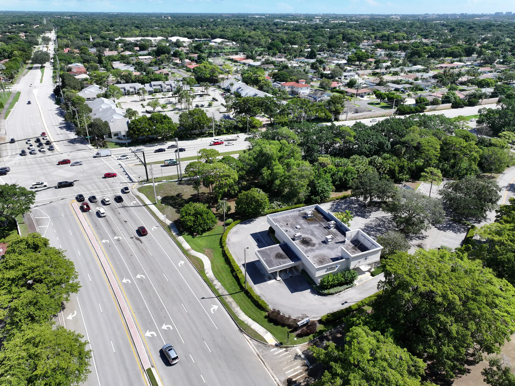
For a larger commercial site, the Chase Bank and parking inspection field work shows why the broad overview matters. A close image can show a visible condition, but the overview is what lets a reviewer place it beside access routes, roof zones, equipment and surrounding site features.
Define the coverage from wide context to close detail
A useful property inspection delivery usually follows a simple visual sequence. Begin with high, wide images that establish the entire property. Add section views that divide a large roof, parking lot, exterior wall or equipment yard into understandable areas. Then capture closer images of the locations that need attention. This overview-to-detail order keeps the record useful for the person who was not present during the flight.
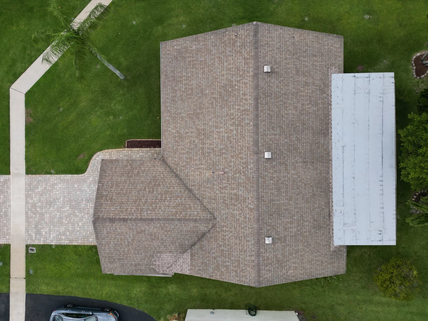
For a roof, that may mean a full building view, one image for each roof plane or major zone, then closer photographs of visible debris, standing water, edge conditions, penetrations or rooftop equipment. For a facade, it may mean an elevation view, a set of level-by-level images and focused views of the visible area. For a site question, it could include access points, pavement, drainage, landscaping, signage and the relationship between buildings.
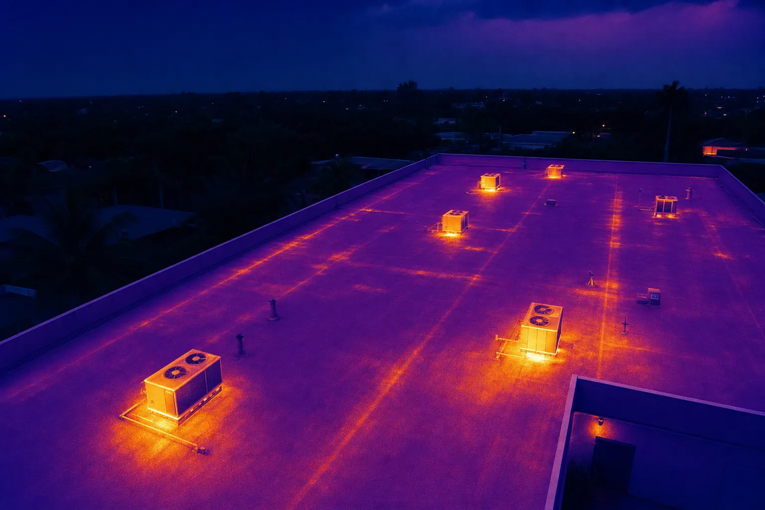
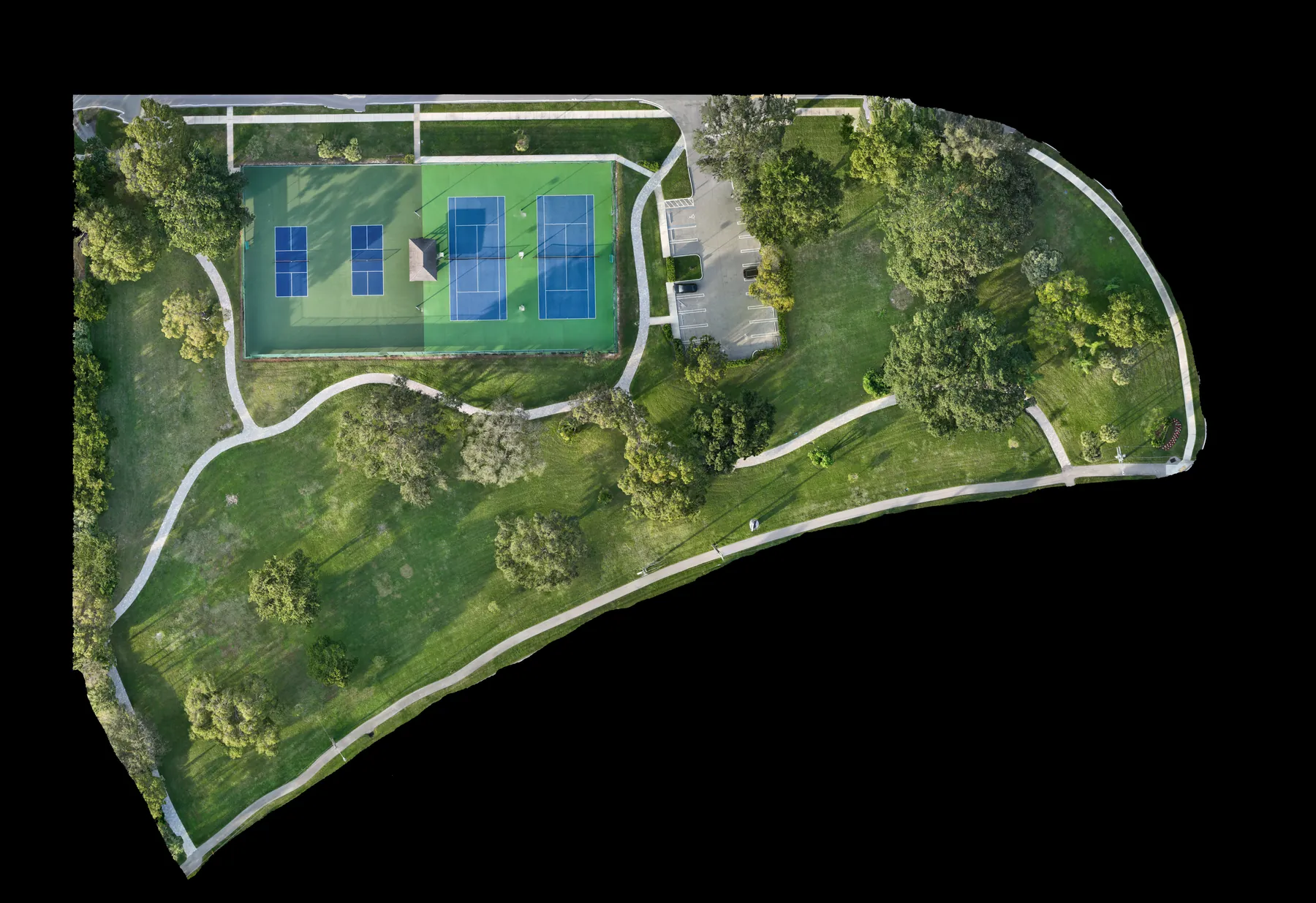
This is also where the requested deliverables matter. Perspective photography is often best for visible context and detail. A planned mapping capture can add an orthomosaic or consistent overhead reference when a broad site needs a shared point of orientation. Video can be useful for an owner update, but it should complement the still images that people can review, label and revisit easily.
Share the information that makes the flight more useful
The flight plan gets stronger when the property team shares its working knowledge before the visit. Provide the address, a site contact, access instructions, operating hours, restricted areas, active work, preferred parking or launch locations and any site rules that apply. A roof plan, site plan, maintenance note, previous report or ground-level reference photo can help the pilot understand the location of a concern without guessing.
It is equally useful to identify what should not be photographed. A property may have tenant areas, sensitive equipment, active deliveries or people who should not appear in the record. A short conversation before the visit is much easier than trying to remove an important image after the fact.
Commercial flights still need to fit the site and the airspace around it. The Federal Aviation Administration's commercial operator guidance provides the baseline for business flights. A pilot also needs a position that supports the FAA's visual-line-of-sight requirement, which can affect the route, the vantage points and the timing. In controlled airspace, authorization through the FAA's LAANC system may also affect the schedule.
Use aerial imagery as a visible record, not a diagnosis
A drone can document visible conditions. It can show a roof area that appears to hold water, debris near a drain, a damaged-looking edge, surface discoloration, a facade feature, a blocked access path or a difference between two dates. It can also help a reviewer find the same spot later. That is valuable information, especially on a large or hard-to-reach property.
What the image cannot do is confirm the hidden cause. Aerial imagery cannot determine whether a roof leaks, whether a drain is failed, whether an electrical component is defective, whether a structure is sound, whether a condition meets code or whether a repair is required. The proper next step is to use the image to guide a qualified hands-on review, testing or professional assessment when the question requires it.
Clear language keeps the record credible. A caption such as "visible debris near the northwest drain" describes what a reviewer can see. A caption that claims a drain is blocked or a roof is leaking goes beyond what the image proves. The site team's drone inspection report guide explains how labels, paired views and location references make that handoff easier without turning an aerial record into an unsupported conclusion.
Plan repeat visits around a consistent baseline
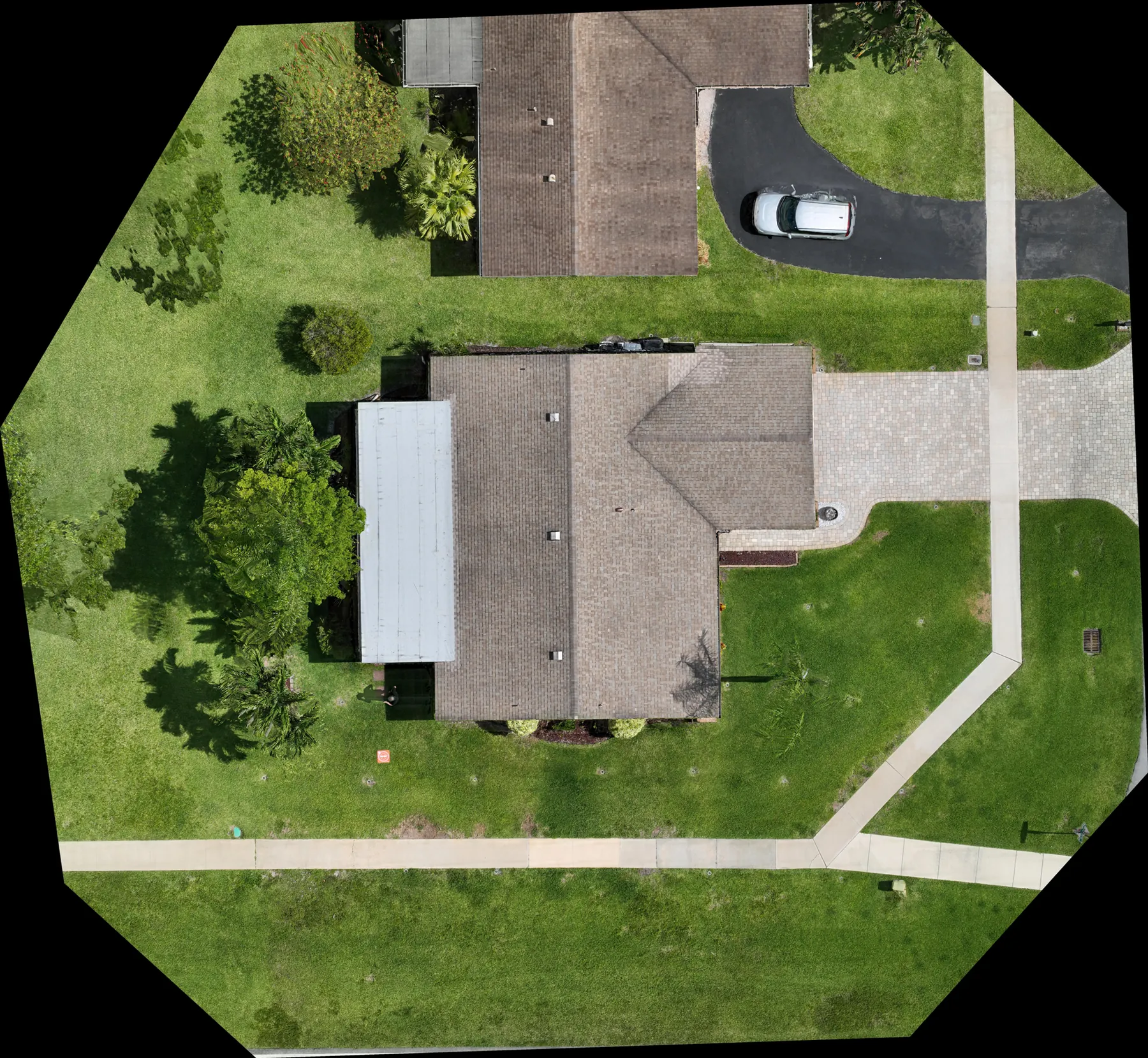
A single drone property inspection can answer an immediate question. Repeat coverage becomes more valuable when the property team wants to compare visible conditions, document ongoing work or maintain a dependable exterior record. The key is not to reproduce every image from the prior visit. It is to preserve a small set of useful reference views that can be repeated as closely as site conditions allow.
For example, a property may use one high overview, one view of each major roof zone, one exterior elevation and one approach to a loading area or equipment yard. Add new close images when a concern appears, but retain the baseline views so an owner, manager or contractor can quickly understand whether the overall context changed. Record the capture date and note meaningful limits such as weather, blocked access, construction activity or temporary equipment.
Comparison should stay disciplined. Different sun angles, wind, moisture, active equipment, landscaping growth and changes to the property can alter an image without proving that a condition improved or worsened. The goal is a clear visual record that supports the next review, not a substitute for measurement, testing or a qualified opinion.
Know when thermal imaging adds value
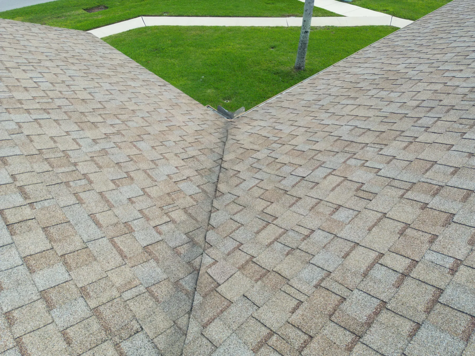
Thermal imaging can add another layer of context when a property team needs to screen a roof, exterior equipment or solar array for relative surface-temperature patterns. The most useful thermal work is planned around the question, the weather, the material, the timing and the person who will review the result. A visible-light image of the same area helps the reviewer understand where the thermal pattern belongs.
A temperature difference is not a diagnosis. Sun exposure, wind, material type, reflected heat, recent weather and equipment operation can all affect what the camera sees. Thermal images can flag a location worth a closer look, but a roofing, mechanical, electrical or solar professional remains responsible for determining the cause and the corrective action.
For a deeper look at that process, the aerial thermal imaging guide explains how paired thermal and visible-light capture can support a disciplined review. Properties with solar arrays can also use the solar panel drone inspection service as a starting point for a planned visual and thermal record.
Make the finished property record easy to review
The delivery is where the inspection becomes useful beyond the day of the flight. Ask for images organized by property, date and area. The names do not need to be complicated, but a reviewer should be able to tell whether a file shows the north roof, loading side, equipment yard or a particular exterior elevation. For a larger property, a short index or a few labeled overview images can save a great deal of time later.
Pair close views with context. If an image shows a visible concern, include a broader image that shows its roof zone, building side or nearby landmark. If the property will be reviewed again, preserve a handful of repeatable views so changes can be discussed from a familiar angle. When weather, access or active work prevents a planned capture, note that limitation rather than leaving an unexplained gap.
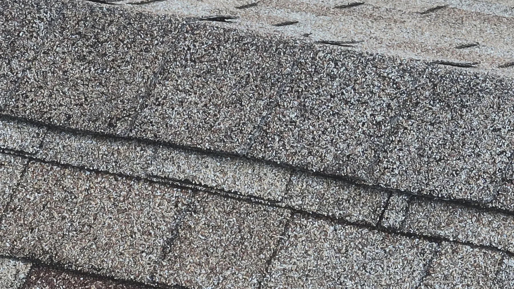
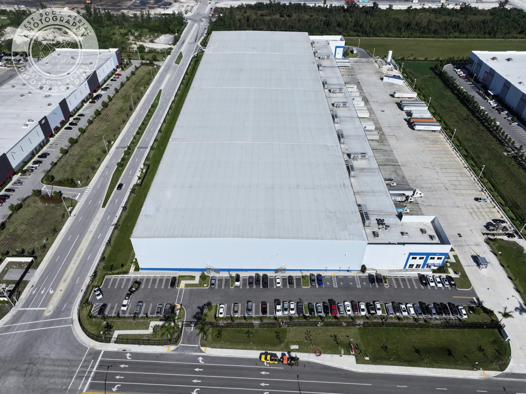
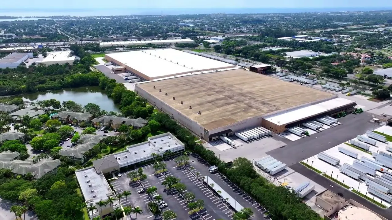
A clean record is also easier to share. An owner may need a concise set for a planning meeting, while a contractor may need the full collection and location context. A property manager may need both, plus a clear list of the people responsible for the next review. The roof inspection field work and commercial warehouse coverage show the practical value of connecting detailed images back to the full property.
How West Boca Aerial Photography supports property teams
West Boca Aerial Photography plans each assignment around the property, the visible question and the person who needs to use the result. Coverage can include high-resolution aerial photography, thermal imagery, repeatable overviews and organized delivery that moves from the whole site to the details that deserve a closer review.
A practical starting brief includes the address, the reason for the inspection, priority areas, access details, active site conditions, restricted areas and the decision the imagery needs to support. The thermal inspection capability, construction and mapping service and pilot credentials provide helpful context before building a site-specific flight plan. When the scope is clear, the finished imagery has a better chance of saving time for everyone who reviews it next.
Frequently asked questions
What can a drone property inspection show?
A drone property inspection can document visible exterior conditions such as roof areas, facade features, parking, drainage, access routes, equipment and overall site context. It is especially useful for creating an organized visual record that helps a property team decide where a qualified follow-up should focus.
Can a drone property inspection replace a roof or building inspection?
No. Aerial imagery can make visible conditions easier to document and locate, but it cannot confirm hidden causes, certify compliance, test materials or replace a qualified hands-on inspection. Use the images to guide the right professional to the right area.
What should a property manager provide before a drone inspection?
Provide the property address, a site contact, access instructions, operating hours, active hazards, restricted areas, the priority locations to capture and the decision the images need to support. Site plans, maintenance notes and reference photos can also make the finished record more useful.
When should thermal images be included in a property inspection?
Thermal images can be useful when a property team needs relative surface-temperature context for a roof, equipment or solar array. The timing and conditions matter, and the images should be paired with visible-light views and reviewed by the appropriate qualified professional when a diagnosis or repair decision is needed.
Related posts
Drone Roof Inspection: What It Can and Cannot Show
A practical guide to planning aerial roof imagery, understanding its limits and getting a useful record for the next decision.
Read the guide →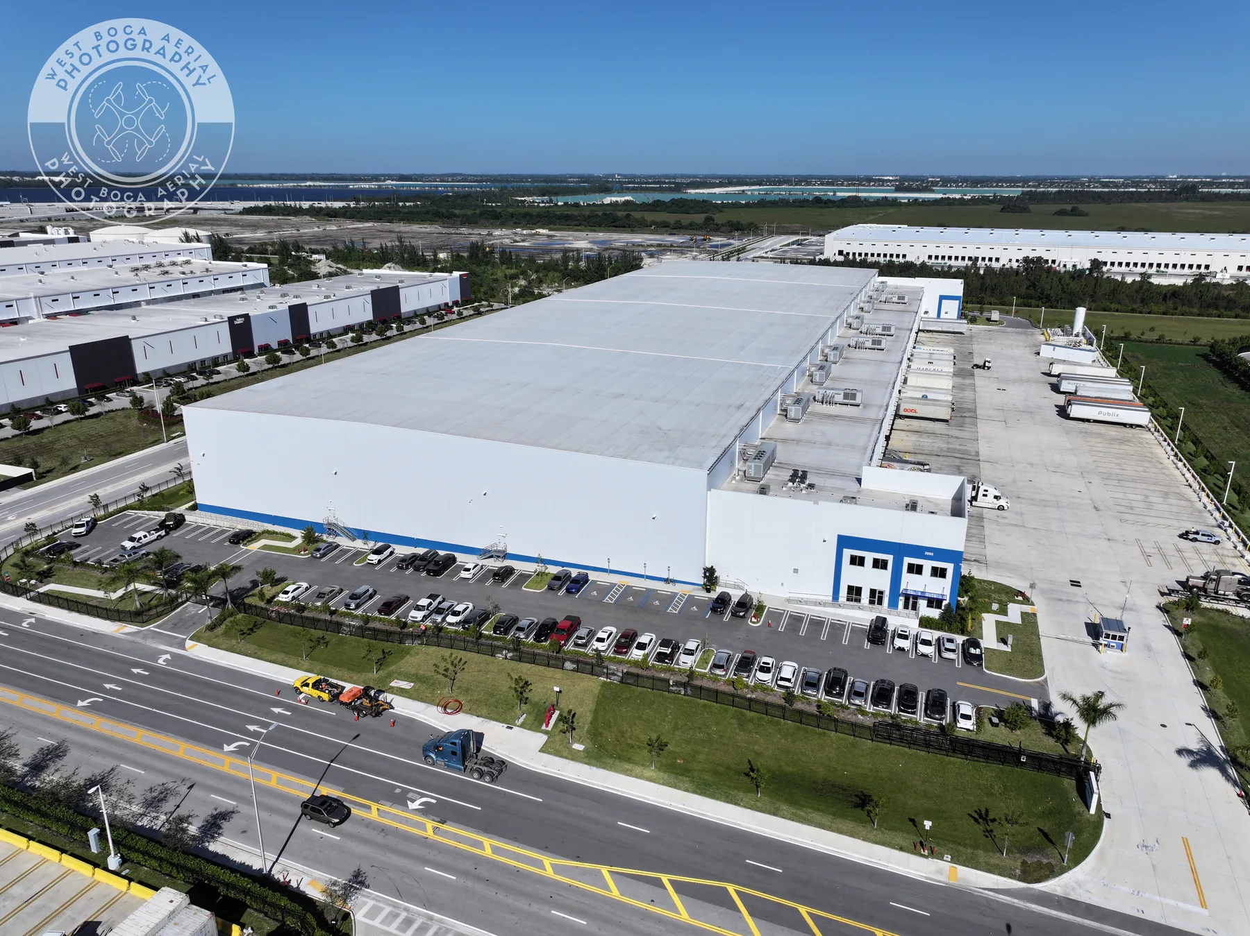
Drone Inspection Report: What to Ask For
A practical guide to turning aerial imagery into an organized record that helps property and project teams decide what happens next.
Read the guide →Solar Panel Thermal Inspection: What a Drone Can Show
A practical guide to planning thermal aerial coverage, reading the images responsibly and directing the right follow-up.
Read the guide →