Drone Video for Real Estate: A Clearer Property Story
How a planned aerial video can help a buyer, tenant or investor understand a property before the first visit.
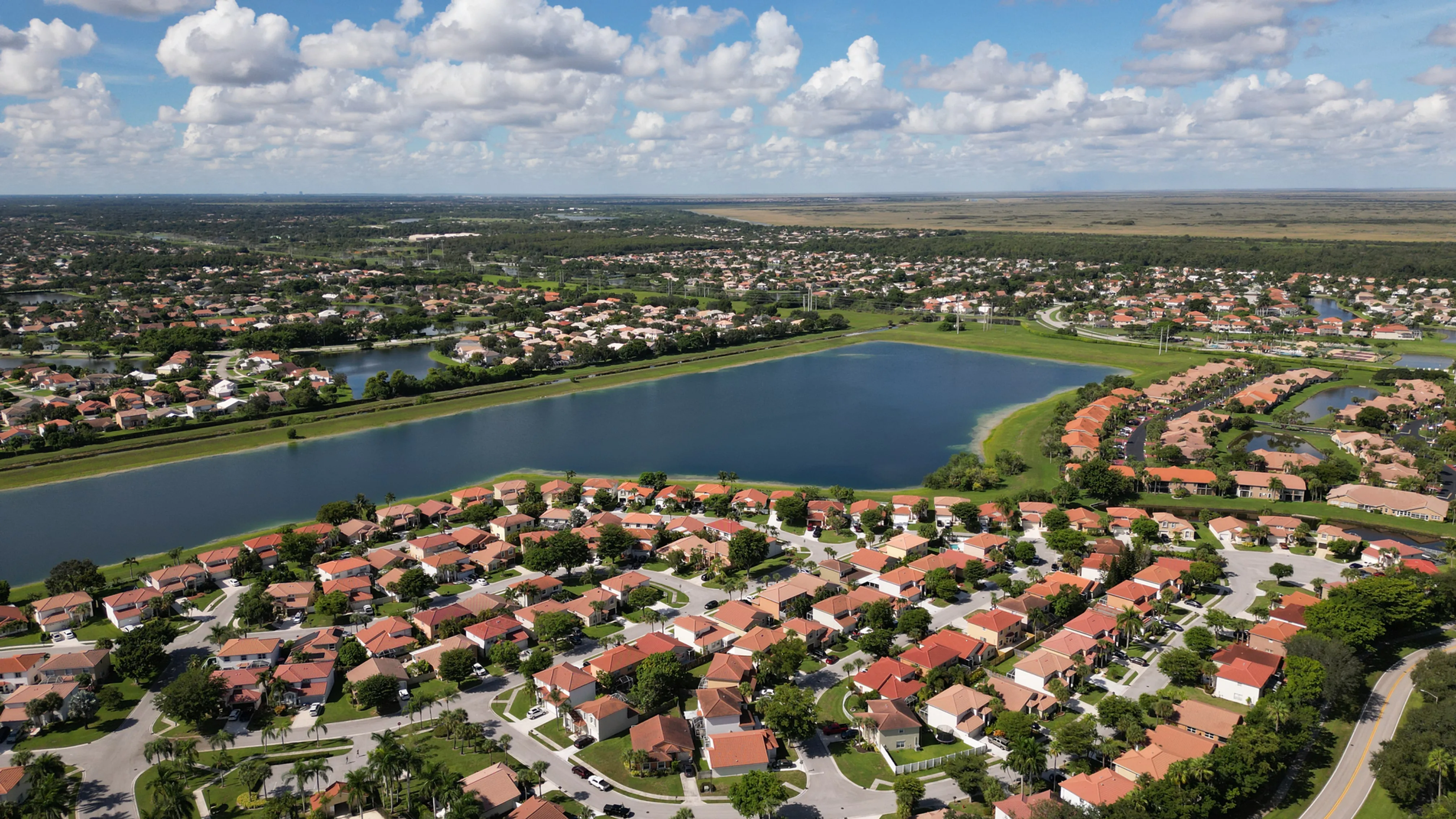
Drone video for real estate works best when it answers a question that still photography cannot answer as quickly: How does this property sit within its setting, and what will a visitor understand when they arrive? Aerial motion can connect the approach road to the building, show the relationship between a site and its parking or waterfront, or make the scale of a development easier to grasp. The point is not to add movement for its own sake. It is to give the right viewer a clearer first look.
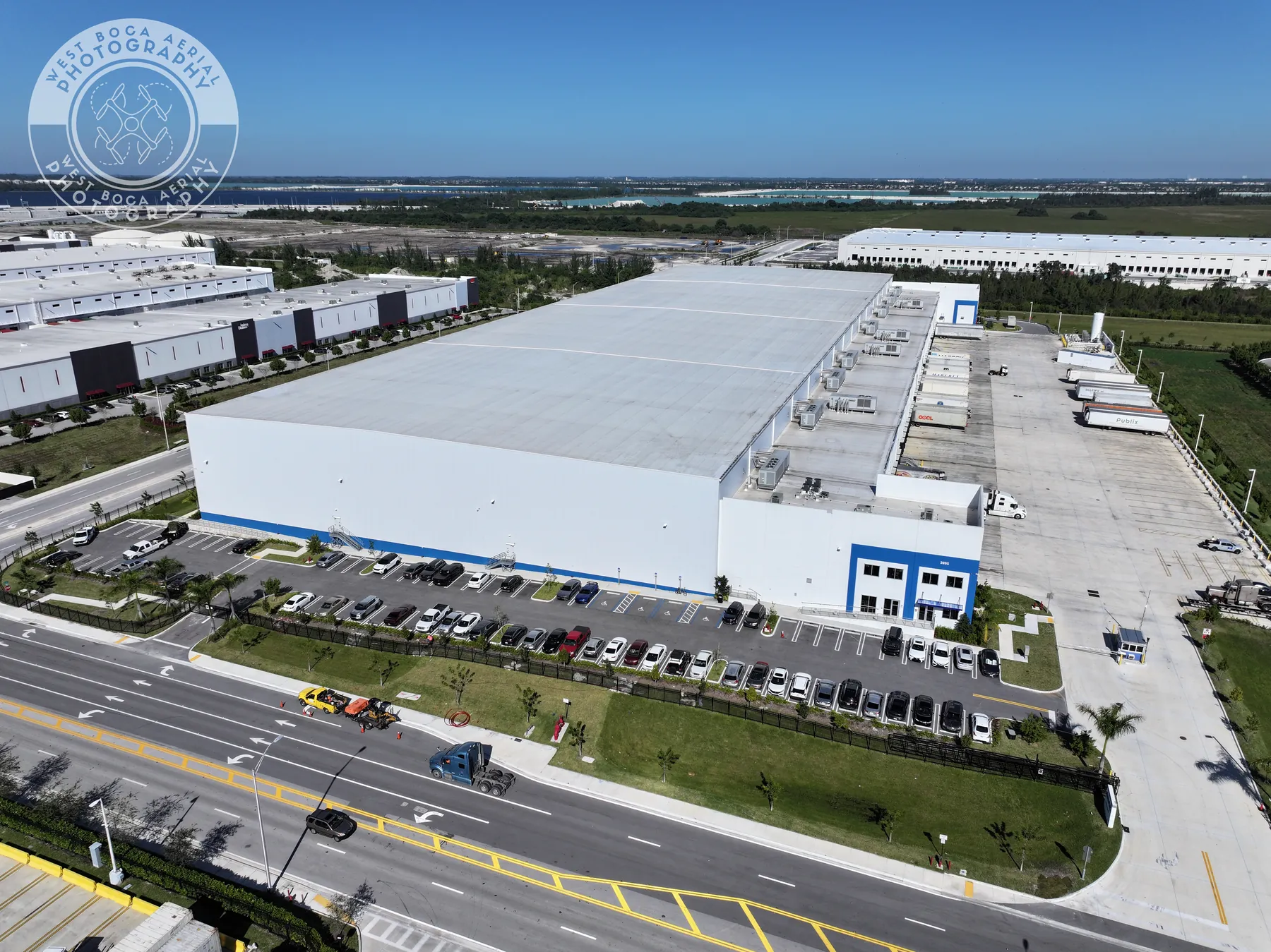
That is especially useful when the property's value is tied to visible context. A commercial building may need to show access, loading, circulation and nearby uses. A development may need to show the broader neighborhood and the project's place within it. A residential listing may benefit from a concise view of lot size, outdoor space, waterfront or the route from street to home. As Matterport's overview of aerial property imagery notes, an aerial perspective can make exterior features and the surrounding setting easier to understand than ground-level views alone.
The strongest real estate drone video is planned around the next decision. It helps a broker prepare a listing presentation, an owner explain an asset, a development team share progress or a remote prospect decide whether a showing is worth their time. Start there, and the flight becomes a useful property story instead of a collection of attractive but disconnected clips.
Choose video when movement adds real context
Aerial video earns its place when the relationship between views matters. A wide opening movement can show how a property connects to a main road, an entrance, a marina, a park, a downtown district or a neighboring development. A slower pass can reveal building scale, a parking layout, a courtyard or the position of visible amenities. A final detail shot can then bring the viewer toward the feature that makes the listing memorable.
Not every assignment needs the same treatment. For a small property with a simple street presence, a focused set of real estate aerial photographs may communicate the essential story more efficiently. For a commercial asset, a video sequence can be more helpful because access, site circulation, loading areas and neighboring uses are often part of the conversation. The right question is not “Should this have drone video?” It is “What does the viewer need to understand before they arrive?”
Video also works well alongside still images. Still photography gives a marketing team clean, reusable frames for a brochure, listing, presentation or website. Video shows an approach, a transition in scale and the connection between views. Planning both formats during the same visit can give the final package more range without asking either format to do the other's job.
Write the property story before the flight
Before a pilot arrives, reduce the assignment to one clear sentence: “Show a prospective tenant how this building connects to the highway and loading areas,” or “Help an out-of-town buyer understand the home, water access and nearby coastline.” That sentence creates a useful filter. Every shot should orient the viewer, reveal a priority or move the story forward. If a clip does none of those things, it probably does not need to be in the finished sequence.
A short brief is enough to create focus. Share the property address, audience, listing or presentation goal, priority features, on-site contact, preferred timing and any reference material that shows the intended direction. For commercial property, identify visible elements such as arrival routes, parking fields, loading areas, rooflines, tenant-facing entrances, public space, waterfront, adjacent roads or nearby landmarks. For a development, identify the phase, visible progress and the message the update should carry.
The brief also prevents a common mismatch: a pilot captures beautiful material while the sales or property team needed an organized explanation of access, scale and visible amenities. West Boca's commercial real estate aerial photography service is built around this same wide-to-detail planning approach, which keeps the final visuals tied to the commercial conversation rather than a generic flyover.
Build a simple sequence from setting to detail
Most property videos become easier to follow when they move from the whole setting to the specific feature. Begin with an establishing view that makes the property's location clear. This might show the neighborhood, road approach, coastline, campus, surrounding green space or relationship to nearby commercial activity. The viewer should understand where the property sits before the video asks them to notice a detail.
Next, use a medium view to explain the property itself. A measured movement toward the building can show overall scale, the relationship between structures, vehicle circulation, parking, outdoor areas or a visible route through the site. This is where movement is valuable. Instead of cutting between unrelated angles, the video gives the viewer a sense of how one part of the property leads to another.
Finish with selected details that support the property's real story. That may be a waterfront edge, a rooftop terrace, an entry sequence, a tree-lined approach, a loading court, a recreation area or a nearby destination. Avoid treating every object as equally important. A short sequence with a clear point of view usually gives a buyer or tenant more confidence than a longer reel of repeated reveals.
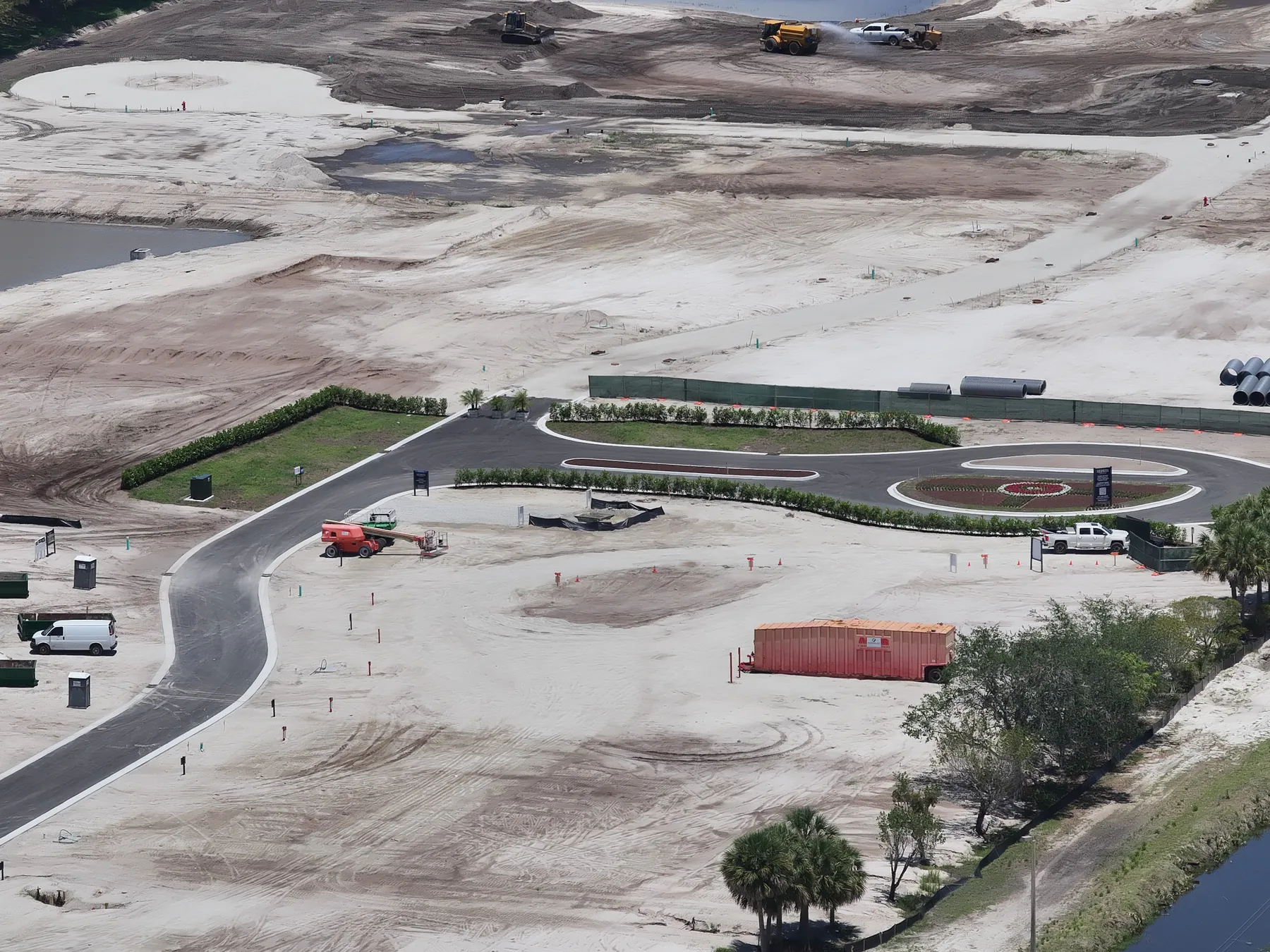
For a property that is still changing, the same structure can support a construction progress update. Establish the full site, show the current phase and include the specific areas stakeholders need to discuss. Repeatable views make the next update easier to compare, while a planned video gives remote participants a more complete sense of the work than a single static overview.
Plan timing, access and safe flight conditions early
Time of day changes the result. Early or late light may bring out building shape, landscaping and depth, while midday can be useful for reducing long shadows across a larger site. A busy loading area, active construction work, a special event or a heavily used entrance may call for a different capture window. Tell the pilot what needs to be visible and what cannot be interrupted. Those details help determine a practical plan before the crew arrives.
Commercial drone work also requires a professional approach to the airspace and the site. The Federal Aviation Administration's commercial-operator guidance explains that business flights with small drones follow Part 107 requirements, including pilot certification and operating rules. The National Association of Realtors' drone guidance likewise notes that real estate business use does not fall under the recreational-flyer exception. A good property brief leaves room for the pilot to assess airspace, weather, people, vehicles, launch space and the views that can be captured responsibly.
That planning is not a formality. It protects the property team's schedule and helps keep the final footage credible. If a requested view is not safe or allowed at the planned time, a different angle, a later window or a revised sequence is better than forcing an unsafe flight or delivering footage that misrepresents the property's ordinary conditions.
Keep the video useful, accurate and ready to share
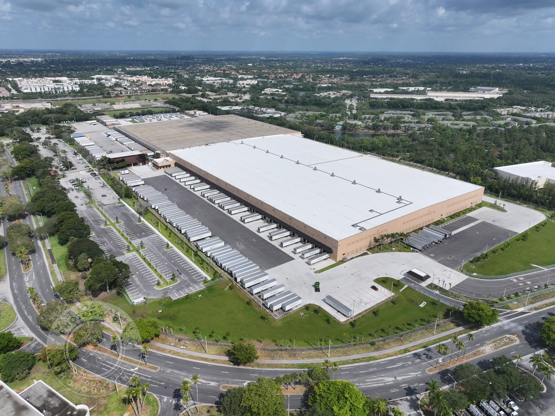
Aerial video can show visible context and relationships, but it should not be asked to prove more than it can. It can show a building's position relative to a road, a pool's relationship to a home, visible parking or a development's current stage. It does not establish property boundaries, condition, title, compliance, value, engineering conclusions or a future view. Keeping the narration, captions and listing language tied to what the footage visibly shows protects trust with the people who rely on it.
Decide where the video will live before it is edited. A property website, a listing presentation, social channels, an investor deck and an internal project update may each need different lengths or formats. A broker may need a concise horizontal sequence that opens a listing presentation. A marketing team may need shorter clips that work in a campaign. A development group may need an organized update that pairs current video with earlier reference views. That conversation should happen before the first shot, not after the delivery.
For larger commercial assignments, a commercial drone videography plan can pair the finished motion sequence with high-resolution photography for the presentation, listing or stakeholder material that follows. The company's field work shows the kind of commercial, public-space and development context that can be planned into a visit.
Give the editor a clear handoff
The value of a well-planned flight continues after the aircraft lands. An editor or marketing team needs to know which view opens the story, which property features deserve emphasis and where the finished sequence will appear. A simple handoff can identify the required opening view, the priority clips, the order that makes sense for the audience and any details that should stay out of the edit. That is enough to protect the property story without scripting every second of the final video.
It also helps to separate evergreen footage from time-sensitive material. A clean approach, building exterior, visible setting and amenity sequence may remain useful after the listing changes. Construction activity, tenant signage, seasonal landscaping, event crowds or temporary equipment may only fit a particular update. Labeling those differences gives a property team more confidence when it reuses a clip in a later campaign, presentation or project record.
Ask for a delivery that makes the strongest clips easy to find. A concise master sequence can give decision-makers the complete story, while shorter selections may be more useful for a listing page, social post or presentation opener. The best format depends on the destination, but the central standard stays the same: every version should give the viewer a truthful, useful understanding of the property before it asks for their attention or action.
Keep the final review simple. Watch the sequence once without discussing it, then ask whether a person unfamiliar with the property can explain where it is, how it is approached and which visible feature matters most. If that answer is unclear, the edit may need a stronger opening view or a cleaner transition. This small test keeps the finished video focused on the viewer rather than the production process.
How West Boca plans a property video
West Boca Aerial Photography begins with the decision the video needs to support. For a commercial listing, that may mean showing access, scale, visible amenities and the relationship between the building and its site. For a residential or waterfront property, it may mean giving an out-of-town buyer a clearer sense of approach, outdoor space and setting. For a development, it may mean documenting progress in a sequence that helps owners and stakeholders see what changed.
The team can combine aerial video, high-resolution stills and ground photography when the assignment needs more than one point of view. Every flight is planned around the property, the audience, site coordination and the finished use of the material. Share the address, intended audience, priority views, timing, access details and where the video will be used, then request a flight plan that gives the property a clearer story from the start.
Frequently asked questions
What should drone video show in a real estate listing?
It should show the visible relationships that help a buyer, tenant or investor understand the property before a visit. That can include the approach, site layout, parking, outdoor areas, waterfront, nearby roads, surrounding amenities and selected exterior features. The shot list should follow the property's actual selling story rather than a generic collection of aerial clips.
Can drone video and photos be captured on the same visit?
Yes. Planning both together can create a more flexible property package. Still images are useful for listings, brochures, presentations and websites, while video can explain approach, movement and the relationship between the property and its setting. The best mix depends on who will use the finished material and where it will appear.
Do I need to be on site for a real estate drone video shoot?
Not always, but a reliable on-site contact is helpful. Before the visit, provide access instructions, any active work or restricted areas, the priority views, the intended audience and a phone number for the person who can answer a time-sensitive site question. That coordination helps the flight stay focused and respectful of the property.
What does aerial property video not prove?
Aerial video records visible features and context on the day it is captured. It does not establish boundaries, title, condition, code compliance, value, structural integrity, hidden conditions or future views. Use the video to help people understand the property, then rely on the appropriate qualified professionals for conclusions that require inspection, survey, appraisal, engineering or legal review.
Related posts
Real Estate Drone Photography Tips for Clearer Listings
A practical planning guide for brokers, owners and property teams who want aerial images to make a listing easier to understand.
Read the guide →Commercial Real Estate Drone Photography: A Planning Guide
How to plan aerial property imagery that helps buyers, tenants and stakeholders understand a commercial site before they arrive.
Read the guide →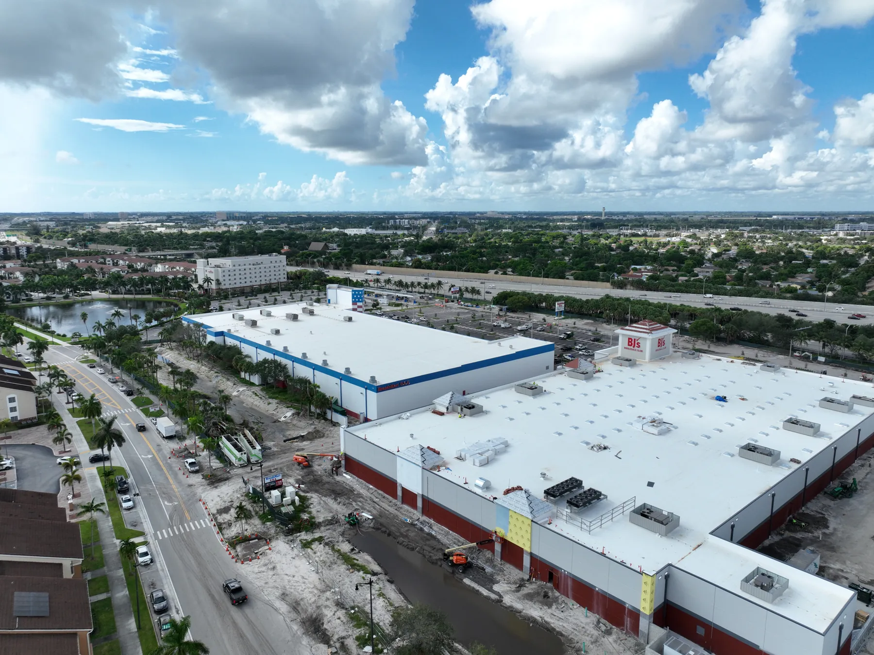
Construction Progress Photography: What to Capture and When
A practical capture plan for owners, contractors and project teams who need a clear visual record of a job as it moves.
Read the guide →