Site Context
Wide views make the relationship between a property, its approach, parking, access points, neighboring uses and surrounding amenities easy to understand at a glance.
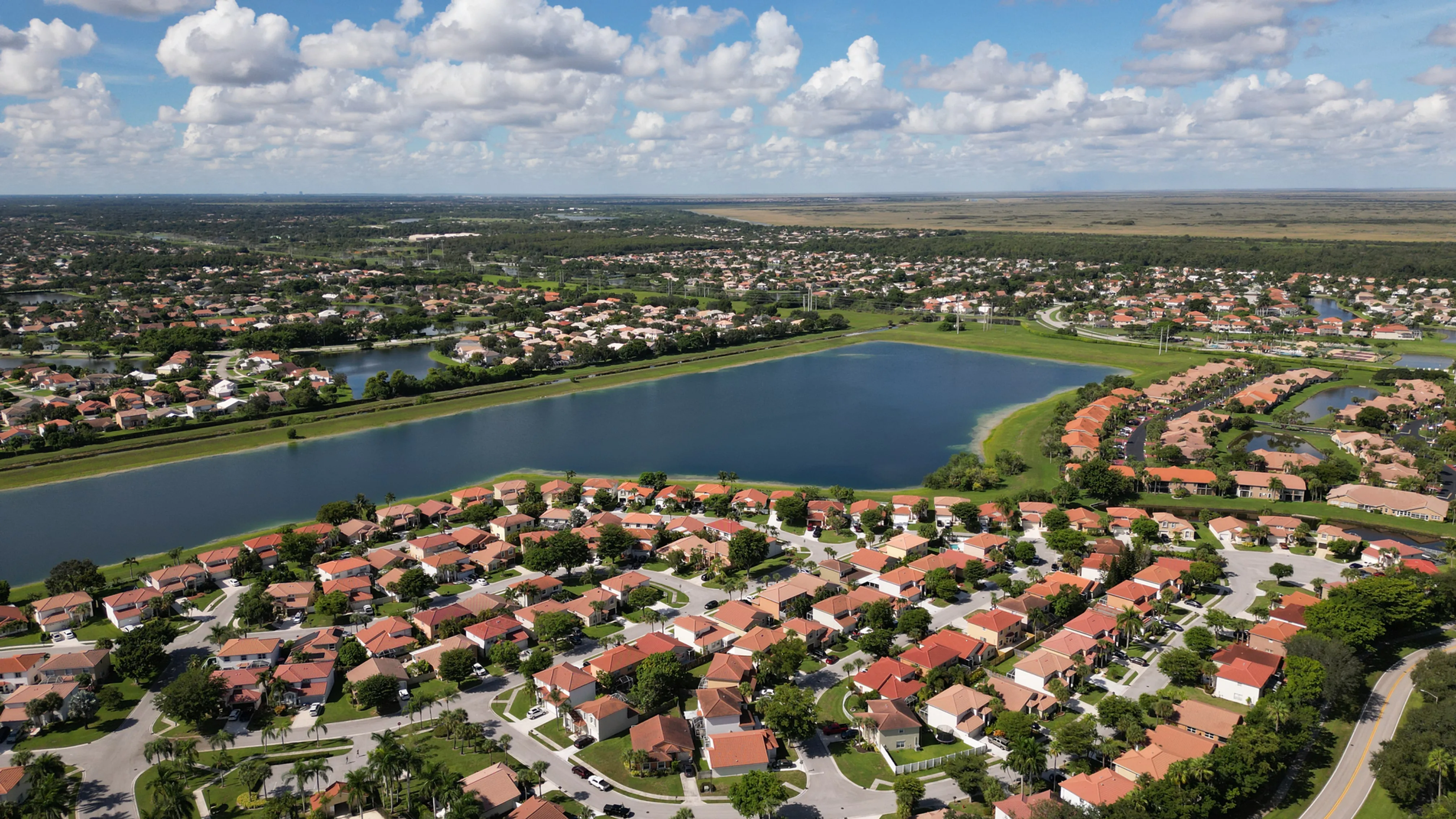
Planned aerial imagery that helps buyers, tenants and investors understand the property before they arrive.
Commercial real estate decisions rarely begin at the front door. Before a buyer, tenant or investor schedules a visit, they often need to understand how a building sits within its site, how people and vehicles arrive, where parking and loading areas are placed, what surrounds the property and which visible features set it apart. Those relationships are hard to communicate with a street-level image alone.
Commercial real estate drone photography gives the property a clear, useful point of view. A higher establishing image can show access, lot shape, surrounding roads and nearby uses. A lower aerial angle can bring out architecture, exterior scale, landscaping, waterfront or the relationship between a building and its amenities. The strongest image set moves from setting to detail, so every frame helps the viewer understand where they are looking.
West Boca Aerial Photography begins with the purpose of the assignment. A broker preparing a listing may need the clearest route into the site story. An owner may need images for an offering memorandum or leasing package. A development team may need current imagery for a presentation or update. The intended audience sets the priorities for timing, camera position and the views that earn a place in the final selection.
The result is not a generic flyover. It is a planned visual record that gives the next person a better grasp of the property before the next call, showing or meeting.
Wide views make the relationship between a property, its approach, parking, access points, neighboring uses and surrounding amenities easy to understand at a glance.
The shot plan can focus on the visible details that matter to the assignment, such as building scale, loading areas, rooflines, waterfront, green space, circulation or a development phase.
The final selection is organized around the listing, leasing package, investor deck, project update or marketing conversation it needs to support.
A short pre-flight brief turns aerial coverage into something a commercial team can actually use. Start with who needs to see the property and the question they need answered. A prospective tenant may care about access, parking and the immediate surroundings. An investor may need to see site scale, adjacent activity and the relationship to a major route or amenity. A buyer may need a clean orientation before a showing.
That conversation shapes a focused shot list. The flight can establish the entire property, then move toward the visible features that deserve more attention: arrival points, parking fields, loading areas, rooflines, views, streetscape, green space or neighboring destinations. When a property is active, the plan also accounts for site contacts, vehicles, tenant activity, restricted areas and safe launch space.
For a property that is changing, the timing matters as much as the angle. A pre-construction flight can preserve the original setting. A milestone visit can record visible progress. A completed-project set can bring the building, circulation and surrounding context together for marketing, leasing or stakeholder communications. Repeatable viewpoints can make those changes easier to compare without losing the wider story.
Explore real estate coverage →Explore commercial drone videography →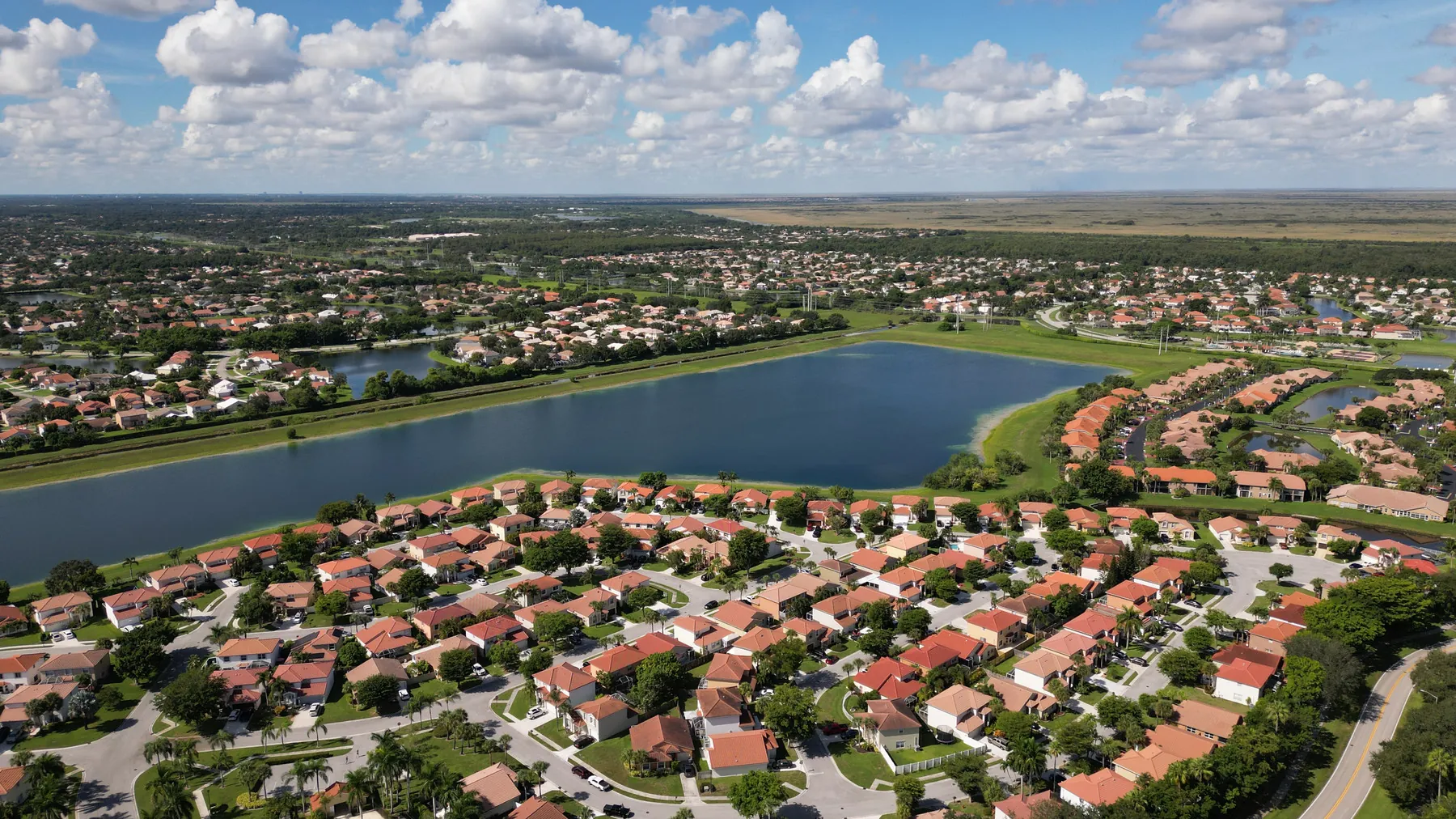
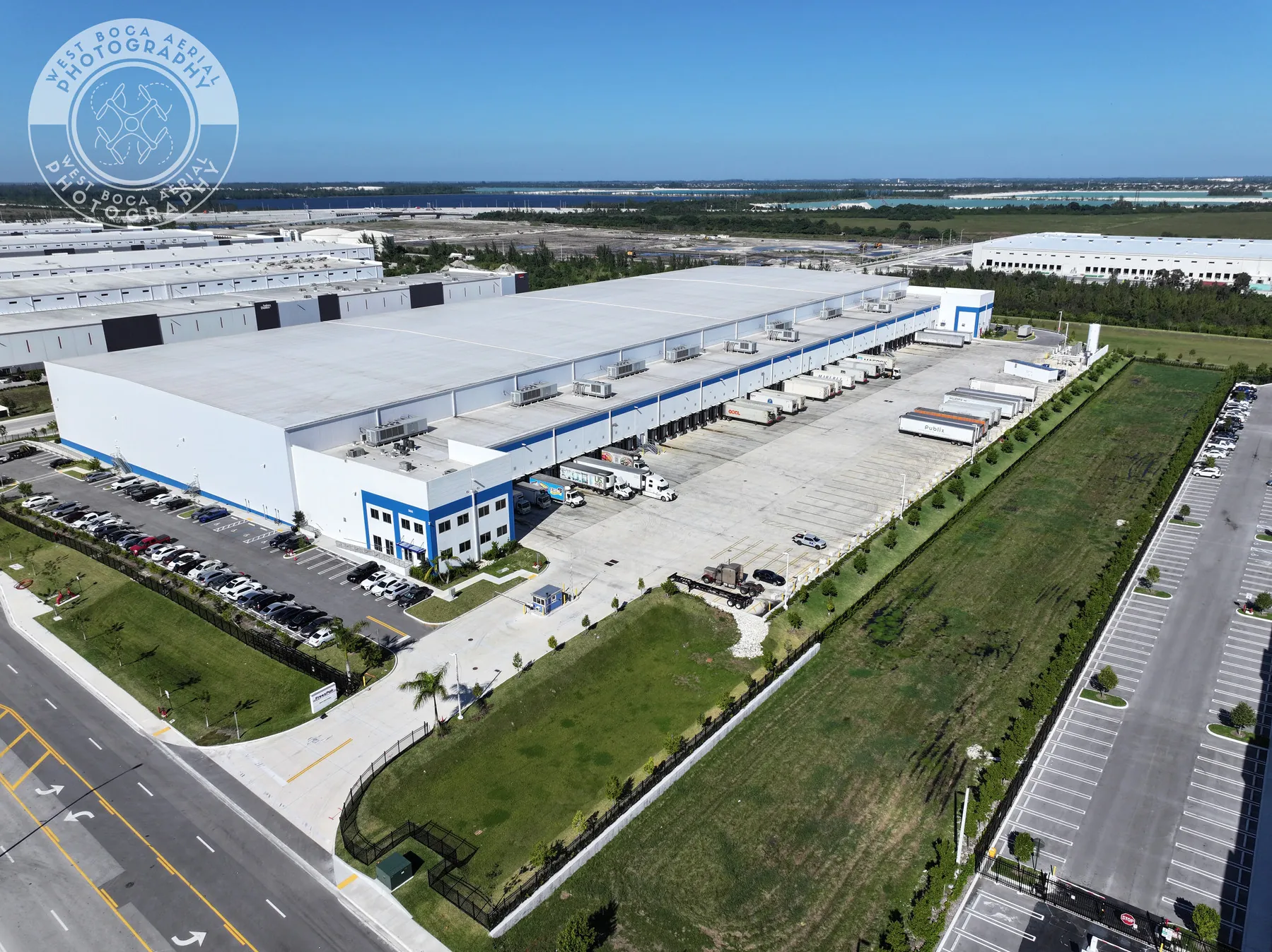
Identify the people who will see the images and the visible features that matter to them. A listing, lease-up, investment discussion or project update each has a different job, and the flight plan follows that job.
Access, tenant activity, deliveries, traffic, active work, restricted views, timing and safe launch space all shape a respectful, efficient visit. The plan accounts for those realities before capture begins.
Wide images orient the viewer. Mid-level angles show the relationship between the building and its site. Selected closer views bring out the exterior features that support the commercial story without losing the larger context.
The finished images can be grouped around the assignment so brokers, owners, marketers and project teams can find the right view quickly and present the property with confidence.
Aerial photography is most valuable when the setting genuinely changes the decision. It can show how a property relates to a road, district, waterfront, park, neighboring development, parking field, loading area or visible amenity. It can create a stronger first impression for a commercial listing and help a remote stakeholder arrive at a conversation with better questions.
It works best alongside the visual material that explains close detail. Ground photography can show entrances, finishes and the experience at eye level. Aerial photography establishes the larger site relationship. Video can add movement and approach. The right combination depends on the audience and the way the property will be presented, rather than a one-size-fits-all package.
The final set also stays honest about what a camera can establish. It documents visible context, building scale and site relationships on the date of the flight. It does not replace a survey, appraisal, title review, engineering analysis, inspection or property disclosure. Keeping that distinction clear makes the imagery more useful to the people who need to rely on it.
When the assignment needs a detailed overhead reference rather than presentation imagery, drone mapping services may be the better fit. When the priority is a repeatable visual record of changing work, construction progress photography can be planned around project milestones. West Boca Aerial Photography helps shape the coverage around the actual commercial decision at hand.
It can show a commercial property in relation to its site, approach roads, parking, loading areas, nearby uses, waterfront, open space and other visible features that are difficult to explain with ground-level photography alone.
Commercial brokers, owners, developers, asset managers, leasing teams, property managers and marketing partners use aerial photography when a buyer, tenant, investor or remote stakeholder needs a quicker understanding of the property and its setting.
Yes. Still images and video can be planned together when both formats serve the assignment. Photography is useful for listings, decks and one clear view, while video can show an approach, movement through the site or a wider sense of place.
Share the property address, intended audience, priority features, preferred timing, on-site contact, access instructions, active work, privacy considerations and any reference images, listing draft or site plan. That brief keeps the flight focused on the views that matter.
Give the property a clearer point of view.
Request a property flight plan →