Commercial Real Estate Drone Photography: A Planning Guide
How to plan aerial property imagery that helps buyers, tenants and stakeholders understand a commercial site before they arrive.
Commercial real estate drone photography earns its place when it makes a property easier to understand. A broker may need to show how a warehouse connects to major roads. An owner may need to put the size of a retail centre, campus or development site into perspective. A prospective tenant may need to see access, parking, loading areas and the setting around a building before deciding whether a visit is worthwhile.
The useful outcome is not simply an impressive overhead view. It is a small, intentional set of images that answers the questions a commercial audience asks first: Where is the property? How does traffic move through it? What surrounds it? What can a person see from the site, and what does the whole asset look like at once? This guide explains how to plan that coverage, choose the right views and receive imagery that can work across a listing, offering memorandum, presentation and project conversation.
Start with the property decision, not the aircraft
Every commercial property has a different story to make clear. An industrial listing may need to show truck circulation, loading docks, building footprint and highway access. A retail asset may need frontage, parking, neighboring uses and a visible route in from the street. For land or development, the important question may be parcel shape, nearby infrastructure, access points and the relationship to the surrounding area. Aerial imagery works best when the audience and the decision are identified before the shot list is written.
Ask who will use the images and what they need to understand before a site visit. A broker preparing an offering package may want a concise group of polished marketing images. An owner presenting to a lender or board may need wider context and a few clear location views. A development team may need current documentation that can sit alongside a site plan. Those needs overlap, but they are not identical, and a clear brief prevents a beautiful image set from missing the practical point.
West Boca Aerial Photography's commercial imagery capability is designed around that kind of planned coverage. Start with the property type, the audience, the priority features and the intended use, then build the flight around the views that will make the next conversation easier.
Plan the views that explain the site
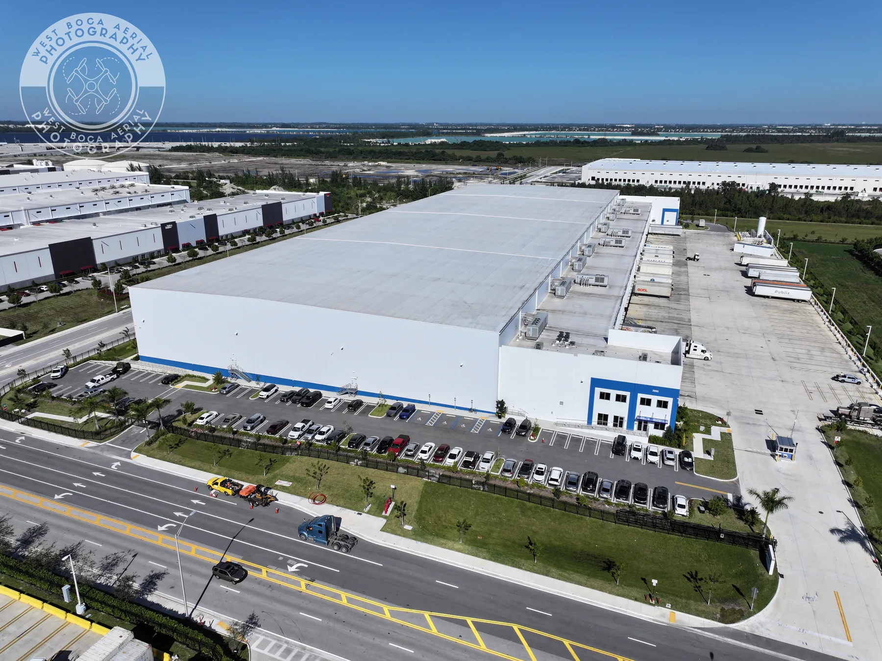
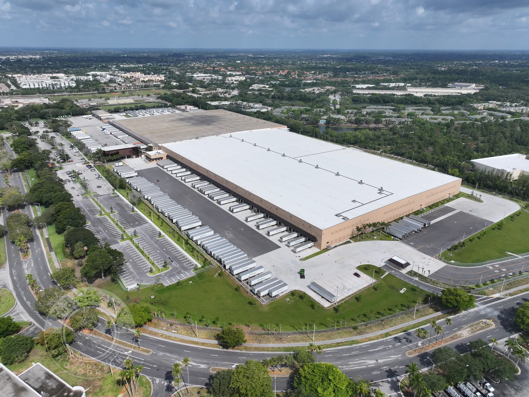
A commercial aerial set usually needs more than one altitude or angle. Begin with a broad establishing view that shows the property in its surroundings. Add an oblique view that gives the building shape and street presence. Then plan closer images for the features that matter to the transaction: entrances, loading courts, parking fields, drive lanes, roof equipment, signage, outdoor amenities, construction areas or vacant land boundaries when they can be shown truthfully and without implying a survey.
Think in a sequence from context to detail. A distant view can show a highway, rail line, waterway, commercial corridor or neighboring destination. A mid-level view can make access routes and the property footprint understandable. A closer view can show the relationship between docks, parking, storefronts or an entrance. When those views are delivered together, someone who has never visited the property can move from orientation to the features that deserve attention.
The existing warehouse field work and distribution-centre project illustrate the value of linking building detail back to the wider site. The point is not to photograph everything from directly above. It is to make the asset legible from the first page of a marketing package.
Match the shot list to the asset class
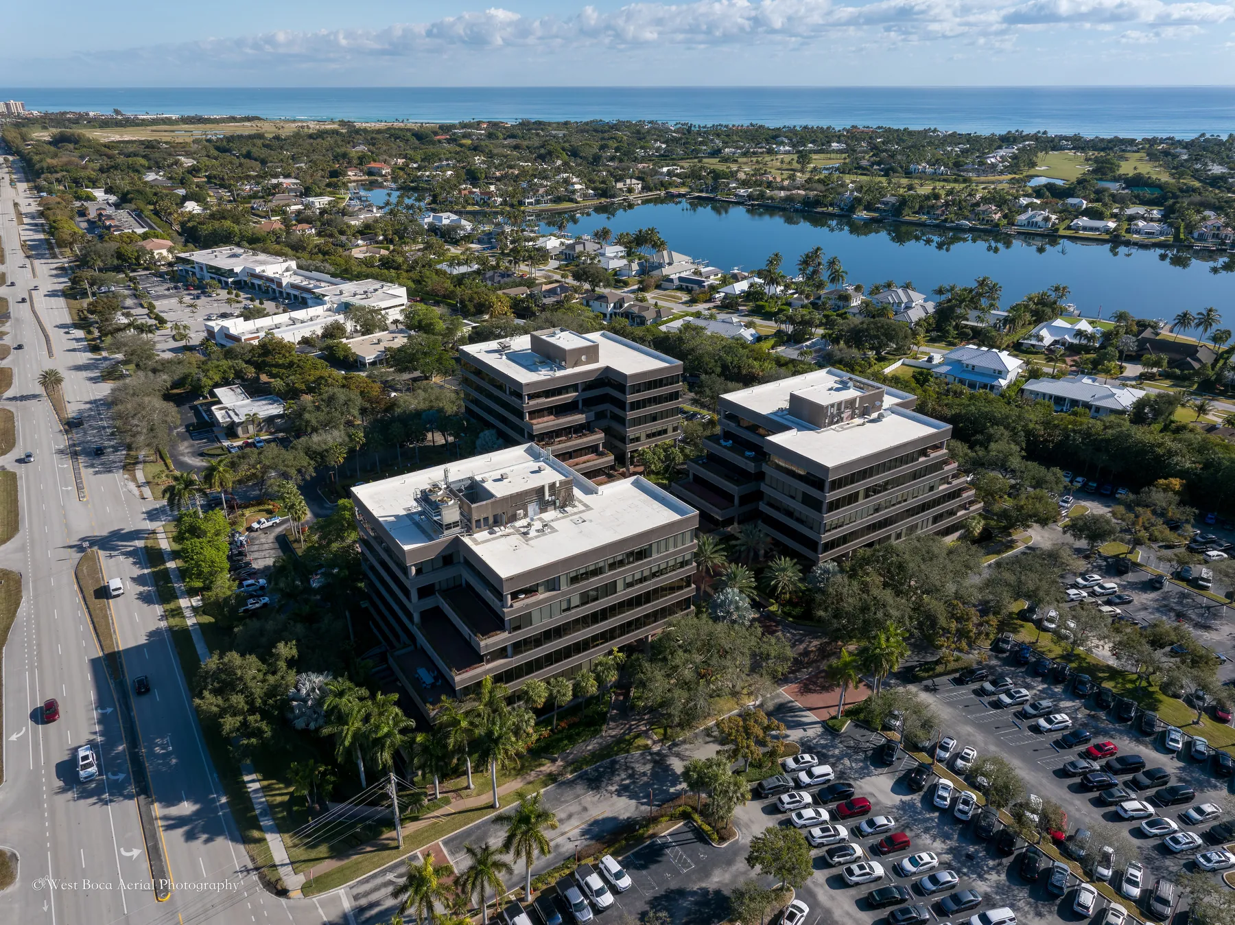
A single generic shot list rarely works across commercial property types. Industrial properties often benefit from clear views of truck entries, dock configuration, trailer storage, service yards, roof scale and the road network that supports deliveries. For office and medical properties, arrival sequence, parking, entrances, landscaping and nearby amenities may matter more. Retail teams may focus on frontage, traffic approaches, visibility, parking and the surrounding tenant mix. Multifamily, hospitality and mixed-use properties may need a balance of building form, shared spaces, access and neighborhood context.
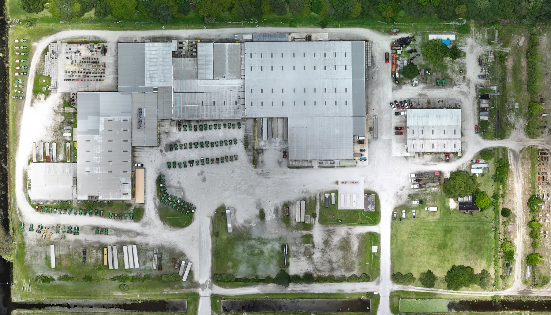
For land, development and construction assignments, be especially precise about what the image is intended to show. Aerial photography can create a useful visual record of the site, adjacent roads, visible infrastructure, grading and progress. It is not a substitute for a boundary survey, entitlement advice or engineering analysis. If a map-like overhead reference is needed, discuss whether a planned mapping capture is a better companion to the marketing imagery.
The right scope keeps the final collection lean. A decision-maker is more likely to use eight useful images repeatedly than sort through fifty near-duplicates. Identify the property's strongest visual proof points, then leave room for a few flexible views that can serve presentations, email campaigns and future updates.
Time the shoot for the way the property needs to feel
Light, weather and activity change the meaning of a commercial property image. Early or late daylight can make a facade, landscaping and building form easier to read, while midday may be better for a clean overview with fewer long shadows across parking or loading areas. A busy property may need a carefully chosen operating window so the image shows real use without creating a confusing scene. A site under construction may need coordination around cranes, lifts, delivery routes and active crews.
Discuss the desired feeling as well as the schedule. A listing focused on access and site capacity may favor clean, high-clarity daytime views. A hospitality or mixed-use property might benefit from warmer light that communicates arrival and atmosphere. The choice should serve the property rather than follow a formula. Weather and airspace can also change the available timing, so flexibility in the brief helps protect the quality of the result.
Commercial drone work also needs a responsible operating plan. The Federal Aviation Administration's Part 107 rules set the operating requirements for small commercial drone flights, including applicable airspace, visual line of sight and safe operation around people and property. The property team can help by sharing access instructions, restricted areas, busy periods and a site contact before the shoot.
Make the final delivery easy to use
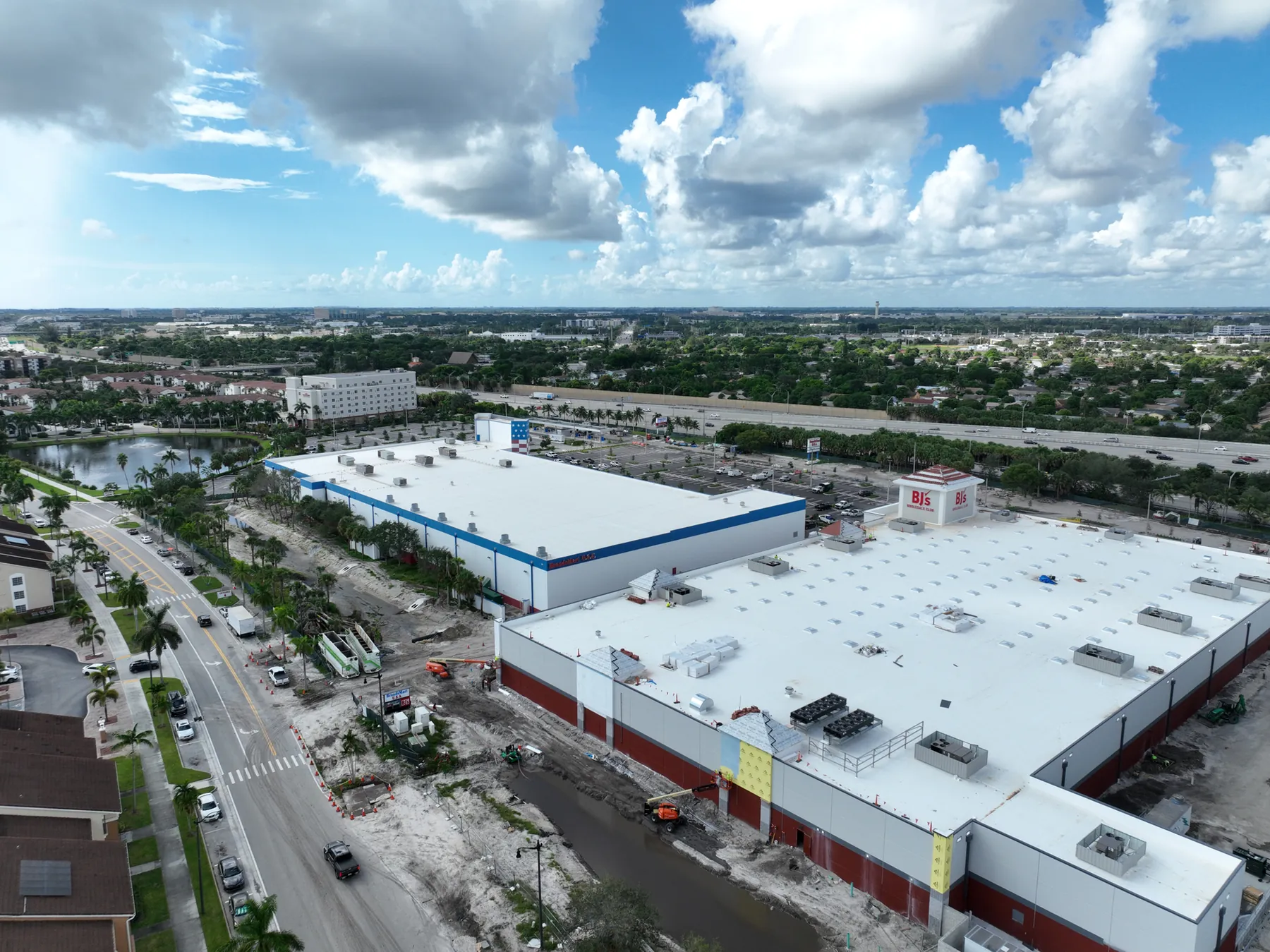
A useful delivery reflects how commercial teams actually share property information. Keep the best overview and key selling views easy to identify. Group images by purpose when that helps, such as site context, building exterior, access and circulation, amenities or project documentation. File names do not need to be elaborate, but a simple order prevents a broker, owner or marketing team from having to reconstruct the story every time they need an image.
Decide in advance whether the imagery will appear in a listing, digital brochure, investor presentation, website, email campaign, social post or internal project update. That conversation helps determine orientation, framing and whether still photography should be paired with a short aerial video. The site's commercial drone videography service can be a useful complement when movement helps explain a route, arrival sequence or place, while still images remain the strongest choice for quick review and repeated use.
Do not overlook the people who were not part of the shoot. A clean overview image can help an owner explain the asset to a lender. A clear access image can help an operations or leasing conversation. A set of repeatable views can support a later update if the property changes. Good aerial media keeps working because it gives different audiences a shared visual reference.
Use aerial images honestly
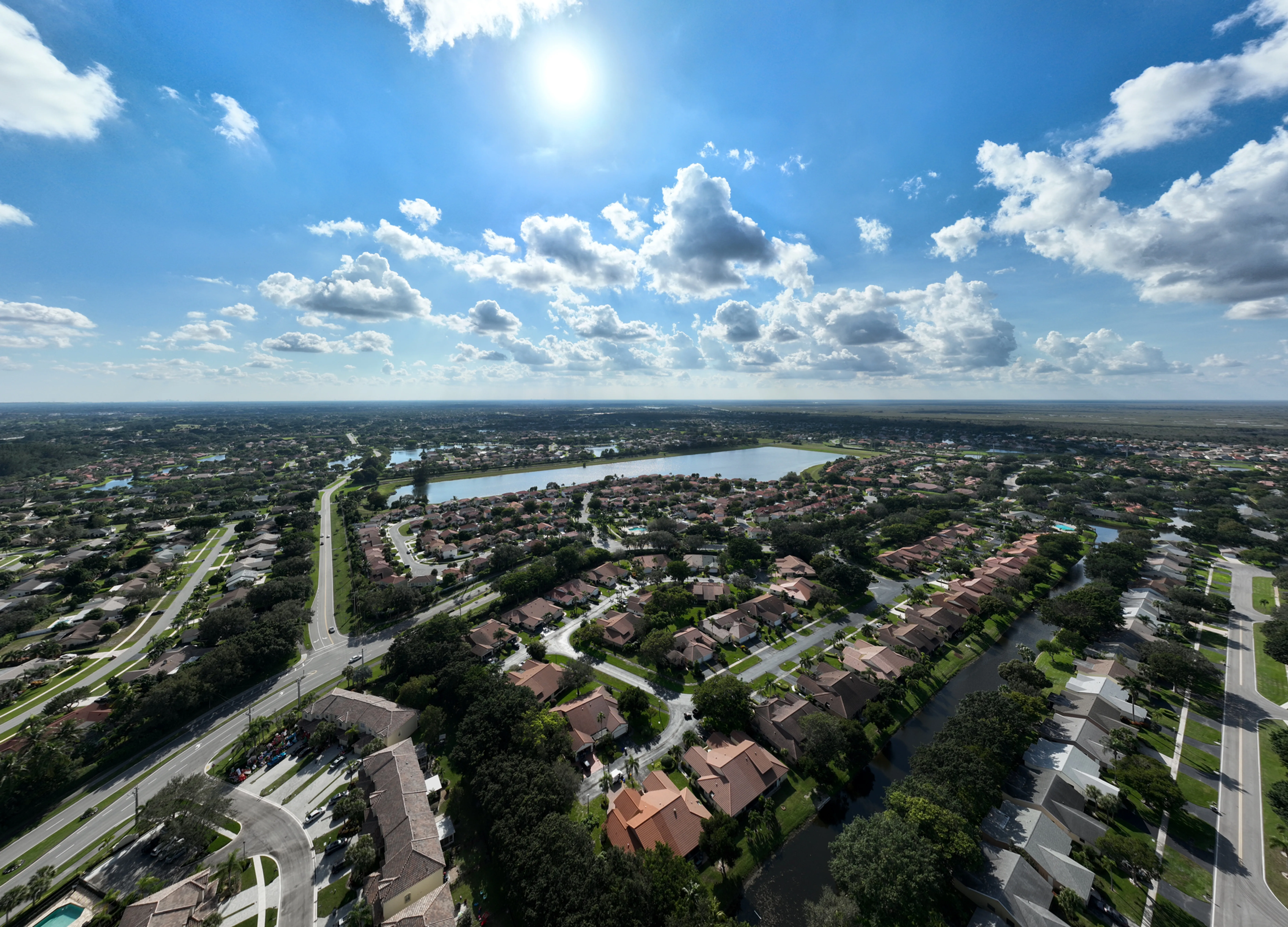
Aerial photography is persuasive because it creates context quickly, which is exactly why it should remain accurate. Do not use it to imply ownership boundaries, traffic counts, future views, approvals or site conditions that the image cannot prove. Avoid a perspective that hides a material site constraint. If an adjacent parcel, road, construction activity or access condition matters to the transaction, it is usually better to show enough context for a viewer to ask the right question than to produce a view that creates a false impression.
This is especially important for development land and properties near airports, water, rail corridors or major construction activity. The image can document what was visible on the date of capture. It should sit beside the appropriate due diligence, survey, legal and technical materials, not pretend to replace them. That straightforward approach makes the imagery more useful to serious buyers and stakeholders, because it supports confidence rather than a surprise later in the process.
For an assignment that also needs a current visual record of building condition, access or roof areas, the drone property inspections guide explains how to plan a different, inspection-led scope. Marketing imagery and inspection imagery can overlap, but they should each be planned around their own question.
A simple brief for commercial real estate drone photography
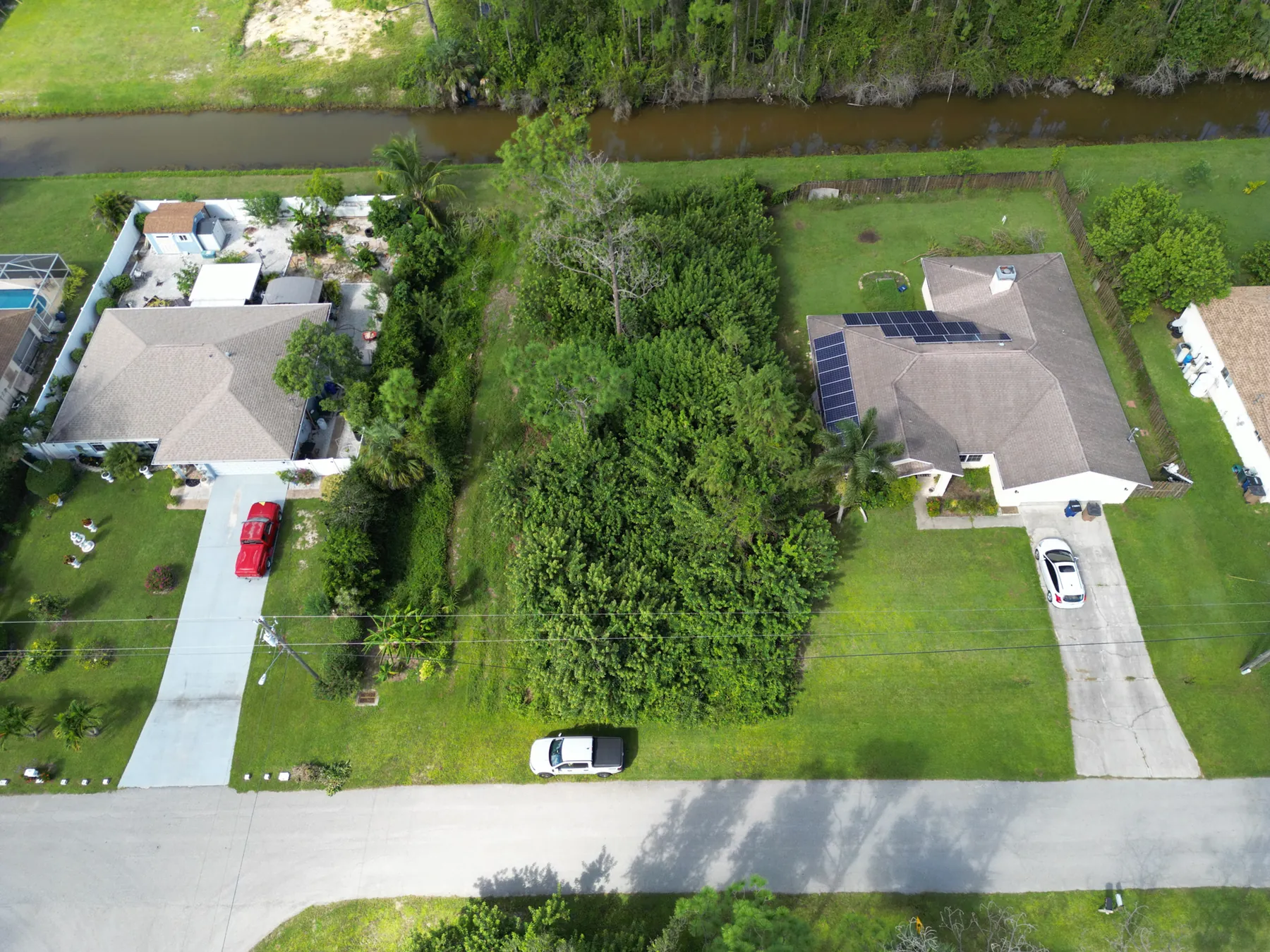
A strong project brief can be short. Include the property address, property type, the intended audience, the marketing or documentation goal, priority features, preferred views, site contact, access instructions, operating hours, restricted areas and any deadline. If there is an existing offering memorandum, site plan, ground-level photo or reference image, share it. Those materials help turn a broad request for “drone photos” into a flight plan with a clear purpose.
Add the question each image should help answer. For example: How do trucks reach the loading area? How visible is the retail frontage from the corridor? How does the site relate to nearby amenities? How large is the project footprint? That framing gives the photographer useful direction without dictating every camera angle. It also helps identify when ground photography, mapping, video or repeat coverage would make the final package more complete.
How West Boca Aerial Photography helps commercial property teams
West Boca Aerial Photography plans commercial property coverage around the story a buyer, tenant, investor or stakeholder needs to see. The work can combine high-resolution aerial images, site context, building views, access and circulation coverage, video and organized delivery, always matched to the property and intended use rather than a generic flight path.
For a planned assignment, share the property address, audience, timeline, priority views, access details and the next decision the imagery needs to support. Review the team's field work and pilot credentials, then request a flight plan built around the property.
Frequently asked questions
What should commercial real estate drone photography show?
The strongest aerial image set shows the property in context, then makes the features that matter easy to understand. Depending on the asset, that can include building form, access roads, parking, loading areas, frontage, nearby amenities, land layout, visible site circulation and the relationship to surrounding development.
How many aerial images does a commercial property listing need?
The right number depends on the asset and the audience, but a focused set is usually more useful than many similar views. Plan enough images to show broad context, building form, access and the specific features that support the listing. The brief and final delivery should make the strongest images easy to identify and reuse.
Can drone photography show property boundaries?
Aerial images can show visible site features and provide useful context, but they do not establish legal property boundaries or replace a survey. If boundaries are important to a transaction, use the appropriate survey and due-diligence materials alongside the photography.
What should I provide before a commercial drone photography shoot?
Provide the property address, property type, intended audience, deadline, priority features, preferred views, site contact, access instructions, operating hours, active hazards and restricted areas. A site plan, offering material or reference images can also help shape a more useful shot list.
Related posts
Construction Progress Photography: What to Capture and When
A practical capture plan for owners, contractors and project teams who need a clear visual record of a job as it moves.
Read the guide →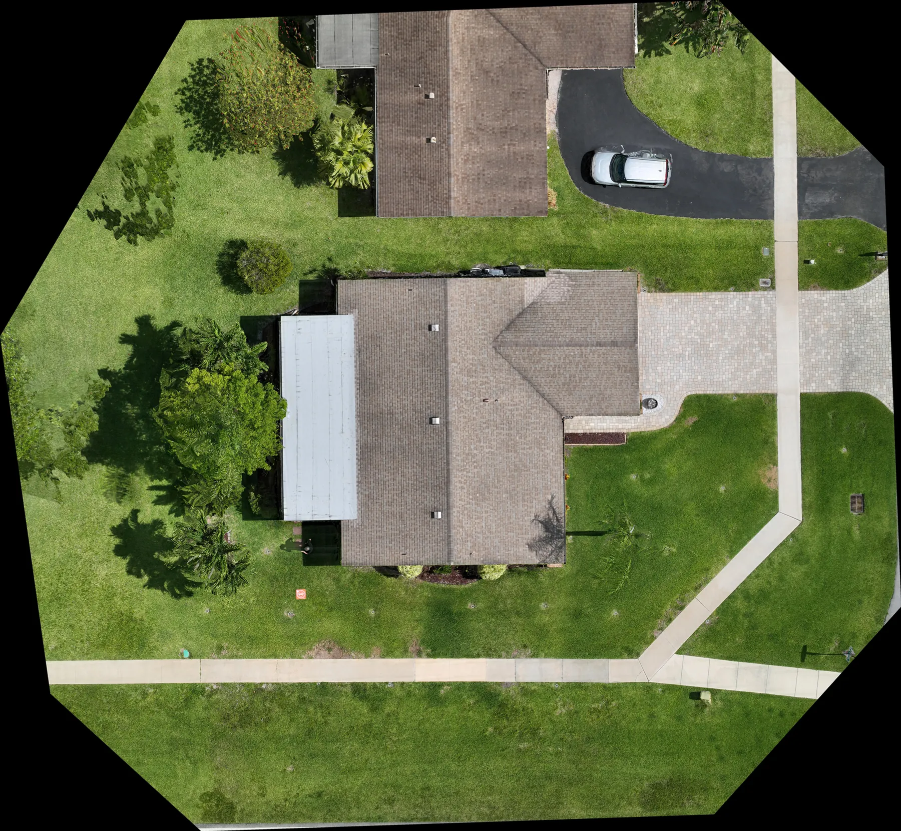
Construction Aerial Drone Photography: A Planning Guide
How to plan aerial construction photography that gives project teams useful site context, repeatable records and clear updates.
Read the guide →
Drone Solar Panel Inspection: A Planning Guide
What a drone inspection can show, how thermal imaging fits in and what to define before a solar site is flown.
Read the guide →