Site Orientation
A broad, well-timed view can show the project footprint, approach routes, staging, access, surrounding property and active work areas in one useful frame.
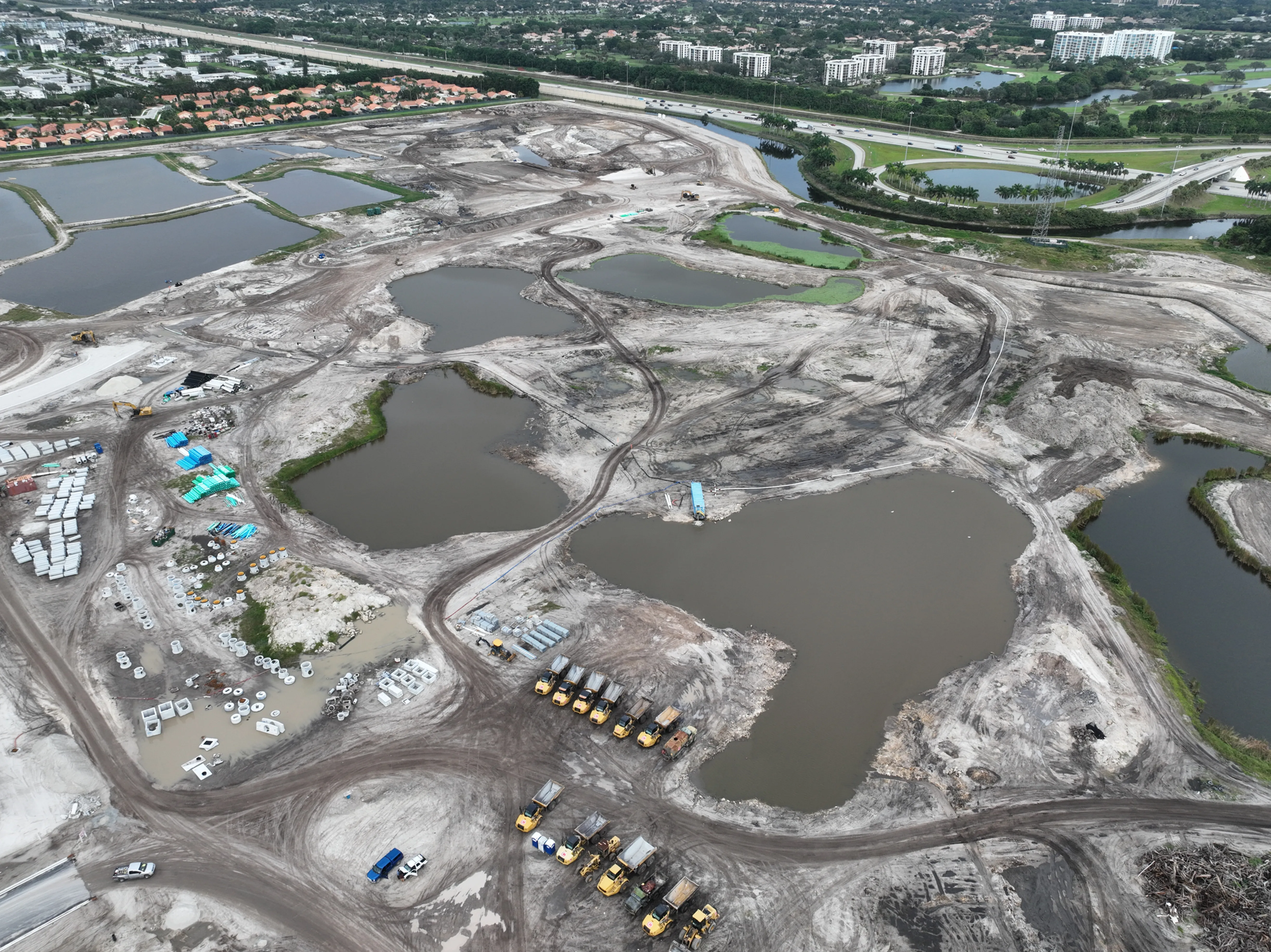
Planned aerial coverage for the site views, project moments and people that need a clearer picture of the work.
Construction teams are often asked to explain a site to people who cannot be there at the right moment. An owner may want to see how a phase sits within the full project. A lender or investor may need a clear update before a meeting. A project manager may need a visual record of an area that will soon change. A marketing team may need imagery that presents completed work with the right context.
Construction drone photography turns those requests into a considered shot plan. The aerial view can establish the overall footprint, approach roads, access, staging areas, visible circulation and the relationship between completed work, active zones and surrounding property. Selected lower angles can then bring attention to the exterior progress, scale or site features that matter to the assignment.
Images are most valuable when they are easy to use after capture. A flight can document the condition visible on a particular date, give an off-site decision maker a reliable orientation before a call, or preserve a stage of work before it is covered by the next trade. Clear file organization and a purpose-led selection help the people receiving the material spend less time interpreting the site and more time acting on what they can see.
West Boca Aerial Photography starts with the decision the images need to support. The result is not a collection of dramatic angles. It is an organized, date-specific visual record that helps a project team orient the viewer, point to the visible work and move the conversation forward with more confidence.
A broad, well-timed view can show the project footprint, approach routes, staging, access, surrounding property and active work areas in one useful frame.
Repeatable viewpoints and selected detail images create a dated visual record of visible work, helping teams explain what changed without relying on a generic flyover.
The final image set can be organized for owner updates, reports, proposals, investor conversations, project marketing or closeout material, depending on the job.
Every construction site has a different rhythm. Before a visit, the team can identify the phase worth documenting, the areas that need wider context, the audience for the finished material and any operational details that affect the flight. Site access, active equipment, deliveries, crews, controlled areas, safe launch space and weather all shape an efficient, respectful plan.
A useful sequence often moves from broad orientation to selected detail. The first images make the site legible: where the work sits, how the project connects to its surroundings and what a remote viewer is looking at. The next views can focus on visible structural progress, exterior envelopes, earthwork, utilities, circulation, landscaping, roof conditions or a milestone that deserves a closer record.
When the project needs motion as well as stills, a coordinated visit can include both. Stills are useful for reports, proposals and one clear reference. Video can show arrival, movement through a large site and the changing relationship between project areas. The right deliverables depend on how the material will be reviewed and shared after the flight.
Explore repeatable construction progress photography →Explore commercial drone videography →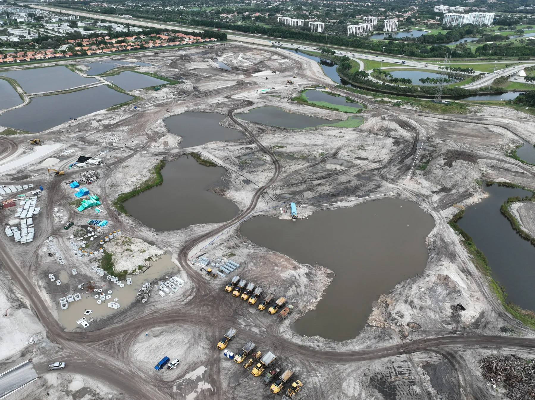
Identify the project phase, intended audience and visible details that need to be clear. A lender update, owner presentation, project record, proposal and marketing package each need a different set of views.
Access, site contacts, active work, equipment, restricted areas, hazards, timing and launch space are confirmed before capture begins. The plan respects the realities of an operating project.
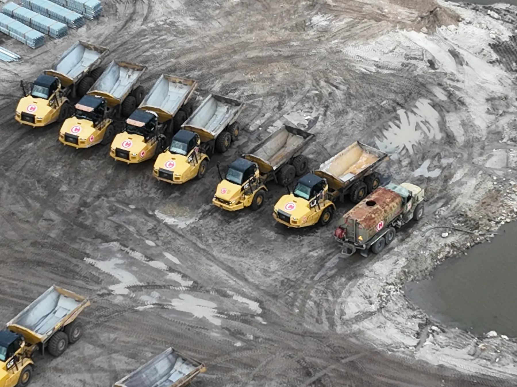
Wide images establish the project in its setting. Mid-level angles describe the relationship between active zones and completed work. Targeted closer views record the visible milestone or condition that needs attention.
The final selection is arranged around the purpose of the assignment, making it easier for the project team to find, share and present the right image when it matters.
Construction drone photography works well for a key milestone, a current-condition record, a proposal, an owner presentation or imagery that needs to explain the project at a particular point in time. It can be scoped as a focused visit when the team needs a clear visual answer without committing to an ongoing series.
For a long-running project, construction progress photography adds repeatable viewpoints and a regular schedule. That approach makes changes easier to compare across milestones and gives project teams a more reliable visual timeline. The two services can work together: a first visit can establish the project context, while planned follow-ups keep the record current as the work changes.
When the need is a detailed overhead reference, drone mapping services may be a better fit. When the priority is a close visual review of a roof, facade or equipment area, drone inspection services can be planned around that specific question. Aerial imagery documents what is visible on the date of capture. It does not replace a survey, engineering review, site inspection, safety assessment or the judgment of the qualified professional responsible for the work.
Bringing the site address, project phase, target date, priority areas and intended use to the first conversation makes it easier to recommend coverage that genuinely helps the project team.
A construction flight can include a wide site overview, active work areas, access and staging context, exterior progress, surrounding conditions and selected closer images of visible milestones. The exact coverage follows the project brief and the people who need to use the images.
A one-time construction assignment can document a current milestone, support a presentation or establish a site record. Construction progress photography is planned as a repeatable series, using consistent views over time so changes are easier to compare from one visit to the next.
Yes. When both formats will help, the flight can be planned to produce still imagery and video without treating either as an afterthought. The intended audience and final use determine the right mix.
Share the site address, project phase, date or milestone to document, intended audience, priority areas, access instructions, on-site contact, active hazards, restricted areas and any site plan or reference images. That brief helps keep the visit focused and safe.
Give the project a clearer point of view.
Request construction coverage →