Roof & Property Context
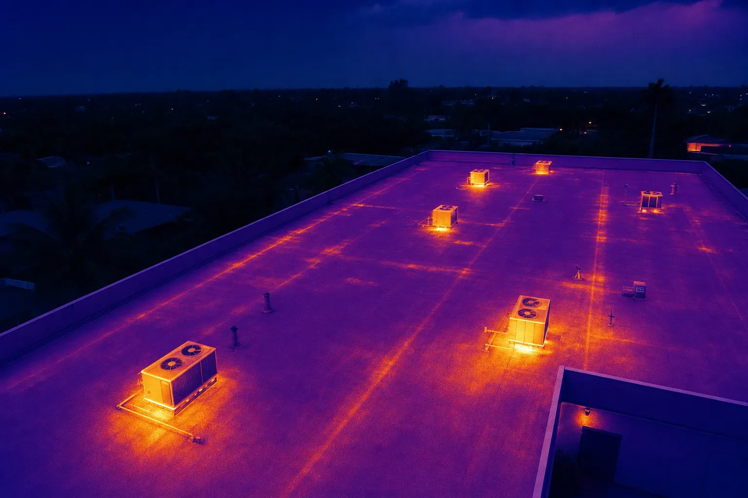
Wide aerial views show roof sections, access points, drainage paths, equipment and the surrounding property before attention moves to a specific area.
Clear aerial coverage for roofs, equipment and properties that need a safer, more useful first review.
Drone inspection services give a property team a practical way to document visible conditions from above before scheduling a closer review. On a commercial roof, a broad site, a hard-to-reach equipment area or a property with several structures, it can be difficult to explain exactly where an observation sits. Aerial imagery establishes that context first, then moves closer where the assignment needs more detail.
West Boca Aerial Photography plans each flight around the decision behind it. A facilities manager may need a current roof record before maintenance begins. A contractor may need to show exterior conditions after a storm. An owner may want a clear overview of equipment, drainage or site access before deciding who should inspect an area in person. Those are different jobs, so the capture plan is built around the right question rather than a generic pass over the property.
The finished images help people who were not present understand the location, scale and visible context of a concern. They can support a maintenance conversation, a project record, an insurance file or a contractor briefing without claiming to prove more than the camera can show. That distinction matters: useful documentation should make the next step clearer, not create false certainty.
For commercial properties, a drone also reduces the need to begin every visual review with a ladder, lift or long walk across an active site. It can create a broad visual reference efficiently while the qualified professional remains responsible for diagnosis, repair decisions and hands-on assessment.
Wide aerial views show roof sections, access points, drainage paths, equipment and the surrounding property before attention moves to a specific area.
High-resolution visible-light imagery documents what can be seen. Thermal imaging can add relative temperature context when conditions and the assignment call for it.
Images are organized around the site, date and priority areas so a facilities team, contractor, insurer or owner can locate the right view quickly.
An isolated close-up can be hard to use after the flight is over. The most useful inspection coverage starts with an overview of the property, roof sections, surrounding access and visible equipment. It then moves to the areas named in the brief, using the broad images as a reference for every closer frame.
That sequence helps a property manager explain a concern to a roofer, HVAC contractor, solar provider, insurer or remote owner. It also creates a dated record of what was visible on the day of capture. If the condition changes later, the team has a clearer baseline for the next conversation.
Before the visit, the site contact can identify active work, rooftop hazards, vehicle movement, restricted areas, safe launch and recovery space, privacy considerations and the best timing window. This coordination protects the work underway and lets the flight concentrate on the views that will be useful after the pilot leaves.
Explore thermal inspection capability →Review pilot credentials →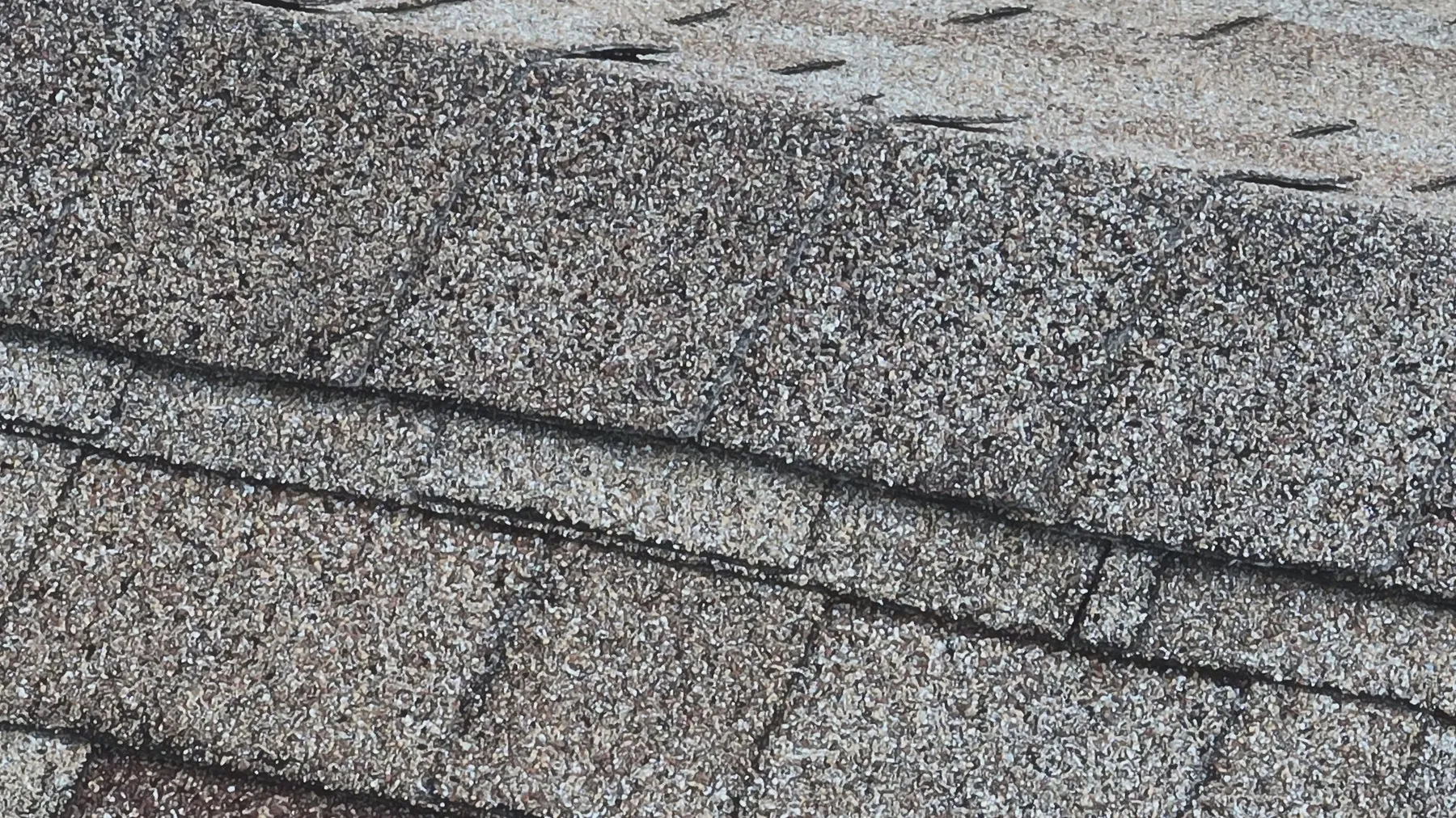
Start with what the team needs to understand. It may be a post-storm visual record, a roof overview, a visible equipment check, a solar-array review or documentation before a contractor visit. The site address, known concern, priority areas, access details and intended audience help determine the coverage.
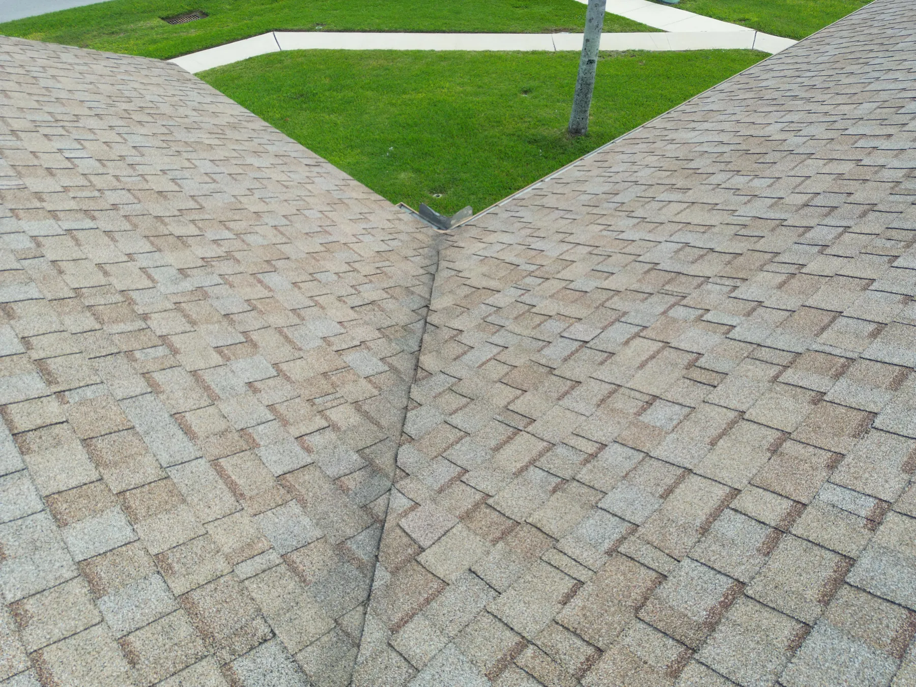
The flight moves from property-wide orientation to roof sections, equipment zones and selected closer views. Visible-light images describe what can be seen, such as surface condition, standing water, debris, access, roof penetrations or the relationship between an area and nearby equipment. They do not label a cause the image cannot confirm.
When thermal capture is part of the assignment, it is paired with visible-light context and planned around conditions that affect the reading. A relative temperature pattern can direct attention to an area for further assessment. It is a screening and documentation tool, not a repair recommendation or a substitute for qualified testing.
Files can be grouped by property, date, roof section or priority area, with broad reference images leading into closer views. That makes the material easier to use in an internal review, contractor briefing, maintenance file or insurance conversation, especially for people who were not on site during the flight.
The right deliverable is often a concise, clearly labelled selection for quick review alongside a complete image library for the team that needs the full record. It keeps the immediate decision simple without losing the broader visual context.
Aerial inspection imagery is especially helpful when the priority is visible documentation, access is difficult or a team needs to compare several areas quickly. It can show roof layout, equipment placement, visible exterior conditions, site circulation and the broader setting around a concern. For a large property, that perspective can help the right specialist arrive better prepared.
It is not a substitute for a roof inspection, engineering opinion, electrical test or mechanical diagnosis. A camera can record a visible condition or a relative temperature pattern. It cannot determine the integrity of a roof assembly, the source of a leak, the electrical performance of a solar system or the safety of equipment without the appropriate professional assessment.
When the concern is a commercial solar array, the dedicated drone solar panel inspection service adds a focused approach to visible-light and thermal coverage. When the need is a measured overhead site reference or a construction record, drone mapping services and construction progress photography may be the better fit. Choosing the deliverable around the decision keeps the final material useful.
A drone can document visible roof conditions, equipment placement, exterior features, drainage context, site access, storm-related conditions and areas that need a closer look. It gives the next reviewer a clear visual reference, especially where access is limited or the property is large.
No. Aerial imagery can document what is visible and, when appropriate, show relative temperature patterns. It does not replace a qualified roof, electrical, mechanical or engineering assessment. The imagery helps direct that follow-up to the right area.
Thermal imaging can be useful when a property team has a specific question about a roof, solar array or equipment area and conditions support meaningful capture. Weather, sunlight, wind, recent rain and equipment operation affect the image, so timing is planned around the assignment.
Share the property address, reason for the inspection, priority areas, site contact, access instructions, active work, known concerns and any restricted areas. A roof plan, maintenance notes or reference photos can help make the flight more useful.
Get a clearer view before the next site decision.
Request an inspection plan →