Construction Drone Photography Pricing: What Shapes the Cost?
A clear way to compare construction drone photography quotes, choose the right visit schedule and request a useful visual record.
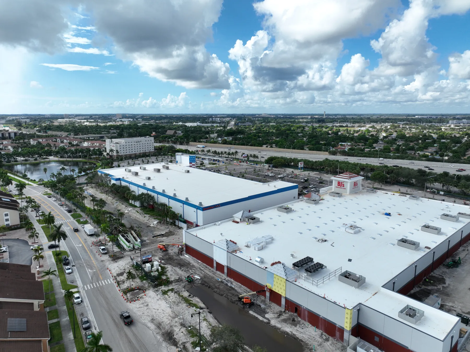
Construction drone photography pricing is easier to understand when a project team starts with the record it needs, rather than a generic flight. A one-time aerial visit for a lender update is different from a repeat program that documents excavation, structure, enclosure and closeout. The site size matters, but so do the number of locations, priority views, access conditions, airspace, turnaround and how the finished images will be organized.
The right quote should make those choices visible. It should explain what will be captured, how often the pilot will return, who will receive the images and what the delivery will help them do. That approach keeps a construction team from comparing two prices that appear similar but produce very different records. It also helps avoid paying for mapping, video or a large image library when a concise, repeatable progress set would do the job better.
This guide explains the practical factors behind construction drone photography cost and the questions to ask before approving a visit. It does not set a universal price. A useful scope depends on the site, the timing and the decision the images need to support.
Start with the job the images need to do
Before comparing quotes, name the decision behind the request. An owner may need a clear milestone update. A construction manager may need repeatable views for a monthly report. A lender may need a dated record that shows visible progress. A marketing team may need a separate group of approved images that presents the finished project well. Each purpose changes the right capture plan.
A vague request for drone photos often leads to a vague quote. A better brief explains the site, current phase, priority areas, intended audience and whether the images must be comparable with a future visit. That gives the pilot enough context to recommend a one-time assignment, a repeat progress schedule, a mapping deliverable or a combination of these services. The existing construction progress photography guide can help teams define the views that need to be repeated over time.
The most economical option is not always the shortest flight. A small amount of planning can prevent an otherwise inexpensive image set from becoming hard to use because no one can tell where a detail was captured or how it relates to the broader site.
Site size and complexity shape the flight plan
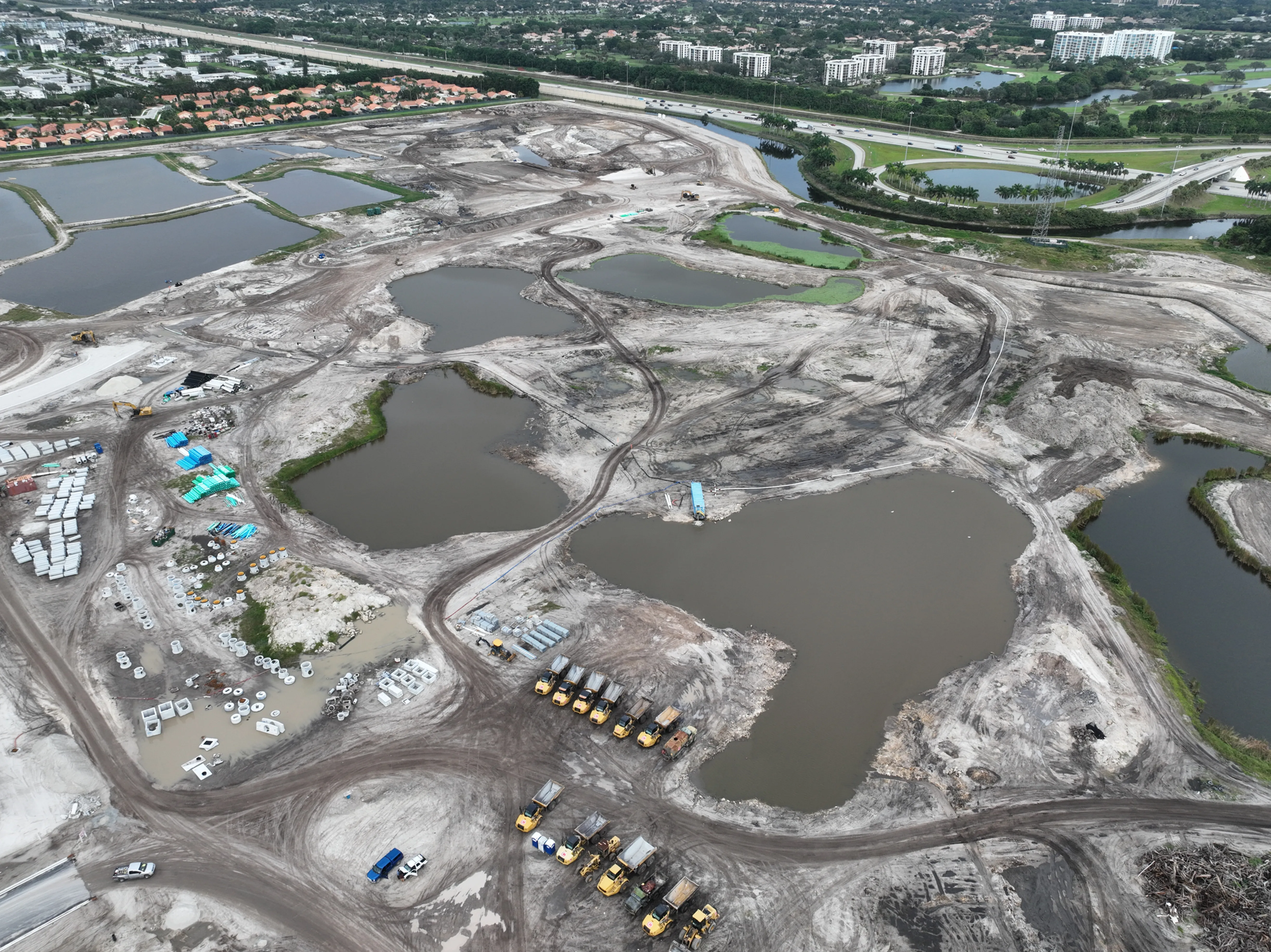
A larger site usually needs more coverage, but acreage alone does not define the work. A compact urban project may need careful planning around neighboring buildings, traffic, launch space, cranes, restricted areas and site activity. A multi-building project may need separate overview views, detail coverage for each structure and a clear sequence that lets a reviewer move from the whole property to a specific area.
Complexity also affects coordination. The pilot may need a site contact, access instructions, safety requirements, a place to launch and land, and information about active lifts, deliveries or changing work zones. Commercial drone operations must be planned around applicable operating rules and airspace. The Federal Aviation Administration's commercial operator guidance explains the operating framework, while the federal visual-line-of-sight rule requires the aircraft to remain visible to the pilot or visual observer.
These are not hidden extras. They are part of getting a safe, useful flight. A strong quote acknowledges the real site conditions instead of treating every construction address as the same assignment.
One visit and a repeat program are different purchases
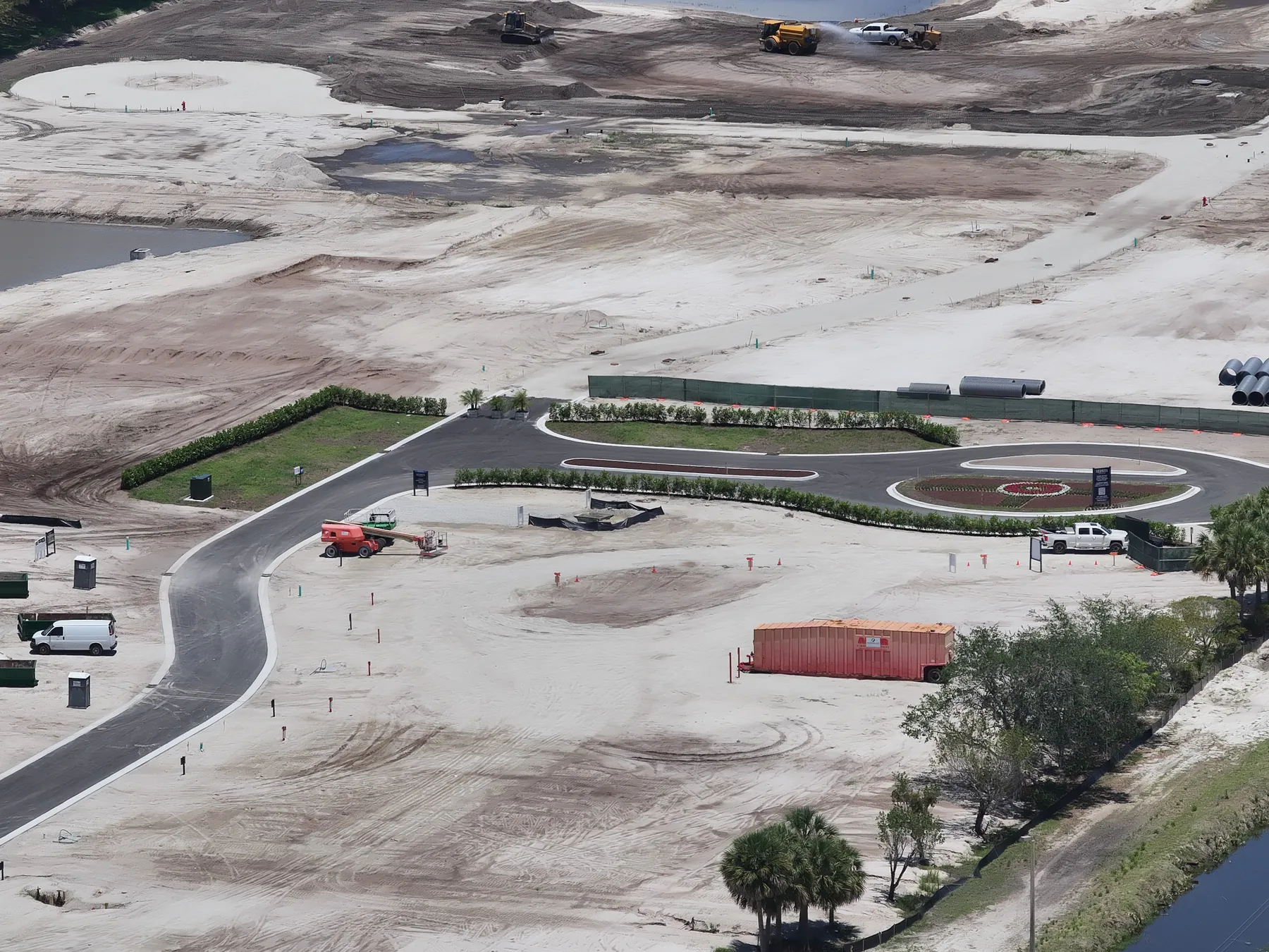
A single drone visit can be the right choice for a specific milestone, a preconstruction baseline, a project presentation, a weather-related record or a closeout image set. The scope should state which areas will be photographed and whether the delivery needs broad context, closer details, video or a selected set for sharing. One visit is about answering a defined question at one point in time.
Repeat construction photography is different because consistency becomes part of the value. The same broad angles, heights and viewing directions are planned early and recreated as the site changes. That makes it easier for owners, lenders and off-site stakeholders to compare one visit with the next. It can also reduce repeated planning when the project team keeps a stable contact, access process and shot list.
Ask whether the schedule should follow the calendar or the work. Monthly coverage can work well for a steady project. Faster-moving phases, such as earthwork, structural work or building enclosure, may need a closer rhythm. A thoughtful program can change frequency with the project rather than collecting the same amount of imagery every month simply because the schedule says so.
Deliverables have the biggest effect on usefulness
Aerial photography can mean very different things in a proposal. One scope may include a focused selection of edited stills. Another may include a larger date-organized library, repeatable progress angles, a short video sequence, an orthomosaic or both aerial and ground coverage. Each has a different purpose, so it helps to ask for the delivery in plain language before comparing cost.
For a project update, a useful package often starts with wide site context, then moves to medium views of the active areas and closer images of visible milestones. That structure helps a person who was not on site understand the images quickly. For a presentation or marketing use, image selection, visual finish and approvals may matter more. For a site reference, construction and mapping coverage can be a better fit when the team needs an overhead deliverable rather than perspective photography.
The key is to match the deliverable to the decision. Paying for an elaborate product that nobody will use wastes budget. Ordering a few attractive images when the team needs a dated, repeatable record creates a different kind of waste later.
Turnaround, access and timing can change the scope
The calendar can affect both the flight plan and the delivery. A routine visit with flexible timing gives the pilot room to choose safe weather and work around site activity. A request tied to a board meeting, lender draw, project event or post-storm review may need a faster turnaround, a narrower shot list or a specific capture window. Make the desired delivery date part of the original brief.
Construction sites are active workplaces, not photo sets. The team should share operating hours, gate procedures, required protective equipment, active hazards, restricted areas and the person who can make decisions on site. A clear access plan helps the visit run efficiently and reduces the risk that a pilot arrives without the information needed to capture the right views.
Weather is part of the schedule too. Rain, high winds, poor visibility and changing site conditions can affect both safety and image quality. A responsible scope should explain what happens when the planned flight needs to move to a better window. The goal is a useful record, not an aircraft in the air at any cost.
Use a quote checklist before choosing a provider
A good construction drone photography quote should identify the site or sites, the purpose of the visit, the project phase, the priority views, the flight schedule, the expected imagery, the delivery format, the turnaround, the site-access needs and any optional work. It should also make clear whether the assignment is a one-time record or a repeat program designed for comparison.
For a repeat program, ask how the pilot will preserve the same broad viewpoints and how files will be organized by visit date. For a focused issue or milestone, ask how the final set will show both overall location and relevant detail. For public-facing use, ask what needs approval before images are shared. Those answers often reveal more about value than a single line-item price.
Avoid asking a drone image to do work it cannot do. Photography can document visible conditions and progress. It does not establish property boundaries, verify measurements, certify work, replace a survey or diagnose a concealed condition. When the question requires those conclusions, the right specialist should be part of the plan.
Compare the scope, not only the number
When two proposals have different totals, put the scope beside each other before choosing. Check whether both cover the same site areas, image count, editing, repeat angles, delivery organization, travel, planning time and turnaround. A lower price may be the better fit when the assignment is genuinely simple. It is not the better value if it leaves out the views or file structure that the project team needs afterward.
It also helps to separate photography from other aerial work. An orthomosaic, volume calculation, thermal capture, cinematic video or a long-term timelapse sequence can be useful, but each answers a different question. Adding every option to a routine progress visit can obscure the actual need. Leaving out the one deliverable that would make an owner update or coordination meeting clearer can do the same.
A practical comparison asks three questions: What decision will this set of images support? What will the recipient receive after the flight? What would make the same visit more useful six weeks from now? The answers create a shared standard for the quote and give the construction team a straightforward way to approve the right scope.
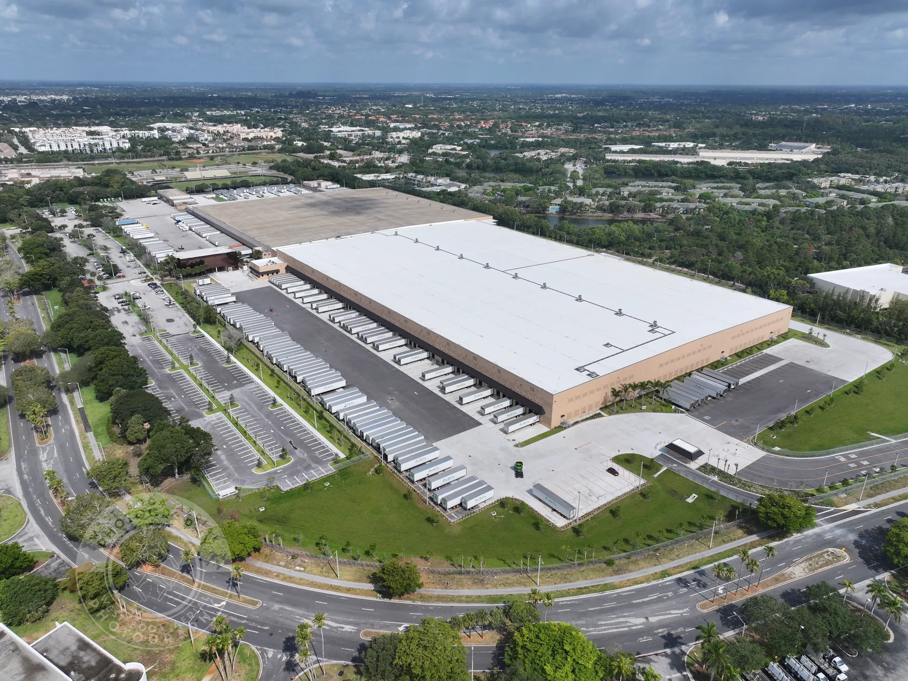
How West Boca Aerial Photography plans a practical scope
West Boca Aerial Photography begins with the site, the project phase and the decision the finished imagery needs to support. Construction teams can request a focused milestone visit, repeatable progress coverage, high-resolution stills, video or a mapping deliverable when an overhead site reference is the better tool. The aim is to give the people who need the record a clear view of the work, not just a folder of attractive aerial images.
For a project-specific plan, share the address, stage of work, timeline, priority views, access requirements, intended audience and whether future comparison matters. The construction drone photography service explains the available coverage, while the Executive Center Project portfolio shows an example of commercial construction field work. When the brief is clear, the quote can be clear too.
Frequently asked questions
How much does construction drone photography cost?
The cost depends on the site, project phase, number of locations, flight complexity, schedule, deliverables, turnaround and access requirements. A focused one-time milestone visit and a repeat progress program are different scopes, so the most useful quote starts with what the images need to help the team decide or document.
What should be included in a construction drone photography quote?
The quote should state the site, purpose, priority views, schedule, expected imagery, delivery format, turnaround, access requirements and any optional work such as video or mapping. For recurring coverage, it should also explain how repeat viewpoints and date-organized files will be handled.
Is a repeat drone photography program better than a one-time visit?
A repeat program is useful when stakeholders need to compare change over time, document milestones or create a consistent visual history of the project. A one-time visit can be better for a specific milestone, presentation, baseline or closeout record. The right choice depends on the decision the images need to support.
Can construction drone photography replace a survey or inspection?
No. Drone photography can document visible conditions, site context and progress from the date of capture. It does not establish boundaries, certify work, verify measurements, diagnose concealed conditions or replace the appropriate survey, engineering, inspection or trade professional.
Related posts
Construction Progress Photography: What to Capture and When
A practical capture plan for owners, contractors and project teams who need a clear visual record of a job as it moves.
Read the guide →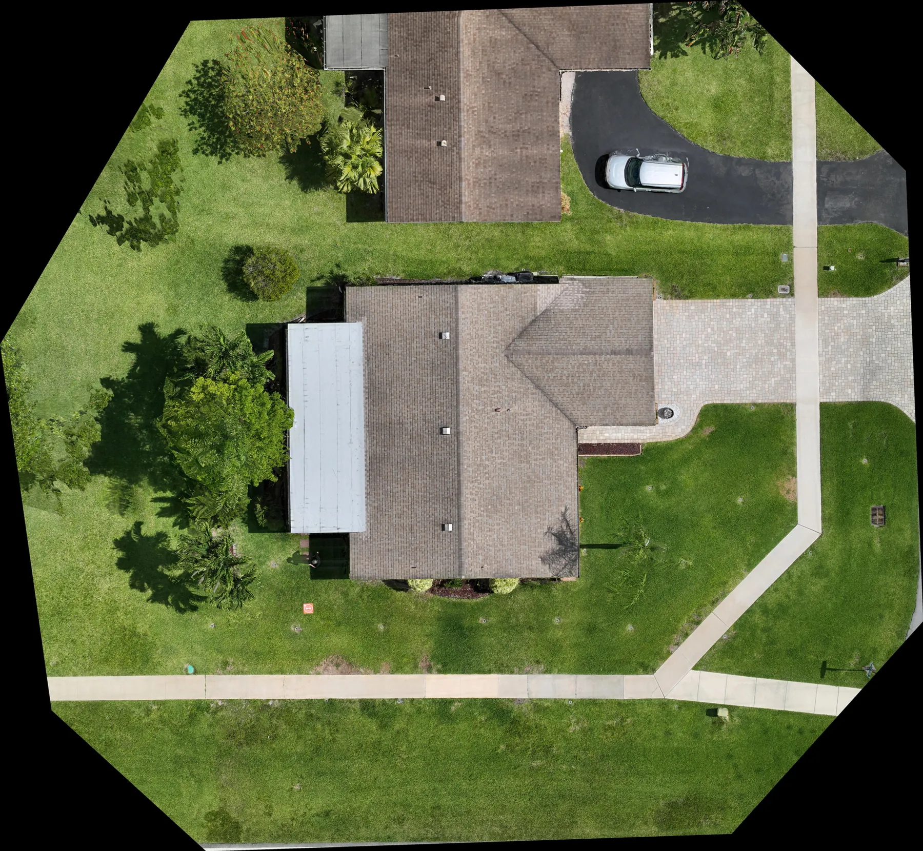
Construction Aerial Drone Photography: A Planning Guide
How to plan aerial construction photography that gives project teams useful site context, repeatable records and clear updates.
Read the guide →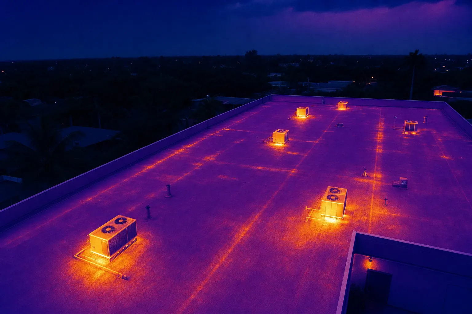
Drone Solar Panel Inspection: A Planning Guide
What a drone inspection can show, how thermal imaging fits in and what to define before a solar site is flown.
Read the guide →