Property Context
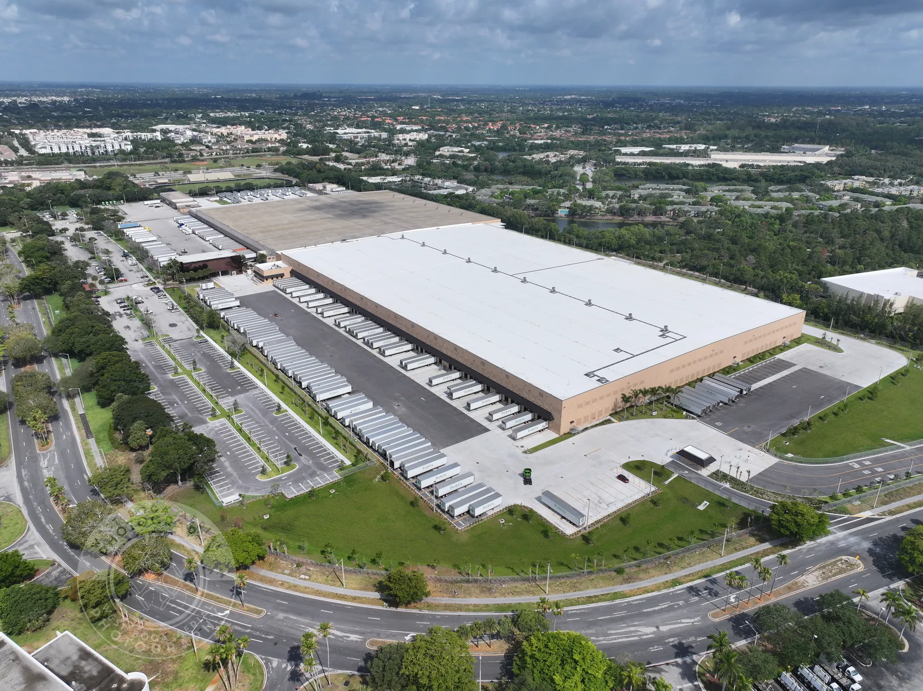
Wide aerial views make approach routes, parking, rooflines, neighboring uses, access and site scale easier to understand before attention moves to the detail.
Planned aerial photography for properties, projects and places that need a clearer view.
Commercial drone photography gives a property, project or place the context that ground-level images can miss. A well-planned aerial image can show how a building sits within its approach, parking, roof area, neighboring uses, landscape or work zone. For someone who has not visited the site, that perspective can make a proposal, update or property story easier to grasp quickly.
The best aerial photographs are not chosen because they are high in the air. They are chosen because they answer a practical question. A property team may need to show access and scale. A construction manager may need a repeatable view that documents a milestone. A developer may need images that explain the relationship between a site, nearby amenities and the surrounding area. The purpose determines the route, altitude, timing and final selection.
West Boca Aerial Photography plans commercial drone photography around that purpose. The work begins with the site and the audience, then moves to the views that will still be useful after the flight. The finished set can give a marketing team polished imagery, provide stakeholders with visual context or create an organized reference for a changing project.
For assignments that also need motion, the same visit can include commercial drone videography. Still photography and video play different roles, but a coordinated plan lets the team use each format where it is strongest.
Wide aerial views make approach routes, parking, rooflines, neighboring uses, access and site scale easier to understand before attention moves to the detail.
For construction, redevelopment and facilities work, deliberate views can create a dated visual record of progress, conditions and the relationship between work areas.
The image set is planned around its job, whether that is a listing, proposal, project update, presentation, web feature or an internal site reference.
Before the flight, it helps to identify the decision the images will support. That could be a listing launch, a development update, a property overview, an investor presentation, a facilities record or a public-facing project story. The answer narrows the shot list to the site features that deserve attention instead of producing a large collection of loosely related views.
A clear brief also covers the conditions on the ground. The site contact can flag active work, deliveries, restricted areas, sensitive views, preferred timing, parking, launch access and any people or equipment that need to be avoided. On an active commercial site, those details make the flight more efficient and help the photographer work safely around the operation.
From there, a useful sequence often moves from broad context to a closer view. A higher image can establish the site within its surroundings. Mid-level images can show access, circulation, rooflines or project scale. Lower perspectives can bring out architecture, site features or the relationship between buildings and landscaped areas. Each image has a place in the larger record.
Explore commercial imagery →Explore construction progress photography →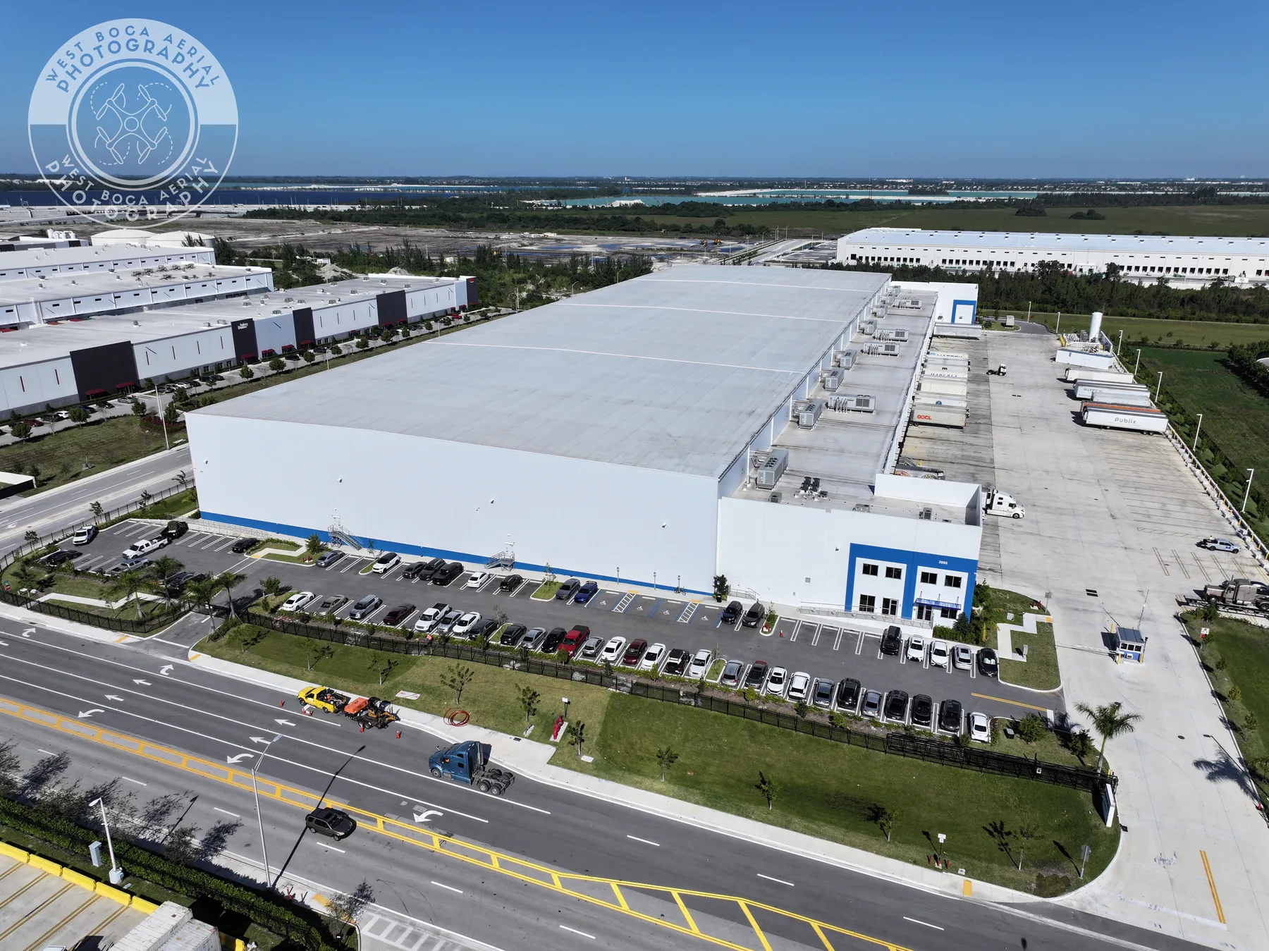
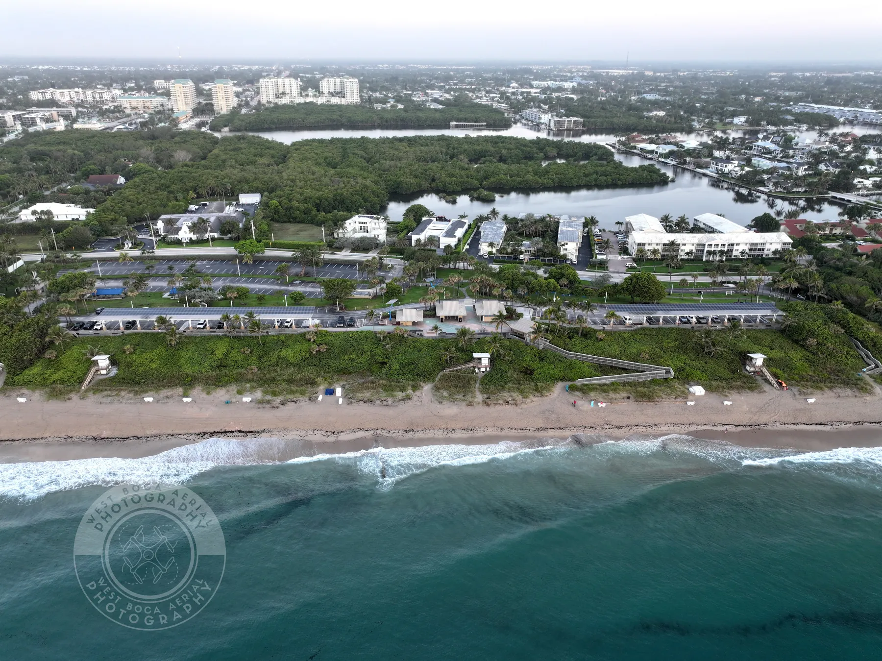
Start with who will use the images and what they need to understand. A buyer, tenant, owner, project manager, community stakeholder or marketing team may need a different view of the same site. The pre-flight plan identifies priority features, intended use and any restrictions before the shot list is set.
The flight creates a deliberate mix of establishing views, useful angles and closer details. This helps a viewer locate each image within the property or project instead of seeing isolated aerial photos that are difficult to interpret later.
Images can be grouped around the assignment so the right people can review and use them efficiently. For recurring work, repeatable viewpoints and dated folders can make progress easier to compare as the site changes.
For commercial property, aerial photography can make the setting tangible before a prospective buyer, tenant, investor or partner arrives. It can show the building in relation to roads, neighboring properties, waterfront, green space, parking or nearby amenities. Ground photography still matters for close detail and interior features, while aerial coverage makes the broader relationship visible.
For construction and development, a planned aerial image set can help project teams communicate progress without asking every stakeholder to walk the site. Repeatable views can establish what was visible at a milestone, while project-specific images can show grading, structure, circulation, landscaping or the relationship between completed and active areas. The finished imagery can support updates, presentations and approved marketing material.
For a property undergoing change, the timing of the flight matters as much as the camera angle. A pre-construction set can establish the condition and setting before work begins. A milestone visit can preserve a phase that will soon be covered, altered or difficult to reach. A completed-project set can bring the finished site, circulation and landscape together for the people who need to present or retain the work. Planning those moments in advance creates a more useful record than waiting until an important view is gone.
The final selection should also respect the boundary between a useful site record and a public image library. Some views may be intended for the owner or project team only, while others are chosen for an approved listing, presentation or campaign. Establishing that distinction before the flight helps keep sensitive areas, people and unfinished work out of the wrong deliverable without making the visual story less clear.
For facilities, municipalities and public spaces, the aerial view can turn a complex footprint into a clear reference. It can help explain a campus, park, infrastructure asset or large property to people who need a practical overview. When the need is measurement or a detailed overhead reference rather than presentation imagery, drone mapping services may be the better fit.
The goal is simple: make the next conversation more informed. West Boca Aerial Photography brings the right view into focus, then delivers the image set in a form that is useful beyond the day of the flight.
West Boca Aerial Photography plans aerial photography for commercial property, construction and development, facilities, public spaces, hospitality, infrastructure and other assignments where a higher view helps explain the site.
Yes. Each flight is coordinated around the site contact, active work, people and vehicles, access, restricted areas, safe launch space, weather and applicable airspace requirements.
Yes. When the assignment needs both still images and motion, the capture plan can include each format so the site is photographed consistently and the visit is used efficiently.
Send the site address, the reason for the photography, intended audience, priority areas, timing, access details, on-site contact, active work and any restrictions. A site plan or reference images can help focus the flight.
Give the site a clearer point of view.
Request a photo flight plan →