Drones in Construction: A Practical Site Guide
How construction teams can plan aerial coverage that documents progress, supports coordination and delivers a record people can use.
Drones in construction are most useful when they answer a clear site question. A project team may need to show a lender what changed before a draw, give an owner a concise progress update, establish a record before a condition is covered, or help a remote stakeholder understand access, staging and the relationship between parts of a job. Aerial imagery can make those questions easier to discuss because it shows the work in context.
The aircraft is only one part of the assignment. Useful construction coverage depends on the plan around it: the milestone to document, the views that should be repeated, site access, active work, airspace, weather and the way the finished images will be organized. Without that structure, even a sharp aerial image can become another file that nobody can find or compare when a decision needs to be made.
This guide explains where drones fit on a construction project, how to define a useful capture plan and what a construction team should provide before a flight. It also sets an important boundary. Aerial imagery can support site coordination and documentation, but it does not replace site supervision, safety procedures, inspections or the judgment of the professionals responsible for the work.
Start with the construction decision, not the camera
Construction teams get more value from aerial coverage when the purpose is specific. Before the first visit, identify the question that the image set should answer. That may be a dated baseline before demolition, a clear view of grading and drainage, a structural milestone, a roof or facade condition, the changing site footprint, material staging, access routes or a completion record for marketing and turnover.
The people who will use the images should shape the scope. An owner may need a short set of clear overviews for a meeting. A superintendent may need a broader record that can be compared with the prior visit. A lender or investor may need proof of a defined milestone. A marketing team may need a polished selection that presents the project without exposing sensitive details. Those are related requests, but they are not interchangeable, so the capture plan should not be generic.
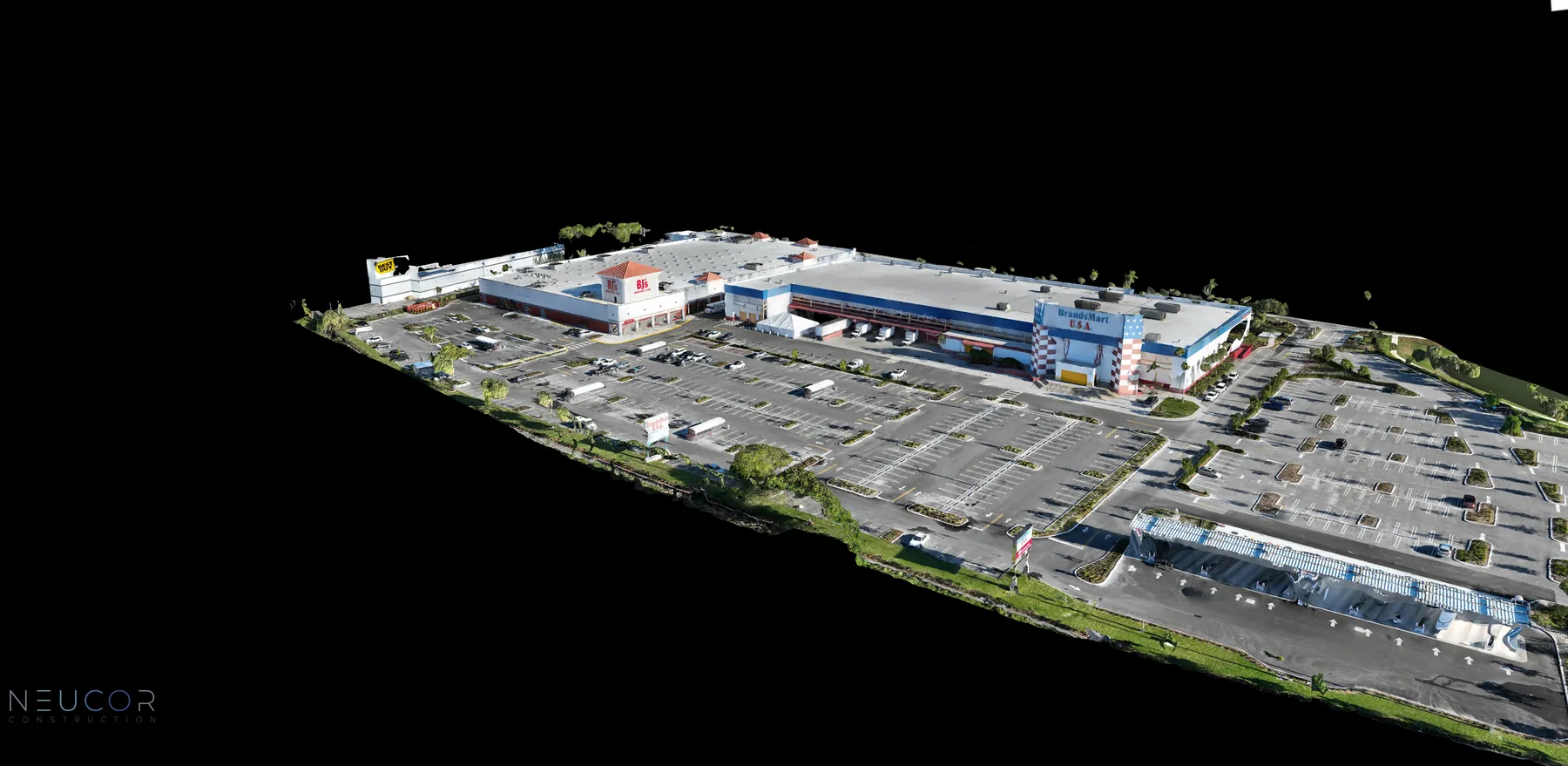
For a repeatable visual record from preconstruction through closeout, the construction progress photography guide outlines the milestones and reference views worth planning before the site changes. When the project also needs a measured overhead reference, construction and mapping coverage can add an orthomosaic or consistent site overview alongside perspective photography.
Build a repeatable flight and shot plan
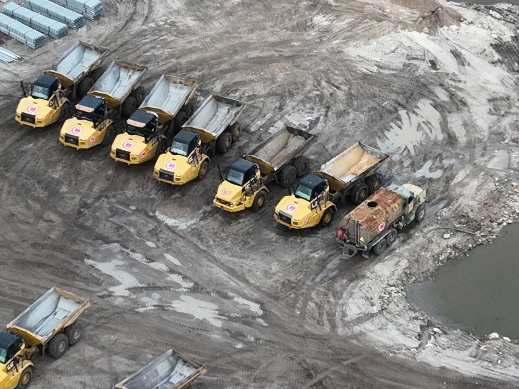
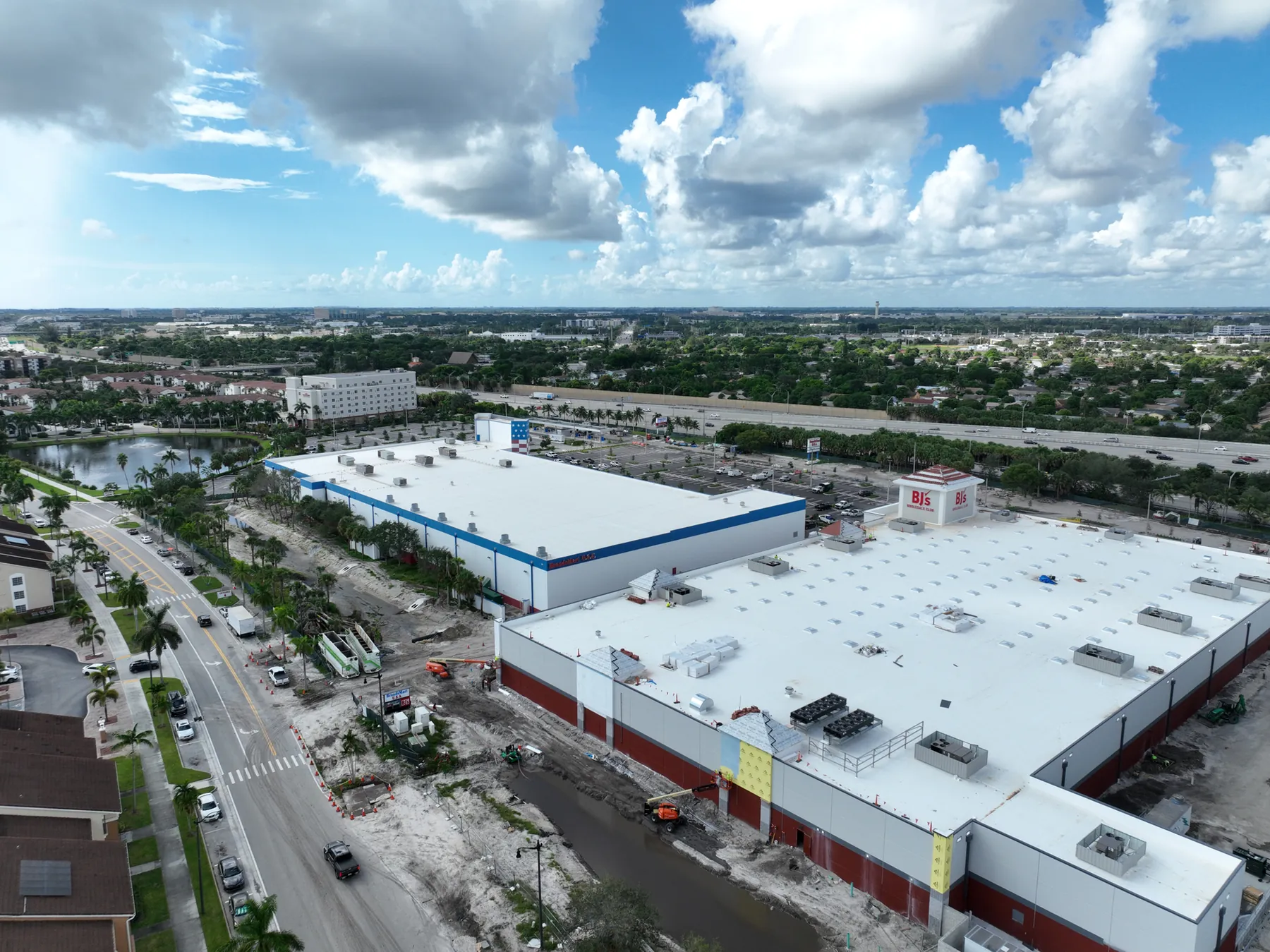
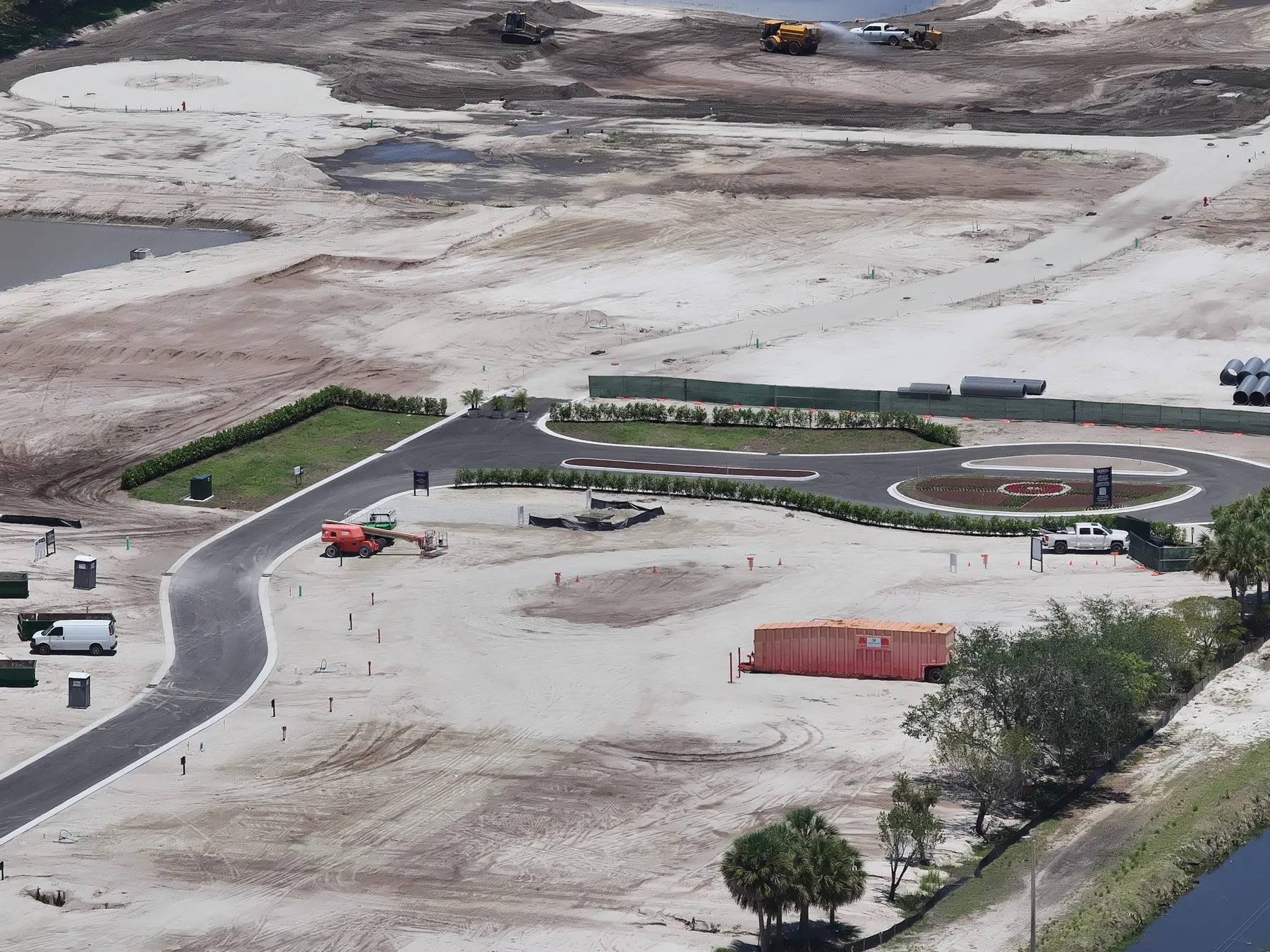
A good construction flight plan begins with a small set of repeatable reference views. A high overall view can show the full footprint and its relationship to adjacent roads or properties. Lower oblique views can show elevations, access, laydown areas, parking or site circulation. A more focused angle can document a particular work zone, roof area, utility route or feature that will soon be concealed.
The goal is not to capture every possible angle. It is to identify the views that will make comparison simple over time. Record the starting height, direction and framing for the key viewpoints, then recreate them as closely as site conditions allow. When an angle cannot be repeated because of a crane, a closed road, active lift work or a new structure, note the reason. A documented limitation is far more useful than an unexplained change in perspective.
A project also benefits from a separate list of one-time views. These are the moments that may disappear between visits: excavation, underground utilities, slab preparation, structural connections, envelope work, equipment placement, paving or landscaping before completion. Pairing a repeatable baseline with these milestone-specific views gives the team both continuity and detail.
Coordinate the flight with the work happening below
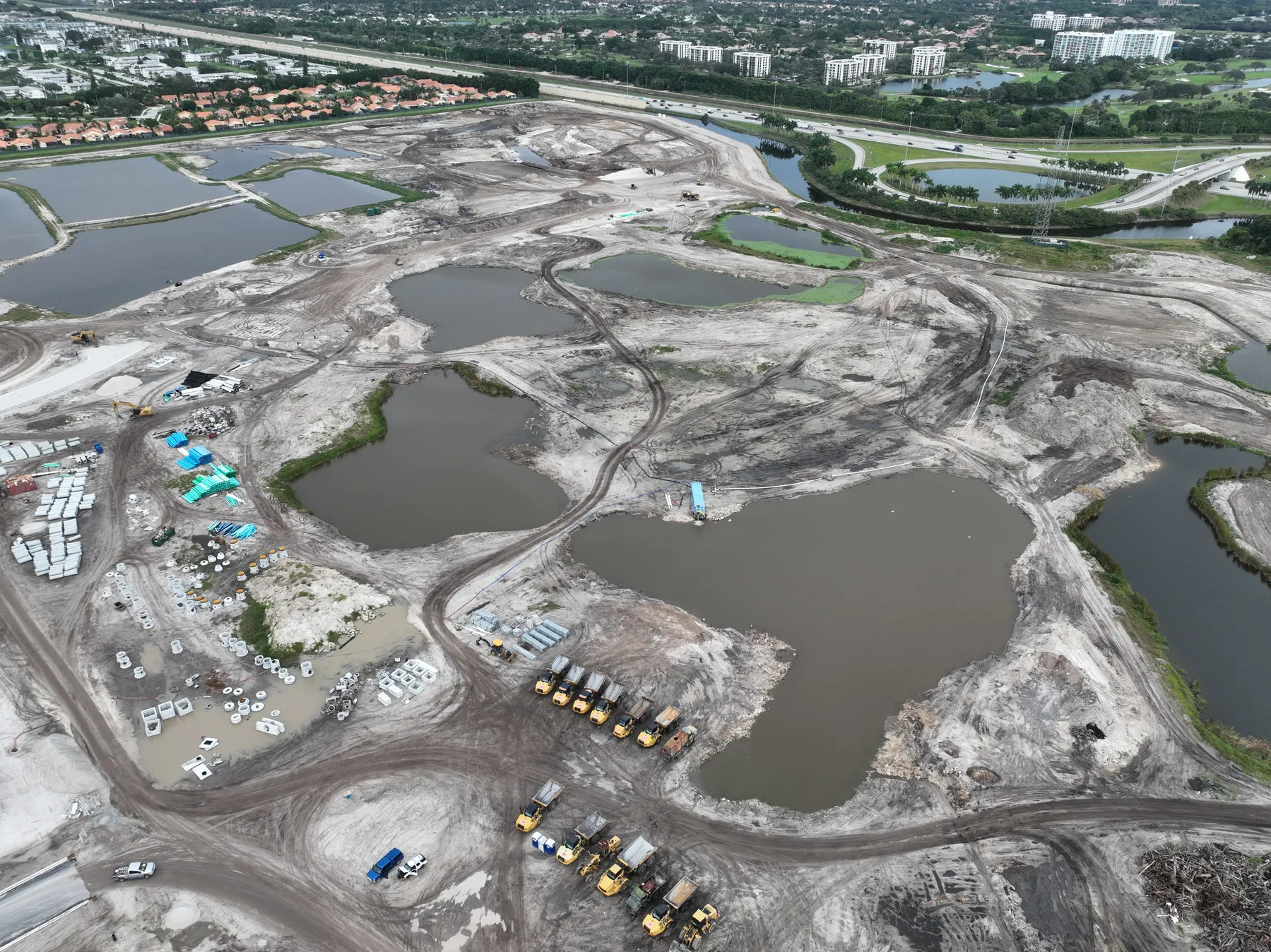
An active jobsite is not a photo set. Deliveries, lifts, cranes, trucks, crews on foot and changing access can alter the safest capture plan within a few hours. Share the site contact, work hours, entry instructions, active hazards, required protective equipment and any areas that should not be photographed before the visit. That gives the pilot time to choose a workable launch area and keep the assignment from interrupting the work it is meant to document.
The site team should also explain what will be different on the day of capture. A concrete pour, a large delivery, a temporary road closure, a roof crew or a crane pick may make a previously planned angle inappropriate. The useful response is not to force the original plan. It is to preserve the highest-priority views, adjust the sequence and document what changed so the finished record remains honest.
Construction is recognized by the Occupational Safety and Health Administration as a high-hazard industry. Aerial capture can provide valuable context from outside the work area, but it should follow the site’s own safety process and never be used as a reason to bypass it.
Plan for airspace, weather and temporary obstacles
A clear view of a building does not make a construction drone flight automatic. Commercial operations need to be planned around applicable aviation rules, the available operating area and the conditions at the site. The Federal Aviation Administration’s commercial operator guidance is the starting point for business flights, and the planned route has to work with the project rather than competing with it.
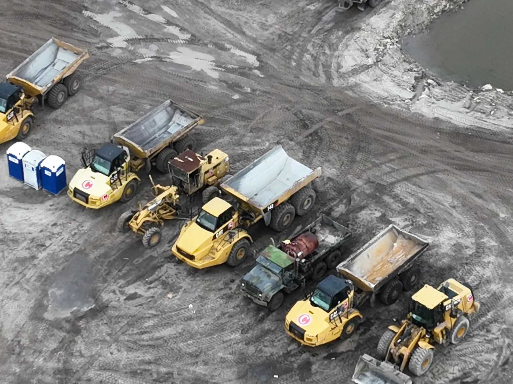
On a jobsite, temporary obstacles deserve the same attention as permanent ones. Cranes, boom lifts, scaffolding, cables, material hoists and changing building height can all affect the route and the pilot’s ability to keep the aircraft in sight. The federal visual-line-of-sight requirement is one practical reason the pilot needs a suitable operating position and a route that does not disappear behind structures or equipment.
Airspace can affect timing too. In controlled airspace, a flight may require authorization through the FAA’s LAANC system. Wind, rain, low visibility and rapidly changing light can also influence the safe or useful capture window. A professional plan leaves room to reschedule or adjust the flight when conditions do not support the work.
Use the right aerial product for the job
Perspective photography, video and mapping each have different jobs. Oblique photographs are often the clearest way to show scale, elevation, access and the relationship between work areas. Video can help an owner or stakeholder understand a larger site quickly, especially when the route is planned around a clear story. A consistent overhead image or orthomosaic can help teams orient themselves across a broad footprint.
The strongest assignments often combine these formats deliberately. A high overview can establish the site. Repeated oblique views can show visible progress from a familiar angle. A focused image set can record a work area or exterior condition in more detail. The construction aerial photography guide explains how to use those broad, medium and detail views together so the final record does more than provide a dramatic flyover.
Aerial coverage also has limits. It cannot prove hidden conditions, verify dimensions without the right mapping scope, certify code compliance or replace a qualified inspection. When the question calls for close detail, interior information, testing or professional judgment, aerial images should complement the appropriate ground-level record and specialist review.
Make the finished record easy to use
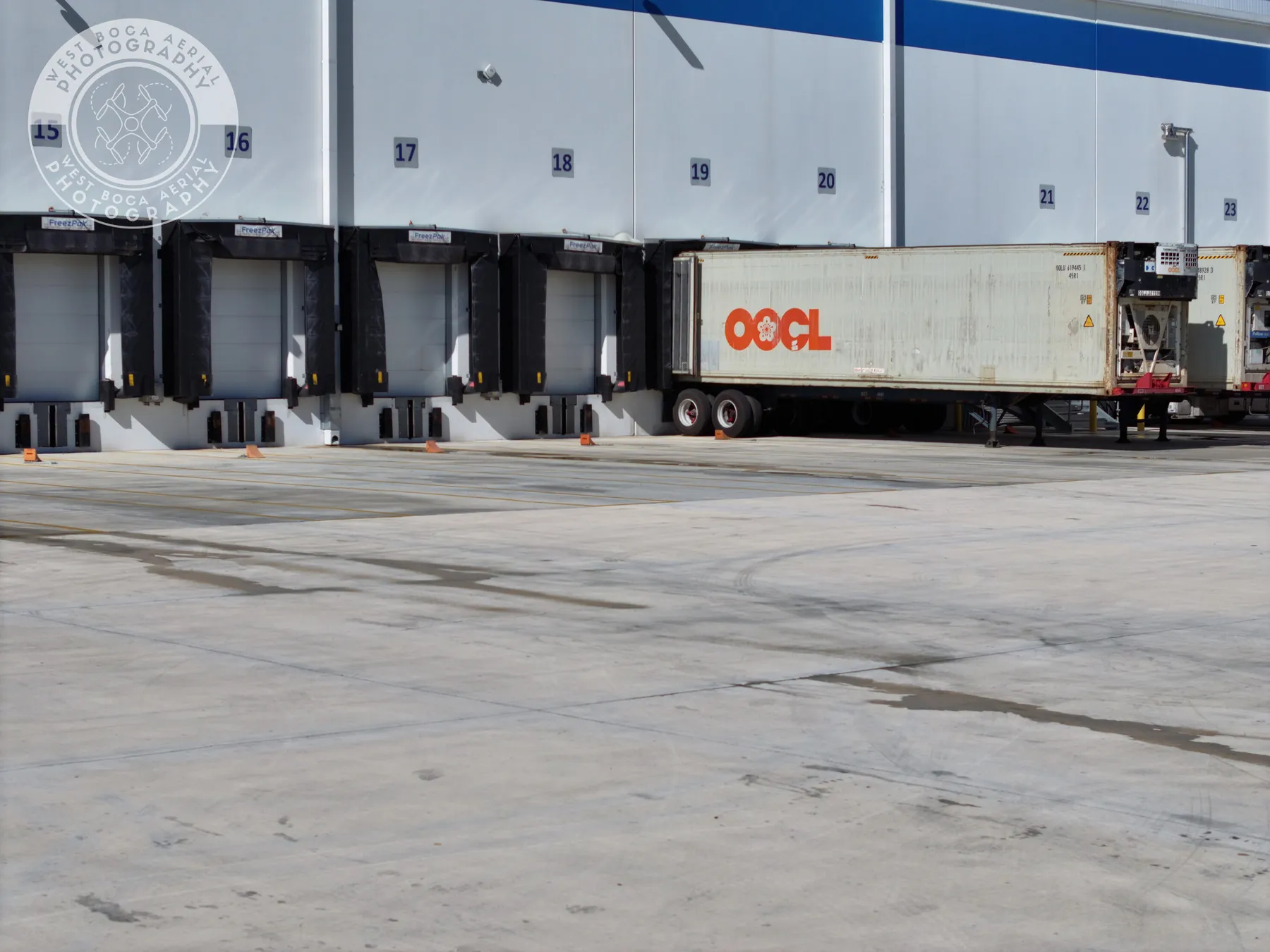
The delivery is where a drone flight becomes part of the project record. Organize images by project, capture date, area and milestone so a person who was not at the site can find the right view quickly. A simple file name or index can identify the location, direction and visible subject. When an image needs to support follow-up, include a broader orientation view before the closer detail.
Clear labels also protect the integrity of the record. A caption can describe an observable condition, such as “north elevation, east stair tower, September visit.” It should not claim a defect, measurement or completed task that the image alone cannot establish. That distinction keeps the imagery useful for coordination without creating an overconfident conclusion.
Decide early who receives the files and how quickly. A superintendent may need the full set, while an owner meeting may call for a concise selection. A marketing team may need different images from the project record. Setting those expectations before the flight lets the delivery match the real need instead of asking a generic folder to serve every audience.
How West Boca Aerial Photography supports construction teams
West Boca Aerial Photography plans construction coverage around the decision the imagery needs to support, from a one-time site record to recurring progress documentation. Assignments can include high-resolution aerial photography, repeatable project views, video and mapping capture for teams that need to understand the site, explain change or keep a usable visual record as work advances.
The team’s Executive Center project and Boca Raton housing development field work show the value of a clear overall perspective on an active project. To discuss a site-specific plan, share the address, project stage, priority views, site contact and any timing or access constraints through the project inquiry page.
Frequently asked questions
How are drones used in construction?
Construction teams use drones to document progress, show the relationship between work areas, create a dated site record, capture marketing imagery and provide a broader view for remote stakeholders. The useful scope depends on the project question, the milestone, the site conditions and the people who need to use the finished record.
Can a construction drone flight replace a site inspection?
No. Aerial imagery can document visible conditions and provide useful context, but it cannot inspect concealed areas, verify construction quality, certify compliance or replace the judgment of the qualified professionals responsible for supervision and inspection.
What should a construction team provide before a drone flight?
Provide the site address, primary contact, access instructions, work hours, active hazards, restricted areas, required protective equipment and the key views or milestones to document. Reference images, a site plan and the intended audience for the final delivery also help create a more useful flight plan.
How often should drones photograph a construction site?
The right schedule follows the pace of the work and the decisions the record needs to support. Some projects benefit from monthly or milestone-based visits, while fast-moving work may need more frequent coverage. A one-time flight can also be useful when planned around a specific condition, phase or project update.
Related posts
Construction Progress Photography: What to Capture and When
A practical capture plan for owners, contractors and project teams who need a clear visual record of a job as it moves.
Read the guide →
Construction Aerial Drone Photography: A Planning Guide
How to plan aerial construction photography that gives project teams useful site context, repeatable records and clear updates.
Read the guide →
Drone Solar Panel Inspection: A Planning Guide
What a drone inspection can show, how thermal imaging fits in and what to define before a solar site is flown.
Read the guide →