Property Context
Aerial views can place a building, lot, access route, parking area, water feature or surrounding amenity in one clear frame before the viewer ever arrives.
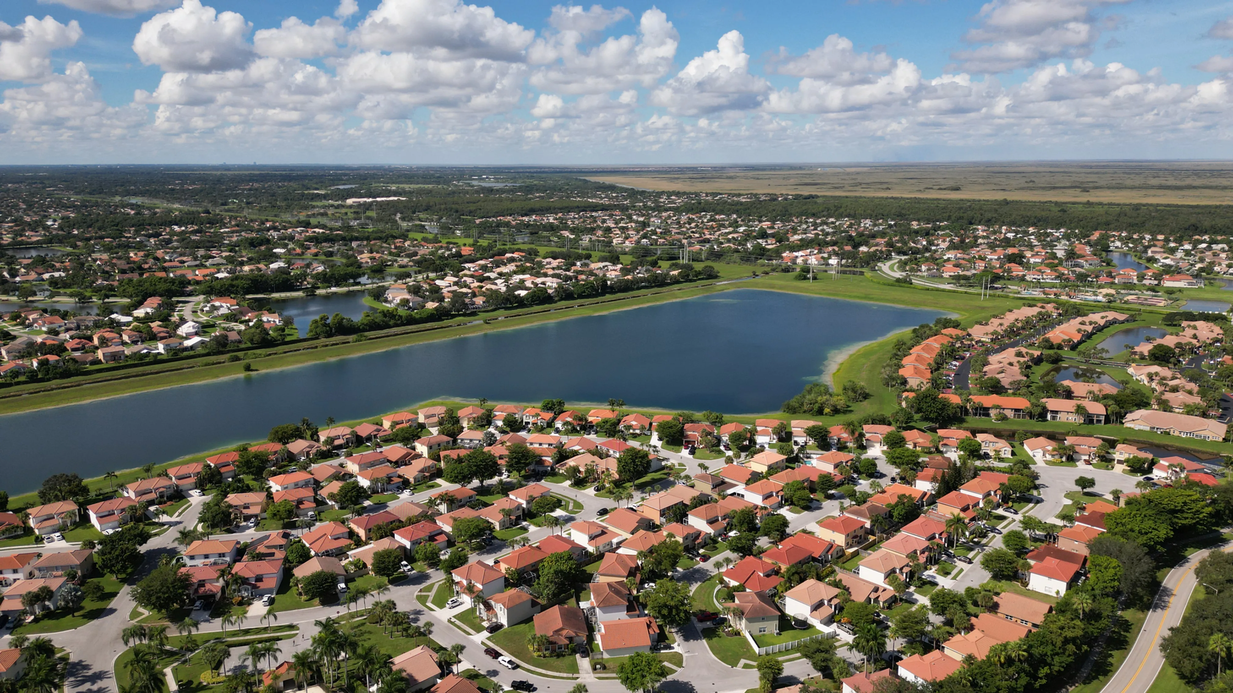
Purposeful aerial imagery for properties that need their setting, scale and strongest features to read clearly.
For a buyer, tenant, investor or project partner, a property often makes more sense once they can see its wider setting. Aerial real estate photography can show the relationship between a building and its approach, surrounding streets, water, open space, parking, roof area or neighboring uses. That context is difficult to recreate with ground-level photographs alone, especially for a large site or a property that will be reviewed by people who cannot visit right away.
West Boca Aerial Photography plans Miami property flights around the decision the images need to support. A commercial broker may need to explain access and scale. A development team may need a current view of the site before a presentation. An owner may need marketing imagery that makes a waterfront, campus, land parcel or mixed-use property easier to understand at a glance. Those jobs call for different angles, timing and priorities, so the flight starts with a focused brief instead of a generic pass over the property.
The aim is not simply to make a property look dramatic from the air. It is to create a visual set that helps the right audience understand why the property matters. A broad establishing image can orient a viewer. A lower angle can bring out architecture or a key exterior feature. A carefully chosen frame can make the link between the site and an amenity, access route or surrounding district immediately clear.
For assignments that also need movement, commercial drone videography can be coordinated with the still-image plan. The two formats serve different roles, and planning them together makes better use of the visit.
Aerial views can place a building, lot, access route, parking area, water feature or surrounding amenity in one clear frame before the viewer ever arrives.
The flight plan is shaped around the features that deserve emphasis, from the site approach and exterior scale to views that help explain the property story.
The finished selection is organized for the people presenting the property, whether they are preparing a listing, investor material, leasing package or development update.
The most valuable aerial image is rarely an accidental one. Before the flight, it helps to identify who will see the images and what they need to understand. A listing launch may need a polished view of the property, lot and nearby setting. A leasing or investment conversation may need parking, access, rooftop context or the relationship to surrounding commercial activity. A development update may need an honest record of visible progress and site conditions.
That purpose guides the shot list. The flight can begin with a wider image that establishes the property in its surroundings, then move toward mid-level perspectives and selected closer views. The sequence gives a viewer a natural way to understand where they are looking before focusing on the feature that matters. It also helps the final selection work together rather than feeling like a folder of unrelated drone shots.
Site coordination matters just as much. A contact can identify active work, vehicle movement, restricted areas, tenant or visitor activity, preferred timing, safe launch space and any views that require discretion. Those details help the pilot work responsibly around the property and concentrate the visit on images that will still be useful once the setting changes.
Explore real estate coverage →Explore commercial imagery →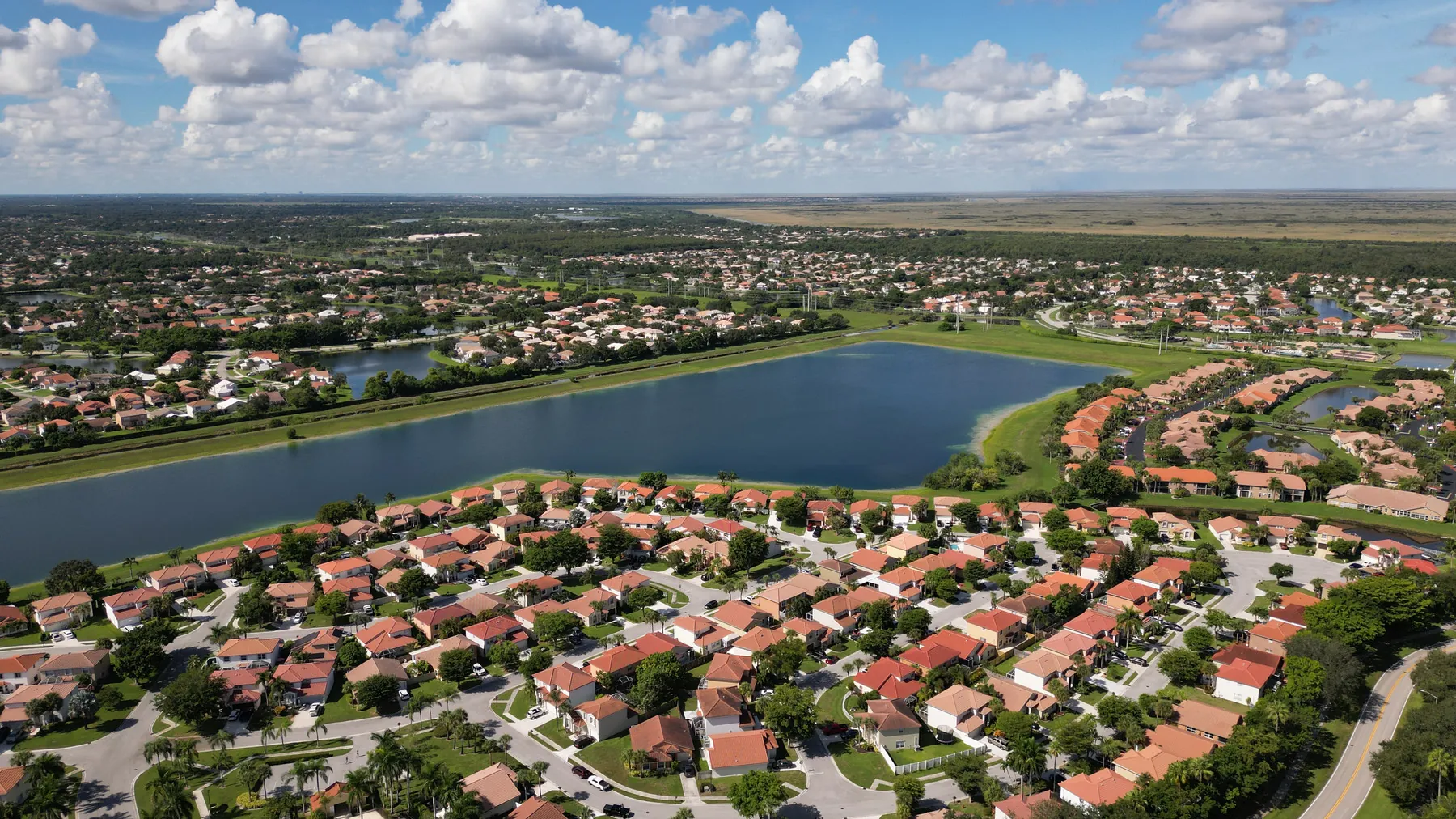
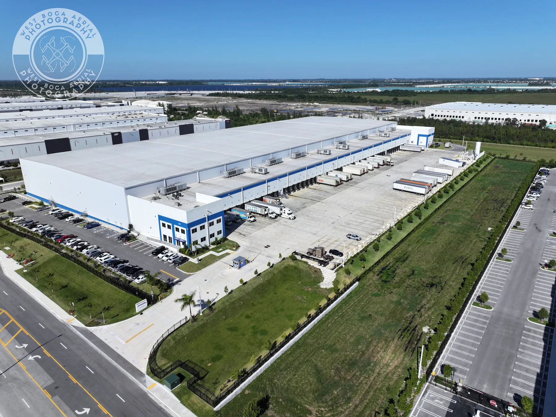
Start with the property type, its strongest visible features and the people who will use the finished work. A broker, owner, developer, property manager or marketing team may need a different way into the same site story. Naming the audience and intended use helps focus the plan before the flight.
The flight creates a deliberate mix of higher establishing views, useful mid-level angles and selected details. A broader image can show the relationship between the property and its surroundings, while closer views can bring out exterior features, arrival, parking, rooflines, landscaping or the character of the site.
Images are most useful when people can find the right view quickly. The final delivery can be organized around the assignment so a team can review, present and retain the visual record without having to sort through a large group of loosely related frames.
When an assignment needs a more detailed overhead reference for a development, land or construction site, a separate drone mapping service may be the better companion. It serves a different purpose from presentation photography, and the right mix depends on the question the team needs to answer.
Aerial real estate photography is especially valuable when the setting changes the conversation. A commercial site may need to show how visitors arrive, where parking and loading areas sit, or how the building relates to nearby roads and neighboring property. A development may need a current view of land, circulation, open space and construction activity. A distinctive property may need the context of its waterfront, landscape, park, golf course or broader surroundings.
That aerial perspective works best beside, not instead of, the images that communicate close detail. Ground photography can show materials, entrance experience and architectural features at eye level. Aerial images establish the larger relationship between those features and the site. Together, they give someone reviewing a listing or presentation a more complete sense of place before a showing, meeting or site visit.
For projects that change over time, timing can be as important as camera position. A pre-construction flight can preserve the original setting. A milestone visit can document an area before it is covered or altered. A completion flight can show the finished property, landscape and circulation in one cohesive set. Planning those moments early can create a stronger visual record than waiting until a useful view has passed.
The final selection should also be honest about what an image can establish. Aerial photography can document visible context, scale and relationships around a site. It does not replace a survey, appraisal, title review, engineering analysis or property disclosure. Keeping that line clear makes the imagery more trustworthy and helps the next professional use it for the right purpose.
Whether the assignment supports a commercial listing, development update, property presentation or a long-term visual record, the goal stays the same: give the viewer a clear reason to understand the site more quickly. West Boca Aerial Photography builds the flight around that outcome, then delivers images made to carry the conversation forward.
Aerial photography can show the property in relation to its lot, access, roads, parking, neighboring uses, water, open space and other visible features that are difficult to communicate from ground level alone. The right views depend on the property and its audience.
Yes. West Boca Aerial Photography plans commercial property, development and site-documentation flights around the specific assignment. Share the address, intended use, priority features, timing, site contact and any access or safety details so the coverage can be scoped appropriately.
Yes. When still images and motion will both be useful, the capture plan can include each format. Still photography is often best for a listing, deck or document, while video can add a more immersive sense of approach and setting.
Start with the property address, the reason for the photography, intended audience, priority views, preferred timing, on-site contact, access details, active work and any restrictions. A listing draft, site plan or reference images can help focus the shot list.
Give the property a clearer point of view.
Request a property flight plan →