Commercial Property
Aerial video can show how a building, parking area, access route and surrounding district connect. It gives a prospective tenant, buyer or investor an immediate sense of the site before a visit.
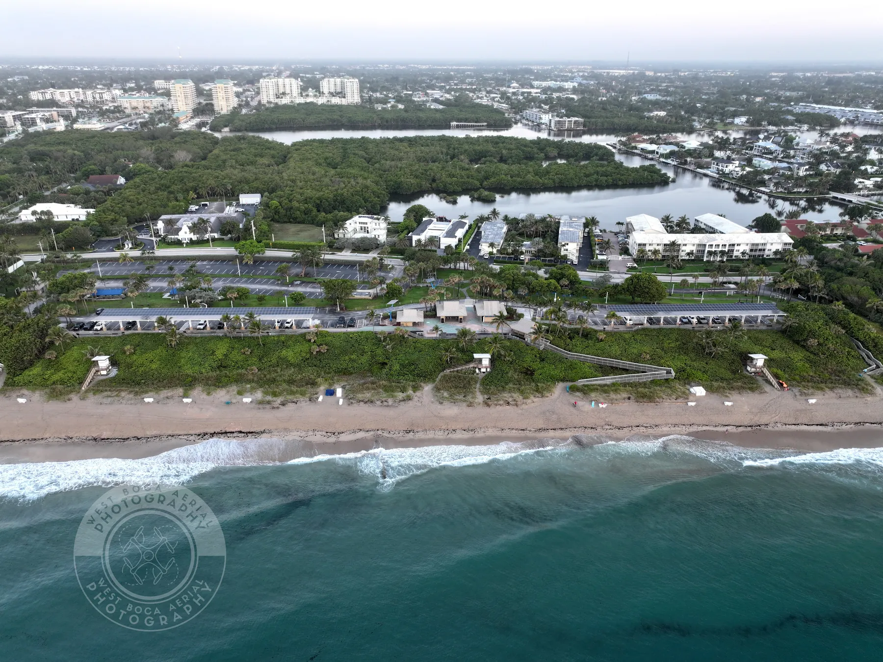
Purposeful aerial video for properties, projects and places that need a clear story in motion.
Fort Lauderdale drone videography is most useful when it is planned around the person watching it. A commercial listing may need to show how a building connects to roads, parking, waterways or the surrounding district. A development team may need a concise update that makes current scale and progress legible. A park, hospitality property or waterfront destination may need a sequence that helps someone feel the approach and setting before arriving.
West Boca Aerial Photography begins with that purpose, then maps a flight around the few movements that make the finished piece work. A wide establishing view can orient the viewer. A gradual approach can introduce a building, entrance or shoreline. A lateral movement can show the relationship between a site and the areas around it. The goal is not a long collection of unrelated passes. It is footage that answers a real question clearly.
That focus matters for commercial properties. A person reviewing from another city may need to understand access, surrounding uses, parking, loading areas, roof context or the distance between a building and a visible amenity. Aerial video can bring those relationships together in a way that still images alone may not, while a companion set of photography preserves the selected details a team needs to review closely.
For a changing project, timing shapes the value of the footage. A pre-construction flight can establish the original setting. A milestone visit can record visible work while it is still accessible. A completion sequence can place the finished property within its surroundings. Planning around those moments creates a more useful record than treating every flight as the same generic deliverable.
Aerial video can show how a building, parking area, access route and surrounding district connect. It gives a prospective tenant, buyer or investor an immediate sense of the site before a visit.
A planned sequence can turn an active site into a clear progress update. Establishing views, measured passes and selected details help a team communicate the phase, footprint and relationship between work areas.
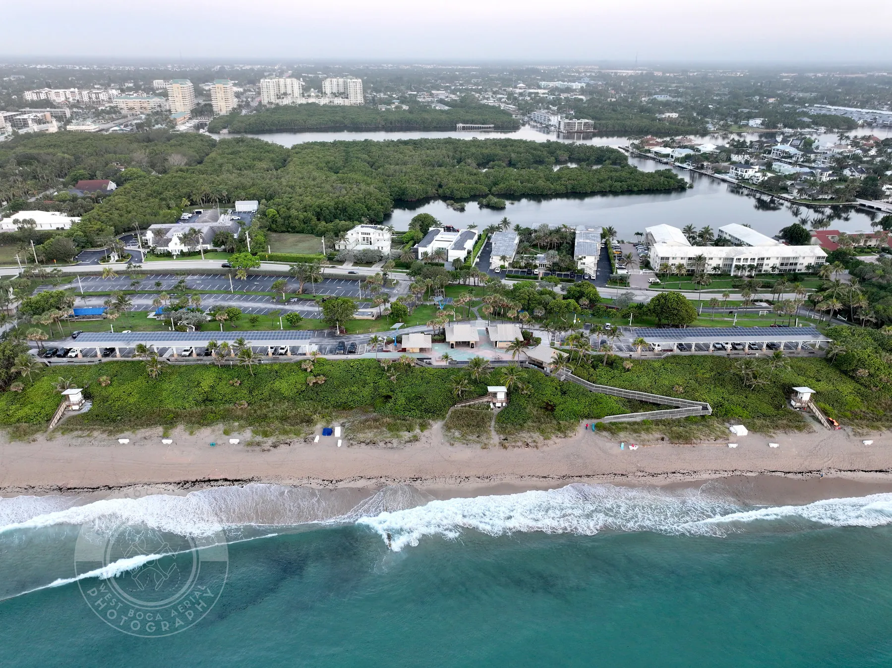
For a waterfront, park, hospitality property or event setting, motion can make the approach, scale and atmosphere of a place easier to understand while still keeping the work grounded in the assignment.
The strongest video sequence has a clear beginning, middle and finish. Before the flight, the site contact can identify the arrival route, the areas that need to be visible, the people who will see the finished footage and the final use. A short presentation, listing, project update or social cut all need different priorities, so those decisions belong in the brief.
On an active site, coordination keeps the capture safe and useful. Work zones, vehicles, restricted areas, deliveries, people, launch space, weather and airspace can all influence the best time to fly. Naming those conditions early helps keep the pilot focused on the approved views and reduces the chance of missing an important moment or returning for a preventable reshoot.
The final clips should be easy to use, not difficult to sort through. West Boca Aerial Photography can organize footage around the assignment, whether it supports an editor, a marketing team, a property presentation or an internal project record. When a project needs a finished edit, agreeing on the intended platform, length and audience before the flight makes the capture plan more useful from the first shot.
Explore commercial drone videography →Explore Fort Lauderdale aerial photography →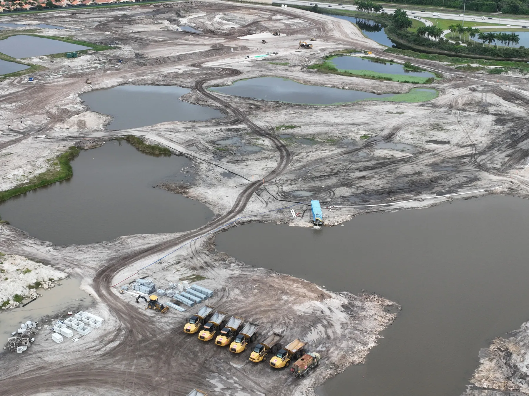
Start with who needs to see the video and what they should understand. A prospective tenant, investor, project owner, community stakeholder or marketing team may need a different route through the same site. Identifying the audience, priority views and intended use gives the flight a clear direction.
West Boca Aerial Photography plans around access, active conditions, timing, safety boundaries and the parts of the property or project that matter most. That preparation supports calm, deliberate movements rather than an improvised collection of flyovers.
Finished clips are prepared around the assignment so the right people can review, edit or share them without losing the context of the flight. When still images will help the same audience, aerial photography can be coordinated with the video plan.
Video and still photography are strongest when each is asked to do the job it suits. Aerial footage can guide a viewer through a property, show the progression from street to site or reveal the wider relationship between a project and its surroundings. Still photography can provide the selected, high-resolution views that belong in a listing, presentation, project record or closer review.
For development and construction work, a focused aerial sequence can make an update faster to absorb. It can show the scale of the site, visible progress, circulation and the relationship between completed and active areas. It does not replace an engineering review, survey, inspection or formal site report. Keeping those limits clear lets the footage support the right next step without overstating what a flight can establish.
For a commercial property or destination, thoughtful movement can make the setting feel more tangible. A waterfront edge, campus, recreation area, surrounding road network or visible amenity may be central to the story. The flight is planned to show those features honestly, with the timing and viewpoint that best serve the viewer, not simply to make a dramatic image.
Whether the next use is a property presentation, a project update, a marketing piece or a lasting visual record, West Boca Aerial Photography creates aerial video around the decision it needs to support. That keeps the footage focused, appropriate for the site and ready to carry the conversation forward.
West Boca Aerial Photography supports commercial property, construction, development, public-space, hospitality and destination assignments where a planned aerial sequence can help people understand the place or project.
Yes. Still photography and video can be planned together when both will be useful. Photography gives a team selected high-resolution frames, while video can show approach, movement, scale and connection across the site.
Yes. A construction video flight can be scheduled around a specific milestone, site access, active work areas, safety considerations and the views that will make the update useful to owners, stakeholders or the project team.
Share the site address, intended audience, preferred timing, on-site contact, key views, access details and any operational or privacy boundaries. A site plan, existing footage or simple reference images can help focus the shot list.
Give the site a clearer story in motion.
Request a video flight plan →