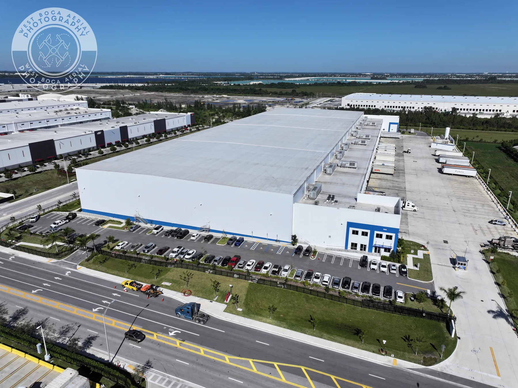
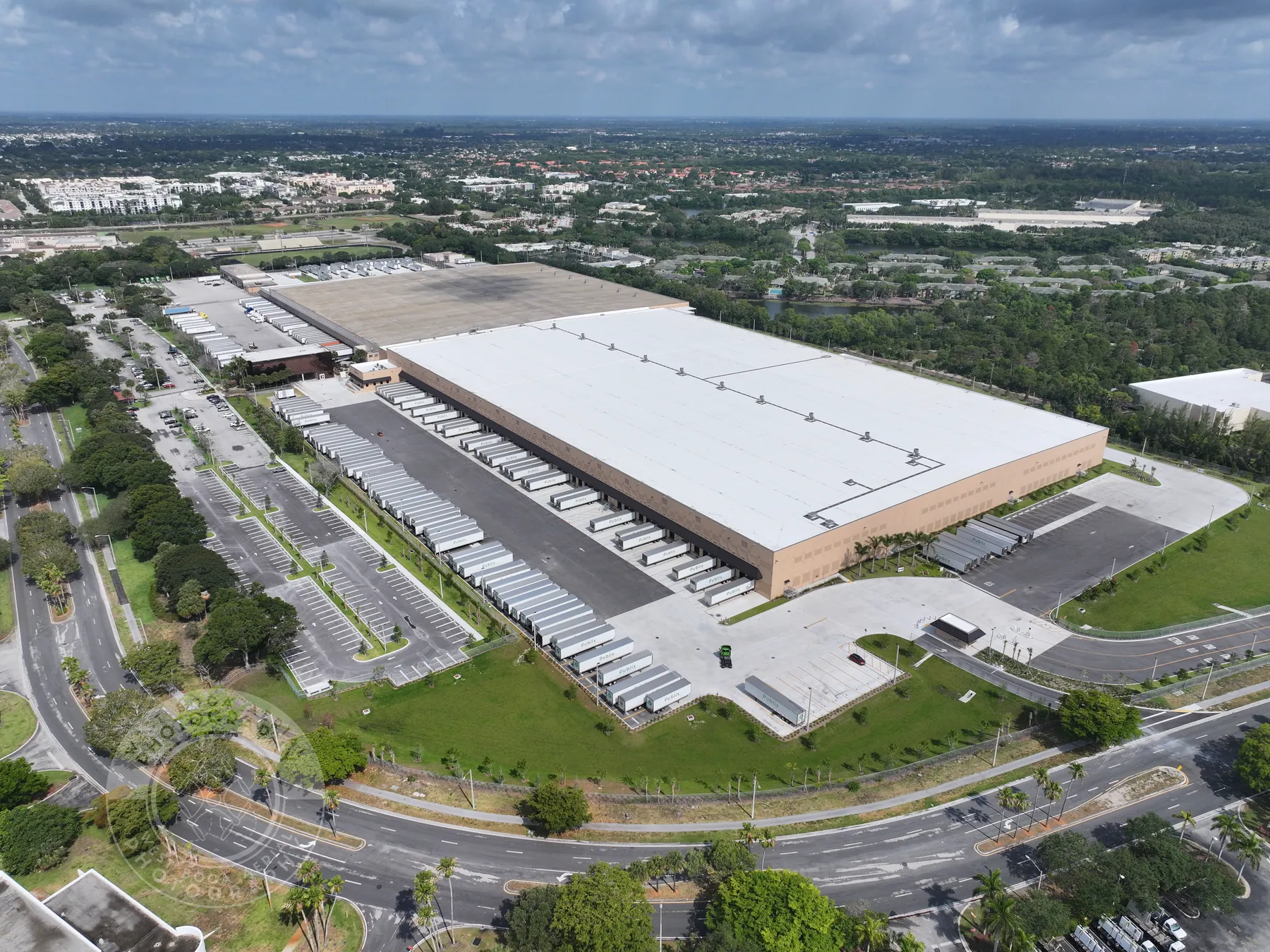
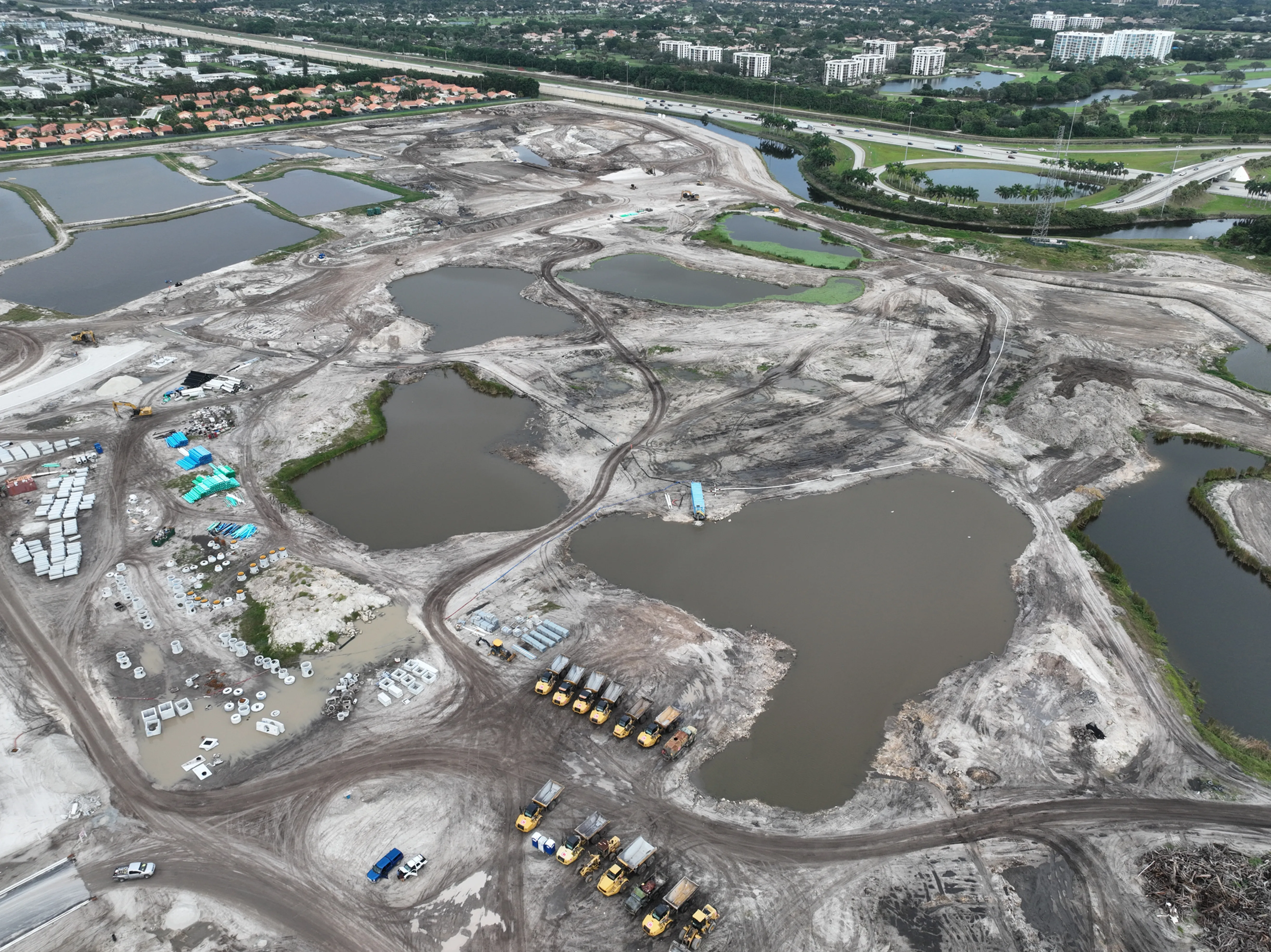
Fort Lauderdale properties and projects often need to be understood at more than one scale. A ground image may show a finished entrance, a façade detail or a work area clearly. It cannot always show how a building relates to a busy road, its parking pattern, loading access, neighboring uses, waterways or the larger development around it. A well-planned aerial image connects those pieces in one view.
West Boca Aerial Photography starts with the purpose of the finished material. A commercial broker may need a concise group of images that lets a prospective tenant understand access and the surrounding area. A property owner may need a current record before work begins. A construction team may need a consistent overview for an update, while a facilities team may need high-resolution context before deciding what to inspect or maintain next.
That conversation shapes the flight plan. The assignment can be planned around the correct time of day, active areas, safe access, required approvals and the practical views that will be used after the visit. The aim is not to produce a large folder of similar images. It is to create a useful set of files that makes the next review, presentation or project decision easier.
For commercial property, the strongest aerial coverage usually answers the questions a remote viewer would ask during a first review. Where does traffic enter and leave? How does a building sit within the parcel? Is there room for parking, deliveries or a staging area? What is immediately nearby? A targeted capture can make those relationships legible while leaving the closer finish details to ground photography.
For construction and redevelopment, the priority is often continuity. A project team may need a clear baseline before site work begins, then a repeatable overview at selected milestones. Matching a few useful viewpoints from visit to visit gives owners and stakeholders a much better way to see progress, changing access, exterior work and the wider footprint without relying on an informal collection of unrelated images.
Commercial aerial photography can also be paired with video, ground coverage, panoramas, mapping or thermal work when that broader mix serves the assignment. The right deliverables depend on the site and the audience. A marketing package may need a polished overview and a short movement sequence. A project record may need repeatable positions, organized dates and detail views that can be compared as conditions change.
Every site has boundaries. Before takeoff, the team can identify areas that should be documented, views that should stay internal, active work zones, people or operations that need to be avoided and the material that will be shared publicly. That preparation keeps the assignment focused and helps the final delivery remain appropriate for its intended audience.