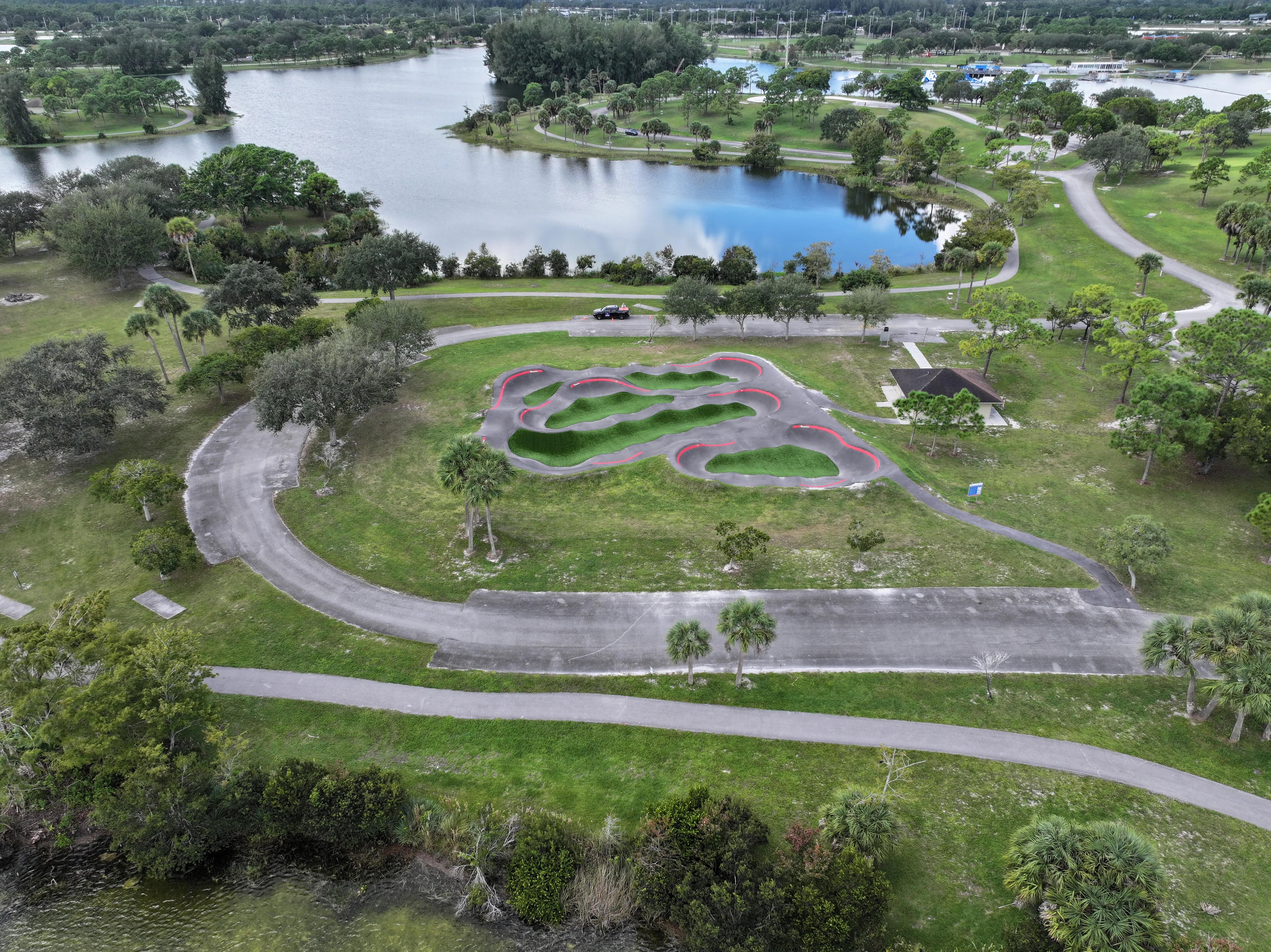
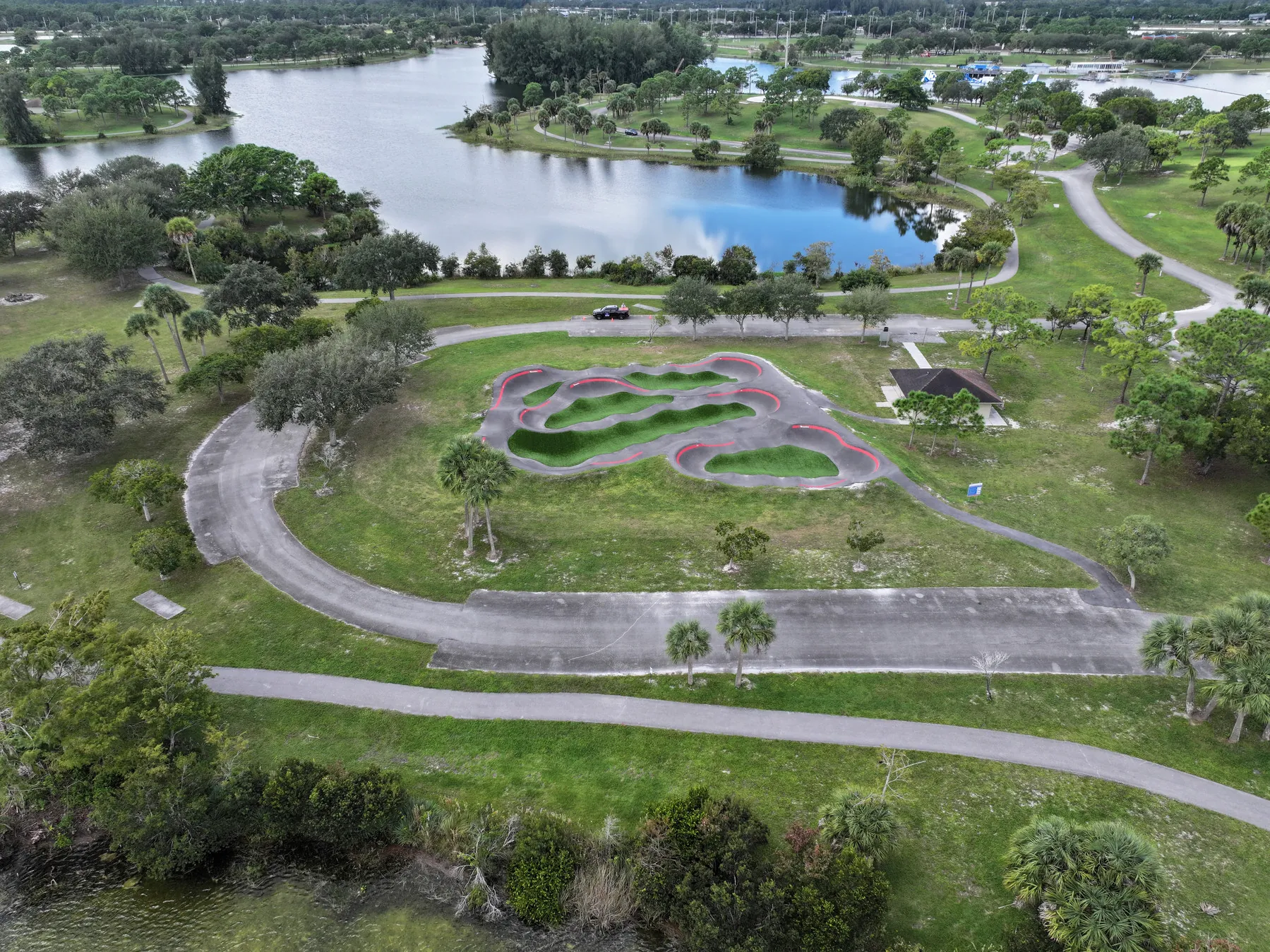
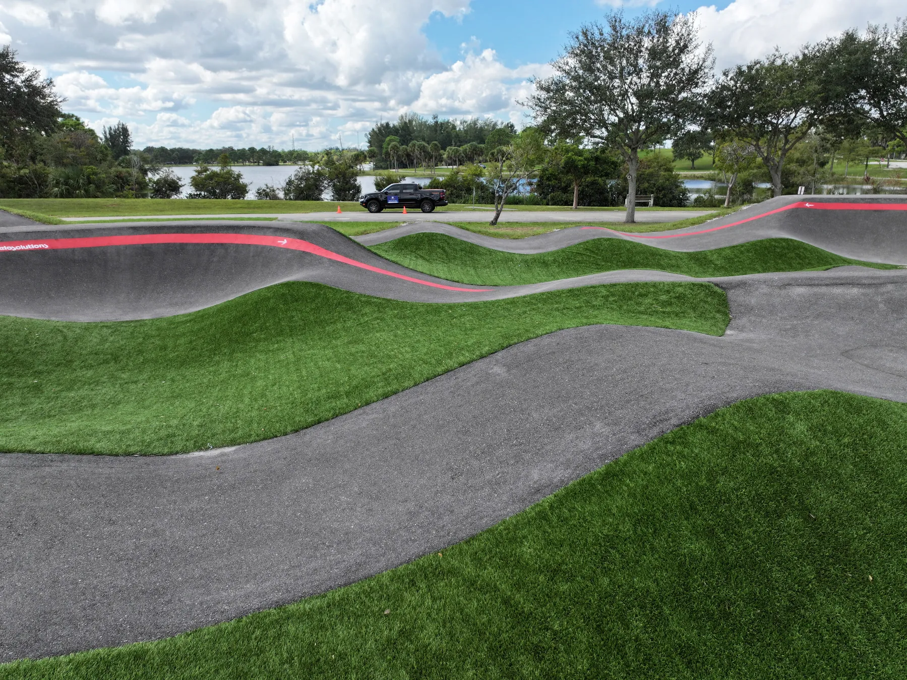
West Palm Beach drone photography should do more than provide a dramatic overhead angle. The useful images make a place easier to understand: how a park fits within its neighborhood, where a property sits in relation to roads and surrounding uses, how a construction site is progressing or what an exterior condition looks like before a team schedules the next step.
West Boca Aerial Photography starts with the decision the finished material needs to support. A public project may need a small group of clear, polished views for a community update. A commercial property may need images that make access, parking, frontage and scale visible immediately. A construction team may need repeatable perspectives that can be compared from one milestone to the next.
That purpose shapes the flight plan, timing and delivery. Instead of collecting a large folder of near-duplicate angles, the assignment is organized around the views that will be shared, reviewed or referenced later. The result can be concise for a one-time marketing need or structured as a longer record for a changing site.
Aerial stills, video, panoramas, ground photography, mapping and thermal capture can be combined when they add value to the job. The right mix depends on the site and its audience. A property campaign may benefit from a wide establishing view and a short video sequence, while a project record may need consistent overview images and detailed site context instead.
Before takeoff, West Boca Aerial Photography coordinates around the location, access, timing and any views that need special attention. That creates a more efficient visit and gives the people using the finished work a clearer, more dependable picture of the site.
For a property team, a little direction before the visit makes a meaningful difference. It helps to identify the site boundaries, the approach a visitor takes, the areas that need to be visible, any nearby features worth including and the uses that must remain private. Those decisions turn a broad aerial perspective into a practical presentation tool for owners, brokers, tenants, buyers or project partners.
For a construction, maintenance or planning assignment, the questions are different. The useful material may need to show a particular exterior condition, roof area, staging zone, access route, drainage relationship or work phase before it changes. The site contact can also point out active work areas, restricted zones and the best time to capture the condition safely. That preparation keeps the visit focused and reduces the risk of returning for a missed view.
Delivery should be planned with the same care as capture. A team may need a concise selection for an update, a dated set of high-resolution files for its project record or a separate approved group for public use. Organizing the images by assignment and purpose makes the finished material easier to find when the original site condition is no longer visible.