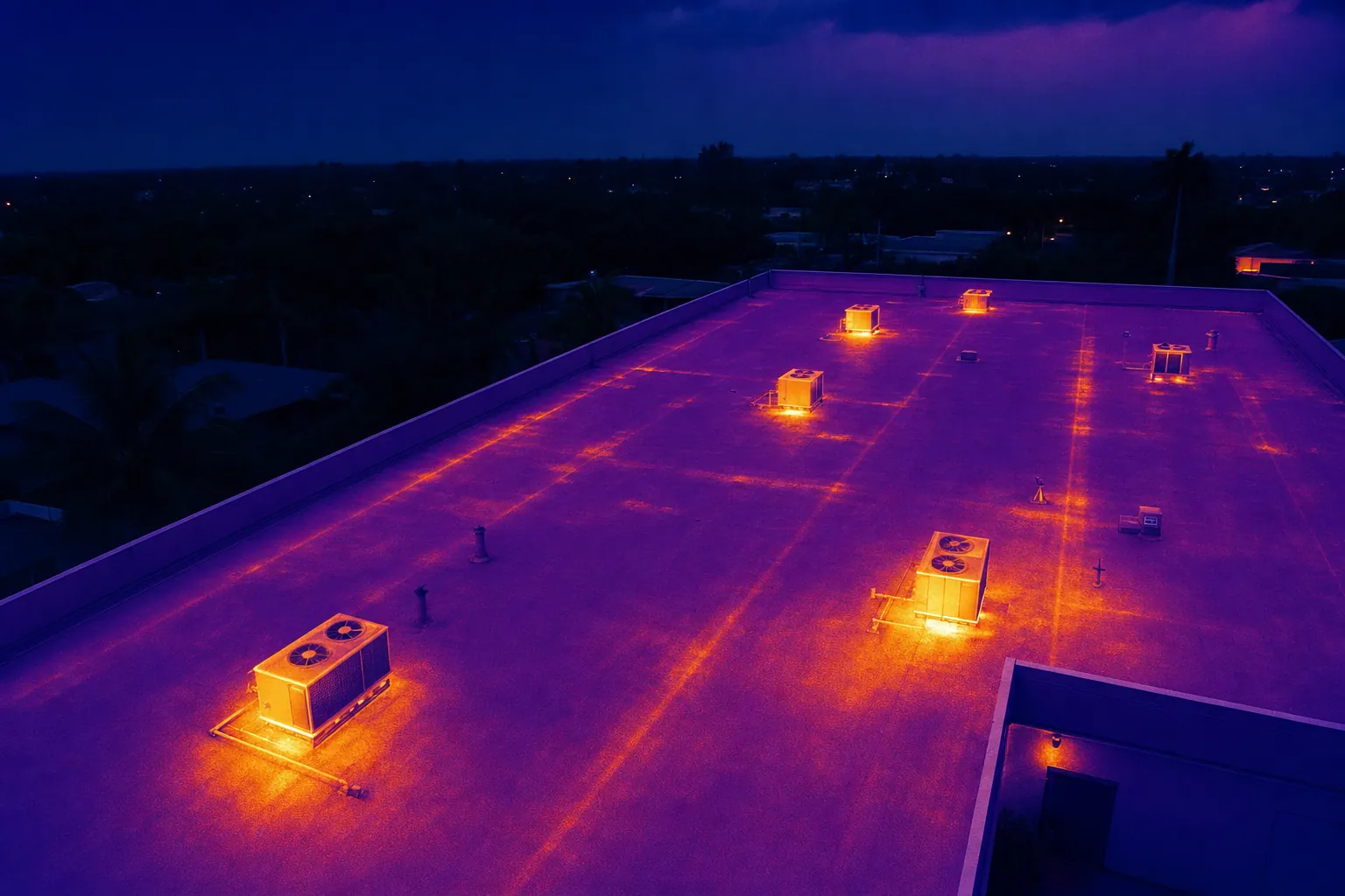
Thermal drone help for lost pets.
A faster aerial view when a beloved pet is missing, planned around terrain, weather and the safest search area.
Request search support →More ground covered, with clear expectations.
When a pet goes missing, the search can become overwhelming fast. Thermal drone support gives families and volunteers a high view of open land, yards, canal edges, fields and other difficult-to-scan areas.
It is a search aid, not a guarantee. A thermal camera reads heat patterns, so vegetation, roofs, wildlife, warm pavement and weather can all affect what appears in the image. Every possible sighting still needs a careful ground check.
Share a recent photo, last known location and time, likely direction of travel, access details and nearby hazards. The aim is to give the people searching a clearer place to look next.
- 01
Share the last-known details
A recent photo, location, time last seen and access notes help define the first search area.
- 02
Check conditions and access
Weather, trees, water, active roads, people and airspace affect whether a flight is useful and safe.
- 03
Search in clear sections
The flight is organized into manageable areas so possible heat signatures can be shared with ground searchers.
- 04
Follow up carefully
Thermal imagery can direct attention, but it does not confirm an animal on its own.
Send the location and last-known details to start a practical conversation.
Request search support →