WBAPWest Boca
Aerial Photography
Aerial view of a public green space and surrounding roads in Jupiter, Florida
Palm Beach Gardens, Florida

Palm Beach Gardens Drone Photography

Commercial aerial imagery for property, projects and places that need a clear, useful view from above.

FAA Part 107Certified remote pilot
$1M insuredLiability coverage
1,700+Commercial flights
A better site view

Make the full property easier to understand.

Palm Beach Gardens drone photography is most useful when it helps a viewer understand how a property works as a whole. A ground photograph can show an entrance, a facade, a landscape detail or a finished interior-adjacent feature. It cannot always show how the building relates to its approach, parking, neighboring uses, surrounding roads, open space and the broader setting. A planned aerial image brings those relationships together in a way that is easy to review and share.

That perspective serves more than a polished marketing image. A commercial owner may need a current visual record before an improvement begins. A broker may need a concise image set that makes a property legible to someone reviewing it remotely. A hospitality team may need to show arrival, grounds and the setting around a venue. A project manager may need repeatable views that show what changed since the last update. The useful assignment starts with that practical need, then works backward to the right views, timing and delivery.

West Boca Aerial Photography plans coverage around the site and the people who need the finished material. A property presentation may call for broad establishing views, a clear approach image and selected angles that show the architecture and grounds. An active development may need a more structured set of overview images, site circulation, exterior progress and changing access conditions. When the question is operational rather than promotional, the priority can shift to a high-resolution record that gives a team dependable context for later review.

The best result is focused rather than excessive. A small set of considered positions can answer more useful questions than a large folder of near-duplicate frames. Before the visit, a site contact can identify the views that matter, any areas that should remain private, the time-sensitive conditions that need to be visible and the people who will use the final material. That preparation keeps the flight efficient and helps the delivered work stay useful well after the site changes.

Timing and privacy deserve the same attention as the camera position. A property may have guests, residents, active crews, nearby homes or security-sensitive areas that should not appear in public-facing material. A clear brief can separate the complete internal record from the smaller selection intended for a listing, presentation or public update. It also helps establish the right capture window, whether the purpose is quieter activity, a visible project milestone or light that makes the property easier to read.
Commercial capability

Coverage matched to the work on site.

01

Property & Hospitality

Aerial stills and video can show a property as a visitor experiences it: the approach, grounds, parking, nearby roads, water, adjacent uses and the scale that a ground-level image cannot always explain. The result can support marketing, leasing, ownership updates and remote review.

02

Construction & Development

A planned set of repeatable viewpoints gives a project team a clearer record of grading, access, exterior work, material staging and major milestones. Coverage is shaped around the stage of work that needs to be visible, not a generic collection of flight footage.

03

Mapping & Inspection

When a site needs more than presentation imagery, high-resolution detail, orthomosaic mapping and thermal capture can be scoped around the question a team needs to answer. Each deliverable is selected for its practical use after the visit.

Nearby field work

Useful context for public and commercial sites.

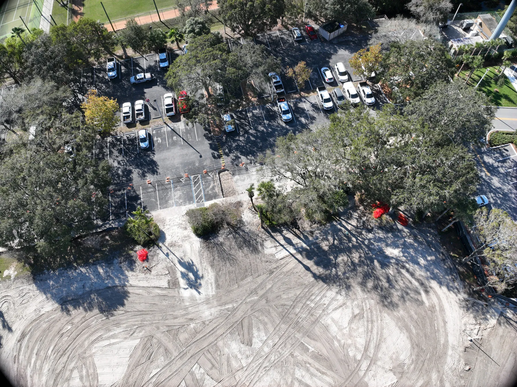
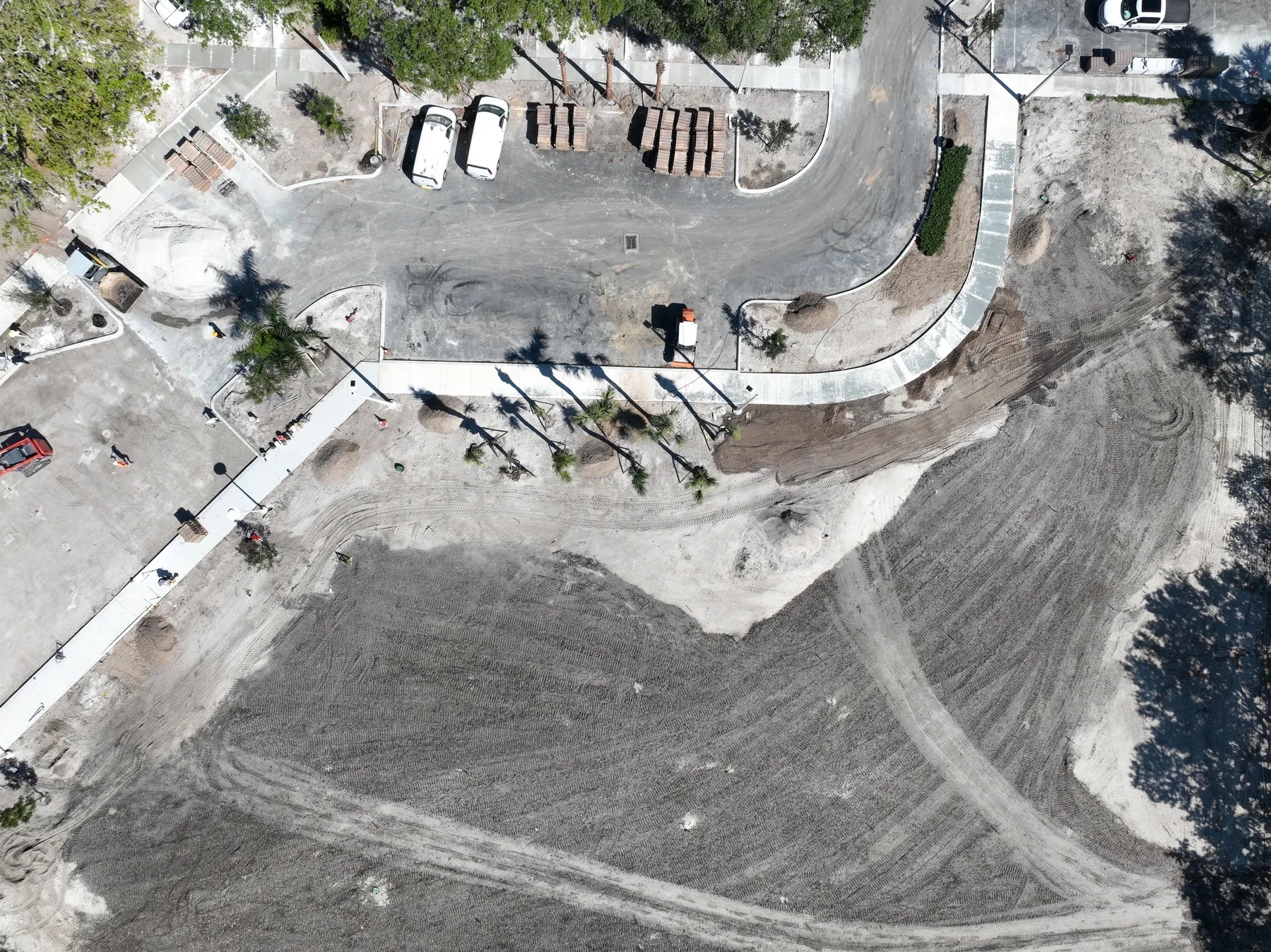
A municipal green-space assignment in nearby Jupiter shows how an elevated perspective can make paths, roads, landscape, neighboring uses and the full footprint of a place easier to understand in one frame. It is the same practical value a property, development or public-space team needs when a ground-level view cannot show how the whole site fits together.

For a property presentation, the useful selection may include broad context, an approach view and a few angles that make access and the grounds easy to read. For construction or renovation, it may include repeatable overview images, exterior progress, roof context and the areas that will soon change or be covered. The capture plan stays tied to the decision the client needs to make after the visit.

When the assignment requires more than perspective imagery, coverage can include complementary deliverables. Ground photography can clarify close details and finishes. Aerial video can add controlled movement to a presentation. Mapping can provide a broader overhead reference, while thermal capture can help a qualified team identify areas that may need a closer review. Each option is included because it supports the use of the finished material, not simply because it adds more footage.

West Boca Aerial Photography has worked across commercial property, municipal places, development sites and changing field conditions in South Florida. That range helps shape a plan around the real question in front of the client, whether the goal is a concise property presentation, a dated project record or a clearer reference for planning and review.

View nearby public-space field work Explore construction and mapping
Aerial view of a public green space, roads and surrounding development in JupiterAerial view of paths, open space and surrounding roads in Jupiter
Start with the site

A focused plan from brief to delivery.

  1. 01

    Define the useful views

    Start with the question the imagery needs to answer. That may be showing a property in context, documenting a construction milestone, preparing a presentation, recording a condition before work begins or giving a remote stakeholder a clearer sense of the site. The audience and intended use determine which views will matter after the flight.

  2. 02

    Coordinate the visit

    West Boca Aerial Photography plans around the property, access, weather, operating conditions and the views that matter. For active sites, that can include a site contact, a safe launch area, work-zone boundaries and the point in the schedule when the condition is most useful to document. For presentation work, it can mean choosing the light and wider context that best explains the place.

  3. 03

    Receive organized files

    Finished material is prepared for its intended audience, whether that is a concise selection for a property presentation, a high-resolution archive for a project team or a repeatable series that can be compared over time. Organized delivery keeps the people using the images from having to sort through redundant footage when they need an answer.

Questions

Frequently asked questions

West Boca Aerial Photography supports commercial property, construction, development, public-space, mapping and visual-inspection assignments where an elevated view helps a team explain, document or better understand a site.

Yes. Aerial coverage can make the relationship between a building, access routes, parking, landscaping, nearby roads, neighboring properties and surrounding open space easier to understand. Ground photography can be added when closer details are also needed.

Yes. Visits can be planned around key milestones, active work areas, access conditions and the specific views a project team needs to compare over time. Matching a small group of useful positions from one visit to the next creates a clearer record of change.

Share the property address, the intended use, preferred timing, access information, any operational or privacy boundaries, the people who will use the finished material and the deliverables that matter. That provides the right starting point for a focused flight plan.

Bring the site into focus.

Request a flight plan