In Delray Beach, the right aerial view can do more than make a project look good. It can show how a property sits within its block, give a development team a clean update from above, reveal the scale of new work or help a public-space project tell a more complete story. The useful result is not simply a high flight. It is a set of views that makes the next conversation easier.
West Boca Aerial Photography begins with what the finished material needs to accomplish. A broker may need a concise package that makes site access and surroundings immediately legible. A contractor may need repeatable progress views that keep owners and stakeholders aligned. A property manager may need a current record before maintenance, leasing or improvement work. The capture plan follows that purpose, so the final files are organized around real use instead of a folder of disconnected angles.
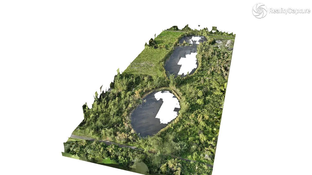
Delray Beach assignments can combine aerial photography, video, panoramas, ground coverage, mapping or thermal work when those formats add useful context. The scope stays tied to the site and the people who need to act on the finished images.
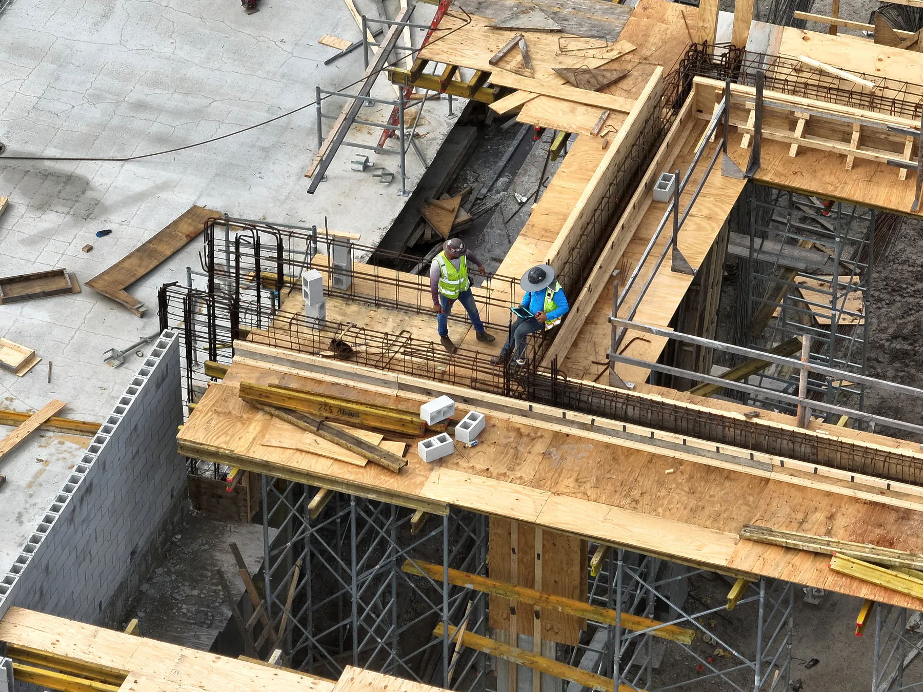
That planning matters especially when the site is changing quickly. A single well-composed overview can establish a baseline before construction begins. A scheduled series can show the same corner, elevation or access route as work advances. For a completed property, the focus may shift to the details that help a buyer, tenant, visitor or stakeholder understand how the place works in the real world.
The result should feel considered without becoming complicated. West Boca Aerial Photography can coordinate with the site contact, work around practical access needs and keep the attention on the views that make the assignment worth doing. Every project begins with a conversation about the site, not a one-size-fits-all shot list.