Commercial Property
High-resolution aerial and ground imagery that shows a property in context, from access and parking to scale, surroundings and key features.
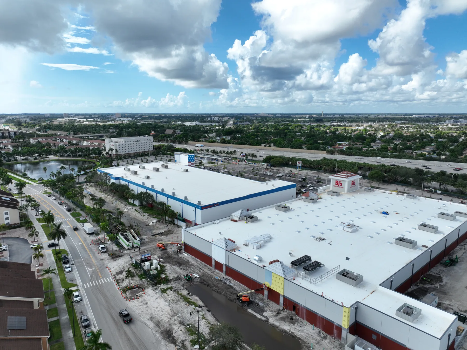
Commercial aerial imagery for property, projects and places that need a complete, usable view.
Whether the work is a commercial listing, an active construction site, a redevelopment plan or a public-space project, the useful images are the ones that answer a real question. West Boca Aerial Photography plans capture around the site, the audience and the deliverables that matter after the flight.
That can mean a clean hero image for a property campaign, repeatable views for a project update, a site overview for stakeholders or a high-resolution record for future reference.
High-resolution aerial and ground imagery that shows a property in context, from access and parking to scale, surroundings and key features.
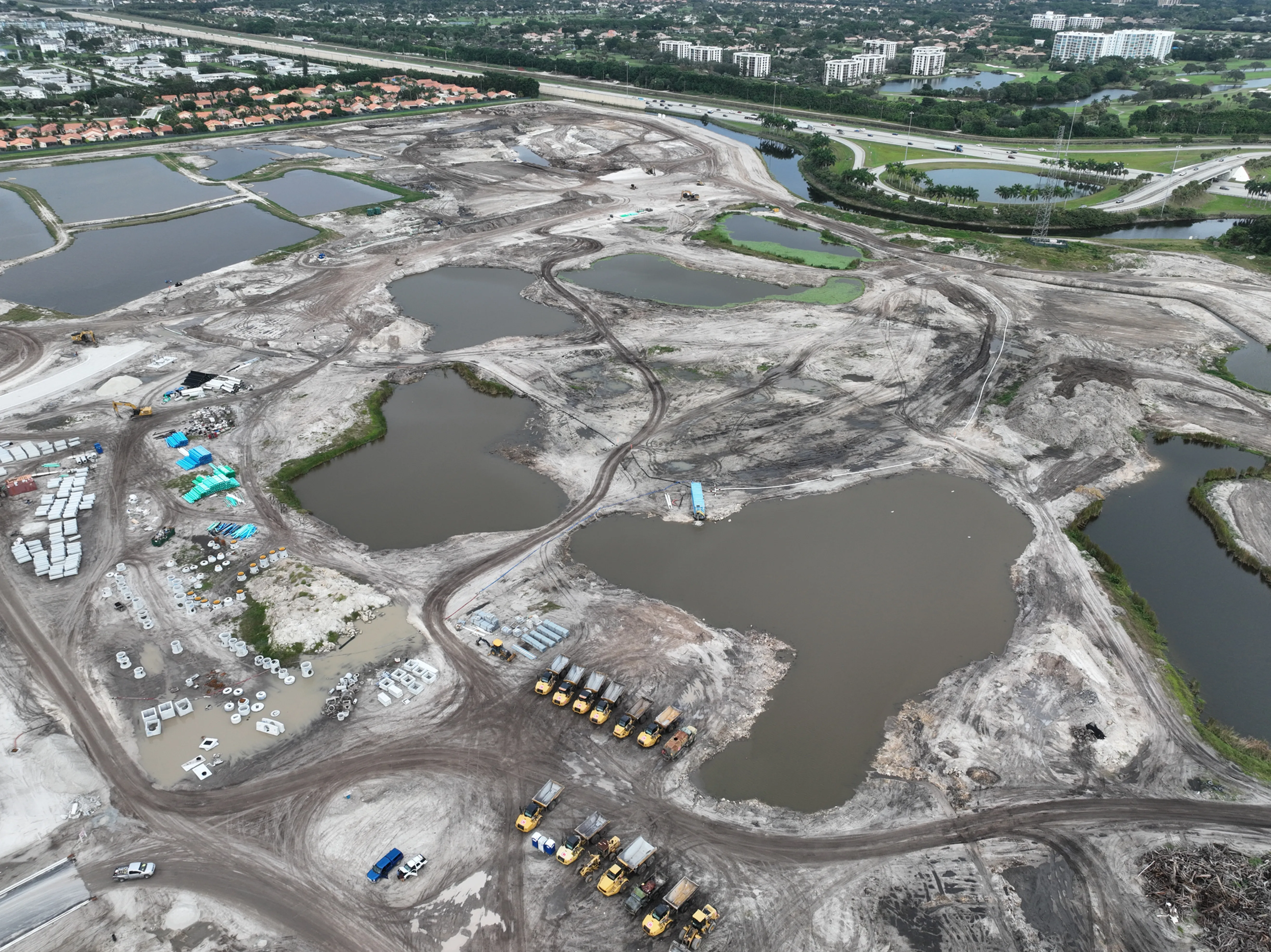
Repeatable views, project updates and site-wide capture for teams that need a useful record as work moves from preconstruction to closeout.
Orthomosaic, photogrammetry and thermal capture planned around the output a team needs to review, share or act on.
From commercial facilities and development sites to parks and public infrastructure, aerial coverage makes scale, access and progress visible in one frame.
Explore commercial imagery →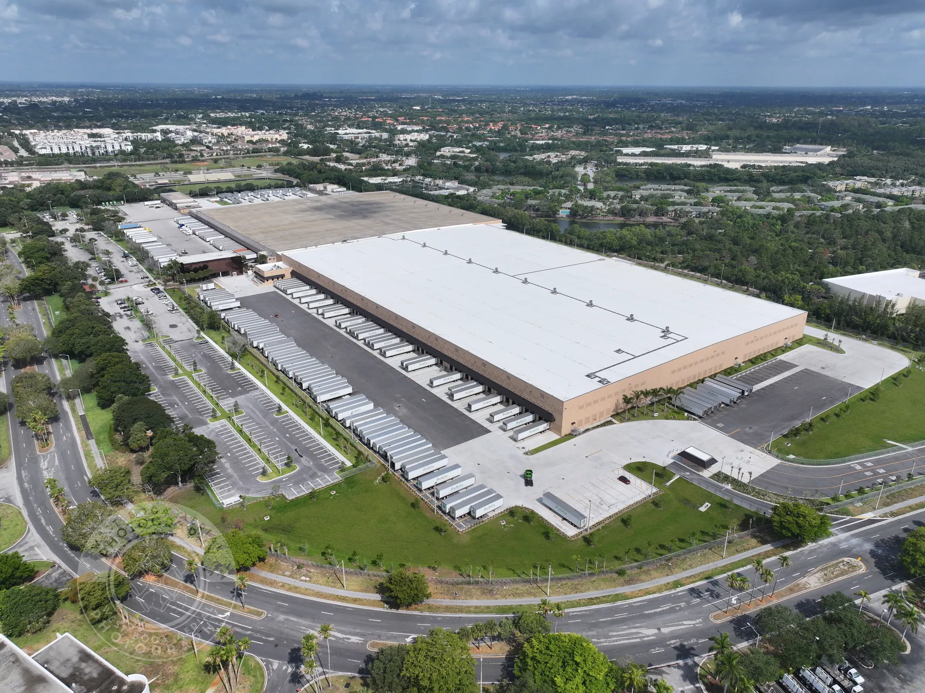
Send the site, timing, access needs and the decision the images need to support.
Build the right mix of aerial, ground, mapping or thermal coverage around the work.
Get organized imagery and project-ready files that are easy to share with the people who need them.
West Boca Aerial Photography works on commercial property, construction, development, mapping, inspections, public spaces and other assignments where an elevated view makes the work easier to understand.
Yes. A project can combine aerial and ground coverage when the assignment needs broad site context as well as closer views of details, access points or features at ground level.
Yes. Construction and development assignments can include repeatable progress views, high-resolution photography, orthomosaic capture and a delivery plan tailored to the project timeline.
Send the site location, the goal for the imagery, timing, access information and any required deliverables. West Boca Aerial Photography can then develop a flight plan around the assignment.
Bring the site into focus.
Request a flight plan →